


Fossa
The Vestine necropolis of Fossa, unearthed in 1992 along the state road 17, revealed over six hundred tombs dating from the 9th to the 1st century BC — a discovery that rewrote our understanding of pre-Roman central Italy. Anyone wondering what to see in Fossa will find a solid starting point here: a village of […]
Discover Fossa
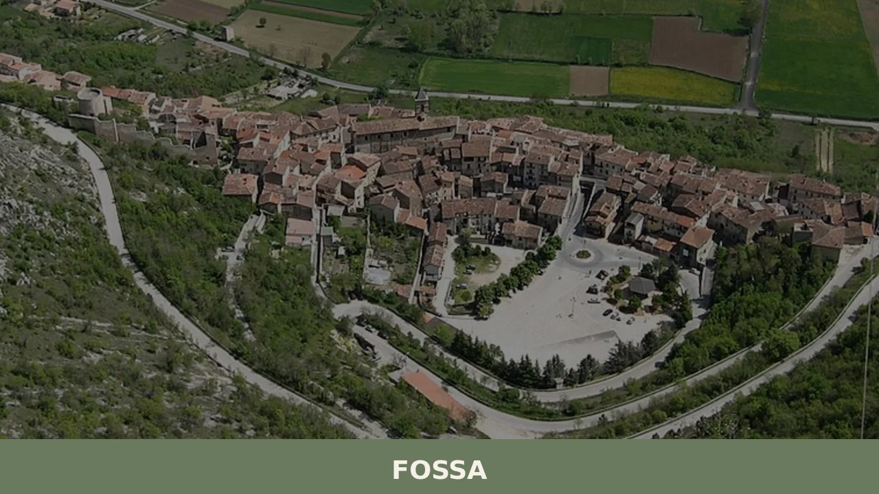
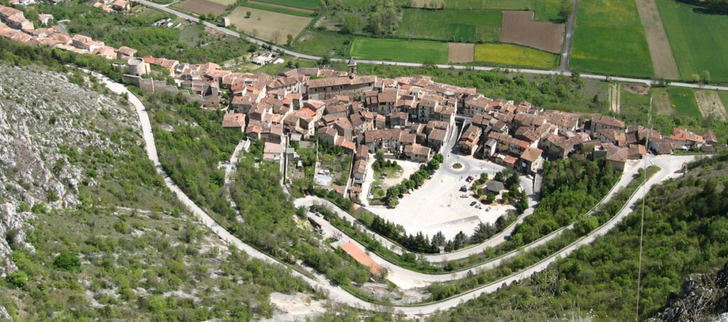
The Vestine necropolis of Fossa, unearthed in 1992 along the state road 17, revealed over six hundred tombs dating from the 9th to the 1st century BC — a discovery that rewrote our understanding of pre-Roman central Italy. Anyone wondering what to see in Fossa will find a solid starting point here: a village of 672 inhabitants at 644 metres above sea level in the L’Aquila basin, where every geological and architectural layer corresponds to a verifiable chapter of human occupation, from the Vestini to the Normans, from the Angevins to the 2009 earthquake and the reconstruction still underway.
History and origins of Fossa
The place name “Fossa” most likely derives from the shape of the terrain: a natural depression — a fossa, or ditch — in the alluvial plain at the foot of the western slope of the Gran Sasso. The first documented mention of the castrum dates to the early Middle Ages, but human settlement in the area is far older. The Vestine necropolis, with its bronze funerary beds and burial goods arranged in concentric stone circles, proves a stable presence from at least the 9th century BC. The Vestini, an Italic people of Sabine stock, controlled this stretch of the Aterno valley before the Roman conquest of the 3rd century BC.
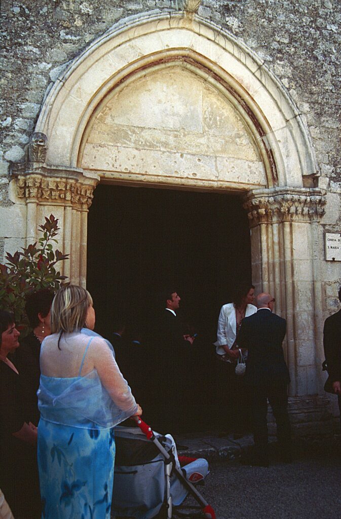
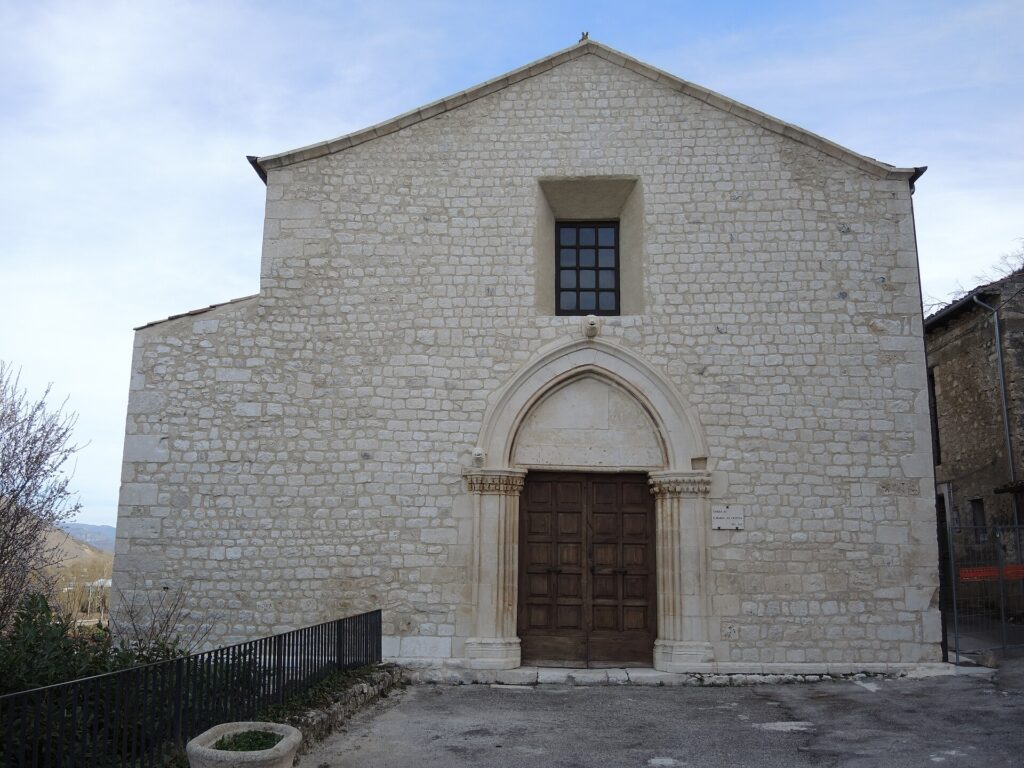
During the Middle Ages, Fossa was part of the barony of Carapelle and later of the territorial organisation of L’Aquila. The village suffered the consequences of the struggles between the Angevins and the Aragonese that marked Abruzzo in the 14th and 15th centuries. The church of Santa Maria ad Cryptas, built in the 13th century, preserves a cycle of frescoes that documents the circulation of figurative models between the Byzantine and Gothic spheres in Abruzzese territory. The earthquake of 6 April 2009, with its epicentre just a few kilometres away, caused severe damage to the historic centre and to the church itself, triggering a long process of restoration and structural consolidation documented in the dedicated Wikipedia entry.
The patron saint of the village is Pope Clement I, a 1st-century AD figure linked to the earliest Christian community in Rome. The patronal feast still represents one of the key moments of communal gathering for the community, reduced in population but active in safeguarding the territory after the earthquake.
What to see in Fossa: the 5 main attractions
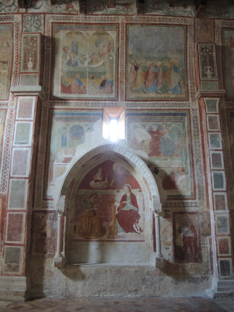
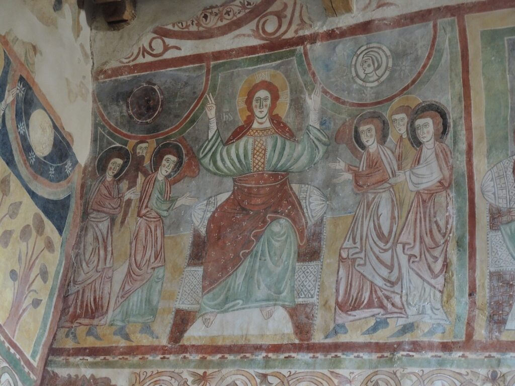
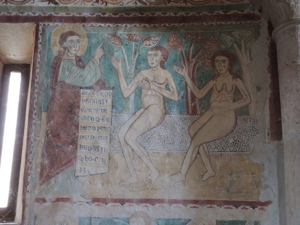
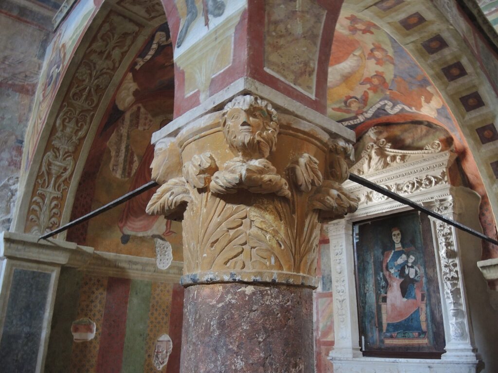
1. Church of Santa Maria ad Cryptas
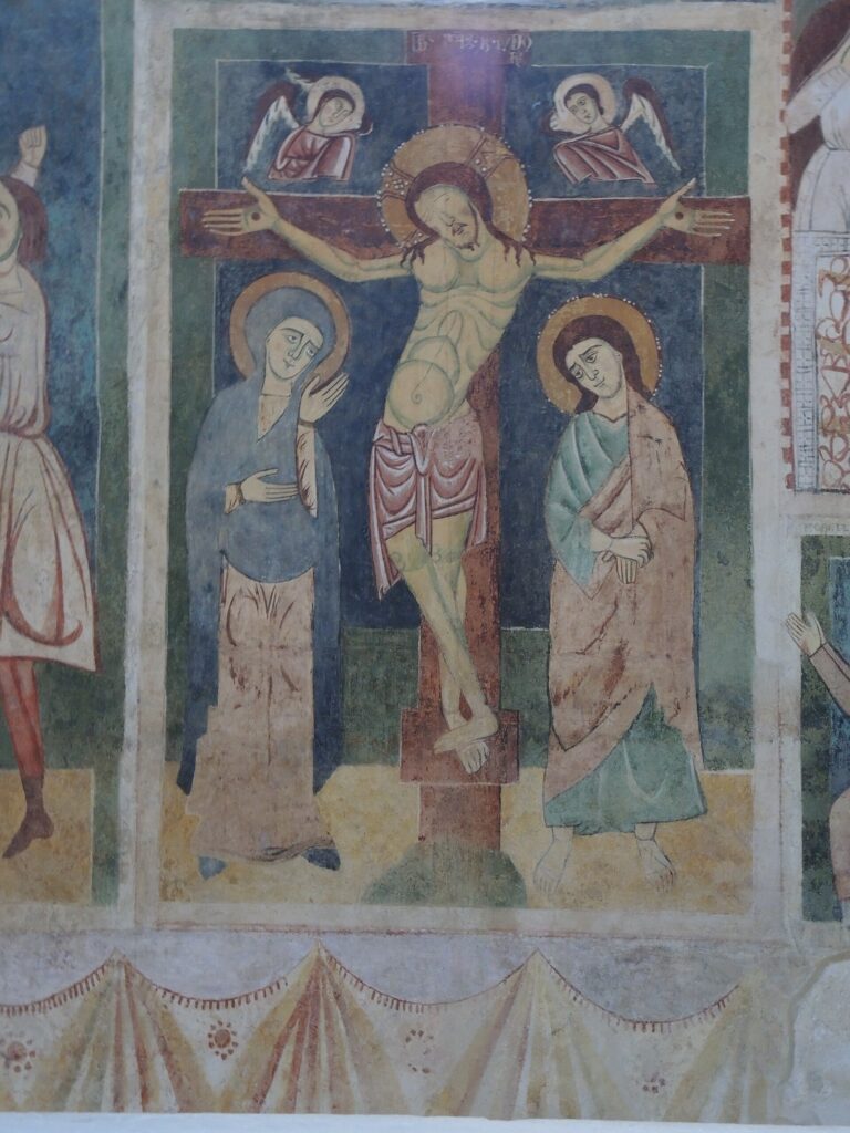
Built in the 13th century with a single nave and a semicircular apse, it preserves a cycle of frescoes blending Byzantine and proto-Gothic elements. Scenes from Genesis and the Last Judgement cover the side walls and the triumphal arch. Following the damage caused in 2009, restoration work recovered sections of painted plaster that the partial collapse had put at risk. The iconographic programme has been the subject of comparative studies with contemporary pictorial cycles in southern Italy.
2. Vestine necropolis
Discovered in 1992 during road works, it extends along the SS 17 with over six hundred burials spanning a chronological arc of eight centuries. The tumuli formed by concentric stone circles and the bronze funerary beds — some of which are displayed at the National Museum of Abruzzo — represent a unicum in the Italic archaeological landscape. The site documents funerary rites and social stratification of the Vestine people with a density of data that is rare for central Italy.
3. Convent of Sant’Angelo
A Franciscan complex situated in the upper part of the village, founded in the 15th century. The structure retains a cloister with a central well and traces of fresco decoration in the upper-floor corridors. The 2009 earthquake compromised part of the roofing and load-bearing walls, but consolidation work has stabilised the building. The location offers a direct vantage point over the L’Aquila basin and the profile of the Gran Sasso.
4. Historic centre and medieval tower
The old nucleus of Fossa retains the urban layout of a fortified medieval village, with a watchtower that once commanded the plain below. The local limestone masonry shows the stratification of successive interventions, from medieval facing to post-earthquake reconstructions in the 18th century. After 2009, several buildings were shored up and progressively restored, a process still visible in the scaffolding that continues to mark parts of the built fabric.
5. Trail to the Pagliare di Fossa
The pagliare — clusters of seasonal pastoral shelters built in dry stone — can be reached on foot in about an hour from the centre of the village. These structures document the system of vertical agro-pastoral economy that characterised the Abruzzese mountains: winter dwellings in the valley, summer shelters at higher altitude. Some pagliare still retain their original roofing and the masonry feeding troughs for livestock.
Food and local produce
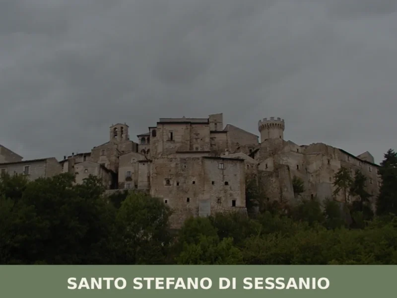
The table in Fossa reflects the repertoire of L’Aquila mountain cooking. Sagne — strips of fresh pasta made with water and flour — are served with mutton ragù or with a tomato and ricotta sauce. Arrosticini, skewers of diced sheep meat cooked over a fornacella grill, appear at every festival and trattoria in the basin. In autumn, lentils make their appearance — those from Santo Stefano di Sessanio, grown just a few kilometres away, have been granted Slow Food Presidium status — accompanied by pork sausages prepared according to local methods with wild fennel seeds.
L’Aquila DOP saffron, cultivated in the surrounding plain since the 14th century, is used in the preparation of risottos and desserts. Production is limited — just a few kilograms per hectare, harvested by hand flower by flower in October — and the price reflects this scarcity. In the hamlets and neighbouring municipalities, small farms produce pecorino cheeses aged in caves and sulla honey, often sold directly on the farm or at the weekly markets in L’Aquila.
When to visit Fossa: the best time of year
Fossa’s climate is continental montane: cold winters with temperatures dropping below zero between December and February, mild summers with highs rarely exceeding 30 degrees. The most suitable period for visiting the village and walking the trails to the pagliare runs from May to October. In summer, the altitude ensures lower temperatures than on the coast — a practical advantage for anyone planning to hike. The feast of the patron saint Pope Clement I and the Holy Week celebrations are the moments when community life becomes most visible. Since the 2009 earthquake, some structures in the historic centre remain under restoration: it is advisable to check the accessibility of individual monuments through the Municipality’s website before setting out.
How to reach Fossa
Fossa is approximately 12 kilometres from the centre of L’Aquila. By car, from the A24 Rome–Teramo motorway, take the L’Aquila Ovest exit and continue along the state road 17 towards Navelli for about 8 kilometres. From Rome the drive takes just under an hour and a half (approximately 120 km); from Pescara, take the A25 to the junction with the A24, for a total of about 110 km and one hour and twenty minutes of driving.
The nearest airport is Abruzzo Airport in Pescara (110 km). The reference railway station is L’Aquila, served by the Terni–Sulmona line with long journey times and limited frequencies. From L’Aquila to Fossa, bus connections are operated by TUA, but services are few: a car remains the most practical option.
What to see in Fossa and the surrounding area: other villages in Abruzzo
Fossa’s position in the L’Aquila basin makes it possible to include a visit as part of a wider itinerary through inland and coastal Abruzzo. Those wishing to explore the Pescara hinterland can reach Bolognano, a village in the Orta valley where the river has carved a deep, narrow limestone gorge that is now a regional nature reserve. The landscape changes radically compared to the Fossa plain: here, sheer rock faces and riparian vegetation dominate.
For an even sharper contrast — from the mountains to the sea — head towards Alba Adriatica, on the Teramo coast. The distance from Fossa is roughly 130 kilometres via the A24 and the A14, just under two hours of travel. The transition from 644 metres of altitude to Adriatic sea level takes place through the entire Gran Sasso massif via tunnel, a crossing that makes tangible the geographical complexity of a region where the distance between Apennine peaks and the coastline is no more than seventy kilometres as the crow flies.
📷 Photo Gallery — Fossa
Nearby Villages near Fossa
In Abruzzo More villages to discover
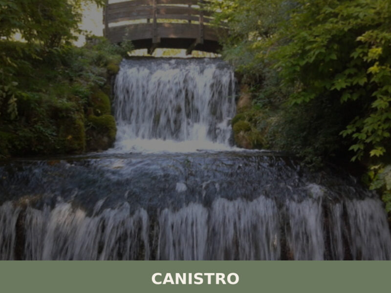
Canistro
A village of mineral springs and stone alleys split between two elevations in the Valle Roveto. Here is what to see in Canistro, Abruzzo.
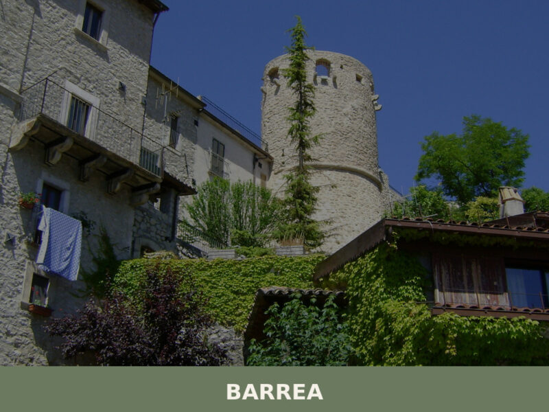
Barrea
A mountain village of 710 inhabitants at 1,060 metres in the heart of Abruzzo's national park. Discover what to see in Barrea, from its medieval tower to the lake below.
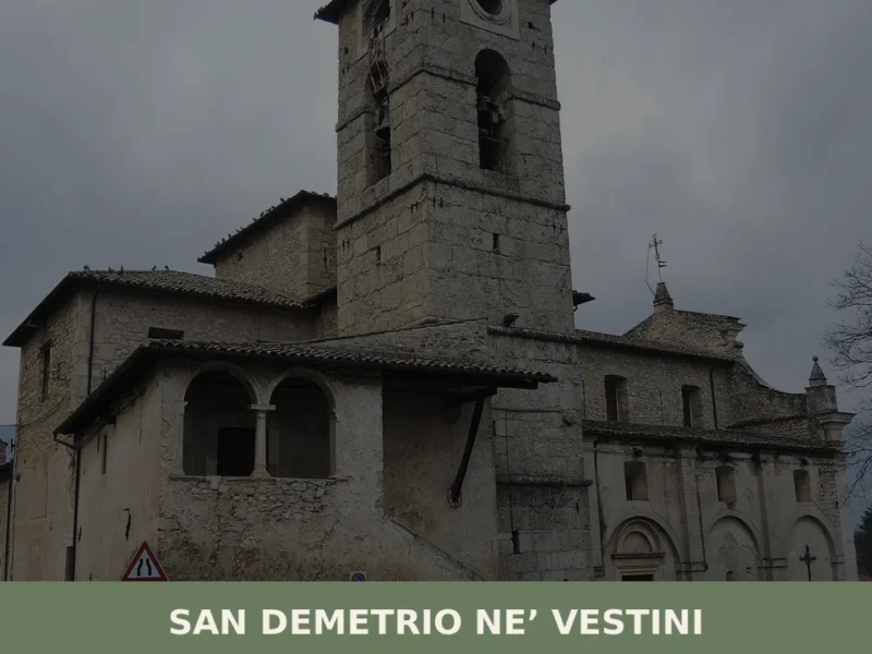
San Demetrio ne’ Vestini
What to see in San Demetrio ne’ Vestini: discover the village, the historic center, and the main church. Plan your visit and unmissable attractions!
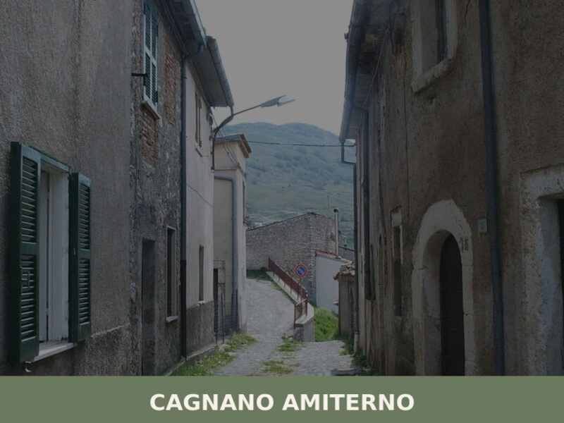
Cagnano Amiterno
Morning light falls flat across the high plateau west of L’Aquila, catching the stone walls of a settlement that has survived earthquakes, depopulation, and the slow erosion of memory. The air carries woodsmoke and the cold mineral scent of mountain water. Cagnano Amiterno, home to just over 1,400 residents, sits in a landscape shaped by […]
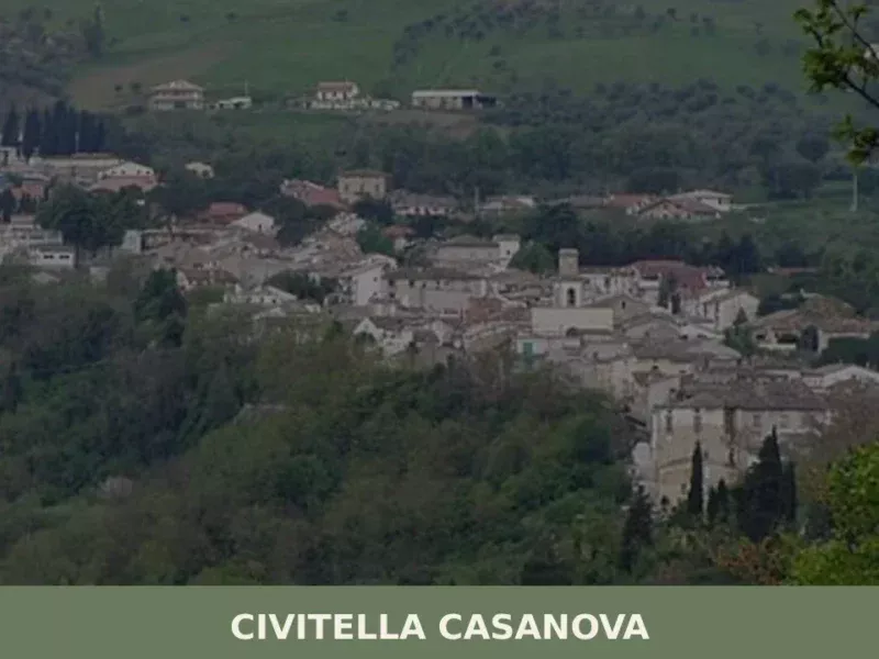
Civitella Casanova
At 400 meters above sea level, in the hilly heart of the province of Pescara, lies Civitella Casanova. This village, whose historical presence is attested since Roman times, offers a territorial context where geology and human activity have shaped a distinctive landscape. For those wondering about what to see in civitella casanova, the journey through […]
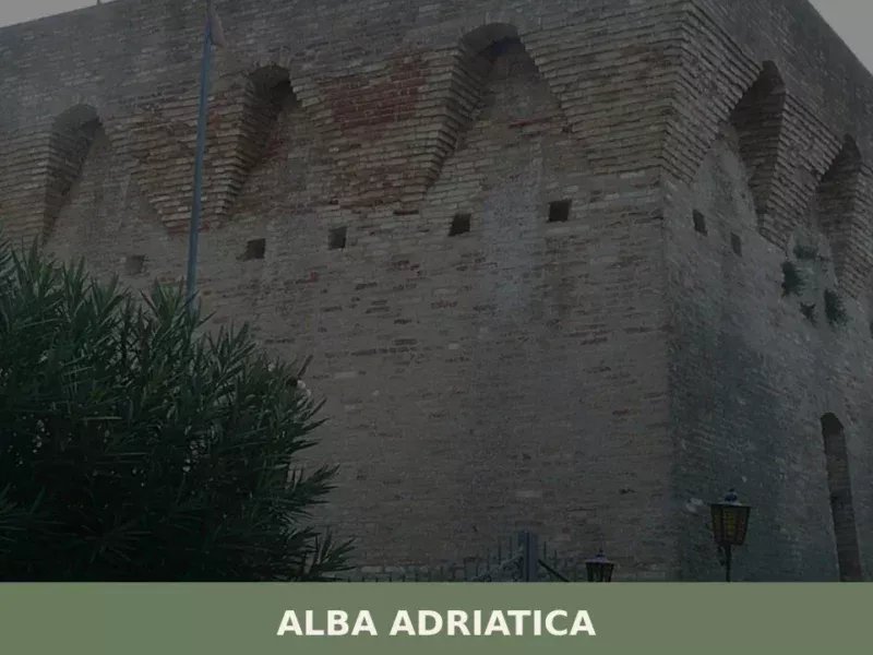
Alba Adriatica
Until 1956, this locality did not exist as an independent municipality: it was a hamlet of Tortoreto, known as Tortoreto Stazione because of the railway stop on the Adriatic line. The administrative separation created a coastal town that today has 12,760 inhabitants spread across a territory sitting just 5 metres above sea level. Understanding what […]
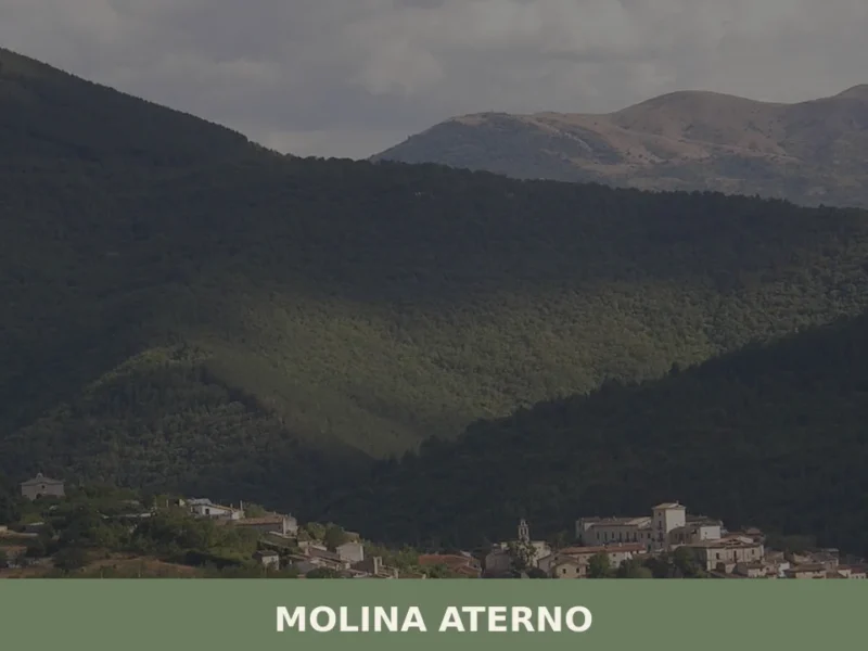
Molina Aterno
What to see in Molina Aterno, Italy: 3 historic monuments, a 12th-century church and a baronial palace. Discover how to get there and when to visit Abruzzo.
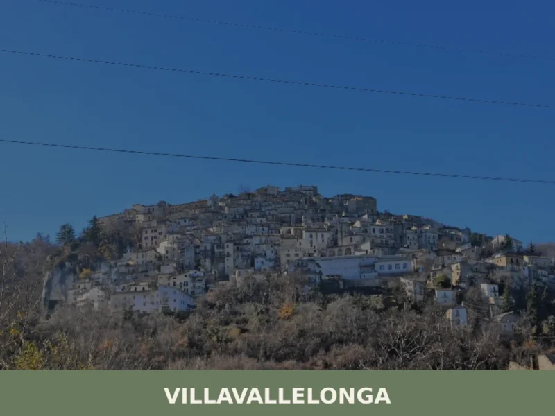
Villavallelonga
What to see in Villavallelonga, Italy: explore the national park, botanical garden and 927-inhabitant village of Abruzzo. Discover top attractions and travel tips.
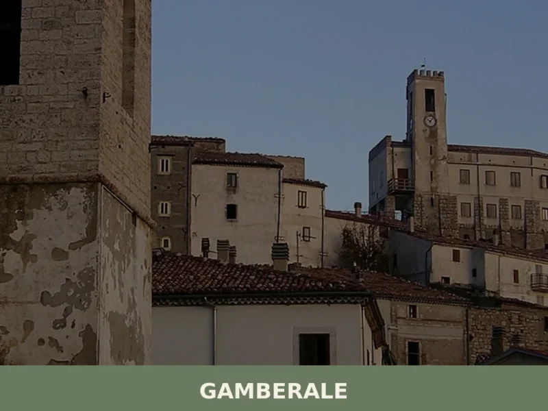
Gamberale
At 1,343 metres above sea level, along the eastern ridge of the Majella mountains where the slopes descend towards the Sangro valleys, 277 residents keep alive a settlement that the catasto onciario of the Kingdom of Naples already recorded in the eighteenth century as a community of shepherds and charcoal burners. Visitors arriving in Gamberale […]
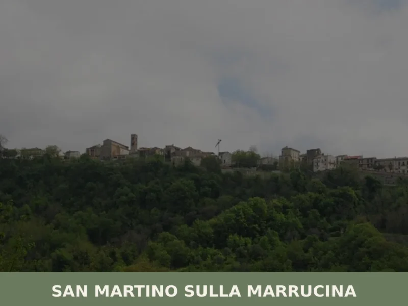
San Martino sulla Marrucina
With its 868 inhabitants, San Martino sulla Marrucina presents itself as a small municipality in the province of Chieti, in the heart of Abruzzo. The village is a reference point for those seeking the tranquility and authenticity of the region’s rural centers, away from the most beaten tourist paths. In this article History and Origins […]


🏡 Know Fossa better than we do?
If you’re a local or have been there, your knowledge matters: add what’s missing or fix a detail on this page.