


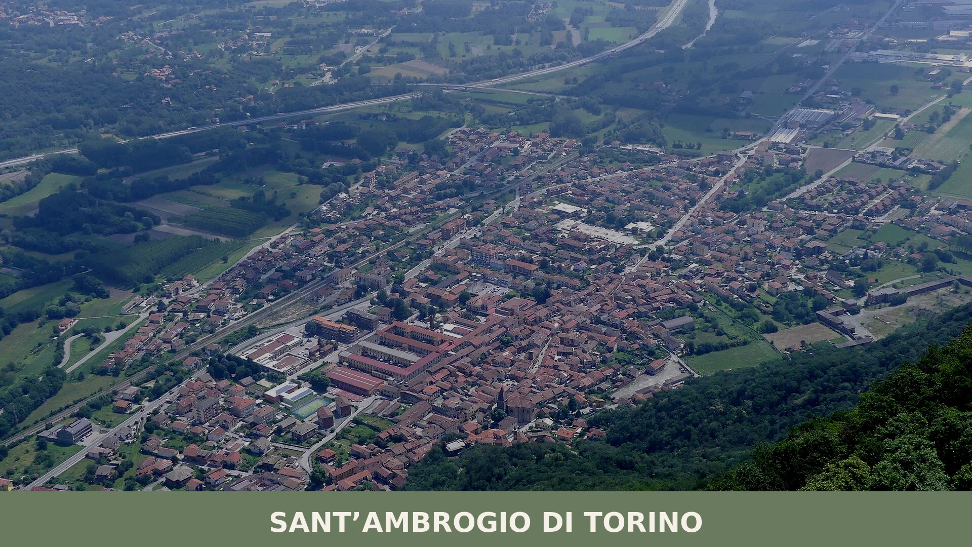
Sant’Ambrogio di Torino
A village of 4,518 inhabitants at the threshold of the Turin foothills. Sant’Ambrogio di Torino stands on two major pilgrimage routes: the Via Francigena and the Cammino di San Michele.
Sant'Ambrogio di Torino in Piedmont: Gateway to Alpine Routes
Sant’Ambrogio di Torino occupies the edge where Turin’s urban sprawl gives way to the foothills of Piedmont. At 356 metres above sea level, the village commands a position between lowland agriculture and the first stone shoulders of the Alps. The air here still holds the warmth of the plains, but the eye can already trace the mountains rising to the west and southwest.
Sant’Ambrogio di Torino village in Piedmont functions as a crossing point on two major European pilgrimage routes: the Via Francigena and the Cammino di San Michele. These ancient pathways connect the village to a centuries-long tradition of movement and spiritual passage, making it more than a residential satellite of the regional capital.
Territory and Setting
The village sits within the Province of Turin, surrounded by other foothills municipalities. Nearby municipalities within the same province include Villar Dora, Caprie, Almese and Chiusa di San Michele. The landscape here transitions from the Po Valley flatlands into the first ascending ridges of the western Alps, a geography that has historically directed traffic and settlement toward the Val di Susa and the mountain passes beyond.
The climate reflects this intermediate position. Winters are moderately cool and often dry; summers warm but tempered by elevation. Rainfall concentrates in spring and autumn, following patterns typical of the Piedmont region. The altitude and proximity to Turin’s urban zone create a balance between accessibility and rural character.
History and Local Identity
Documentary evidence for Sant’Ambrogio di Torino’s early development is sparse. The village exists as part of the broader settlement pattern of the Turin foothills, an area long crossed by traders, pilgrims and armies moving between the Italian plains and the Alpine passes. The village’s name has medieval religious associations, though the precise date of its formal establishment is not clearly recorded.
The presence of the Via Francigena and the Cammino di San Michele confirms that Sant’Ambrogio di Torino lay on routes of considerable importance by the medieval period.
Pilgrimage routes do not simply pass through a landscape—they remake it, creating infrastructure, hospitality and purpose where none existed before.
The Pilgrim Routes
The Via Francigena is one of the principal roads to Rome, historically followed by millions of pilgrims travelling from northern Europe and France. The Cammino di San Michele is another major pilgrimage route in the region.
Today, these routes remain active. Hikers and organised pilgrim groups still traverse the territories around the village, following marked trails that respect the historical alignment. The presence of these routes does not dominate daily village life, but it connects Sant’Ambrogio di Torino to a living tradition of travel on foot that stretches across the continent.
Local Flavours
The province of Turin produces an array of protected foods that anchor Piedmont’s reputation for quality. The Nocciola del Piemonte (Piedmont hazelnut, IGP) and the Marrone della Valle di Susa (chestnuts from the Susa Valley) reflect the region’s hazelnut groves and chestnut woodlands. The Toma Piemontese (DOP), a semi-hard cheese with a delicate flavour, represents the dairy tradition that has sustained the foothills for centuries.
Local tables also feature products from across Piedmont’s protected portfolio: the Bra cheese (DOP), various protected salami, and seasonal fruits and vegetables adapted to the Alpine foothills. These products are not unique to Sant’Ambrogio di Torino, but they define the agricultural identity of the region in which the village is embedded.
Visiting Sant’Ambrogio di Torino
Public transport connects Turin to the foothills communities, though schedules and routes vary by season and direction. If you arrive by car, parking is straightforward in the village centre. The altitude of 356 metres means no mountain roads are required; standard highways and local roads suffice.
Sant’Ambrogio di Torino is visited most easily as part of a broader exploration of the Turin foothills and the Val di Susa. The village itself offers quieter walking and a sense of the transition zone between urban Piedmont and the mountains. Visitors interested in pilgrimage or long-distance walking should come prepared with maps and appropriate footwear; the routes require several hours of hiking to reach neighbouring villages or mountain waypoints.
| Departure | Distance | Travel Time |
|---|---|---|
| Turin (city centre) | East of Turin | By car |
| Avigliana | Approx. 5–6 km east | 15 minutes by car |
| Almese | Approx. 5 km east/southeast | 10 minutes by car |
The best season to visit is late spring through early autumn, when the mountain air is clearest and the passes to higher elevations are fully open. Winter brings occasional snow to the foothills, which can affect road conditions. Summer crowds in the nearby Val di Susa and access routes mean that visiting in shoulder seasons—May or September—offers a quieter experience without compromising weather or accessibility.
Frequently asked questions about Sant’Ambrogio di Torino
What is the best time to visit Sant'Ambrogio di Torino?
Late spring through early autumn offers the most pleasant weather, with warm summers moderated by the village's 356-metre elevation. Winter brings cool, often dry conditions. For spiritual pilgrims, January 22nd marks the feast of San Giovanni Vincenzo, the patron saint, creating a special atmosphere. The transition seasons showcase the foothills landscape beautifully as vegetation changes colour across the Alps' lower slopes.
How do I reach Sant'Ambrogio di Torino from Turin?
Sant'Ambrogio di Torino lies in the foothills northwest of Turin, approximately 25–30 kilometres from the city centre. Access via the Val di Susa direction toward the western Alps. The nearby municipality of Avigliana provides a reference point. For precise distances and current motorway exits (typically via the Turin-Aosta motorway), consult GPS or regional transport portals. Local train connections through the Turin rail network may serve nearby stations.
What pilgrimage routes pass through Sant'Ambrogio di Torino?
Two major European pilgrimage routes cross the village: the Via Francigena, one of Christianity's most ancient pathways to Rome, and the Cammino di San Michele, which honours Saint Michael. These routes have shaped the village's identity for centuries, drawing walkers and spiritual travellers. The village's position on these paths reflects its historical importance as a crossing point between lowland plains and Alpine passages.
What nearby villages and towns should I explore?
Sant'Ambrogio di Torino sits within a cluster of foothills municipalities in Turin Province. Nearby communities include Avigliana, Villar Dora, Caprie, Valgioie, Almese, Chiusa di San Michele, Condove, and Rubiana. Each offers regional character and access to Val di Susa routes and Alpine gateways. The network reflects the area's historical role directing traffic toward mountain passes and the wider western Alps region.
📷 Photo Gallery — Sant’Ambrogio di Torino
In Piedmont More villages to discover

Strambino
6,000 residents, one castle on a hill, and a church whose floor plan mirrors a frog. Strambino offers a layered Canavese identity few visitors expect.

Rivarossa
Population 1,556. A small Piedmont village shaped by monastic settlement, noble conflicts and Swiss-French invasions—home to the Cluniac legacy of Santa Maria Maddalena.
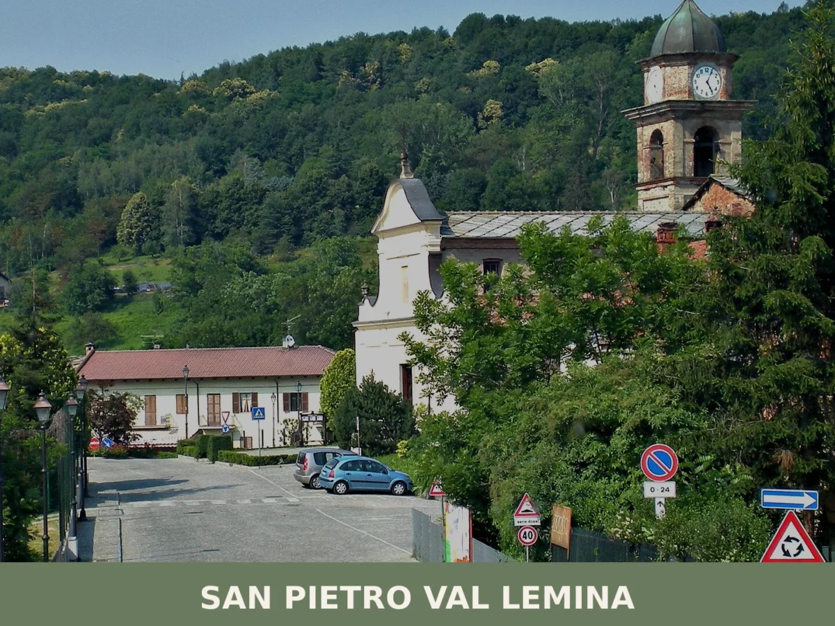
San Pietro Val Lemina
Population 1,447. A small Turin commune where the Lemina torrent shaped settlement and identity, and where a landmark monument honors Piedmontese emigrants worldwide.
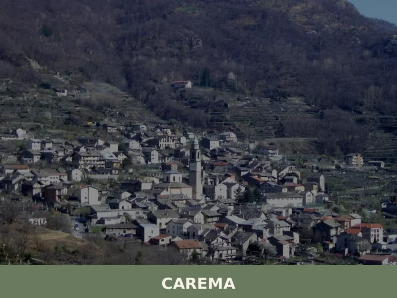
Carema
Scopri Carema borgo medievale: un gioiello del Piemonte tra vigneti storici, torri antiche e tradizioni millenarie. Visita questo angolo unico d'Italia!
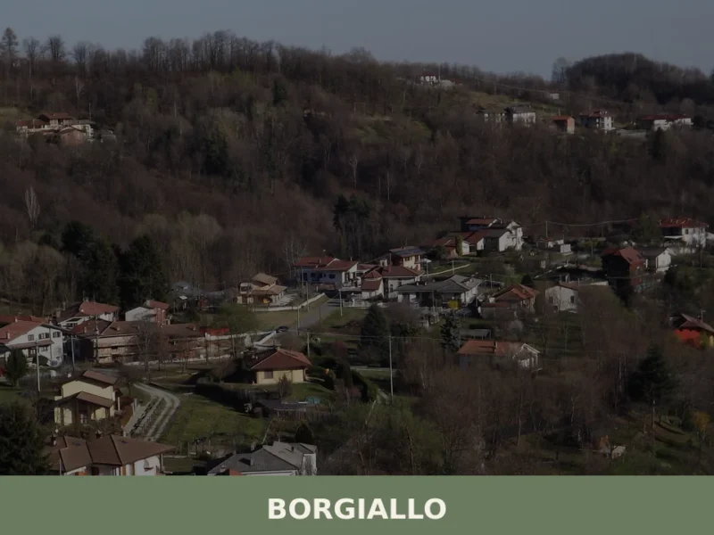
Borgiallo
Borgiallo has 579 inhabitants and sits at 540 metres above sea level on the hills of the Valle Sacra, in the province of Turin. Travellers who take the road climbing from Castellamonte towards the Canavese uplands find a compact settlement of stone and brick houses that follow the line of the ridge. Understanding what to […]
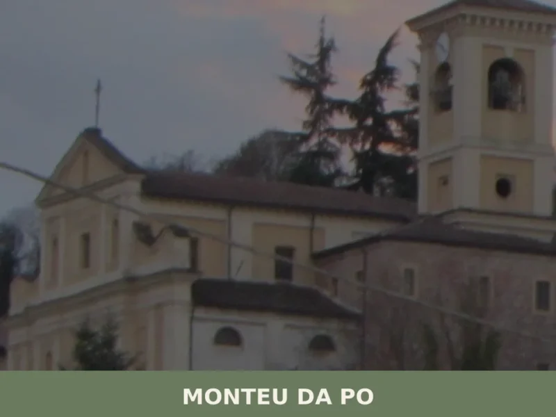
Monteu da Po
Scopri Monteu da Po, affascinante borgo piemontese sulle rive del Po. Storia, natura e tradizioni in un angolo autentico del Piemonte da non perdere.
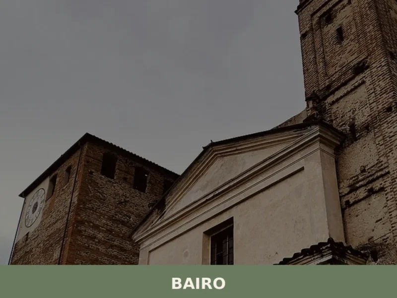
Bairo
The earliest confirmed record of Bairo dates to a document from 1003, when Marquess Arduino of Ivrea — who would shortly become King of Italy — confirmed landholdings in this portion of the Canavese between the moraine ridge and the foothills of the Graian Alps. Today the municipality has 806 inhabitants, spread across the historic […]
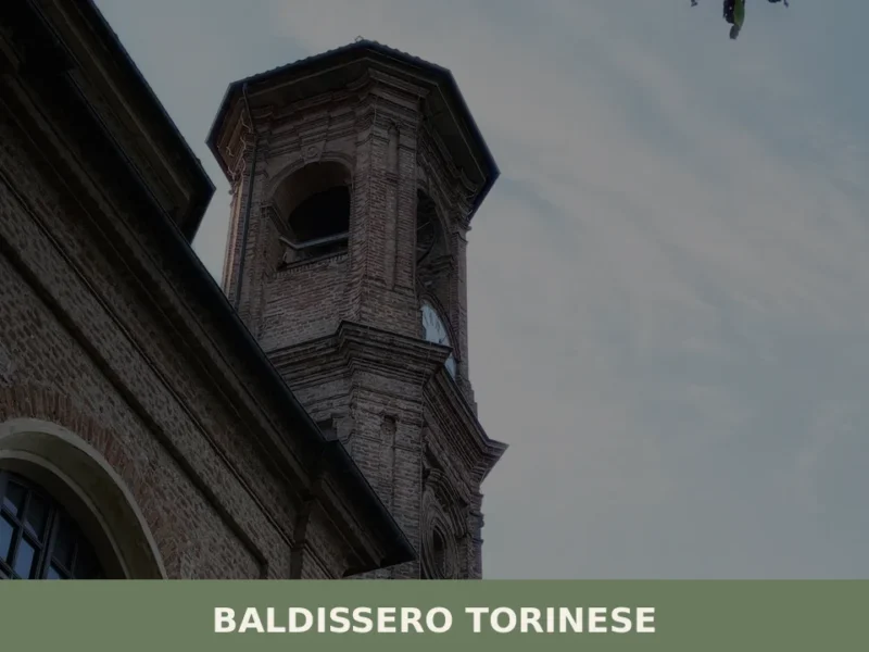
Baldissero Torinese
Baldissero Torinese stands at 421 metres above sea level, on the eastern slope of the Turin hills, less than fifteen kilometres from the Piedmontese regional capital. With a population of 3,789, the municipality belongs to the Metropolitan City of Turin and retains an urban layout that still reflects its historical layers, from the medieval core […]
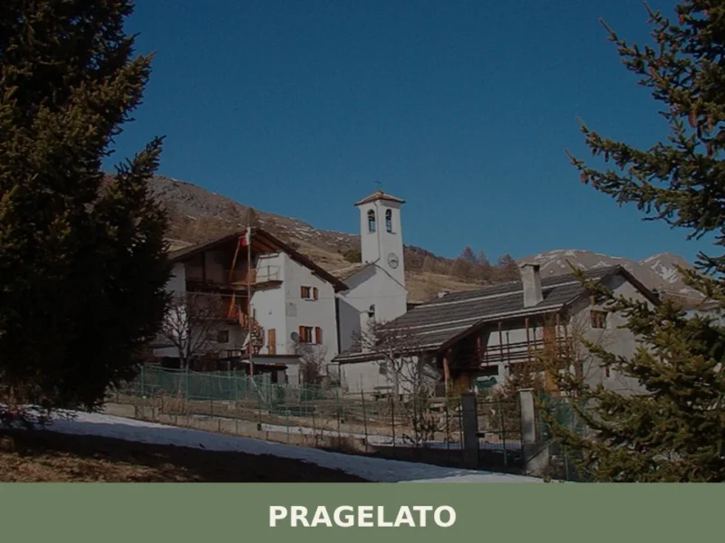
Pragelato
Pragelato sits at around 1,524 metres above sea level in Val Chisone, approximately 82 kilometres west of Turin, and its Occitan name — Pradzalà or Prajalats — translates directly as “frozen meadow”, a reference to the high-altitude pastures that define the landscape here. With a resident population of 692, this is a compact Alpine commune […]

San Raffaele Cimena
3,159 residents. Medieval settlement with Byzantine foundations, now a suburban village anchored by agricultural heritage and an extraordinary microclimate where tropical plants thrive.


🏡 Know Sant’Ambrogio di Torino better than we do?
If you’re a local or have been there, your knowledge matters: add what’s missing or fix a detail on this page.