


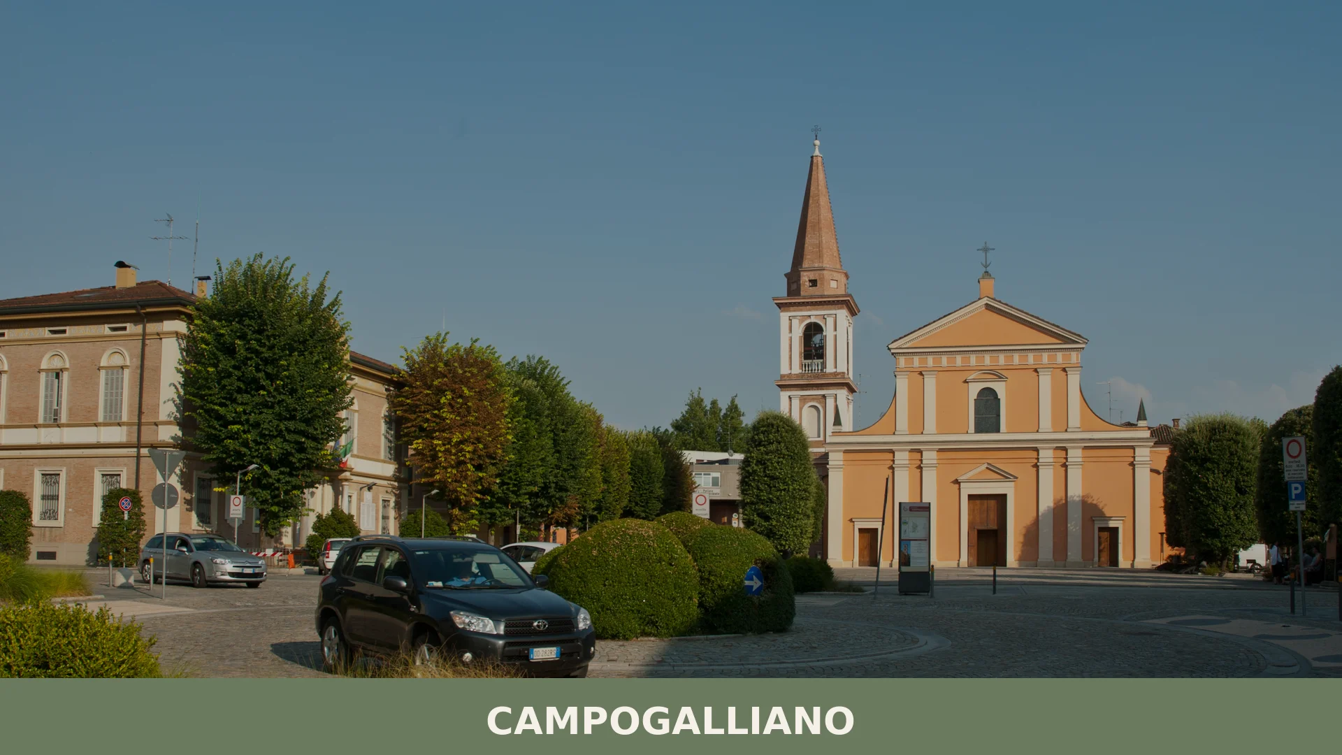
Campogalliano
 Plains
Campogalliano is a comune of roughly 8,500 people in the Province of Modena, renowned across Italy as the city of the weighing scale and home to a museum documenting two thousand years of measurement
Discover Campogalliano
Campogalliano is a comune of roughly 8542 inhabitants situated in the Province of Modena, Emilia-Romagna, at about 43 metres above sea level on the southern edge of the Po Valley, immediately west of Modena, with which it borders, along the corridor where the A1 and A22 motorways converge. Covering approximately 35.19 square kilometres of flat agricultural land beside the river Secchia, the town is widely known across Italy as the “città della bilancia” — the city of the weighing scale — a reputation built on more than a century and a half of precision manufacturing and confirmed by the presence of a unique dedicated museum.
Campogalliano village in Emilia-Romagna draws together a surprisingly varied range of reasons to visit: a sixteenth-century urban core that grew around a now-vanished Este castle, a stretch of protected wetland along the Secchia that shelters migratory birds, and an internationally recognised collection of weighing instruments spanning some two thousand years of history. The town’s identity has been forged through successive layers of time — Celtic settlement, Roman administration, feudal lordship, wartime Resistance and twentieth-century industrial ambition — each of which has left a legible trace in the landscape or the civic memory.
Campogalliano village in Emilia-Romagna: origins, feudal rule and modern growth
Campogalliano traces its origins to the early Gaulish settlements along the Pianura Padana, passed under Roman control as part of the province of Gallia Cisalpina, and developed its first recognisable urban core in the sixteenth century under the Este lords — a trajectory that continued through feudal changes, wartime Resistance and twentieth-century industrial expansion centred on the production of weighing instruments.
The Galli Boi, a Celtic tribe that had settled near the river Secchia, gave the locality its name — an adaptation of “Campo dei Galli”. Roman annexation brought the territory into Gallia Cisalpina, and it remained a relatively minor settlement until around the sixteenth century, when the cadet branch of the Este family known as the Este di San Martino ordered the construction of a fortified residence, the “Castrum”. That structure has since completely disappeared; its site is now occupied by the park known as “Le Montagnole”, where the ground still suggests the outline of a defensive moat. Around the same period, the oratory of San Rocco was built near the castle — it survives today, though no longer consecrated — and the church of Sant’Orsola was raised over an earlier chapel dedicated to the same saint. The Este di San Martino administered Campogalliano from 1501 until the extinction of their line in 1752. In April 1753 the Ducal Chamber of Este transferred the territory by notarial deed to the marchesa Teresa Sfondrati, widow of the last Este prince Carlo Filiberto II, for a three-year term. The arrangement passed in 1756 to her daughter Anna Ricciarda, who had married Prince Alberico Barbiano di Belgiojoso the previous year; the contract was renewed again in 1758 and extended to the end of 1767, after which the territory reverted permanently to the Ducal Chamber.
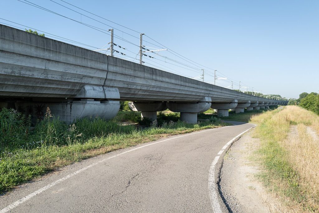
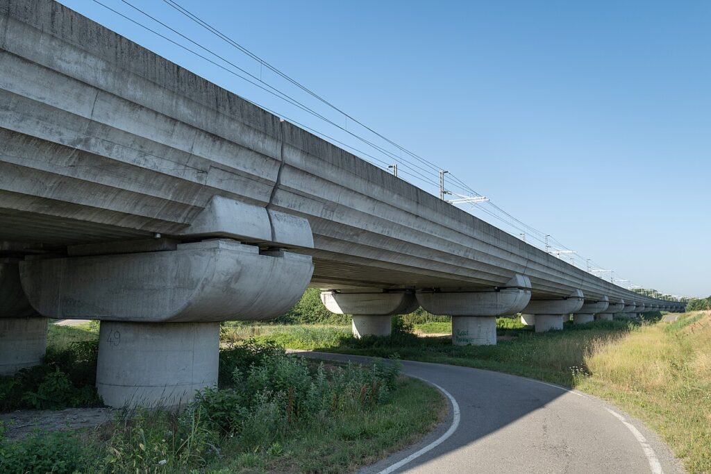
During the Second World War, Campogalliano’s position as a communication route between partisan lines in the mountains and those in the plain gave it a significant role in the Resistance; the fallen are commemorated by a monument created by Ettore de Conciliis. In the 1980s the municipality expanded beyond the oratory of Sant’Orsola and, together with the neighbouring communes of Rubiera and Modena, completed the flood-control basins along the Secchia. In 1987 the Bugatti Automobili S.p.A. factory was built on land adjoining the Brennero motorway, a facility later closed and subsequently reopened for guided visits. The early 2000s brought further change with the construction of the high-speed railway line crossing the municipal territory. Running alongside these developments is a manufacturing tradition rooted in 1860, when Campogalliano began producing weighing scales — an activity that earned it lasting recognition as Italy’s “città della bilancia”.
Scales, Sanctuaries and Nature: the Main Sites of Campogalliano
Campogalliano offers visitors a specialist industrial museum devoted to weighing instruments, two churches, a resistance monument, a former Bugatti factory open to guided tours, and a natural reserve built around the Secchia river’s flood-control basins.
Museo della Bilancia
The Museo della Bilancia is the first museum in Italy dedicated entirely to the history of weighing and measurement, from Roman times to the present day. Its collection runs to more than six thousand objects gathered from across the world — scales, platform balances, steelyards — accompanied by a documentary archive of posters, catalogues, original prints and period photographs. The entrance is marked by a large “iconic wall” installation that introduces the visitor to the theme, after which the display moves through two millennia of measuring history. The museum reflects a tradition rooted in the town itself: Campogalliano has been producing scales since around 1860 and the cooperative COOP Bilanciai was established here in 1949.
Chiesa di Sant’Orsola
The parish church of Sant’Orsola, dedicated to the patron saint of Campogalliano, was built in the sixteenth century on the site of an earlier chapel. It remains the main place of worship in the village.
Oratorio di San Rocco
Also dating from around the sixteenth century, the oratory of San Rocco was constructed as part of the early settlement that grew up around the Este castle. It still stands, though it has been deconsecrated.
Monumento alla Resistenza
During the Second World War Campogalliano played a role in the partisan Resistance movement, lying along a communication route between the mountain and the plain networks. The monument commemorating those who fell in that conflict is the work of sculptor Ettore de Conciliis.
Stabilimento Bugatti Automobili
In 1987 a Bugatti Automobili factory was built on land adjacent to the Brennero motorway. The plant subsequently closed but has more recently been opened to the public as a guided-visit site.
Santuario della Beata Vergine della Sassola
The Santuario della Beata Vergine della Sassola is a religious site in the municipal territory. The sources record its name and location without further architectural or historical detail.
Laghi Curiel and the Secchia Flood-Plain Reserve
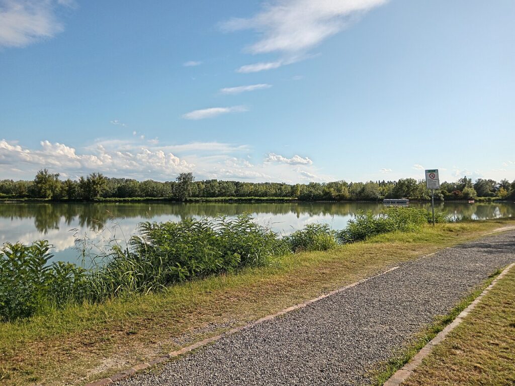
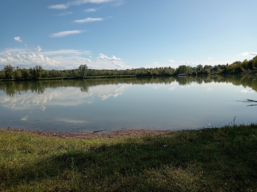
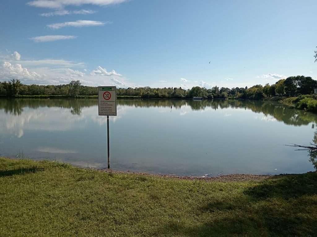
On the natural side, the Laghi Curiel form a protected area within the commune, while the wider riserva naturale della cassa di espansione del fiume Secchia — created in cooperation with the neighbouring municipalities of Rubiera and Modena during the 1980s — borders the Secchia river. Together they provide the principal green and wildlife space accessible from the village.
Flavours of Campogalliano and the Modena Area
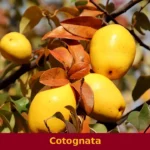
Campogalliano sits within one of Italy’s most celebrated food provinces, where the Modena area produces two distinct protected vinegar traditions — Aceto Balsamico di Modena IGP and the more exclusive Aceto Balsamico Tradizionale di Modena DOP — alongside fruits such as the Ciliegia di Vignola IGP and the tart Amarene Brusche di Modena IGP. These are provincial and regional specialities rather than exclusive products of Campogalliano itself, yet they shape the table of every village in this corner of Emilia-Romagna.
Charcuterie from nearby Parma also reaches local tables, notably Coppa di Parma IGP, while lamb lovers may encounter Agnello del Centro Italia IGP. Among the PAT traditional preparations linked to the broader regional larder, liqueurs made from sloe berries (Bargnolino), anise-based spirits (Anicione, Anisetta), and macerated fruit distillates reflect the deep rural heritage of the Po Plain.
For wine, the territory falls within the orbit of several Modena-area denominations. The most characteristic are the sparkling reds of Lambrusco di Sorbara DOC, Lambrusco Grasparossa DOC and Lambrusco Salamino di Santa Croce DOC, all vinified just across the surrounding countryside. The broader Modena DOC also covers still and sparkling whites from local grapes.
Getting to Campogalliano and Planning Your Visit
Campogalliano is reached most easily by road from Modena — approximately 10 km to the east, about 15 minutes by car — with the A1 Milan–Naples motorway and the A22 Brennero–Modena motorway both crossing the municipal territory and providing swift connections from further afield. Bologna lies roughly 45 km away (approximately 35 minutes), while Parma is around 75 km to the northwest (approximately 50 minutes).
Spring and early autumn are the most comfortable seasons for a visit: temperatures on this stretch of the Po Plain are mild, the light is clear, and the Laghi Curiel nature reserve and the regional reserve of the Secchia river expansion basin reward a leisurely walk. Summer heat can be intense at 43 metres above sea level on the open plain, though the riverside greenery offers some relief. Visitors combining the Museo della Bilancia with an afternoon in Modena will find the proximity ideal for a half-day excursion from the city.
Those who wish to extend their stay into the wider province might head toward the Apennine foothills and the village of Fiumalbo, or cross into the Reggio Emilia plain to visit Bagnolo in Piano, both reachable within an hour. Campogalliano has no railway station of its own, so visitors arriving by train should alight at Modena and continue by local bus or taxi.
| Departure | Distance | Time |
|---|---|---|
| Modena | approx. 10 km | approx. 15 min |
| Bologna | approx. 45 km | approx. 35 min |
| Parma | approx. 65 km | approx. 45 min |
| Reggio Emilia | approx. 25 km | approx. 25 min |
These practical references help organise the journey clearly, while the village itself is best understood slowly and on foot once you arrive.
Frequently asked questions about Campogalliano
How do I reach Campogalliano by car from Modena?
Campogalliano is located approximately 10 kilometres west of Modena along the A1 and A22 motorway corridor. Take the A1 or A22 towards Bologna or Brennero respectively; both motorways converge near the town. Exit at the Modena-area junctions and follow regional roads towards Campogalliano. The journey from central Modena typically takes 15–20 minutes depending on traffic.
When should I visit Campogalliano?
Campogalliano's patron saint, Sant'Orsola, is celebrated on 21 October, making this an excellent time to experience local traditions and festivities. Spring (April–May) and autumn (September–October) offer mild weather ideal for exploring the flat Po Valley landscape and visiting outdoor wetland areas. Summer can be warm; winter is cool but accessible year-round.
What is Campogalliano famous for?
Campogalliano is widely known across Italy as the 'città della bilancia' — the city of the weighing scale. This reputation stems from over 150 years of precision manufacturing in this sector. The town hosts a unique dedicated museum featuring an internationally recognised collection of weighing instruments spanning approximately two thousand years of history.
What natural attractions are near Campogalliano?
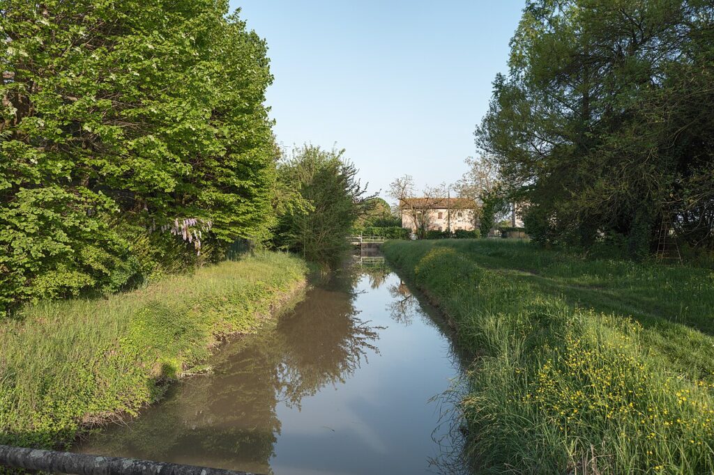
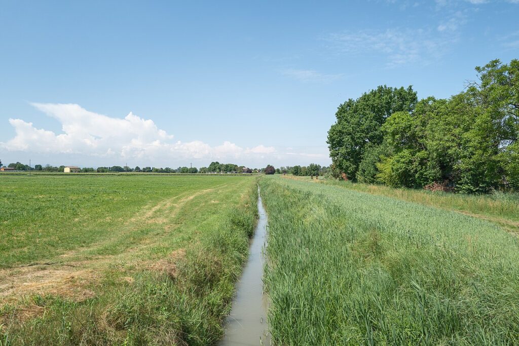
Along the Secchia river, visitors can explore a protected wetland area that shelters migratory birds, offering excellent opportunities for birdwatching and nature photography. The landscape consists of flat agricultural plains typical of the Po Valley. These natural zones provide peaceful outdoor access without requiring extensive hiking.
How long should I plan to spend in Campogalliano?
A half-day visit suits most itineraries, allowing time to explore the sixteenth-century urban core (which grew around a former Este castle), visit the weighing-scale museum, and enjoy the town centre. A full day enables leisurely exploration of both heritage sites and wetland areas along the Secchia, plus dining in local restaurants.
📷 Photo Gallery — Campogalliano
In Emilia-Romagna More villages to discover

Sorbolo
Plains
Sorbolo offers 3,000 years of history from Bronze Age terramare to Farnese noble palaces. Visit for Roman centuriation, a Serassi organ and authentic Po Valley cuisine.
Albinea
Plains
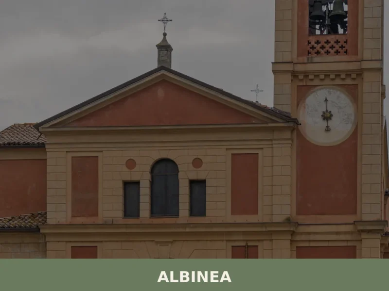
What to see in Albinea, Italy: explore 8,882 inhabitants, medieval history since 980 AD, Apennine foothills landscape and local food. Discover the full guide.
Castell’Arquato
 Hills
Hills
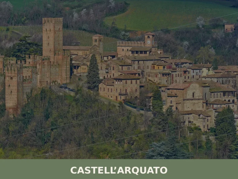
In the upper Val d’Arda valley, at around 150 metres above sea level, Castell’Arquato is one of the best-preserved medieval villages in the province of Piacenza. In this article History and Origins of Castell'Arquato What to See in Castell'Arquato: Main Attractions Local Cuisine and Products of Castell'Arquato Festivals, Events and Traditions of Castell'Arquato When to […]
Coli
 Mountain
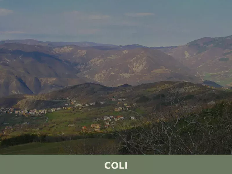
A documentary-style guide to Coli in the Trebbia valley. History, attractions, local food, and practical tips for visiting this Piacenza Apennine village.
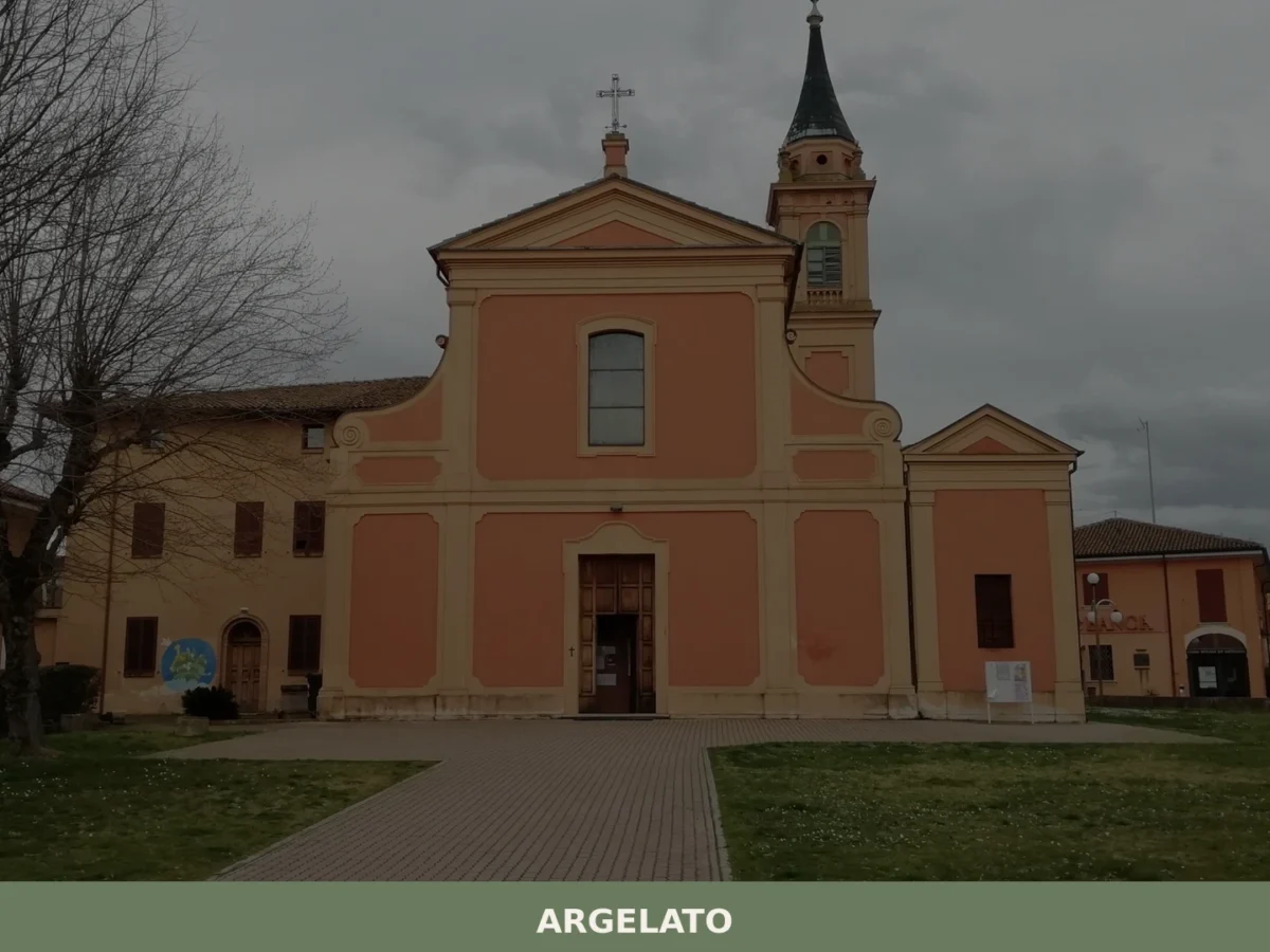
Argelato
Plains
What to see in Argelato? Explore the 5 main attractions of this Emilian village. Our complete guide awaits for your trip. Read now!
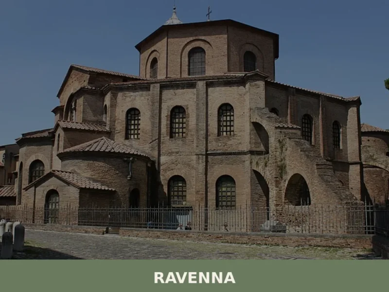
Ravenna
 Sea
Sea
With a population of 155,751 inhabitants and located just 4 m above sea level, Ravenna stands out as one of Emilia-Romagna’s most significant centers, a historical crossroads that has shaped the region’s identity. In this article History and origins of Ravenna What to see in Ravenna: main attractions Typical cuisine and products of Ravenna Festivals, […]
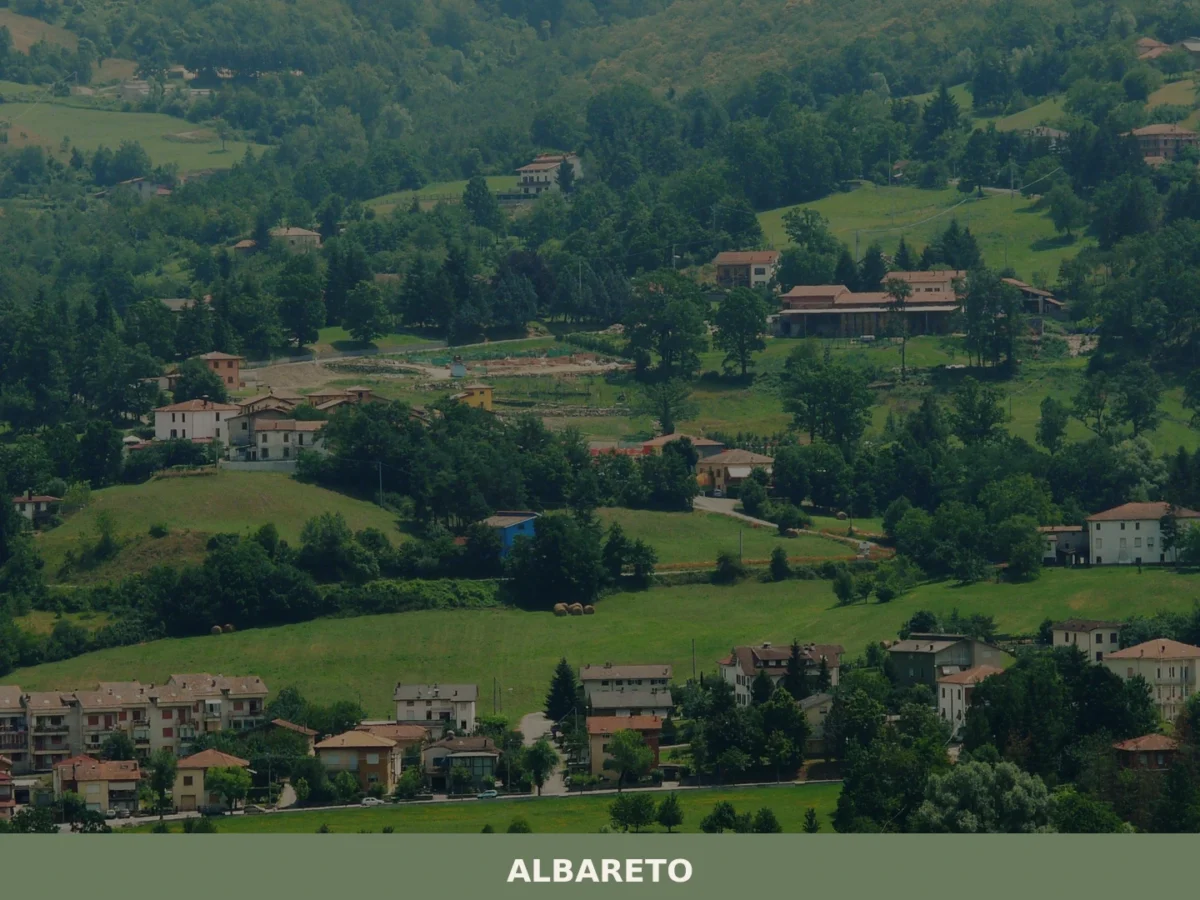
Albareto
Hills
What to see in Albareto? Explore 5 must-see attractions and the most charming spots in this Emilia-Romagna village. Plan your visit!
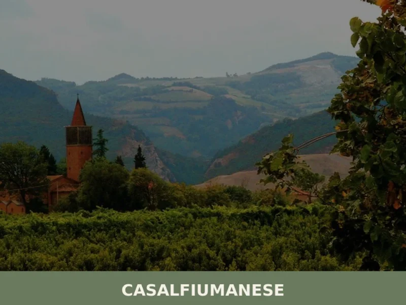
Casalfiumanese
Plains
About twenty kilometres from Imola, along the valley of the Sillaro stream, the municipal territory of Casalfiumanese stretches between the lower plain and the first hills of the Bolognese Apennines, covering an elevation range from 50 to nearly 500 metres above sea level. The main town, sitting at 125 metres above sea level, has approximately […]
Castel Guelfo di Bologna
Plains
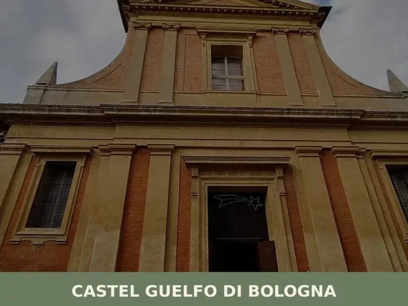
In 1388, the Council of the Six Hundred in Bologna ordered the construction of a fortress on the plain southeast of the city, along the road leading towards Romagna. That military outpost, built to defend the borders of the contado from the ambitions of the Visconti, took its name from the Guelph faction that governed […]
Campegine
Plains
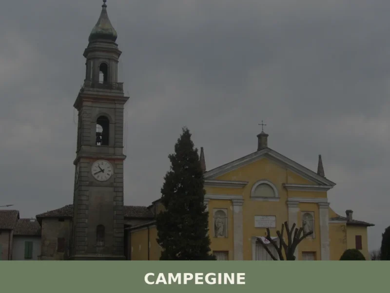
What to see in Campegine, Emilia-Romagna, Italy: explore the hometown of the Cervi Brothers, local food traditions and festivals. Population 5,078. Discover now.



🏡 Know Campogalliano better than we do?
If you’re a local or have been there, your knowledge matters: add what’s missing or fix a detail on this page.