


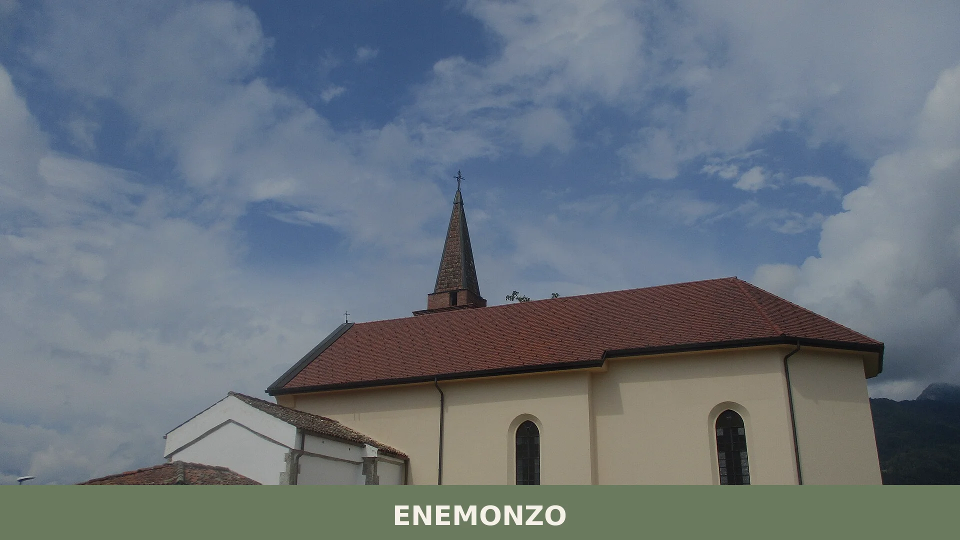

Enemonzo is a mountain comune of about 1,240 inhabitants in the Carnia district of Friuli-Venezia Giulia, set where the Tagliamento and the Degano meet at roughly 400 metres above sea level.
Discover Enemonzo
Enemonzo is a mountain comune of about 1240 inhabitants situated at roughly 394 metres above sea level in the Carnia area of Friuli-Venezia Giulia, approximately 12 kilometres from the Carnian capital Tolmezzo. It occupies a valley shaped by the confluence of the Tagliamento river and the Degano torrent, with the peaks of Monte Lovinzola and Monte Colgentile rising on either side and a scattering of hamlets — among them Fresis, Colza, Maiaso, Quinis and Esemon di Sotto — spread across its 23.7 square kilometres.
Human presence here reaches back well before any written record: a polished stone axe found on the hill of San Rocco and a bronze axe unearthed near Esemon di Sotto, together with Roman-era remains, testify to centuries of settled life in this Carnian valley. That layered past — Roman province, medieval patriarchate, Venetian dominion, Habsburg rule, and finally reunification with Italy in 1866 — gives Enemonzo village in Friuli-Venezia Giulia a historical depth that quietly colours every corner of its landscape, from the arcipretale pieve dedicated to Saints Hilary and Tazian to the wooded slopes that shelter the Parco Intercomunale delle Colline Carniche.
Enemonzo village in Friuli-Venezia Giulia: history and origins
Enemonzo is a settlement of ancient Carnian roots, documented by the discovery of a polished stone axe on the hill of San Rocco, a bronze axe near the hamlet of Esemon di Sotto, and various remains from the Roman era, all pointing to continuous human presence long before the village’s first written mention, around the year 1000, under the name Enemum. Following the Roman subjugation of the Galli Carni around 35 B.C., the territory was incorporated into the X Regio Venetiae et Histriae.
From 1017 to 1420 Enemonzo formed part of the Patriarchate of Aquileia, a period generally regarded as the most flourishing of its early history. When the Patriarchate fell in 1420, the village passed under Venetian rule, remaining so until the Treaty of Campoformio in 1797, which transferred the whole of Venetia — then including Friuli — to the Habsburg Empire. Italy recovered the territory in 1866.
Churches, Chapels and a Cave: the Built Heritage of Enemonzo and Its Fractions
Enemonzo and its surrounding fractions hold several religious buildings — a pieve arcipretale, three parish churches, a roadside chapel, and a cave site of local note — spread across the main settlement and the villages of Colza, Maiaso, Fresis and Esemon di Sotto.
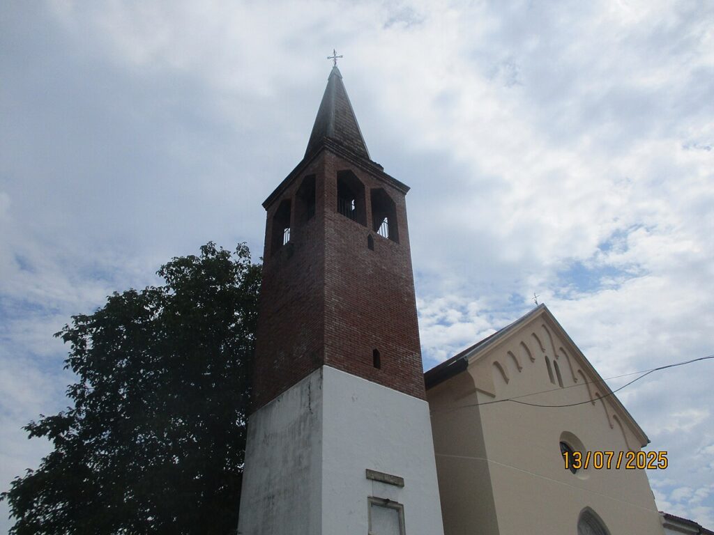
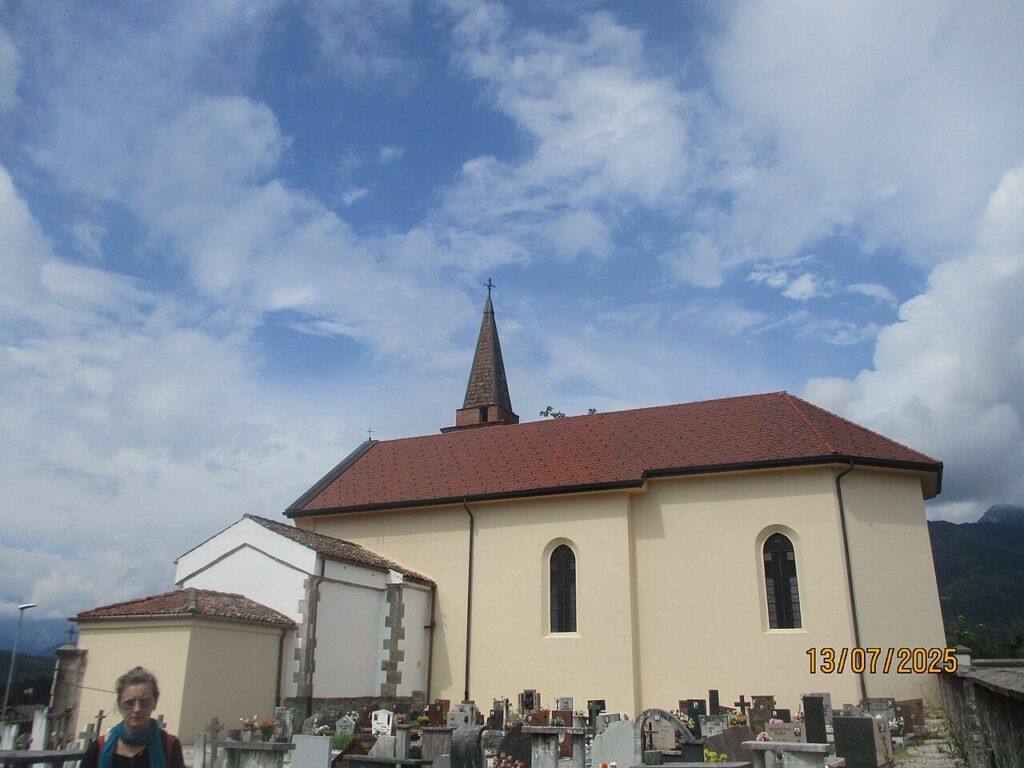
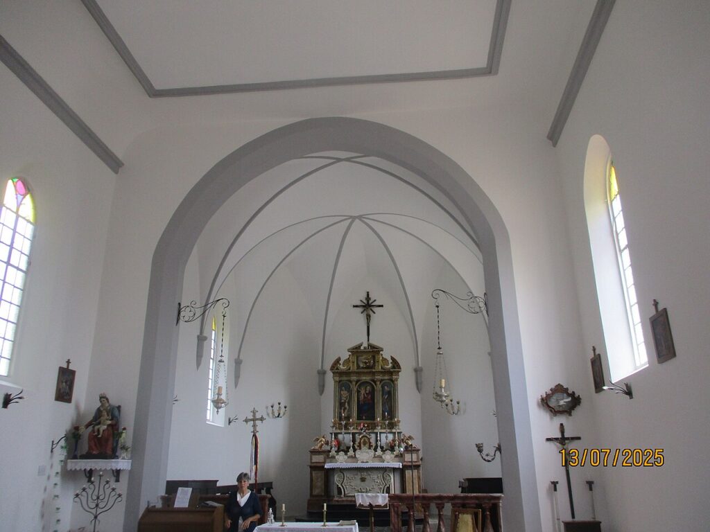
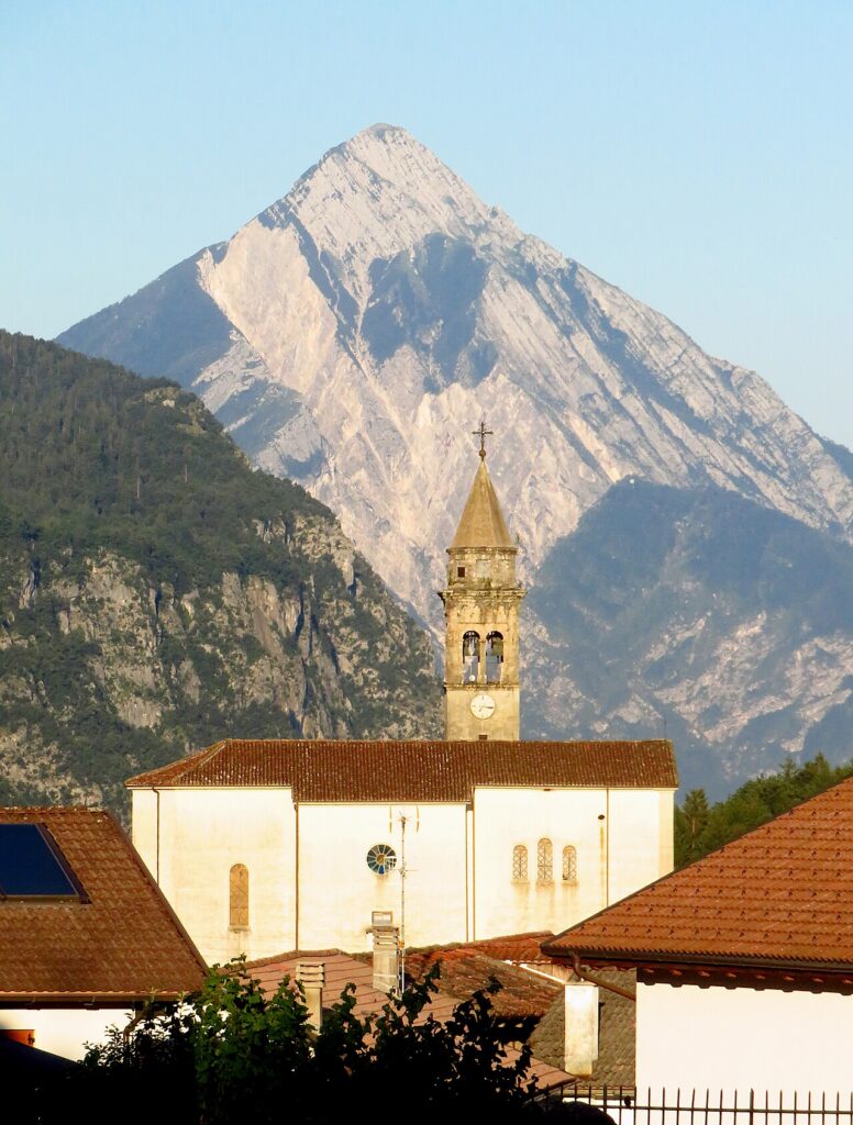
Pieve Arcipretale dei Santi Ilario e Taziano
The principal church of the municipality stands in the centre of Enemonzo. It carries the title of pieve arcipretale, indicating its historic role as the mother church of the local area.
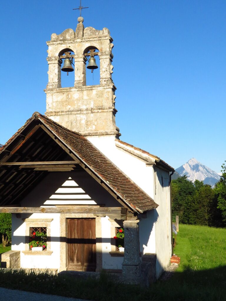
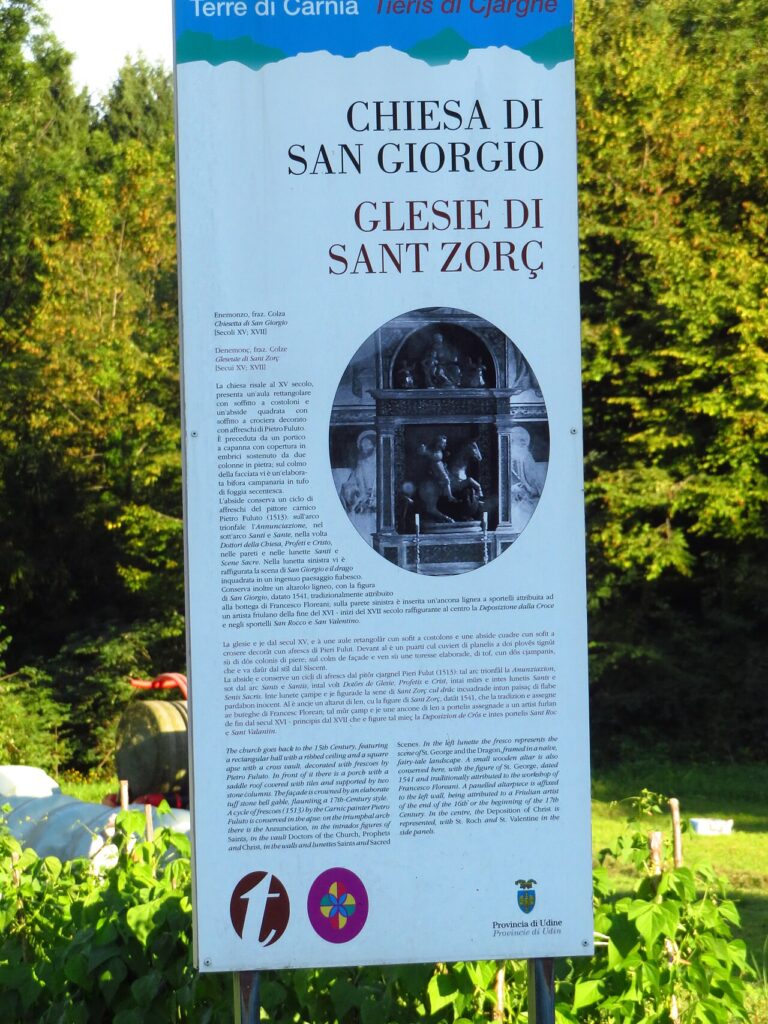
Church of San Giorgio, Colza
Located in the fraction of Colza, this church is dedicated to Saint George. A published account of its restoration exists among the local bibliography.
Church of San Nicolò, Maiaso
A single church dedicated to Saint Nicholas stands in the fraction of Maiaso.
Church of Santa Giuliana, Fresis
The fraction of Fresis is home to a church dedicated to Saint Giuliana.
Chiesetta di San Rocco
This small chapel occupies a hilltop position from which it overlooks the confluence of the Rio Esemon and the Tagliamento river.
Grotta dei Pagani
Near Maiaso lies the Grotta dei Pagani, a cave recorded among the points of local interest.
Flavours of Enemonzo and the Carnic Hills
Enemonzo sits within a Friulian territory known for several certified products, including two DOP aged cheeses and cured meats that have earned protected status across the wider region. The most prominent is Montasio DOP, the firm mountain cheese produced throughout Friuli-Venezia Giulia, alongside Prosciutto di Sauris IGP, cured in the Carnic valleys not far from Enemonzo itself. Brovada DOP — turnips fermented under marc — and Salamini italiani alla cacciatora DOP round out the charcuterie and preserved-vegetable traditions of the province.
The surrounding Carnic territory also produces a range of artisan items listed among Italy’s traditional agri-food products: fruit syrups made from elderflower, dandelion, buckthorn and wild berries, together with apple juice, pear distillate and most — a cooked grape must. These are products of the mountain valleys rather than of Enemonzo’s kitchens alone, but they reflect the foraging and orchard culture of the area. For wine, the closest denominations of note are Friuli Grave DOC and Friuli Colli Orientali DOC, produced in the plains and hills to the south of the Carnic range.
Planning your visit and getting there
Enemonzo can be reached easily from the lower Val Pellice and the Turin area. The practical distances and journey times below are kept concise on purpose, so the access information stays clear and consistent.
| Departure | Distance | Time |
|---|---|---|
| Tolmezzo | approx. 12 km | approx. 15 min |
| Udine | approx. 70 km | approx. 55 min |
These practical reference points are enough to plan the journey without overloading the text with unstable logistics. Once on site, the village is best understood slowly, on foot and in relation to the surrounding landscape.
Frequently asked questions about Enemonzo
When is the best time to visit Enemonzo?
Enemonzo is ideal for mountain tourism year-round. Spring and summer offer excellent hiking conditions in the Carnic Hills. March 16 marks the feast of Saints Hilary and Tazian, the village's patrons, with traditional celebrations. Autumn brings pleasant weather and fewer crowds. Winter suits those seeking snow sports and quiet mountain landscapes. The elevation at 394 metres ensures milder conditions than higher Alpine areas.
What are the main archaeological finds in Enemonzo?
Enemonzo's archaeological heritage includes a polished stone axe discovered on San Rocco hill and a bronze axe found near Esemon di Sotto, evidencing prehistoric settlement. Roman-era remains further testify to continuous habitation throughout antiquity. These artefacts demonstrate that human presence in this Carnian valley predates written records, reflecting millennia of occupation before medieval and Venetian periods.
How far is Enemonzo from Tolmezzo?
Enemonzo lies approximately 12 kilometres from Tolmezzo, the capital of Carnia. The drive takes roughly 20–25 minutes by car via local mountain roads. Tolmezzo is the nearest significant town offering larger services, shops, and transport connections. The scenic drive through the Carnian valley showcases the region's dramatic landscape and traditional Alpine architecture.
What geographical features define Enemonzo's landscape?
Enemonzo occupies a valley shaped by the confluence of the Tagliamento river and the Degano torrent. Monte Lovinzola and Monte Colgentile rise on either side, framing the settlement. The municipality spans 23.7 square kilometres and includes several hamlets: Fresis, Colza, Maiaso, Quinis, and Esemon di Sotto. Wooded slopes shelter the Parco Intercomunale delle Colline Carniche, offering outdoor recreation.
What is the main religious monument in Enemonzo?
The arcipretale pieve (parish church) dedicated to Saints Hilary and Tazian serves as Enemonzo's principal religious monument. The church reflects the village's deep historical layers, from medieval times through Venetian and Habsburg periods. It remains the focal point of community life and hosts the annual patronal feast on March 16, celebrating the village's spiritual heritage and traditions.
📷 Photo Gallery — Enemonzo
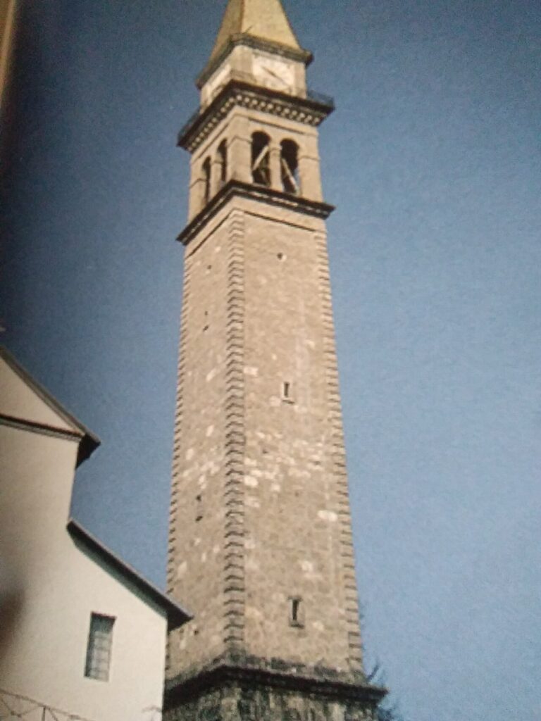
In Friuli-Venezia Giulia More villages to discover
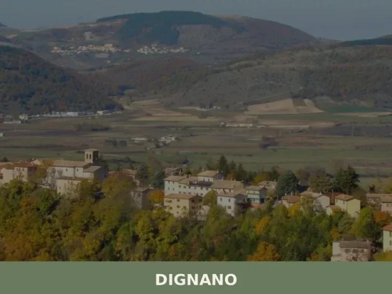
Dignano
 Plains
In the cadastral register of 1296, the name Dignano appears among the possessions of the Patriarchate of Aquileia, a rural community closely tied to ecclesiastical control and cereal production on the Friulian plain. Today the municipality has approximately 2,380 inhabitants spread across the main centre and several hamlets, in a flat territory northwest of Udine […]
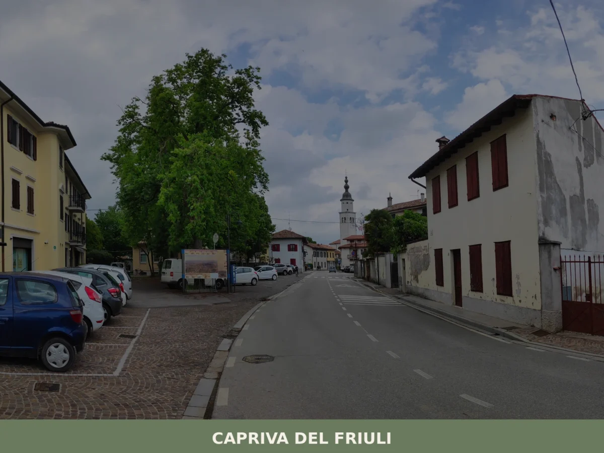
Capriva del Friuli
Plains
What to see in Capriva del Friuli: 5 must-visit attractions including wineries, historic villas and the Collio hills. Discover the complete guide to plan your visit.
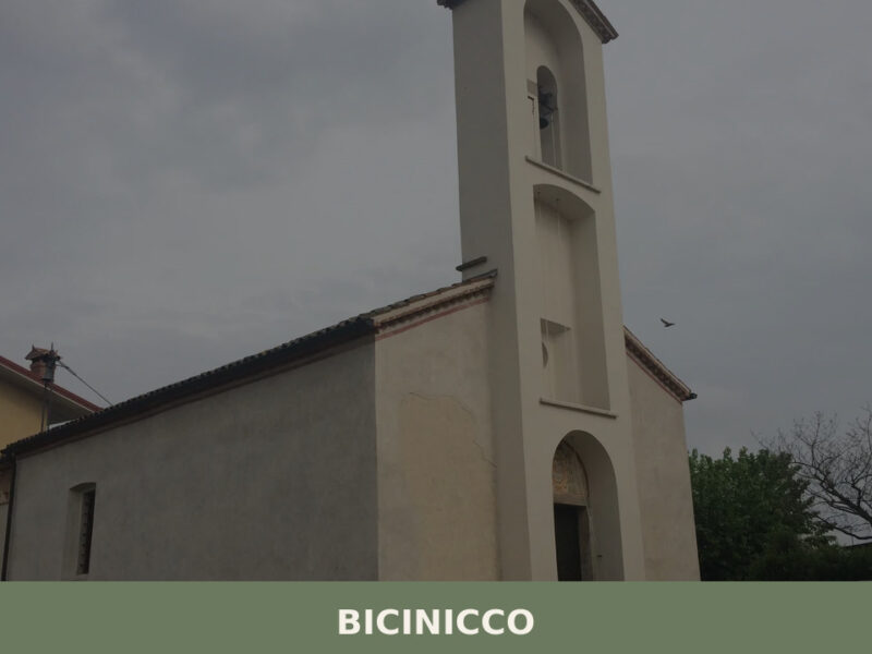
Bicinicco
Plains
A commune of 1,801 inhabitants on the Friulian plain south of Udine. Discover the churches, hamlets, and agricultural landscape of Bicinicco.
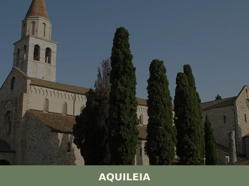
Aquileia
Plains
What to see in Aquileia: early Christian basilica, UNESCO mosaics, Roman forum, archaeological museum. Guide with history, cuisine and how to get there.
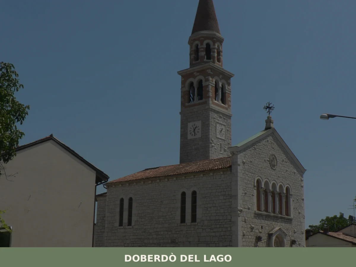
Doberdò del Lago
Plains
What to see in Doberdò del Lago, Italy, a village with 1,340 inhabitants. Discover the unique Karst Plateau and explore significant WWI sites. Plan your visit to Friuli-Venezia Giulia.
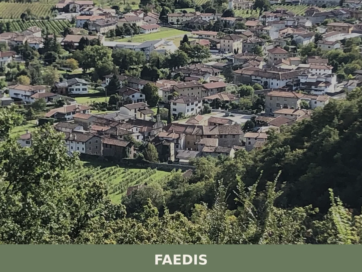
Faedis
 Hills
Hills
Faedis is a municipality of 2,765 inhabitants in the province of Udine, set at the foot of the Julian Prealps where the Grivò valley meets the plain, roughly 15 km north-east of Udine.
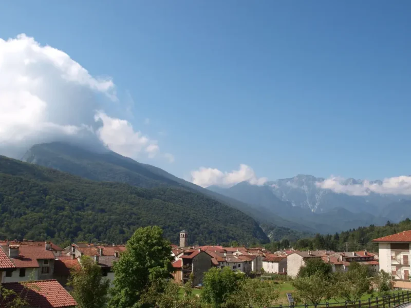
Andreis
 Mountain
What to see in Andreis, a village of 242 residents in the Friulian Dolomites Park: attractions, local food, how to get there and when to visit.
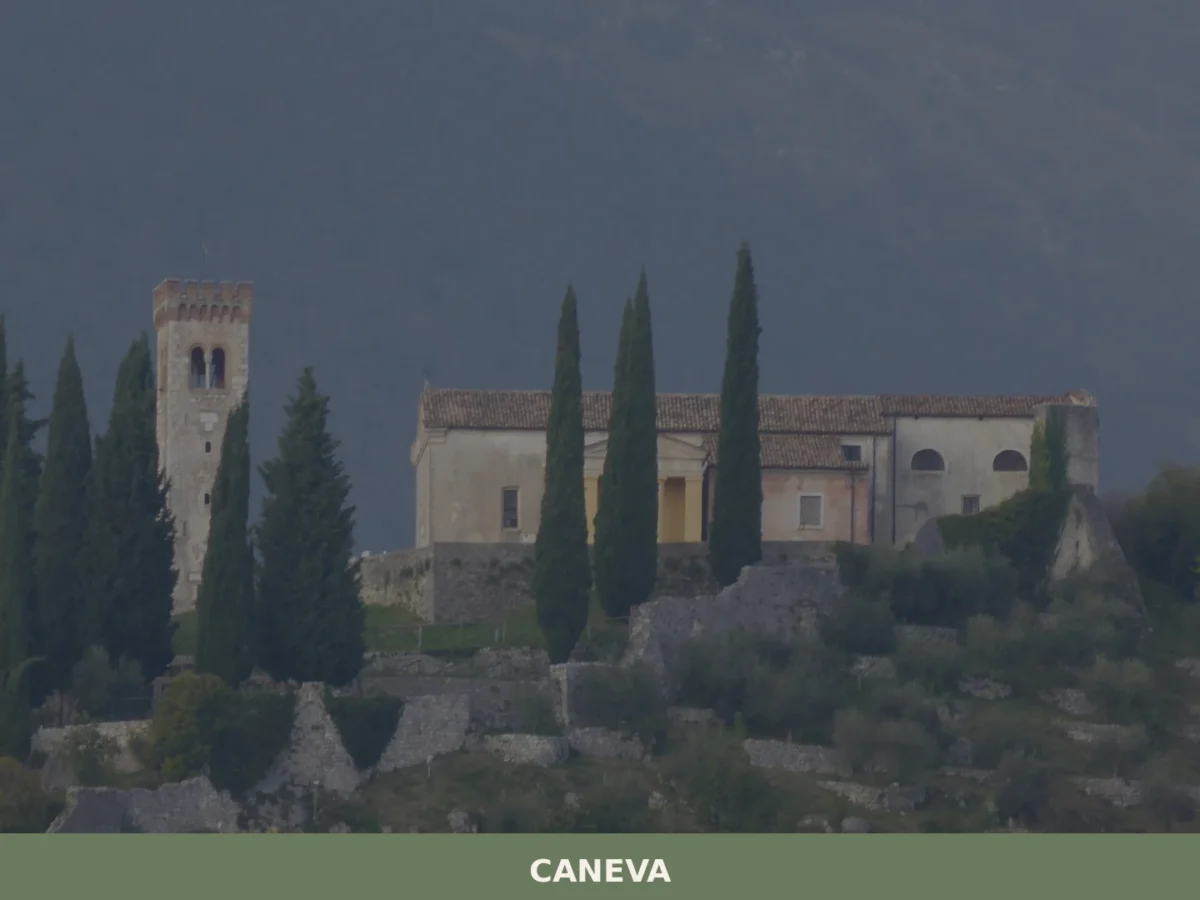
Caneva
Plains
What to see in Caneva, Italy: explore a 42 km² comune near Pordenone. Discover top attractions, local food and travel tips. Read the complete guide.
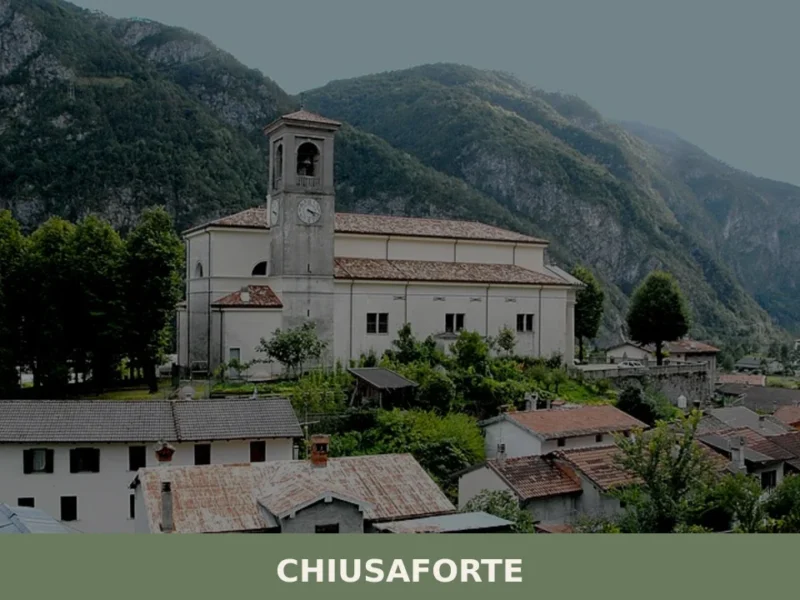
Chiusaforte
Hills
Anyone travelling along the A23 motorway towards the Austrian border will notice, quite suddenly, the Fella valley narrowing between sheer rock walls. Right at that point stands Chiusaforte, a settlement of 684 inhabitants at 391 metres above sea level, whose name — from “chiusa forte,” meaning “strong barrier” — declares without ambiguity the military and […]
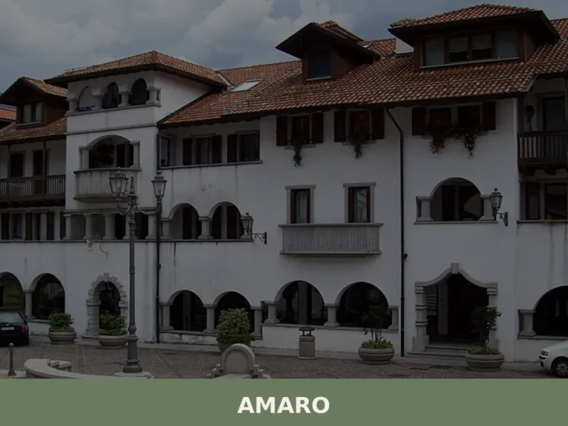
Amaro
Hills
Amaro is a quiet mountain village at the entrance to Carnia in the province of Udine, where Friuli's Alpine landscape begins in earnest.





🏡 Know Enemonzo better than we do?
If you’re a local or have been there, your knowledge matters: add what’s missing or fix a detail on this page.