


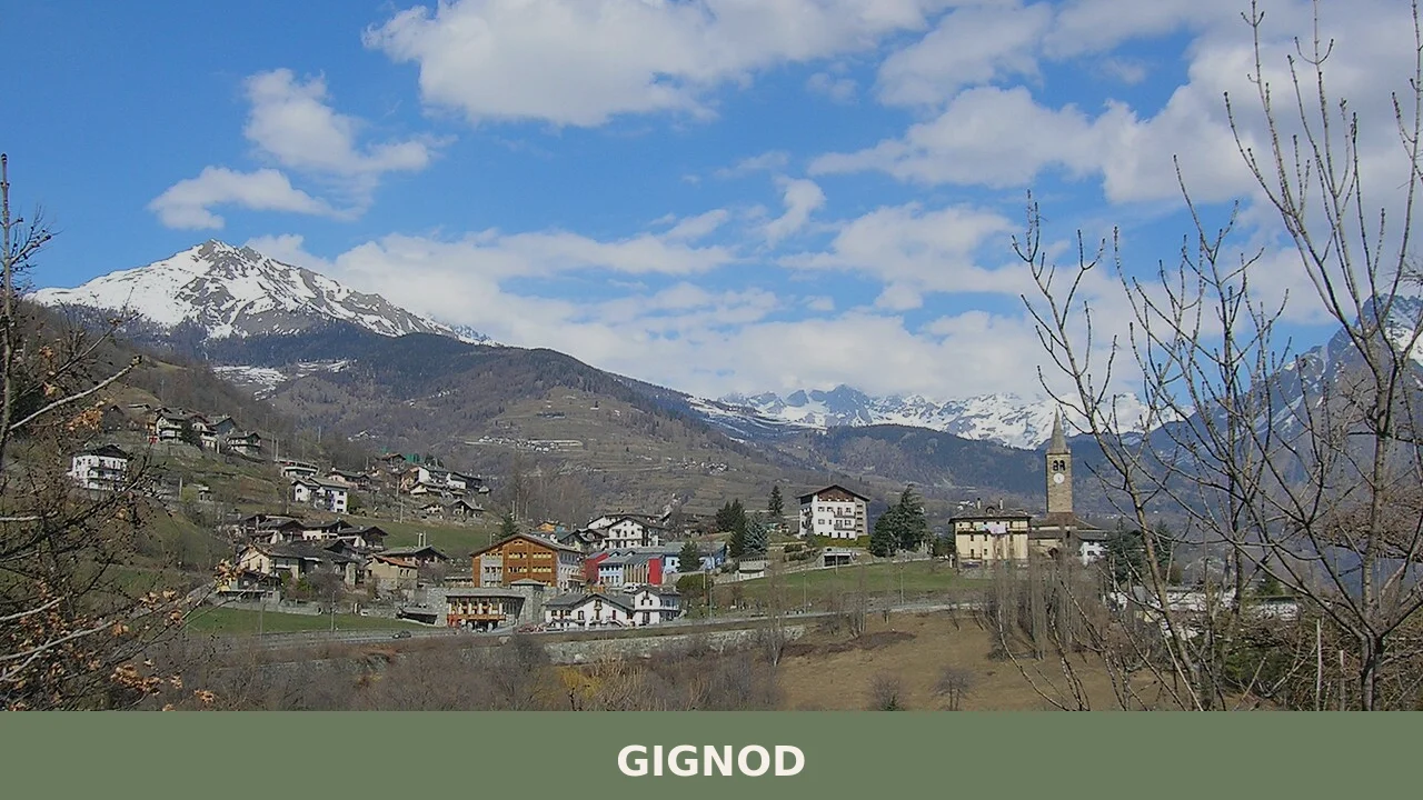

Gignod is a mountain comune in the Aosta Valley, lying at 944 metres between the Valpelline and the Valle del Gran San Bernardo, with a history stretching from prehistoric settlement to a living calen
Discover Gignod
Gignod is a mountain comune in the Aosta Valley, situated at 988 metres above sea level and covering roughly 25.96 square kilometres, with a population of around 1,695. It lies between two lateral valleys branching off the main Valle d’Aosta — the Valpelline, known locally as the Combe Froide or “cold valley,” and the Valle del Gran San Bernardo — placing it at a natural crossroads that has drawn travellers and settlers from antiquity onward. Approximately 8 kilometres from Aosta (around 15 minutes by road) and about 115 kilometres from Turin (roughly 1 hour 20 minutes), it is readily accessible yet retains the unhurried character of a small Alpine community.
Gignod village in Aosta Valley: history and origins
Gignod has been a place of human settlement since prehistoric times, passed through as a Roman consular route, governed by a succession of noble families across the medieval centuries, and was eventually consolidated into a Savoyard barony in 1584 — a layered past stretching from fragments of ancient pottery to the formal grant of civic arms as recently as 1993.
Archaeological finds point to habitation in the area from the protoshistoric period. During the Roman era, the road known as the via delle Gallie — the consular highway ordered by Augustus to link the Po Plain with Gaul — ran through the territory. The depth of Roman-era activity is confirmed by two significant twentieth-century discoveries: a hoard of around 600 imperial coins dating to approximately the second half of the third century AD, and at Roinçod de ça a slab-lined tomb enclosing the remains of two individuals together with a vessel in soapstone, attributed to the final phase of the empire.
Two episodes left a particular mark on local memory. In May 1800 Napoleonic troops passed through, spreading fear among the population — an event the valley communities later processed through the colourful carnival tradition of the Landzette masks. Earlier, a severe outbreak of plague in the seventeenth century decimated the inhabitants; the survivors instituted an annual procession of thanksgiving to the Punta Chaligne at 988 metres, a devotion still observed every 16 August with a Mass celebrated at the summit.
Castles, Towers and Sacred Buildings in Gignod
Gignod preserves a castle documented from 1228, a medieval tower, two historic fortified houses, and the parish church of Sant’Ilario — together forming a compact ensemble of stone architecture spread across the commune’s scattered settlements.
Castello di Gignod
Written records confirm the castle’s existence as early as 1228, making it one of the oldest attested structures in the area. The building fell into ruin over the centuries, and its stone was eventually reused in the construction of the parish church — a fate common to many medieval fortifications across the Valle d’Aosta.
Torre di Gignod
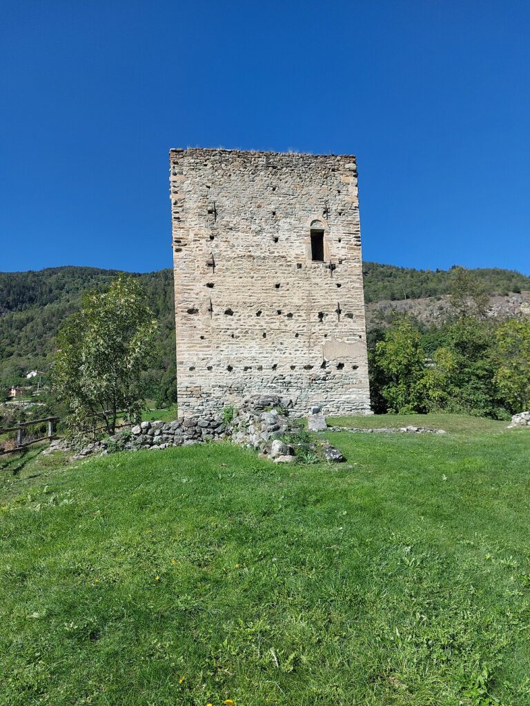
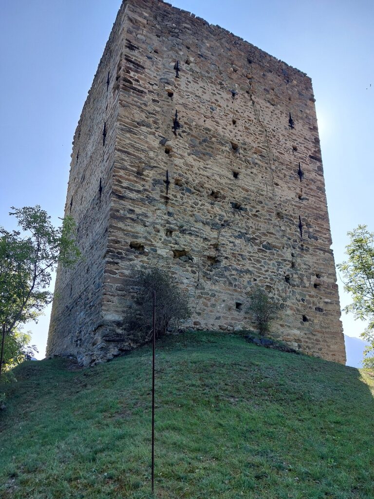
The tower stands as a further remnant of the medieval defensive fabric of the settlement. The sources record its presence without additional architectural detail.
Casaforte di Archiéry
Situated downhill from the tower, this fortified house is documented from 1409. In 1596 it was restored at the initiative of Antonio d’Avise, then provost of the cathedral of Aosta. The restoration preserved a set of carved stone windows that remain its most noted architectural feature.
Casaforte Caravex
Located in the hamlet of Caravex, this fortified house has served as the seat of the Maison de l’Artisanat International (MAIN), an organisation dedicated to international craft. The venue is temporarily closed.
Chiesa Parrocchiale di Sant’Ilario and Cappella della Sacra Sindone
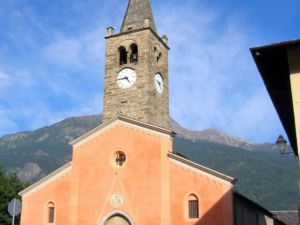
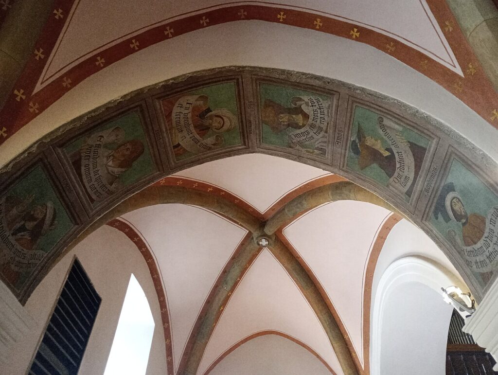
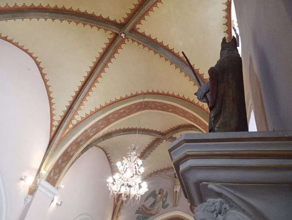
The parish church of Sant’Ilario is the principal place of worship in Gignod. Its fabric incorporates material recovered from the ruins of the castle. The Cappella della Sacra Sindone is a further sacred building recorded within the commune; the sources provide no additional architectural description for either structure.
Gignod’s Table: DOP Cheeses, Cured Meats and a Celebrated Local Delicacy
Gignod and its surrounding territory in the Aosta Valley are best known for a cluster of protected-designation products — Fontina DOP, Valle d’Aosta Fromadzo DOP, Valle d’Aosta Jambon de Bosses DOP and Valle d’Aosta Lard d’Arnad DOP — alongside a local tradition centred on teuteun, salted bovine udder that is celebrated every August at the Féta di teuteun festival.
The DOP cheeses and cured meats are products of the wider Valle d’Aosta, not exclusive to Gignod itself, yet they are present at every local table and in the markets of the valley. Fontina, the region’s flagship cheese, and the leaner Fromadzo reflect centuries of mountain dairy farming. Jambon de Bosses and Lard d’Arnad represent the valley’s tradition of cured pork, prepared according to methods tied to specific Alpine communities.
At a more local level, the teuteun stands out as a distinctly Gignod point of pride. Among the broader range of traditional Valdostan products also found in this area are boudin, mocetta, saouseusse and ratafià. The territory also falls within the Valle d’Aosta DOC wine zone, whose wines accompany regional cuisine throughout the valley.
Planning your visit and getting there
Gignod can be reached easily from the lower Val Pellice and the Turin area. The practical distances and journey times below are kept concise on purpose, so the access information stays clear and consistent.
| Departure | Distance | Time |
|---|---|---|
| Aosta | approx. 8 km | approx. 15 min |
| Turin (city centre) | approx. 150 km | approx. 1 hour and 45 min |
| Milano | approx. 290 km | approx. 2 hours and 45 min |
These practical reference points are enough to plan the journey without overloading the text with unstable logistics. Once on site, the village is best understood slowly, on foot and in relation to the surrounding landscape.
Frequently asked questions about Gignod
How do I reach Gignod from Aosta and Turin?
Gignod is located approximately 8 kilometres from Aosta, accessible by car in around 15 minutes. From Turin, it is roughly 115 kilometres away, requiring approximately 1 hour 20 minutes by road. The village sits at a natural crossroads between the Valpelline and Valle del Gran Bernardo valleys, making it easily reachable via the main Valle d'Aosta road network. Public transport options and specific motorway exits should be verified with local tourism offices.
When is the best time to visit Gignod?
Gignod is an Alpine mountain community best visited during summer and early autumn for outdoor activities and hiking. The patron saint feast day, Sant'Ilario, is celebrated on 13 January and represents an important local event. Winter visits offer Alpine scenery but require appropriate mountain travel preparation. Spring brings verdant valley landscapes. Contact local tourism information for specific seasonal events and weather conditions suitable for your planned activities.
What is the elevation and geography of Gignod?
Gignod sits at 988 metres above sea level (some sources cite 944 metres) and covers approximately 26 square kilometres. The village is strategically positioned between two lateral valleys: Valpelline (locally known as Combe Froide or 'cold valley') and Valle del Gran Bernardo. This geographical position at a natural crossroads has historically attracted travellers and settlers since ancient times, contributing to its cultural and strategic significance.
What outdoor activities and routes are available near Gignod?
As a mountain comune in Valle d'Aosta, Gignod offers access to Alpine trails and outdoor activities typical of the region. The surrounding valleys—Valpelline and Valle del Gran Bernardo—provide hiking and cycling opportunities. Specific CAI (Italian Alpine Club) routes, documented trails, and seasonal conditions should be confirmed with local mountain guides or the Aosta Valley tourism authority before planning excursions.
What is the population and administrative status of Gignod?
Gignod has a population of approximately 1,695 residents and functions as a comune (municipality) within the Province of Aosta, Valle d'Aosta region. Its patron saint is Sant'Ilario, honoured annually on 13 January. The village received its formal civic arms only recently, in 1993, despite its continuous settlement dating back to prehistoric times and its historical governance under Savoyard rule since 1584.
📷 Photo Gallery — Gignod
In Aosta Valley More villages to discover
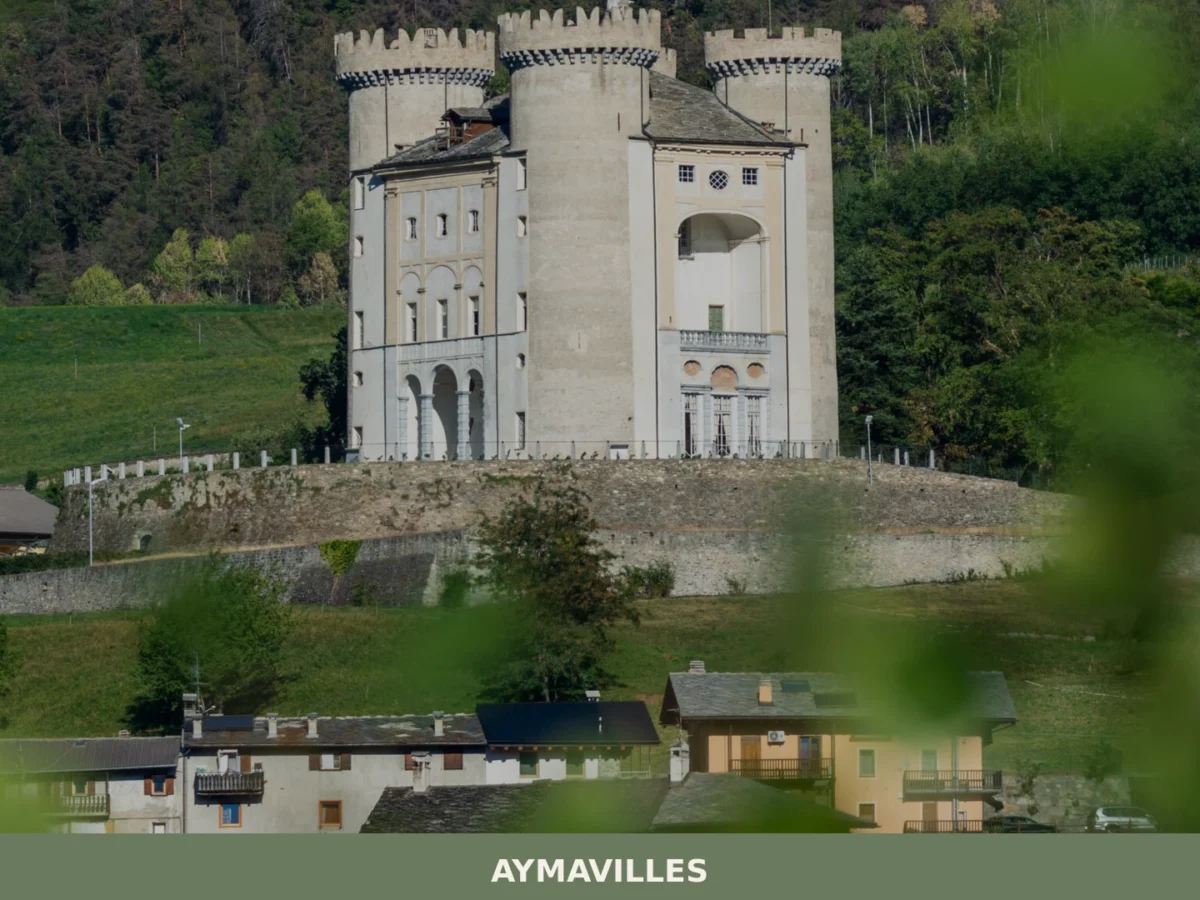
Aymavilles
 Mountain
What to see in Aymavilles, Italy: explore the Roman Pont d'Aël bridge over a 66 m gorge and Alpine trails. Discover top attractions in Valle d'Aosta.
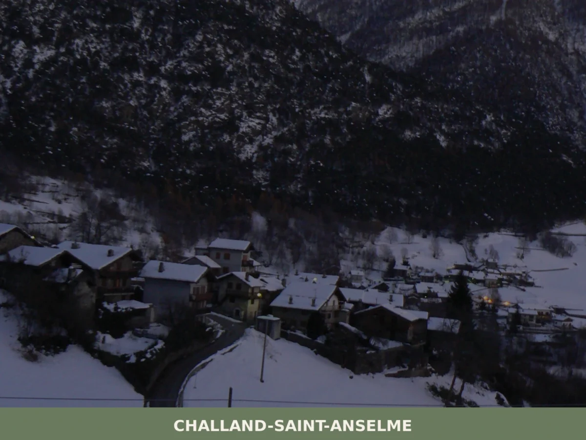
Challand-Saint-Anselme
Mountain
What to see in Challand-Saint-Anselme, Italy? Discover its 1036 m (3,399 ft) altitude, ancient mills, and the Church of Saint-Anselme. Explore this mountain village.
Ayas
Mountain
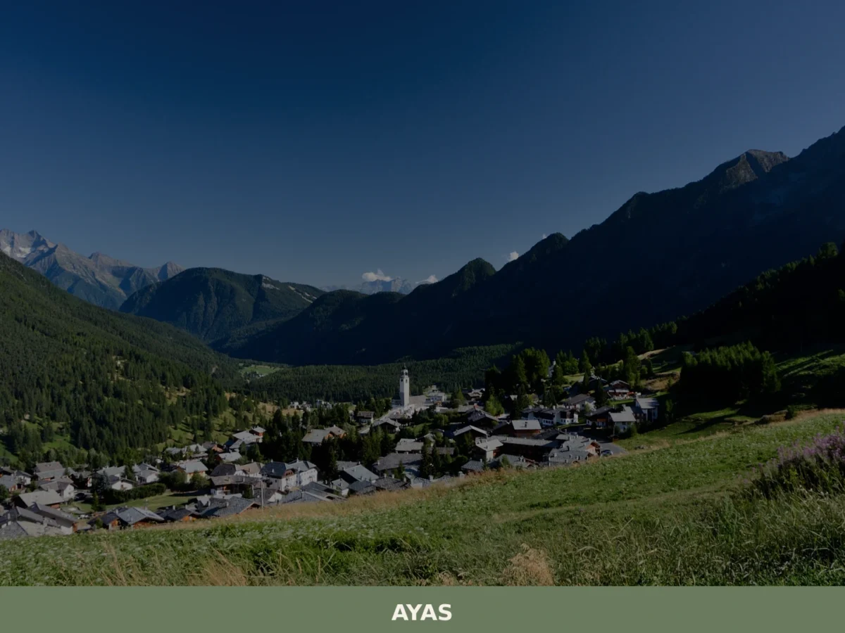
What to see in Ayas, Valle d'Aosta, Italy: explore alpine villages at 1,600 m, medieval chapels and local cuisine. Discover top attractions and how to get there.
Brissogne
Mountain
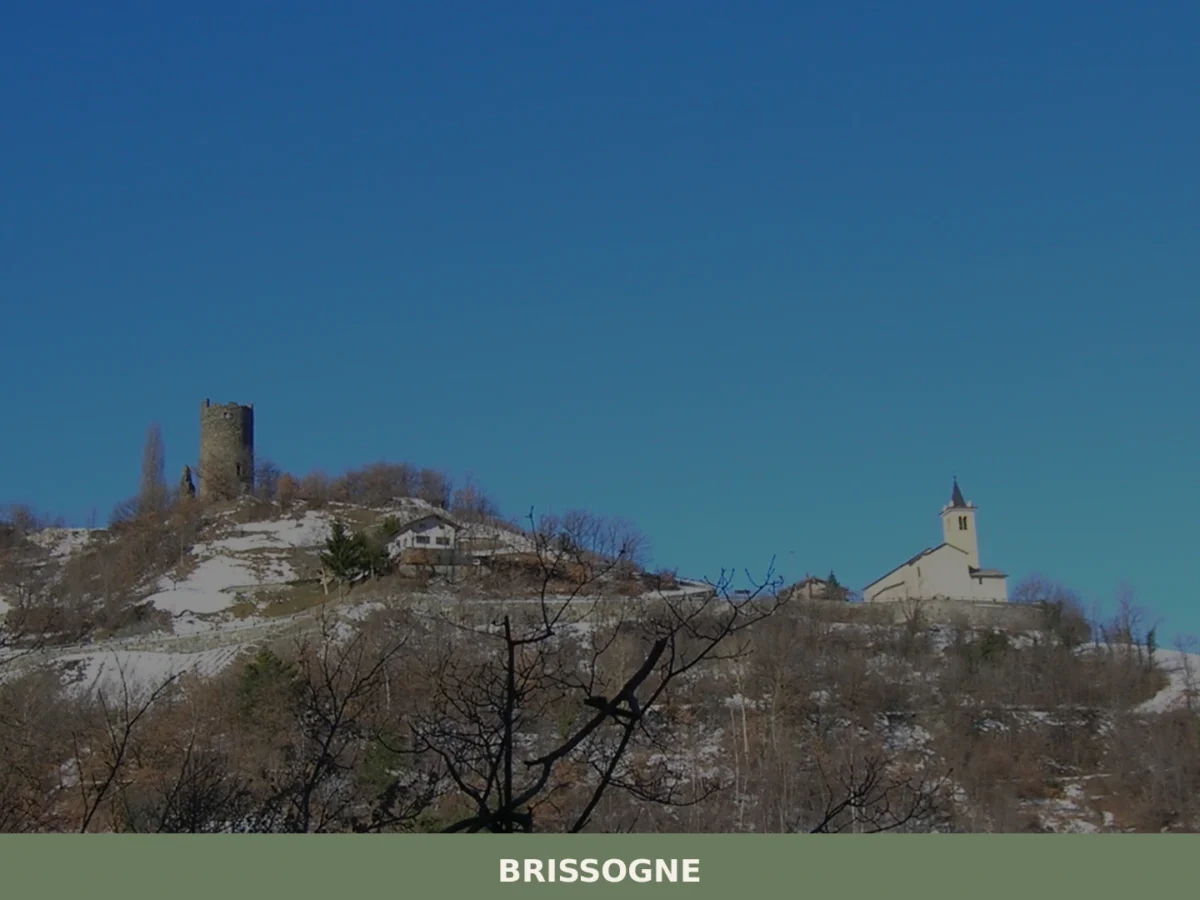
What to see in Brissogne? Discover the 5 unmissable attractions of this village in Aosta Valley. From the church to the castle, plan your visit here!
Arvier
Mountain
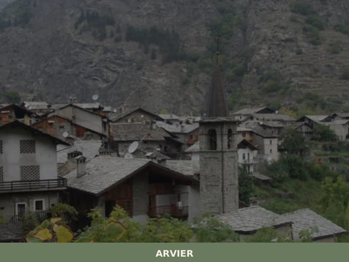
Discover what to see in Arvier, Valle d'Aosta: medieval borough, feudal tower, Enfer d'Arvier vineyards, local food and practical travel tips.
Bard
Mountain
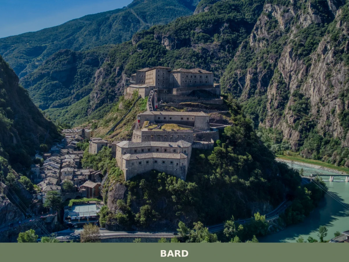
What to see in Bard, Valle d'Aosta, Italy: explore the Fort, medieval streets and local food. Bard sits at 400 m. Discover top attractions and how to get there.
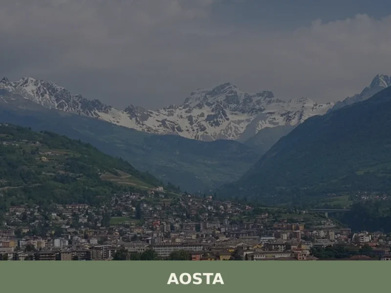
Aosta
 Hills
Hills
What to see in Aosta: Roman city at 583 m in the Aosta Valley. Arch of Augustus, Roman theatre, Fontina PDO and Fiera di Sant'Orso. Plan your visit now.
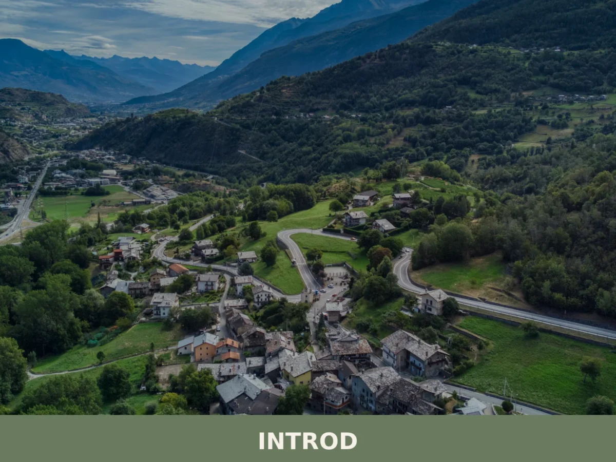
Introd
Mountain
Introd is a mountain commune in the western Aosta Valley, sitting at 876 metres where two glacial valleys open into the Parco Nazionale del Gran Paradiso, with a history stretching back five thousand
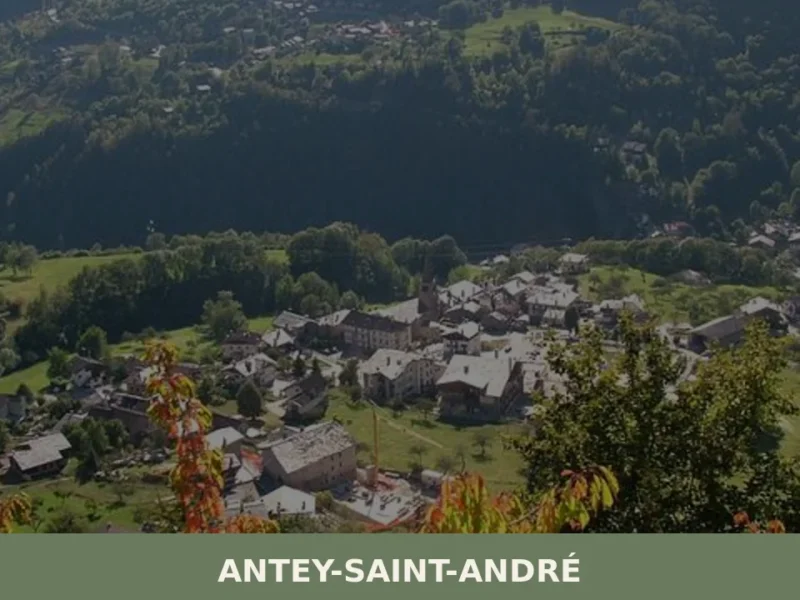
Antey-Saint-André
Mountain
Discover what to see in Antey-Saint-Andru00e9: Alpine hamlets, local food, hiking trails and practical travel tips for this Valtournenche village in Valle d'Aosta.
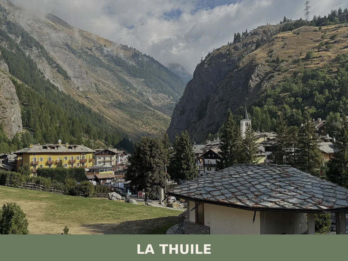
La Thuile
Mountain
La Thuile is an Alpine municipality at 1,455 metres in the Aosta Valley, a historic mountain crossing between Italy and France with 774 residents and over 126 square kilometres of high-altitude landsc




🏡 Know Gignod better than we do?
If you’re a local or have been there, your knowledge matters: add what’s missing or fix a detail on this page.