


What to see in Aymavilles, Italy: explore the Roman Pont d’Aël bridge over a 66 m gorge and Alpine trails. Discover top attractions in Valle d’Aosta.
Discover Aymavilles
A Roman aqueduct bridge spans a gorge 66 metres (217 ft) deep, its stone piers still carrying the weight of foot traffic more than two thousand years after construction. The valley floor below is threaded by the Grand Eyvia torrent, which has cut through the rock over millennia to produce the dramatic profile visible from the road.
This is the physical fact that defines Aymavilles before any description becomes necessary: a precise engineering achievement in a landscape that makes the scale of both the gorge and the structure immediately legible to anyone who stands at the edge.
Deciding what to see in Aymavilles begins with that bridge, a prominent Roman aqueduct, but the commune in the Aosta Valley region of northwestern Italy holds more than a single monument. Among its top attractions are the Roman infrastructure and picturesque Alpine village architecture.
Visitors to Aymavilles find a settlement that preserves Roman infrastructure alongside Alpine village architecture, set within a valley corridor roughly 10 km (6.2 mi) west of the regional capital Aosta. The Pont d’Aël Roman aqueduct bridge and the surrounding trail network give the comune a specific draw for walkers and those interested in Roman engineering.
Population figures place the comune in the small-village category, making it a realistic half-day or full-day stop rather than a multi-night destination.
History of Aymavilles
The name Aymavilles carries its linguistic history in its syllables. The French form Aymavilles and the local Valdôtain dialect form Lé-z-Amaveulle both reflect the dual Romance heritage of the Aosta Valley, where French and the regional Valdôtain patois coexisted with Latin administrative language across many centuries.
The valley itself was a Roman military and trade corridor connecting the Italian peninsula with the Alpine passes leading into Gaul, and the settlements along its length grew around the infrastructure — roads, bridges, aqueducts — that Rome required for the movement of legions and goods. Aymavilles sits within that corridor, and its Roman-period remains are not coincidental survivals but the direct result of deliberate imperial investment in the valley’s utility.
The Pont d’Aël, located in the hamlet of the same name within the commune, was constructed during the reign of Augustus.
An inscription preserved on the structure dates it to 3 BCE, making it one of the most precisely dated Roman bridges in the Alpine region. Its function was dual: the lower passage carried the road, while the upper enclosed channel transported water, a combined design that Roman engineers used in locations where the gorge was too deep for a simple road bridge and an aqueduct on separate supports. The 66-metre (217 ft) depth of the gorge it crosses made this engineering solution both necessary and technically demanding for the period.
Through the medieval period, the Aosta Valley passed under the control of the House of Savoy, a political reality that shaped every settlement in the region including Aymavilles.
The valley’s strategic position between the Mont Blanc massif and the Gran Paradiso range meant that local lords and the Savoy dynasty maintained a close interest in its fortified points and road networks.
By the modern era, the commune had become part of the autonomous region of Valle d’Aosta, which Italy established with special statute status after the Second World War, recognising the valley’s distinct linguistic and cultural character. That autonomy continues to govern local administration today, and the bilingual French-Italian signage throughout the commune is its most immediate visible expression.
What to see in Aymavilles, Valle d’Aosta: top attractions
Pont d’Aël Roman Aqueduct Bridge
The bridge consists of a lower arch carrying a pedestrian passage and an upper enclosed gallery that once directed water across the Grand Eyvia gorge. An inscription on the structure dates its construction to 3 BCE, placing it firmly within the Augustan building programme that transformed the Aosta Valley into a consolidated Roman province.
Standing at the edge of the gorge, visitors can measure the 66-metre (217 ft) drop directly below the arch, and the enclosed upper channel — accessible on guided visits — still shows the hydraulic lime rendering used to seal the aqueduct against leakage.
The best access is from the hamlet of Pont d’Aël itself; the approach path is uneven in places, so sturdy footwear is advisable regardless of season.
Grand Eyvia Gorge and Hiking Trail
The gorge that the Pont d’Aël spans has been adapted into a signed hiking corridor, using the historic bridge as one of its focal points. The trail runs through exposed limestone and schist walls that rise sharply on both sides of the torrent, with the rock strata visible in horizontal bands at close range. Elevation changes along the route vary depending on which section a walker follows, but the gorge section involves descents of between 80 m and 150 m (262 ft to 492 ft) depending on starting point.
Spring and early summer bring the highest water flow in the torrent, making the gorge floor more dramatic; late summer reduces flow but improves trail conditions underfoot for those with less hiking experience.
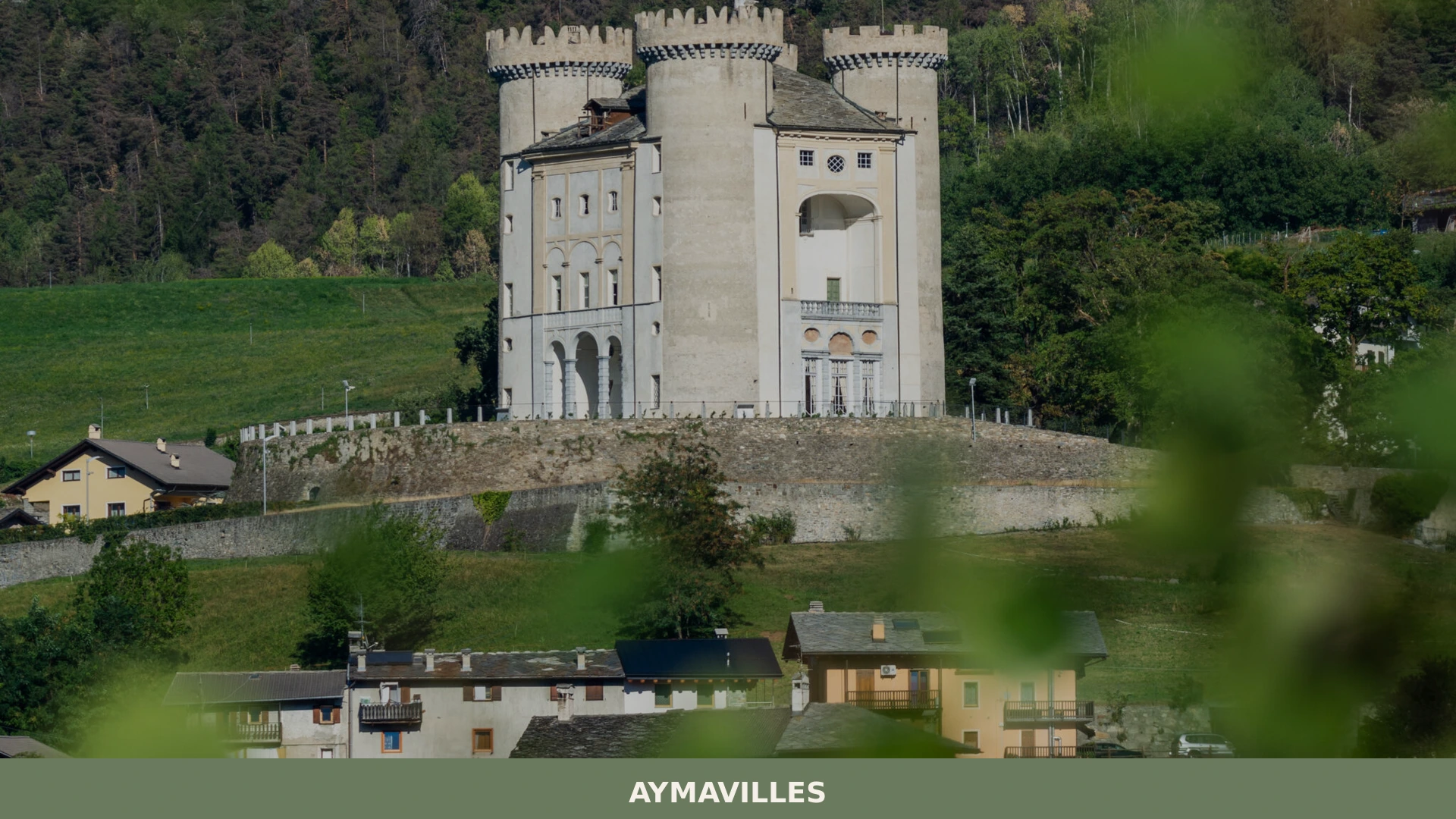
Aymavilles Village Core and Alpine Architecture
The built fabric of the village centre reflects the standard material palette of the western Aosta Valley: stone walls in local grey granite and schist, timber lintels, and steeply pitched roofs designed to shed winter snowfall efficiently. Several buildings retain the external stone staircases — called escalier extérieur in local French usage — that characterise valley farmhouses where animals occupied the ground floor and living quarters were accessed directly from outside at the upper level.
The church registers the community’s historical continuity, its bell tower visible from the valley road below. Walking through the village takes under an hour, and the compact layout means that the architectural sequence from agricultural outbuildings to the church square is legible on foot without a map.
Viewpoints over the Aosta Valley Floor
From elevated points within the commune, the floor of the main Aosta Valley opens to the east toward the regional capital and to the west toward the higher valley sections leading to Courmayeur.
The altitude of the village and its surrounding slopes — positioned above the 600 m (1,969 ft) contour — gives sightlines across a valley floor that is approximately 2 km (1.2 mi) wide at this point, flanked by lateral moraines left by Pleistocene glaciation. The Gran Paradiso massif is visible to the south on clear days, its highest summit reaching 4,061 m (13,323 ft). These viewpoints require no special equipment but are most rewarding in the morning hours before valley haze accumulates, typically between June and September.
Surrounding Lateral Valleys and Day Walk Network
The commune sits at the entrance to the Valgrisenche and Valsavarenche lateral valleys, both of which branch southward from the main Aosta Valley at this point.
These valleys form part of the Gran Paradiso National Park catchment area, and the trail network accessible from Aymavilles connects into a wider system that reaches protected high-altitude terrain within 10 km (6.2 mi) of the village. Day walks from the commune can reach elevations above 2,000 m (6,562 ft) without technical equipment in summer.
The Gran Paradiso National Park trail maps are available at the park visitor centres in the lateral valleys and provide accurate route data for planning.
Local food and typical products of Aymavilles
The food culture of Aymavilles belongs to the broader gastronomic tradition of the western Aosta Valley, a tradition shaped by altitude, long winters, and a pastoral economy that has centred on cattle breeding and dairy production for centuries. The valley’s position as a transit corridor between the Mediterranean world and the Alpine north also introduced preserved and cured products that could sustain populations through seasons when fresh supply was limited. These two pillars — dairy and cured meat — remain the foundation of what reaches the table in this part of Valle d’Aosta.
The most structurally important dish of the area is fonduta valdostana, a preparation based on Fontina cheese melted slowly with egg yolks and milk until it reaches a dense, pourable consistency.
The cheese itself must be made from the full-fat milk of Valdostana cattle breeds, and its flavour profile shifts with altitude: summer pasture milk from animals above 2,000 m (6,562 ft) produces a more aromatic result than winter-stall milk, a distinction that local producers note explicitly.
Zuppa valdostana layers stale dark bread, Fontina, and beef or vegetable broth in a heavy earthenware pot before baking, the bread absorbing the broth until the distinction between liquid and solid partially dissolves. Another preparation, polenta concia, combines coarse maize polenta with butter and melted Fontina in proportions that vary by family and altitude.
The certified products associated with this part of Valle d’Aosta include Fontina DOP — produced across the entire Valle d’Aosta region, with the protected designation of origin covering all communes of the valley including Aymavilles — and Lard d’Arnad DOP, the cured fatback produced specifically in the commune of Arnad in the lower valley, where it is aged in characteristic wooden containers called doïl with herbs, spices, and salt according to a documented method.
The Fontina DOP is recognised by the Consortium of Fontina producers, whose standards specify minimum ageing of 80 days in natural caves or underground cellars where temperature and humidity remain stable.
Local markets and periodic food events in the Aosta Valley tend to concentrate in the autumn months, between September and November, when the transhumance season ends and cattle return from high pastures. The return of the herds, called désalpe in local French, is marked by decorated cows and public gatherings in valley communes.
During this period, fresh Fontina from the summer production cycle becomes available, and local alimentari and farm shops in the area carry the new-season product alongside aged rounds from earlier production.
Festivals, events and traditions of Aymavilles
The liturgical calendar structures the public life of Aymavilles as it does in most small communes of the Aosta Valley, with the patron saint’s feast day marking the primary collective gathering of the year.
The village church calendar and the wider valley tradition of fête patronale — the patron saint festival — involve a formal religious procession, a sung Mass, and communal gatherings that follow the morning ceremony. The specific date of the Aymavilles patron feast aligns with the Valle d’Aosta practice of observing these occasions on the Sunday nearest to the liturgical feast day of the church’s dedicatee, typically in summer when the community is at its fullest with residents returned from seasonal work.
The désalpe, the seasonal return of cattle from Alpine summer pastures, is observed throughout the western Aosta Valley in late September and early October.
In communes near the entrances to lateral valleys like Valgrisenche and Valsavarenche, which are accessible from the Aymavilles area, this event involves decorated herds moving through the valley floor with cowbells, and local gatherings around the return of the animals. This is not a formalised tourist spectacle but an operational moment in the farming calendar that villages have marked publicly for generations, and its timing in early October makes it visible to autumn visitors passing through the valley corridor.
When to visit Aymavilles, Italy and how to get there
The practical window for visiting Aymavilles runs from late May through early October, with June through September offering the most reliable conditions for trail access and the Pont d’Aël visit.
This period corresponds to the best time to visit Valle d’Aosta more broadly: snow has cleared from the lower valley trails by late May, and the lateral valleys to the south are fully open for hiking by mid-June.
July and August bring the highest visitor numbers to the wider region, particularly to Courmayeur and the Gran Paradiso area, but Aymavilles itself sees less traffic than the main tourist centres. Autumn, specifically September and the first weeks of October, offers stable weather, lower visitor numbers, and the possibility of witnessing the désalpe gatherings in the valley. Winter access to the village is reliable by road, but trail activities around the gorge are limited by snow and ice.
Aymavilles, Valle d’Aosta, Italy is reachable by car from the city of Aosta in approximately 15 minutes, covering the 10 km (6.2 mi) along the SS26 state road that follows the valley floor westward. From Turin, the nearest major Italian city at approximately 120 km (74.6 mi) to the southwest, the drive via the A5 motorway takes around one hour and fifteen minutes; the relevant motorway exit is Aosta Ovest (Aosta West), after which local roads lead directly toward the commune.
This distance makes Aymavilles a realistic day trip from Turin for those who want to combine the Roman bridge with a short hike.
The nearest railway station is in Aosta, served by Trenitalia regional services from Turin Porta Nuova, with journey times of approximately two hours; from Aosta station, the commune is accessible by local bus or taxi. The nearest airport with regular international connections is Turin Airport (TRN), approximately 130 km (80.8 mi) from Aymavilles, with a drive of around one hour and twenty minutes via the A5. International visitors should note that English is not widely spoken in smaller local shops and bars in this part of the valley; carrying cash in euros remains practical for purchases in village-level businesses.
Those arriving from the east can use the A5 motorway from Milan, a distance of approximately 200 km (124.3 mi), with the same Aosta Ovest exit applying.
The valley road from Aosta toward Aymavilles passes through the western outskirts of the regional capital, and the drive is straightforward in summer.
For those looking to extend a visit, the nearby Antey-Saint-André commune to the east occupies the Valtournenche lateral valley and provides a contrasting view of the valley system, while Allein to the west represents one of the smaller high-altitude settlements typical of the upper valley, reachable as part of a longer day circuit.
Frequently asked questions about Aymavilles
What is the best time to visit Aymavilles?
The ideal time to visit Aymavilles largely depends on your interests. For hiking and experiencing the dramatic Grand Eyvia Gorge with high water flow, spring and early summer are recommended. For clear panoramic views of the Aosta Valley and the Gran Paradiso massif, particularly from elevated viewpoints, late spring to early autumn (June to September) offers the best conditions. Late summer provides improved trail conditions for less experienced hikers. For a touch of local culture, consider visiting around November 24th to experience the Festa patronale of Cristo Re.
What to see in Aymavilles? Main monuments and landmarks
The primary landmark in Aymavilles is the extraordinary Pont d'Aël Roman Aqueduct Bridge, dating back to 3 BCE. This dual-purpose structure features a pedestrian passage below and an enclosed aqueduct channel above, with the latter accessible via guided visits. Sturdy footwear is recommended for the approach path from the hamlet of Pont d'Aël. Additionally, explore the compact Aymavilles village core, characterized by its traditional Alpine architecture, including stone houses with distinctive external staircases, and the community church with its visible bell tower.
What are the main natural or scenic attractions of Aymavilles?
Aymavilles boasts several natural attractions, notably the dramatic Grand Eyvia Gorge, which the Pont d'Aël spans and features signed hiking trails through its exposed limestone and schist walls. Elevated viewpoints within the commune offer panoramic vistas over the Aosta Valley floor, with the majestic Gran Paradiso massif visible on clear days, particularly rewarding in the mornings between June and September. Furthermore, Aymavilles serves as a gateway to the Valgrisenche and Valsavarenche lateral valleys, leading into the Gran Paradiso National Park, providing extensive networks for day walks into high-altitude terrain.
Where to take the best photos in Aymavilles?
For breathtaking photographs, position yourself at the edge of the Grand Eyvia Gorge near the Pont d'Aël Roman Aqueduct Bridge to capture the impressive 66-meter drop and the ancient structure itself. Additionally, seek out the various elevated viewpoints within the commune. These spots, situated above 600 meters, provide expansive panoramas of the Aosta Valley floor stretching towards Aosta and Courmayeur, and on clear mornings from June to September, offer stunning photographic opportunities of the Gran Paradiso massif to the south.
What can you do in Aymavilles? Activities and experiences
In Aymavilles, visitors can immerse themselves in hiking, exploring the signed trails of the Grand Eyvia Gorge centered around the Roman Pont d'Aël. The commune also offers access to a wider network of day walks into the Valgrisenche and Valsavarenche lateral valleys, part of the Gran Paradiso National Park, with routes reaching over 2,000 meters in summer. Additionally, enjoy a leisurely walk through the compact village core to appreciate its distinctive Alpine architecture, and indulge in the local gastronomic traditions, including tastings of Fontina DOP and traditional regional dishes.
Who is Aymavilles suitable for? Families, couples, hikers, solo travelers?
Aymavilles is ideally suited for hikers, nature enthusiasts, and those interested in Roman history and engineering. Its extensive trail network, including access to Gran Paradiso National Park, makes it perfect for walkers and trekkers. As a small village, it serves as an excellent half-day or full-day stop for solo travelers or couples seeking a tranquil Alpine experience combined with historical exploration. It's also suitable for families with older children who enjoy walking and outdoor activities, offering a blend of scenic beauty and cultural insight.
What to eat in Aymavilles? Local products and specialties
The culinary scene in Aymavilles reflects the broader gastronomic traditions of the Aosta Valley, heavily influenced by dairy and cured meats. Must-try local specialties include u0022fonduta valdostana,u0022 a rich melted Fontina cheese dish, u0022zuppa valdostana,u0022 a hearty preparation of stale bread, Fontina, and broth, and u0022polenta concia,u0022 a comforting blend of maize polenta, butter, and Fontina. Key protected products from the region, available in Aymavilles, are Fontina DOP cheese and Lard d'Arnad DOP, a cured fatback from the nearby Arnad commune.
📷 Photo Gallery — Aymavilles
Getting there
Localitu00e0 Chef Lieu, 11010 Aymavilles (AO)
Nearby Villages near Aymavilles

In Aosta Valley More villages to discover
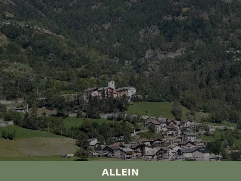
Allein
Discover what to see in Allein, a 198-resident comune sparso in the Gran San Bernardo Valley, Valle d'Aosta. History, food, and travel tips.
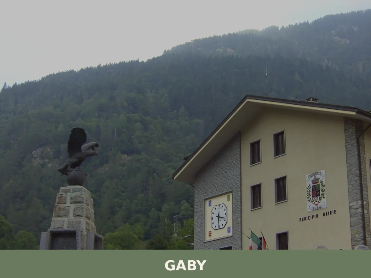
Gaby
Gaby is a small mountain commune in the Valle d'Aosta, set at 1,050 metres in the Lys valley between Issime and Gressoney-Saint-Jean, where Walser heritage, francoprovençal culture and alpine scenery
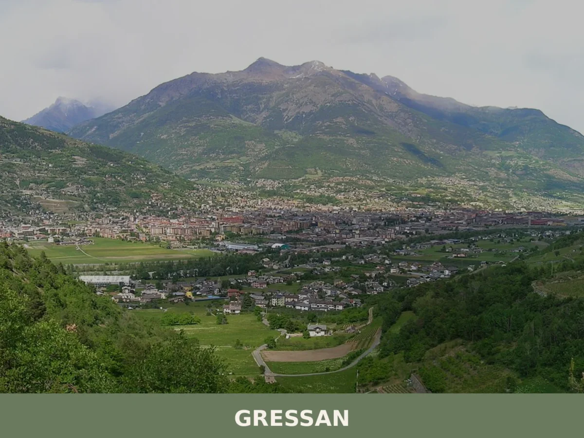
Gressan
Gressan is a mountain commune of around 3,300 inhabitants in the Valle d'Aosta, rich in medieval heritage, natural landscapes and alpine traditions.
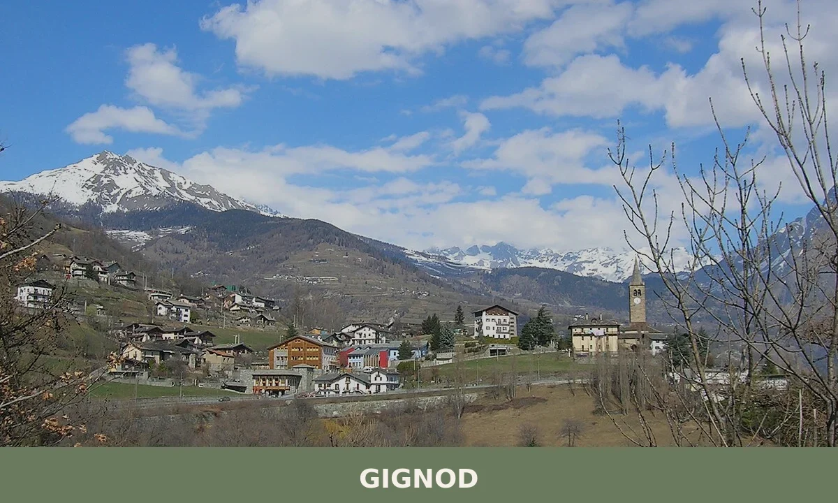
Gignod
Gignod is a mountain comune in the Aosta Valley, lying at 944 metres between the Valpelline and the Valle del Gran San Bernardo, with a history stretching from prehistoric settlement to a living calen
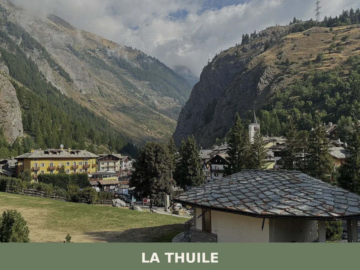
La Thuile
La Thuile is an Alpine municipality at 1,455 metres in the Aosta Valley, a historic mountain crossing between Italy and France with 774 residents and over 126 square kilometres of high-altitude landsc
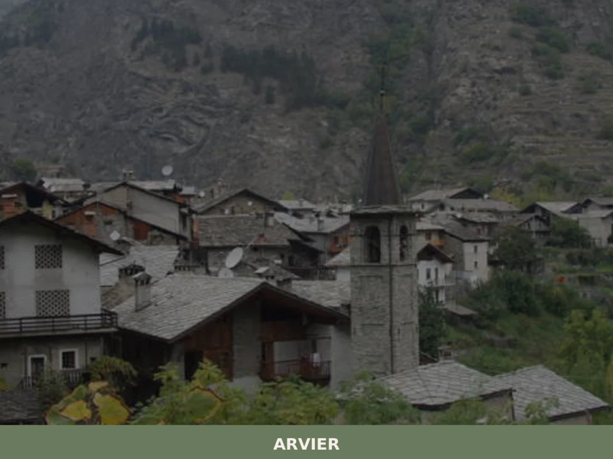
Arvier
Discover what to see in Arvier, Valle d'Aosta: medieval borough, feudal tower, Enfer d'Arvier vineyards, local food and practical travel tips.
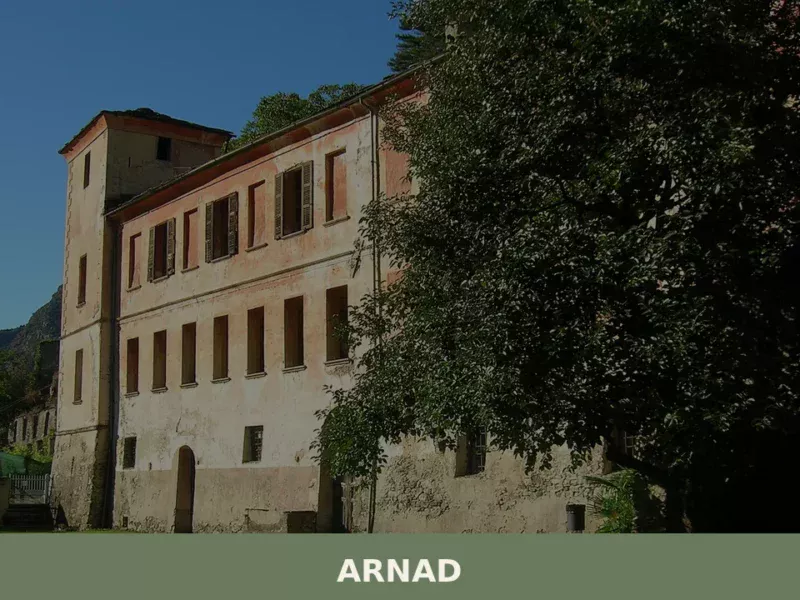
Arnad
Discover what to see in Arnad: medieval Château Vallaise, Lard d'Arnad DOP, historic irrigation channels and terraced vineyards in Italy's Aosta Valley.
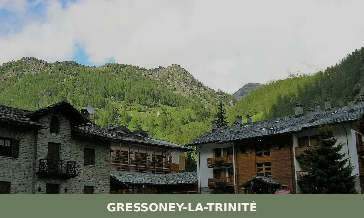
Gressoney-La-Trinité
Gressoney-La-Trinité is a 322-inhabitant Walser commune at 1,629 metres in the Valle del Lys, Valle d'Aosta, set against the glaciers and high peaks of the Monte Rosa massif.
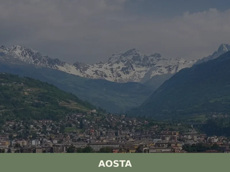
Aosta
What to see in Aosta: Roman city at 583 m in the Aosta Valley. Arch of Augustus, Roman theatre, Fontina PDO and Fiera di Sant'Orso. Plan your visit now.
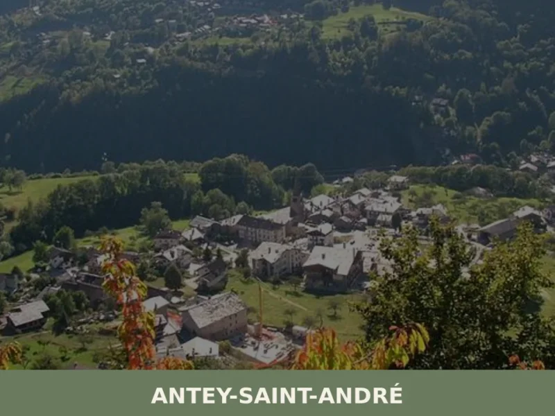
Antey-Saint-André
Discover what to see in Antey-Saint-Andru00e9: Alpine hamlets, local food, hiking trails and practical travel tips for this Valtournenche village in Valle d'Aosta.


🏡 Know Aymavilles better than we do?
If you’re a local or have been there, your knowledge matters: add what’s missing or fix a detail on this page.