


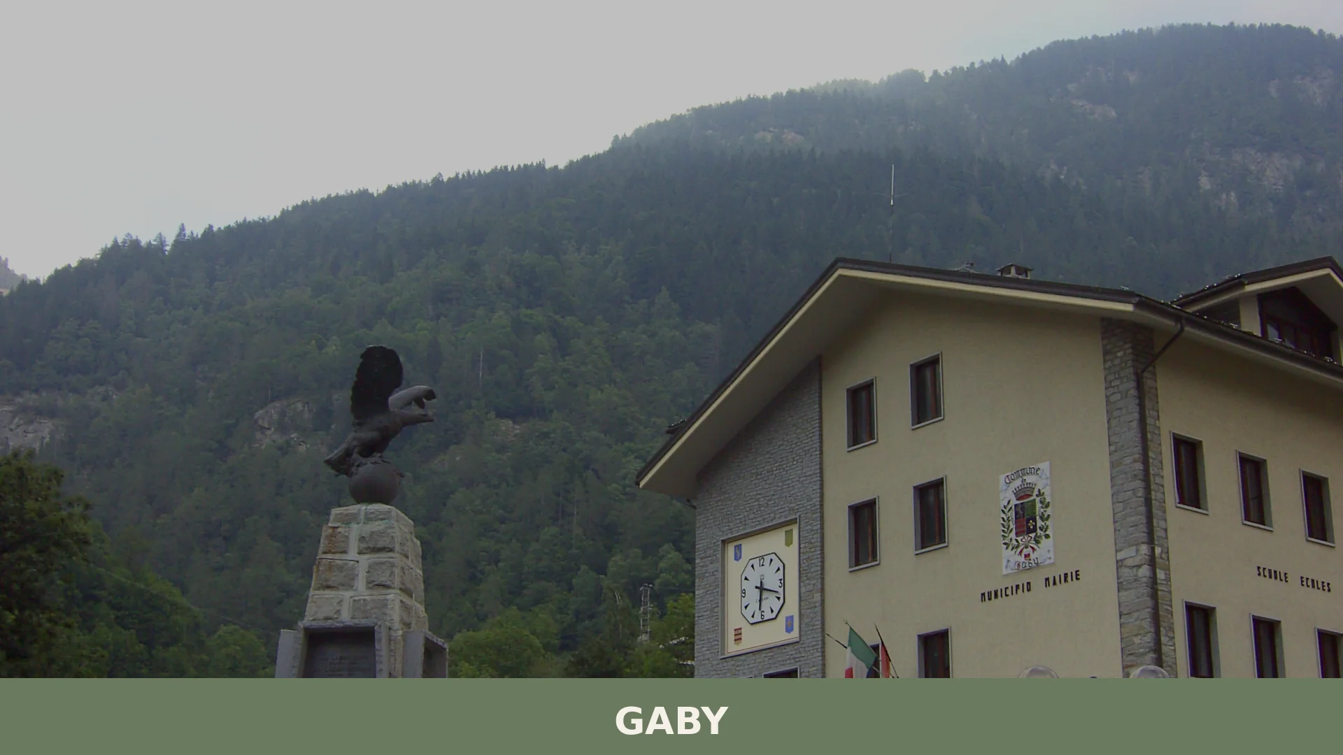

Gaby is a small mountain commune in the Valle d’Aosta, set at 1,050 metres in the Lys valley between Issime and Gressoney-Saint-Jean, where Walser heritage, francoprovençal culture and alpine scenery
Discover Gaby
Gaby is a mountain commune in the Valle d’Aosta, situated in the valley of the Lys between Issime and Gressoney-Saint-Jean, at an altitude of 1047 metres above sea level. With a surface area of around 32.5 square kilometres and a resident population of roughly 400, it belongs to the Unité des Communes valdôtaines Walser and looks northward toward the Alpi Biellesi, reaching its highest point at Mont Néry, which rises to 1047 metres on the boundary with Issime and Brusson.
History, landscape and living tradition converge in ways that reward the unhurried traveller who seeks out this Gaby village in Aosta Valley. Walser roots show in the rascard-dotted hillsides and the carved animal stalls of the Niel valley; a francoprovençal patois distinct from the surrounding Walser-speaking communities marks the village’s singular past; and the glacial environments of the Monte Rosa massif, recognised as a Site of Community Importance and Special Protection Area, frame the whole territory in alpine grandeur.
Gaby village in Aosta Valley: history and origins
Gaby’s history stretches from a probable early settlement at Lihrla — where ruins of a fortified house survive, later used as a lazzaretto during the plague of 1630 — through feudal lordship under the Vallaise family in the fourteenth century, a devastating epidemic in 1637, and eventual independence as a commune in 1952.
The fortified house of Palatz was built in the fourteenth century when the Vallaise family held the feud. An inscription in German on a roof beam records its later construction by the capomastro Hans Goyet in 1632, after which it passed to the local noble family Troc-Drisquer. For centuries Gaby formed part of the neighbouring commune of Issime, known officially as Issime-Saint-Michel, while the present-day Issime bore the name Issime-Saint-Jacques. The parochial separation came on 24 November 1786, when the bishop of Aosta, Paolo Giuseppe Solaro, formally established the parish of San Michele Arcangelo.
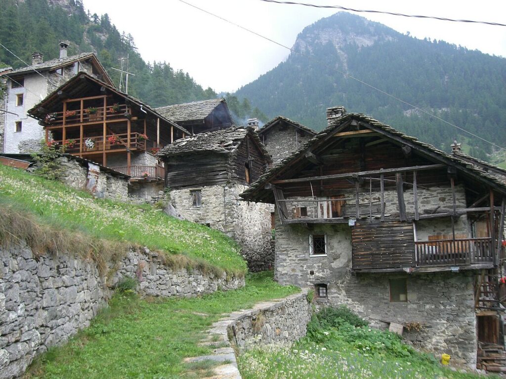
The plague epidemic of 1637 proved catastrophic for Gaby’s Walser-speaking population, which was drastically reduced. In the years that followed, French-speaking inhabitants from the lower valley repopulated the commune, which explains why Gaby became a francoprovençal-speaking enclave within the predominantly Walser-speaking Lys valley. Traces of the original Walser presence remain in the numerous rascard — traditional timber granaries — scattered across the territory, especially in the Vallone di Niel.
Strongholds, a Sanctuary and Carved Stones Along the Lys Valley
Gaby’s built and natural heritage centres on two medieval strongholds, a hilltop sanctuary dedicated to the Madonna delle Grazie, a parish church founded in 1786, and the carved stone works of the Niel valley — set within a landscape that reaches up to the Mont Néry at 1047 metres.
Casaforte di Lihrla
At Lihrla, the probable site of Gaby’s earliest settlement, the ruins of a fortified house survive. During the plague epidemic of 1630 the structure was used as a lazzaretto. No further architectural details are recorded in the sources.
Casaforte di Palatz
The stronghold of Palatz dates to 1632, a year confirmed by an inscription in German found on one of the roof beams. The text names Hans Goyet as the master builder who carried out the work. The building subsequently passed to Jean Troc-Drisquer and the noble Troc-Drisquer family, who became local lords of the territory.
Parrocchiale di San Michele Arcangelo
Santuario di Vourry
About two kilometres from the village centre, the Sanctuary of Vourry is dedicated to the Madonna delle Grazie (Notre-Dame-de-Grâce). No further details on its construction or decoration are recorded in the sources.
Carved Stone Works in the Niel Valley
In the Niel valley, near the hamlets of Niel and Gruba, local stonework takes an unusual form: stones carved to reproduce the shape of a traditional animal shelter. According to local tradition these were made by the inhabitants — skilled builders — for children. They are regarded as a rare example of this kind of craft within the Valle d’Aosta.
The Niel Valley and its Natural Features
The Niel valley rises above the village centre and is marked by the waterfall of the Niel torrent, which drops approximately 1047 metres. From the hamlet of Niel, paths lead to a series of high mountain passes: the Colle Lazoney, the Punta Tre Vescovi, the Colle della Mologna Grande — which connects the Lys valley with the Valle Cervo in Piedmont — and the Colle della Mologna Piccola. The glacial environments of the Monte Rosa massif within Gaby’s territory form part of a designated site of community interest and special protection zone (SIC/ZPS IT1204220, covering 8,645 hectares).
Cheeses, Cured Meats and Mountain Flavours from the Lys Valley
Gaby and the surrounding Aosta Valley territory are known above all for a cluster of DOP-certified products: Fontina, Valle d’Aosta Fromadzo, Valle d’Aosta Jambon de Bosses, and Valle d’Aosta Lard d’Arnad — all expressions of a mountain food culture rooted in alpine pastures and centuries-old curing traditions. These are products of the broader regional and provincial area rather than exclusive specialities of Gaby itself, yet they shape the table of every village in the valley.
Alongside the certified range, the regional tradition includes several PAT-listed preparations worth knowing: Boudin, Mocetta (cured chamois or beef), Saouseusse, Teteun, Ratafià and Grappa. The Valle d’Aosta / Vallée d’Aoste DOC designation covers the wines produced across the region, and bottles from this appellation pair naturally with the valley’s aged cheeses and charcuterie.
Reaching Gaby and Planning a Stay in the Lys Valley
Gaby sits at around 1047 metres in the Valle del Lys and is most easily reached by car; the closest access point from the motorway network is Pont-Saint-Martin, approximately 10 km away and about 20–25 minutes by road, while Aosta lies roughly 35 km to the west, around 40–45 minutes by car. The mountain setting and the trails leading into the Vallone di Niel make the warmer months — late spring through early autumn — the most practical time to visit.
The Valle del Lys forms part of the Unité des Communes valdôtaines Walser, a stretch of valley rich in cultural contrasts: Gaby itself is a francophone island within a predominantly Walser-speaking corridor. Travellers moving up from the lower Aosta Valley may wish to combine the visit with a stop at Arnad, whose name is tied to one of the valley’s most celebrated DOP cured meats, or at the fortress village of Bard, before turning north towards the Lys. Those exploring the lateral valleys further west might also find Challand-Saint-Anselme a rewarding detour.
| Departure | Distance | Time |
|---|---|---|
| Pont-Saint-Martin | approx. 10 km | approx. 20-25 min |
| Aosta | approx. 35 km | approx. 40-45 min |
| Issime | approx. 4 km | approx. 10 min |
| Gressoney-Saint-Jean | approx. 10 km | approx. 20 min |
These practical references help organise the journey clearly, while the village itself is best understood slowly and on foot once you arrive.
Frequently asked questions about Gaby
What is the best time to visit Gaby?
Summer and early autumn are ideal for hiking and exploring alpine landscapes. September is particularly special, as the patron saint feast of San Michele Arcangelo is celebrated on September 29th, featuring local traditions and festivities. Winter offers snow-covered mountain scenery but may limit accessibility. Spring brings wildflowers and melting glaciers, making it excellent for nature photography and trekking.
How high is Gaby situated, and what is the highest peak nearby?
Gaby lies at 1,047 metres above sea level in the Lys valley. The highest point in the territory is Mont Néry, reaching 3,075 metres on the boundary with Issime and Brusson. This dramatic elevation change offers stunning alpine vistas and access to glacial environments of the Monte Rosa massif, a protected Site of Community Importance.
What are the main historical features of Gaby?
Gaby preserves Walser cultural heritage visible in rascard (traditional mountain houses) dotting the hillsides and carved animal stalls in the Niel valley. The settlement's origins include Lihrla, where fortified house ruins survive from feudal times and were later repurposed as a plague hospital during the 1630 epidemic. The village uniquely speaks a Francoprovençal patois distinct from surrounding Walser communities.
What outdoor activities are available in and around Gaby?
Gaby offers exceptional alpine hiking with access to Monte Rosa glacial environments and Mont Néry. The Lys valley provides trekking routes through Walser cultural landscapes. The territory is framed by protected alpine zones designated as Special Protection Areas, ideal for nature walks, photography, and mountaineering. Specific CAI trail information should be verified with local tourism offices.
What is the population and administrative status of Gaby?
Gaby has approximately 403 resident inhabitants and covers roughly 32 square kilometres. It is an administrative commune in the Province of Aosta and belongs to the Unité des Communes valdôtaines Walser, a grouping of municipalities sharing Walser cultural and linguistic heritage in the Valle d'Aosta region.
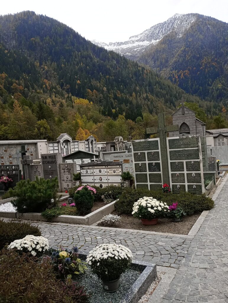
📷 Photo Gallery — Gaby
In Aosta Valley More villages to discover
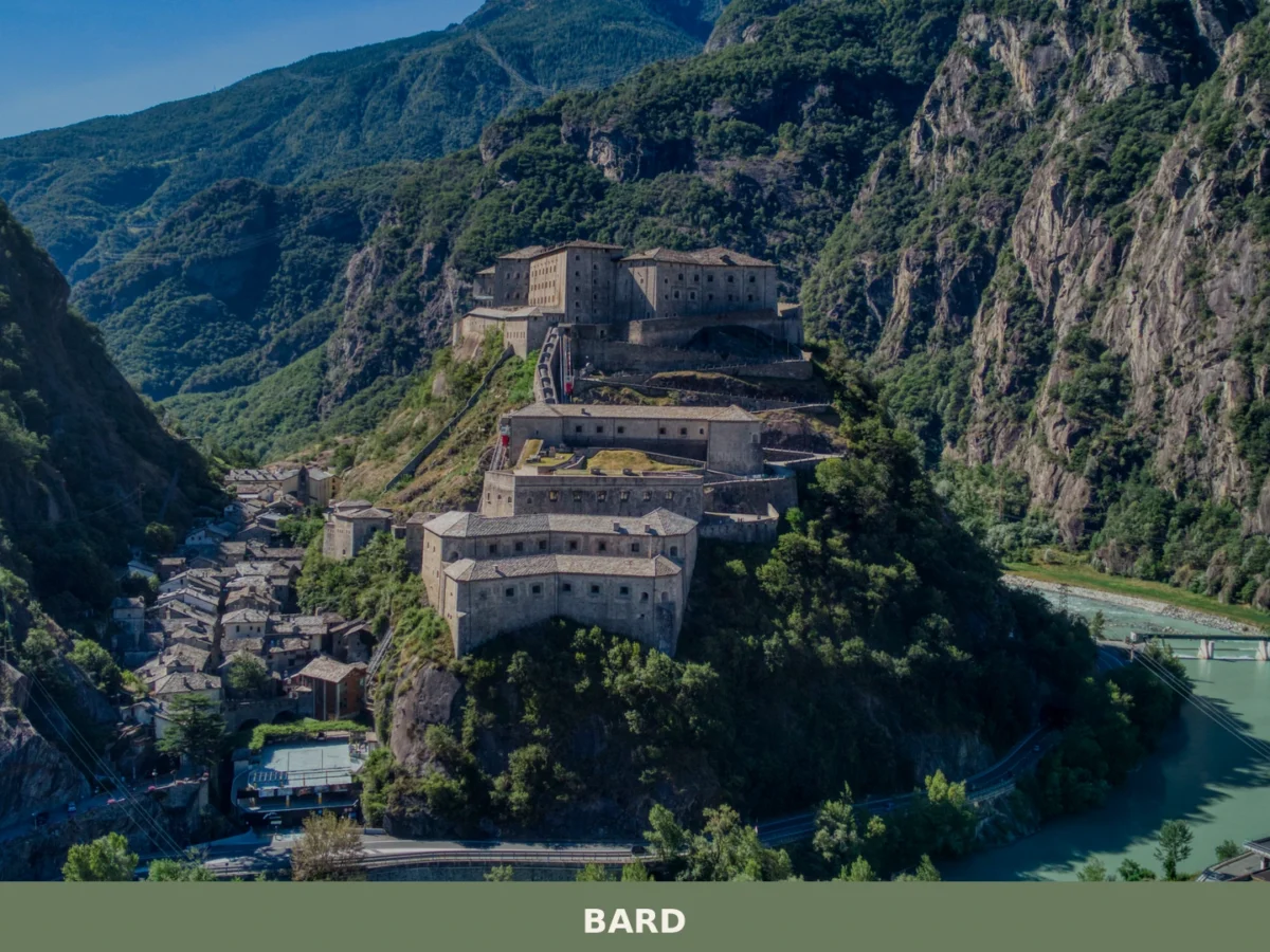
Bard
 Mountain
What to see in Bard, Valle d'Aosta, Italy: explore the Fort, medieval streets and local food. Bard sits at 400 m. Discover top attractions and how to get there.
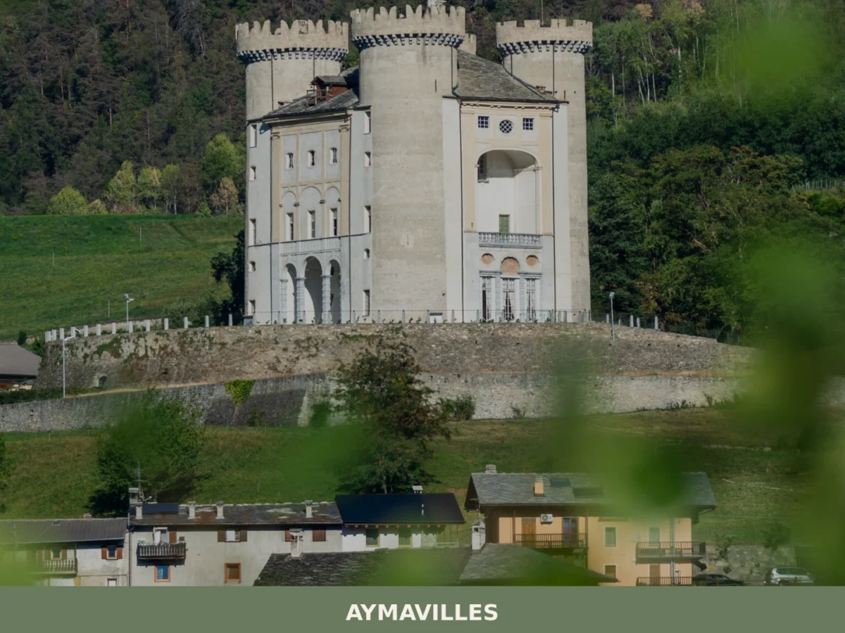
Aymavilles
Mountain
What to see in Aymavilles, Italy: explore the Roman Pont d'Aël bridge over a 66 m gorge and Alpine trails. Discover top attractions in Valle d'Aosta.
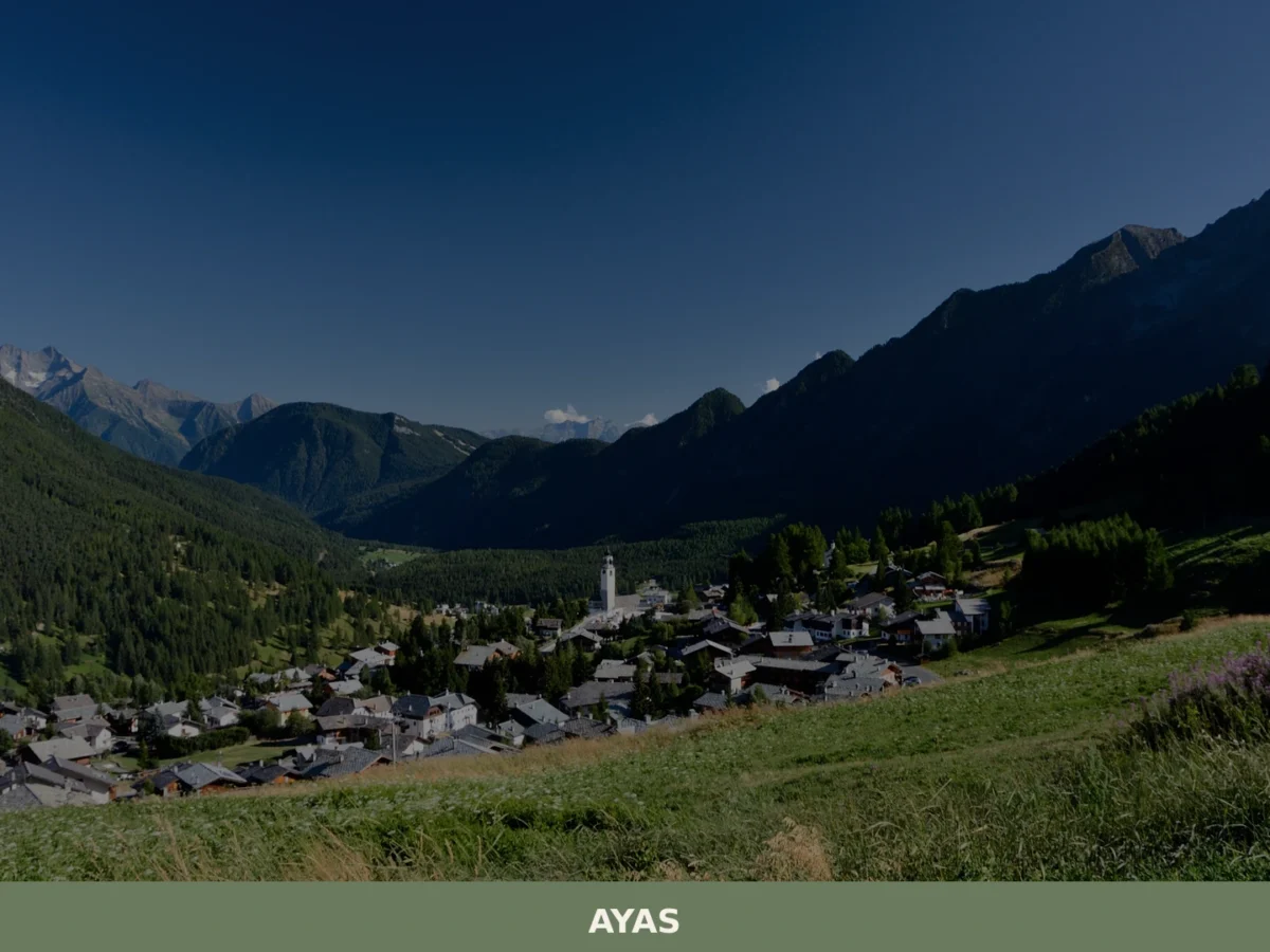
Ayas
Mountain
What to see in Ayas, Valle d'Aosta, Italy: explore alpine villages at 1,600 m, medieval chapels and local cuisine. Discover top attractions and how to get there.
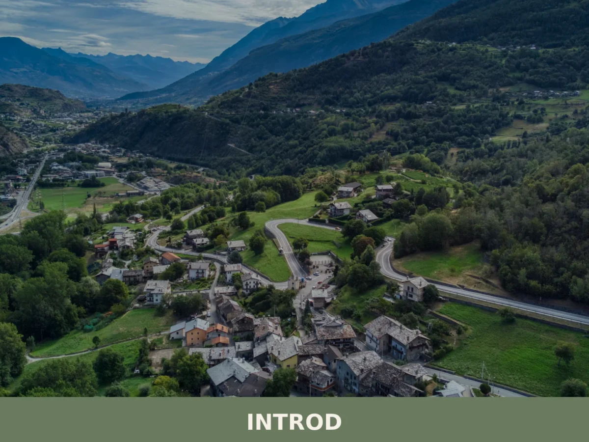
Introd
Mountain
Introd is a mountain commune in the western Aosta Valley, sitting at 876 metres where two glacial valleys open into the Parco Nazionale del Gran Paradiso, with a history stretching back five thousand
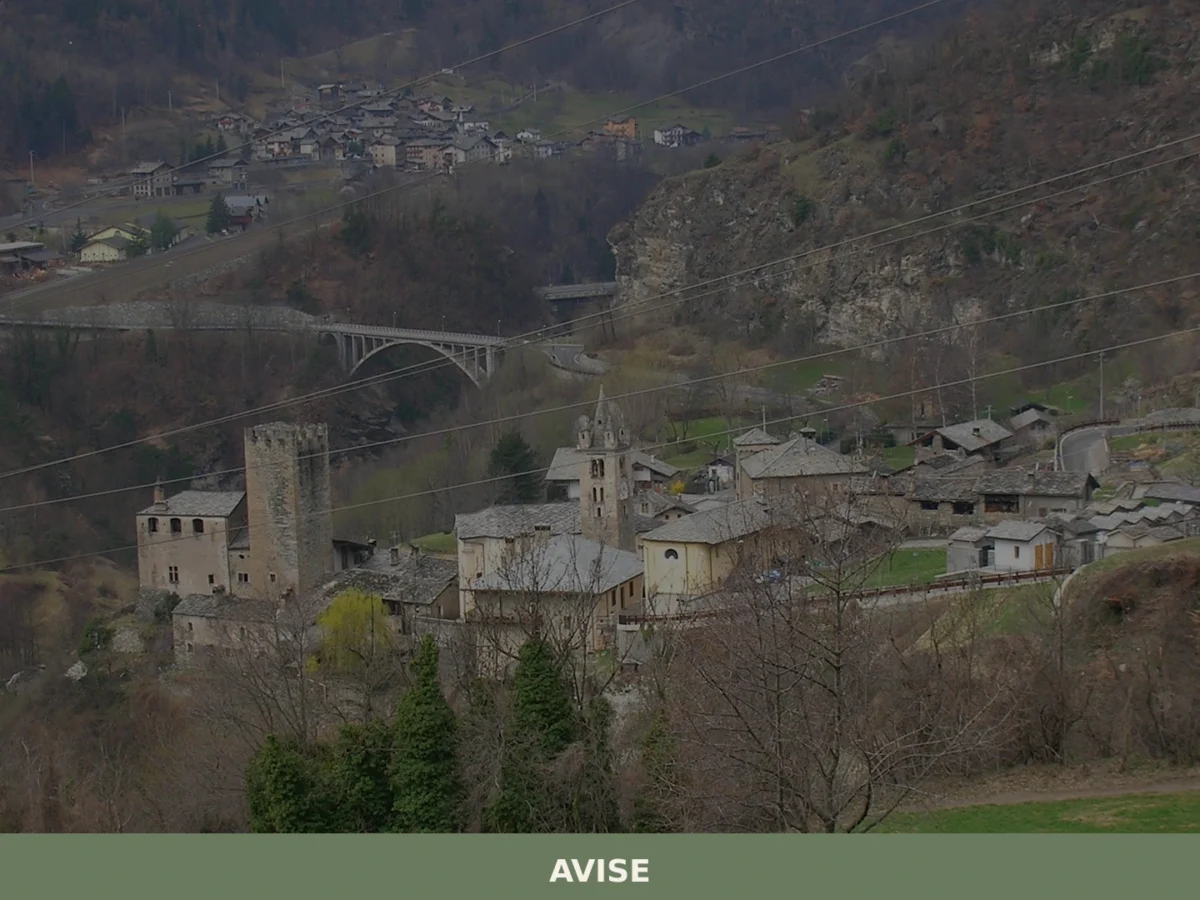
Avise
Mountain
Discover what to see in Avise: a medieval castle, Romanesque church, alpine vernacular architecture and valley views in the upper Valle d'Aosta at 996 metres.
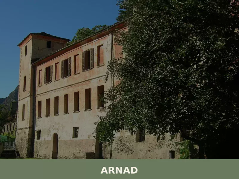
Arnad
Mountain
Discover what to see in Arnad: medieval Château Vallaise, Lard d'Arnad DOP, historic irrigation channels and terraced vineyards in Italy's Aosta Valley.
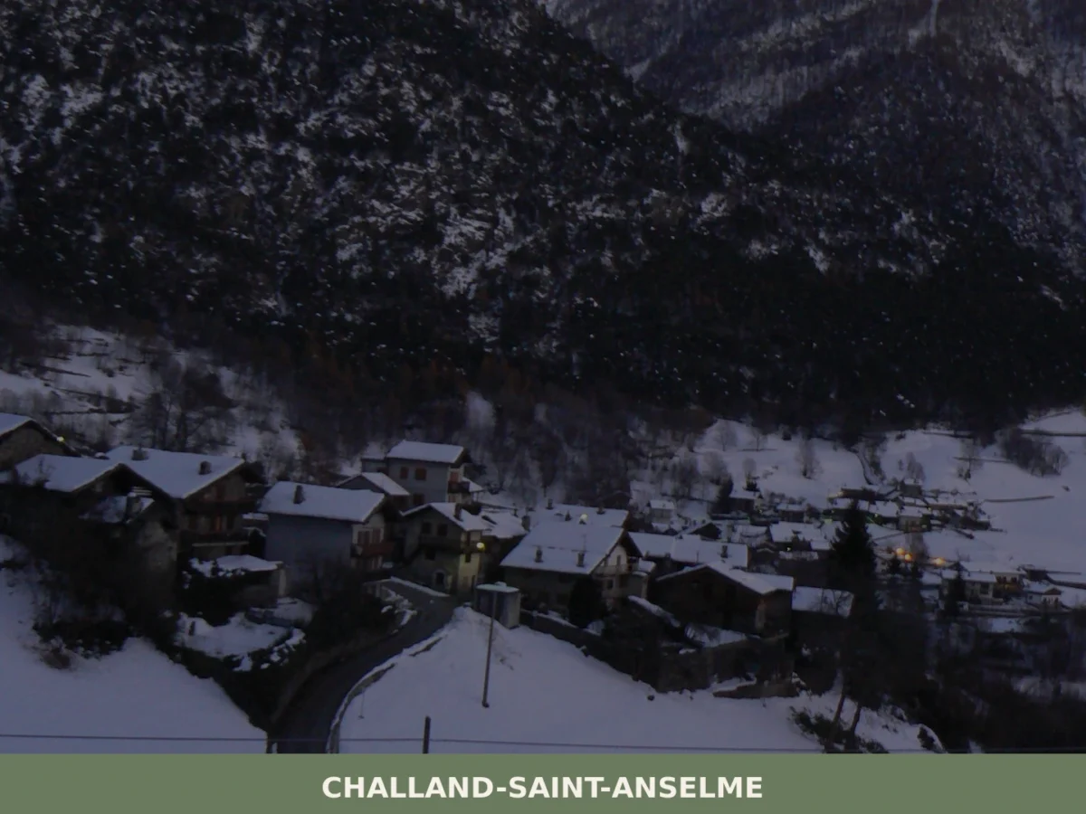
Challand-Saint-Anselme
Mountain
What to see in Challand-Saint-Anselme, Italy? Discover its 1036 m (3,399 ft) altitude, ancient mills, and the Church of Saint-Anselme. Explore this mountain village.
Brissogne
Mountain
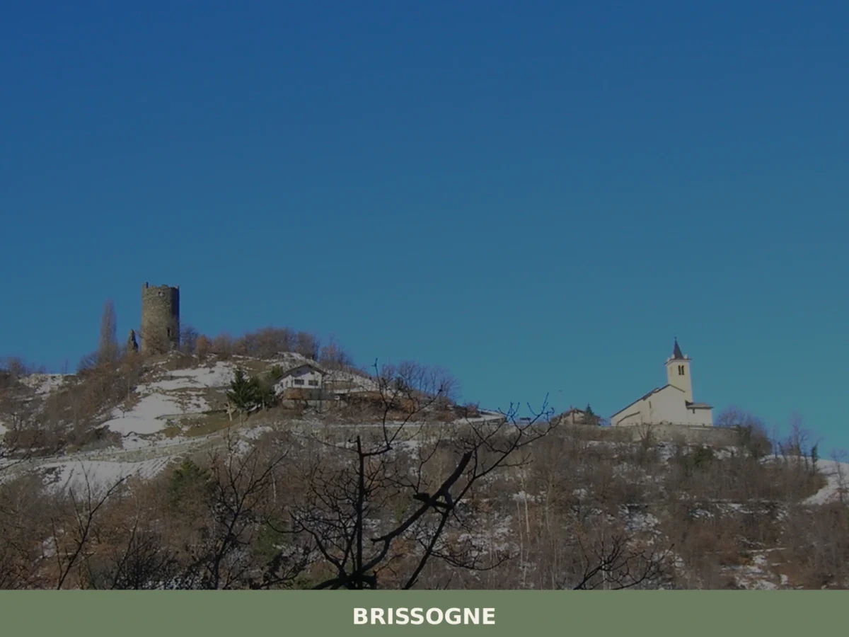
What to see in Brissogne? Discover the 5 unmissable attractions of this village in Aosta Valley. From the church to the castle, plan your visit here!
Aosta
 Hills
Hills
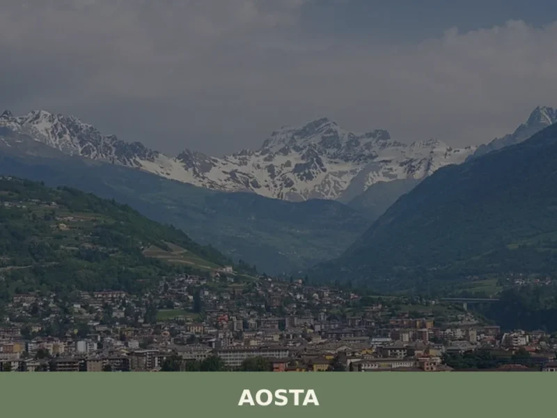
What to see in Aosta: Roman city at 583 m in the Aosta Valley. Arch of Augustus, Roman theatre, Fontina PDO and Fiera di Sant'Orso. Plan your visit now.
La Thuile
Mountain
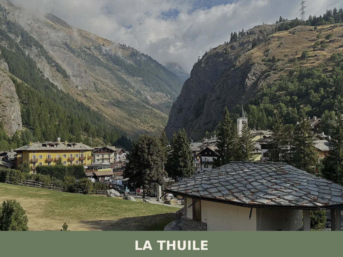
La Thuile is an Alpine municipality at 1,455 metres in the Aosta Valley, a historic mountain crossing between Italy and France with 774 residents and over 126 square kilometres of high-altitude landsc

🏡 Know Gaby better than we do?
If you’re a local or have been there, your knowledge matters: add what’s missing or fix a detail on this page.