


Meana di Susa
 Mountain
794 inhabitants, 23 hamlets and a road climbing to 2176 m: Meana di Susa rewards visitors with layered history and a direct connection to the high Alps.
Meana di Susa: A Village Between Roman Roots and Alpine Ridges
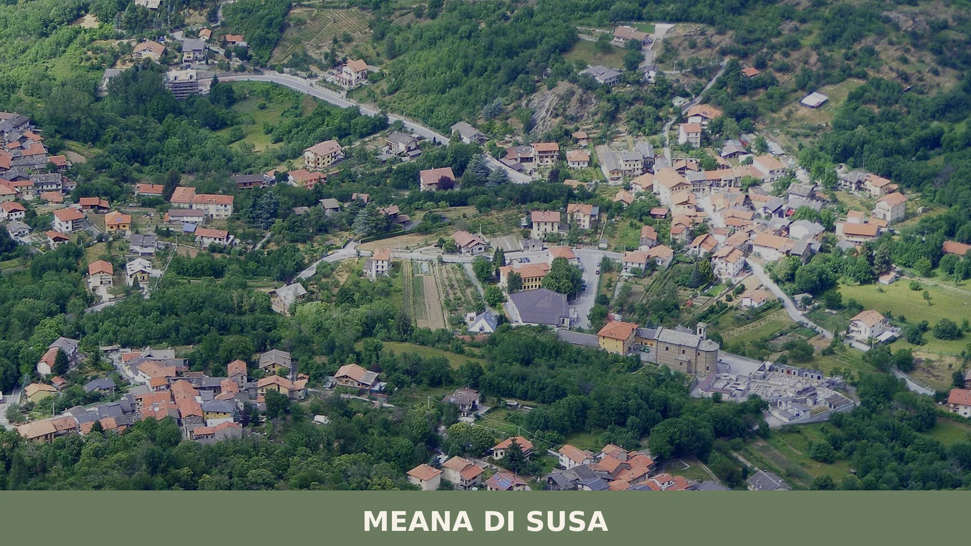
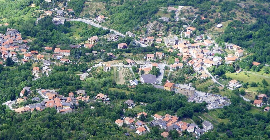
Meana sits at a high altitude in the upper Susa Valley, with the Colle delle Finestre road climbing steeply above and the rooftops of Susa visible just two kilometres below. The village spreads across 23 borgate — compact hamlets of stone and slate — each carrying a name that locals still use to orient themselves across the 17.73 square kilometres of municipal territory. The old Romanesque bell tower of the parish church rises above the houses as the sole vertical landmark in a landscape of ridgelines and terraced slopes.
Meana di Susa village in Piedmont draws two kinds of visitors: those following the great walking routes that cross this valley — the Via Francigena and the Cammino di San Michele both pass through — and those who come for the mountain roads, particularly the ascent to the Colle delle Finestre at 2176 m above sea level, one of the most demanding and celebrated passes in the western Alps. Between these two poles, the village itself offers something more measured: a settlement with nearly a thousand years of documented religious life, a Waldensian past, and a patron saint whose cult shaped the local calendar for centuries.
A Thousand Years of Community on the Susa Road
The earliest physical evidence of human settlement in this territory predates the medieval village by more than a millennium. A necropolis dated to the first and second centuries of the common era was found in the area known as Bassa Meana, and its presence points to a close relationship with Segusium, the Roman town that stood nearby and gave the valley much of its ancient character. The burial ground suggests a stable, organised population rather than a passing presence, though the precise nature of that settlement and its continuity into later centuries remains a matter of inference rather than documented record.
The written history of the village as a religious community begins in 1065, when a bull recorded the communities of San Costanzo and Santa Maria among the churches under the jurisdiction of the Prevostura di San Lorenzo di Oulx. The document is significant not only because it confirms the existence of these two communities at that date, but because it places Meana within a broader ecclesiastical network that stretched across the Alpine passes. San Costanzo would remain the central figure of local devotion for centuries to come. Between the fourteenth and eighteenth centuries, a substantial Waldensian community also lived in the village, reflecting the religious complexity that characterised much of the western Alpine arc during that long period of confessional conflict and coexistence.
The depth of devotion to San Costanzo found its most elaborate expression in the seventeenth and eighteenth centuries, when the village staged a sacred theatrical performance lasting two full days and involving 118 characters. Thousands of people came from surrounding towns and villages to witness it. A ritual known as the ballo dei branch — a ceremonial dance performed in honour of the saint during the September patronal festival — survived into the modern era, though for most of the twentieth century it had been moved to the first Sunday of May before returning to its original autumn date. The feudal history of the village also left a visible trace: the hamlet of Suffis, considered the oldest of the twenty-three borgate, was the probable seat of the Ripa family, who held the lordship of Meana and from around 1630 took the name of the locality as part of their own title.
Landmarks That Define the Village Territory
Parrocchiale di Santa Maria Assunta
The parish church of Santa Maria Assunta was built in the eighteenth century, but it incorporates a Romanesque bell tower that belonged to an earlier structure on the same site. The tower is the most visually distinctive element of the village skyline and gives the church a layered presence that the eighteenth-century body alone would not convey. The building stands as the focal point of the main religious community of Meana, the same community that appears by name in the bishop’s bull of 1065, making the continuity of worship on this site a matter of documented record across nearly ten centuries.
Chiesa di San Costanzo
The church dedicated to San Costanzo is the other pole of religious life in Meana, and its roots go equally deep. Like Santa Maria, it is cited in the 1065 bull, which places both communities within the same jurisdictional and devotional framework. The cult of San Costanzo has shaped the calendar and the collective memory of the village more persistently than almost any other single thread in its history. The September patronal festival centred on this church remains the most attended event of the local year.
Torre delle Combe
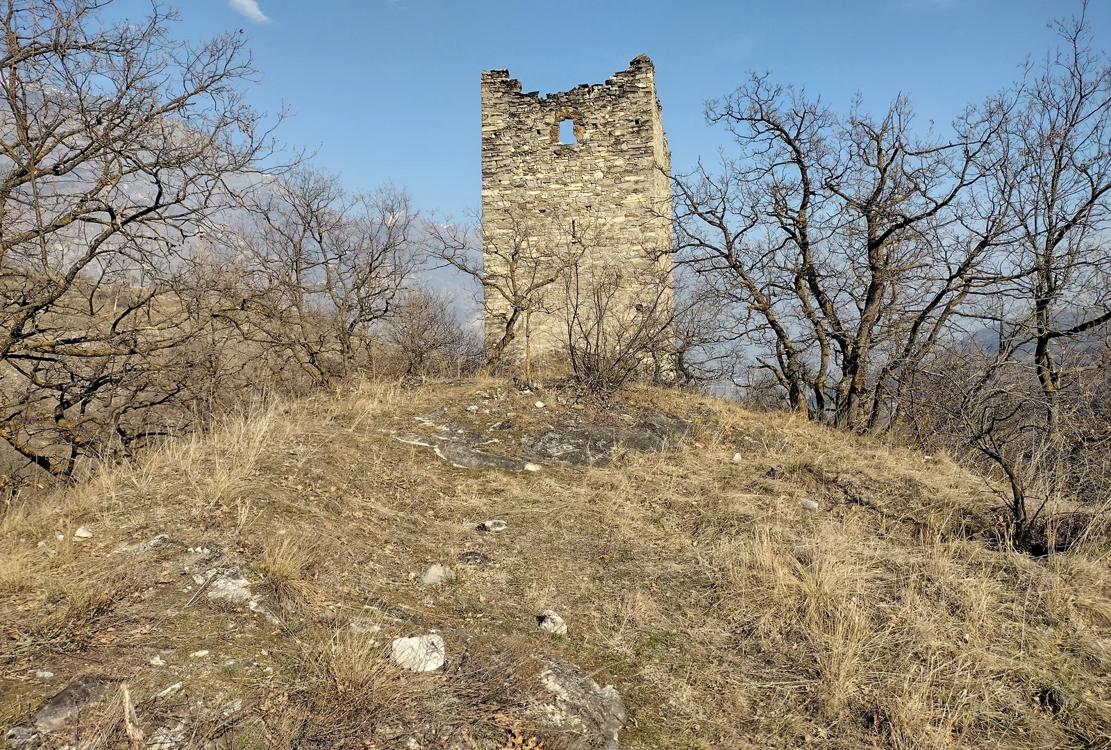
Standing apart from the main residential fabric of the village, the Torre delle Combe has the external appearance of a military structure, with solid masonry and a commanding position relative to the surrounding terrain. The documentary evidence suggests, however, that its primary function was communication rather than defence: the tower is thought to have served as a relay point for fire signals, allowing information to travel rapidly along the valley by means of visible beacons. Whether military or communicative in origin, it remains a distinctive and largely unaltered presence in the landscape around Meana.
Borgata Suffis
Among the twenty-three hamlets that make up the municipal territory, Suffis holds a particular historical status as the oldest of the borgate. The hamlet today preserves the compact stone architecture typical of high valley settlements, and its position in the overall layout of Meana reflects its long-standing role as a point of reference within the community.
The Road to Colle delle Finestre
The road that leaves Meana and climbs toward Colle delle Finestre at 2176 m above sea level connects the Valle di Susa with the Val Chisone on the far side of the ridge. It is one of the high alpine roads in Piedmont that remains partially unpaved along its upper sections, which has made it a reference point for competitive cycling events and a draw for visitors seeking the particular quality of mountain landscape that only a sustained ascent can reveal. The pass itself belongs to the high terrain above the village, and the road that reaches it begins in Meana, giving the village a direct and physical relationship with the alpine environment above.
Mountain Flavours and the Valley Table
The agricultural and foraging traditions of the Alta Valle di Susa give the local table its character. The territory around Meana falls within the production zone of the Marrone della Valle di Susa IGP, the sweet chestnut that has been harvested in these valleys for centuries and that appears in various forms throughout the autumn season. The broader Piedmontese context brings with it a range of cured meats, alpine herb liqueurs, and the ratafià and rosolio fruit-based spirits that belong to the regional tradition of home distillation and small-scale production.
None of these products is exclusive to Meana itself, and the village makes no claim to a single defining dish or preparation. What the local table reflects instead is the logic of altitude and season: preserved foods, chestnuts, dairy from the high pastures, and the kind of straightforward cooking that developed in communities that spent part of each year in relative isolation.
Planning your visit and getting there
Meana di Susa can be reached easily from the lower Val di Susa, the Turin–Bardonecchia axis, and the Turin area.
| Departure | Distance | Time |
|---|---|---|
| Turin (city centre) | 54 km | approx. 50 min in auto / approx. 1h in trandno SFM3 |
| Casello A32 Susa | approx. 4 km via SS24 | approx. 10 min |
Once on site, the village is best understood slowly, on foot and in relation to the surrounding landscape.
Frequently asked questions about Meana di Susa
How do I reach Meana di Susa by car?
Meana di Susa is located in the upper Susa Valley, Turin Province, Piedmont. The nearest major motorway is the A32 Turin–Bardonecchia. Exit at Susa and follow regional roads SS25 or local roads up the valley. The village sits at 681 metres elevation. Susa town centre lies approximately 2 kilometres below. Allow 1–1.5 hours driving time from Turin city centre depending on traffic and exact route.
What is the best time to visit Meana di Susa?
Late spring through early autumn (May–September) offers optimal conditions for hiking, cycling, and mountain-road driving. Summer weather is mild at this elevation. The feast of San Costanzo, the village's patron saint, structures the local calendar; verify exact dates locally. Winter can bring snow at 681 metres, affecting access to higher passes like Colle delle Finestre (2,176 m).
Can I cycle to Colle delle Finestre from Meana di Susa?
Yes. Colle delle Finestre lies directly above Meana at 2,176 metres and represents one of the western Alps' most demanding climbing roads. The ascent is celebrated among cycling enthusiasts. The route is steep and exposed; allow 2–3 hours from village level depending on fitness. The pass is typically snow-free June–October. Confirm current conditions before attempting.
Are long-distance walking routes available through Meana di Susa?
Yes. Both the Via Francigena and Cammino di San Michele pilgrimage routes pass through Meana di Susa. These documented trails connect major Alpine regions and religious sites. The village serves as a waypoint for multi-day trekkers. The surrounding terrain of ridgelines and terraced slopes offers additional marked hiking; contact local tourism or CAI (Italian Alpine Club) for current route conditions.
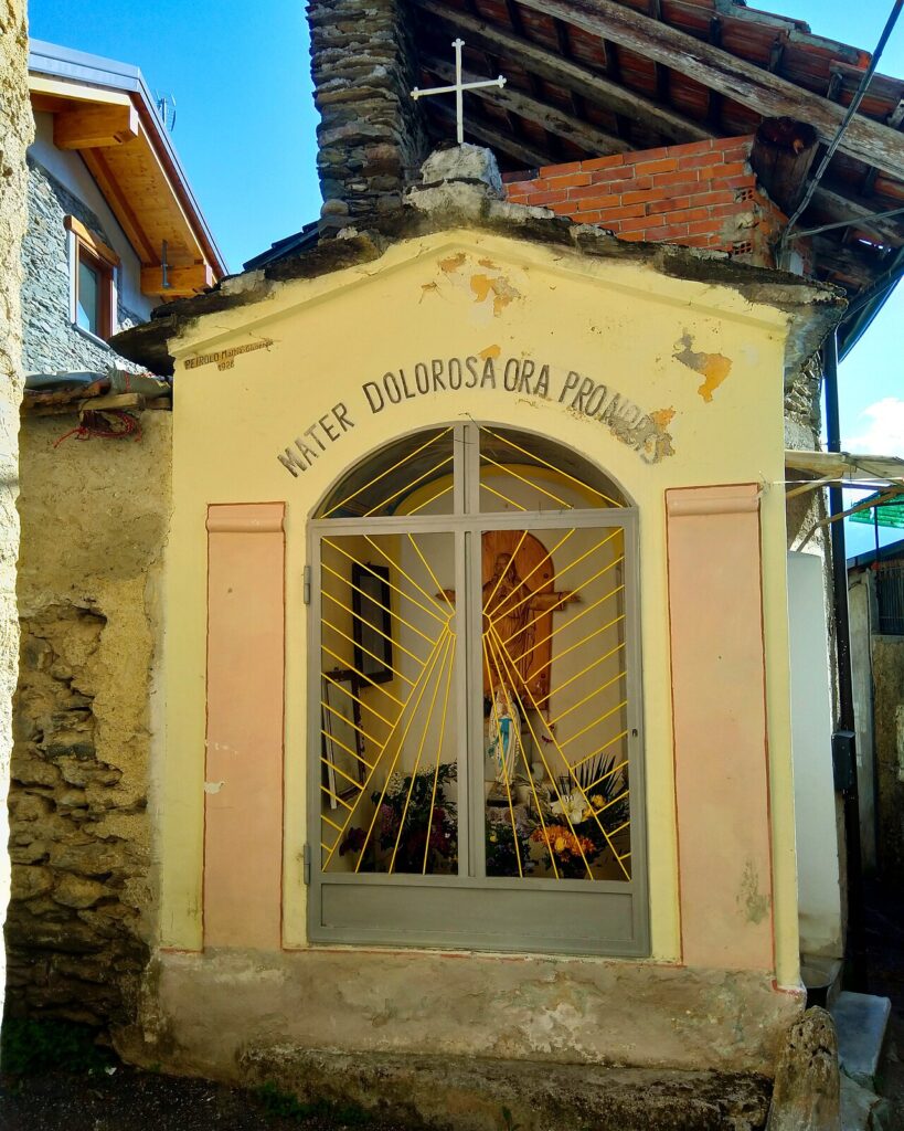
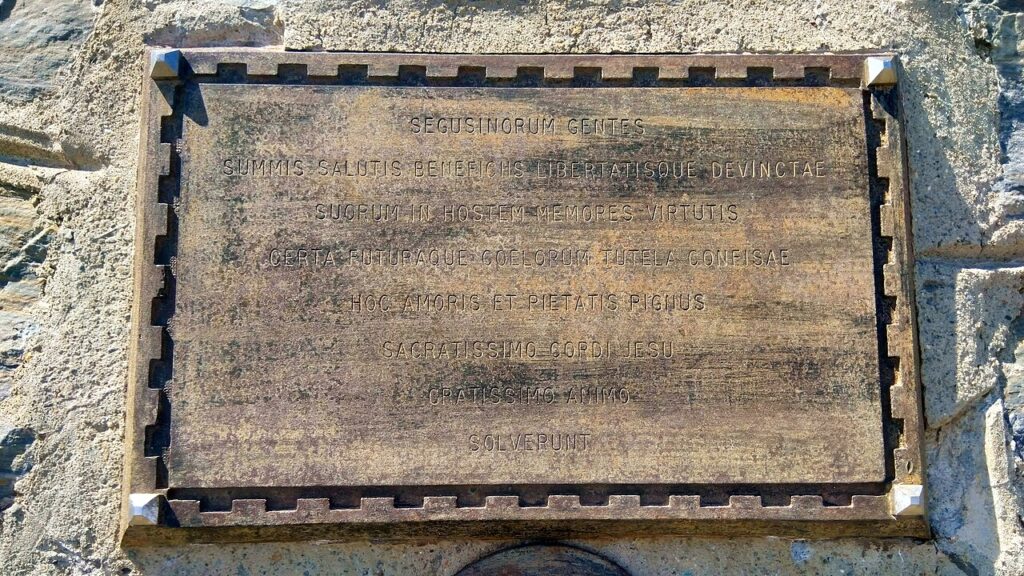
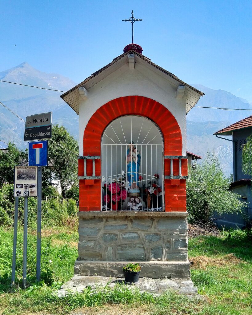
📷 Photo Gallery — Meana di Susa
In Piedmont More villages to discover
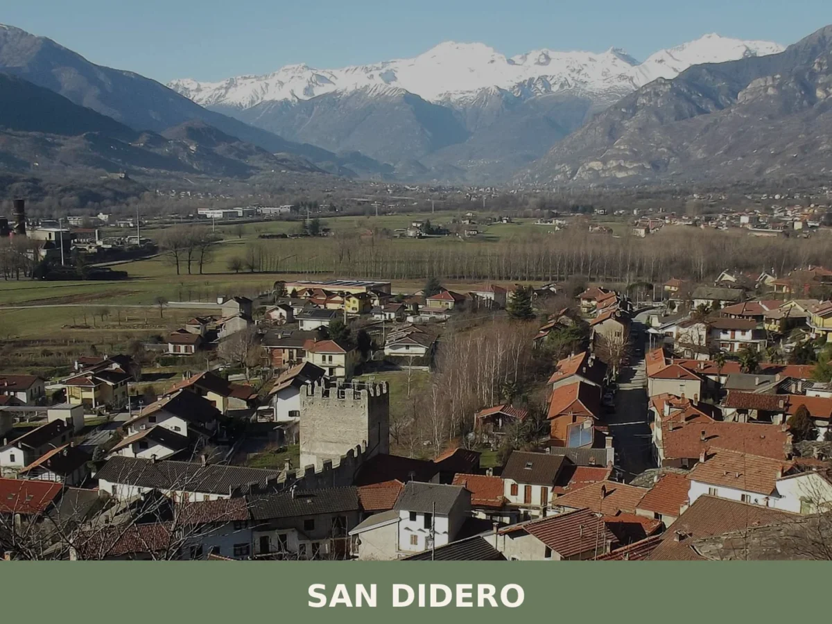
San Didero
Mountain
Population 497. A small Alpine comune with Roman-era roots, a medieval church and a restored casaforte on the Via Francigena pilgrimage route.
Perosa Canavese
 Plains
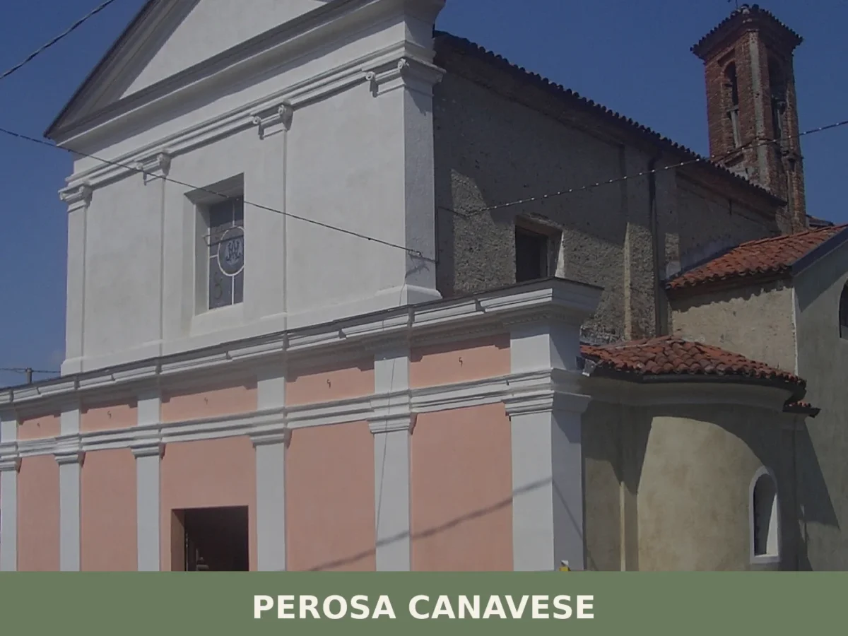
499 residents, a tower-gate carved into the village coat of arms, and a cedar imported from Morocco in 1820. Perosa Canavese rewards a careful visit.
Carema
Mountain
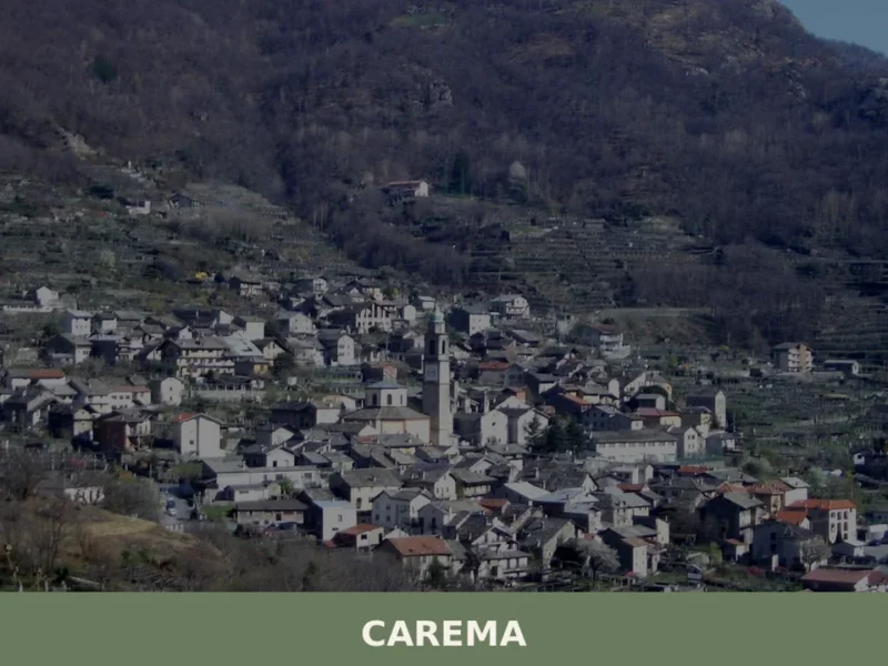
Scopri Carema borgo medievale: un gioiello del Piemonte tra vigneti storici, torri antiche e tradizioni millenarie. Visita questo angolo unico d'Italia!
Arborio
Plains
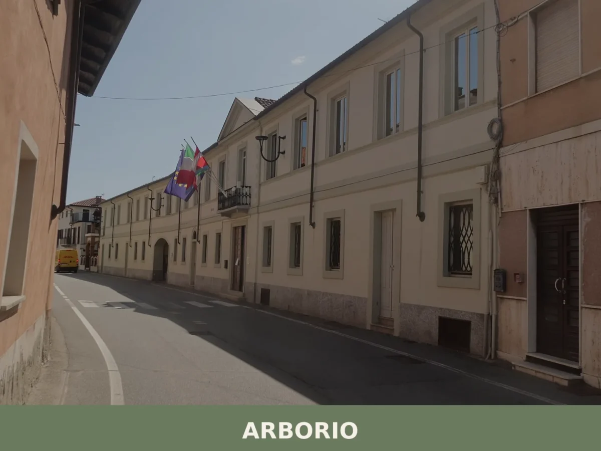
Arborio is a comune of around 850 inhabitants in the province of Vercelli, Piemonte, famed for the rice variety that carries its name and for a recorded history stretching back to the year 999.
Rubiana
Mountain
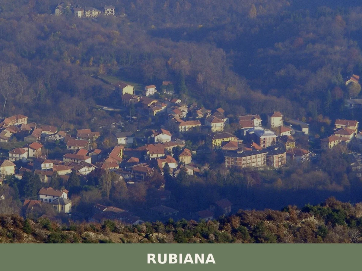
Population 2,516. Rubiana sits in a mountain amphitheatre at 640m altitude, with documented origins in a 1029 charter and a landscape shaped by Celtic settlement and 18th-century pilgrimage.
Barbania
 Hills
Hills
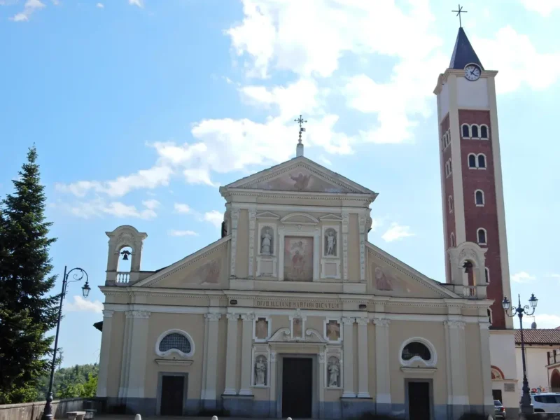
What to see in Barbania: 5 attractions in this Piedmontese village, from the parish church to the castle. Discover the complete guide to plan your visit.

San Benedetto Belbo
Hills
145 residents, one literary trail, one medieval monastery legacy. San Benedetto Belbo rewards slow travellers with Fenoglio's landscape and Langa hilltop views.
San Sebastiano da Po
Hills
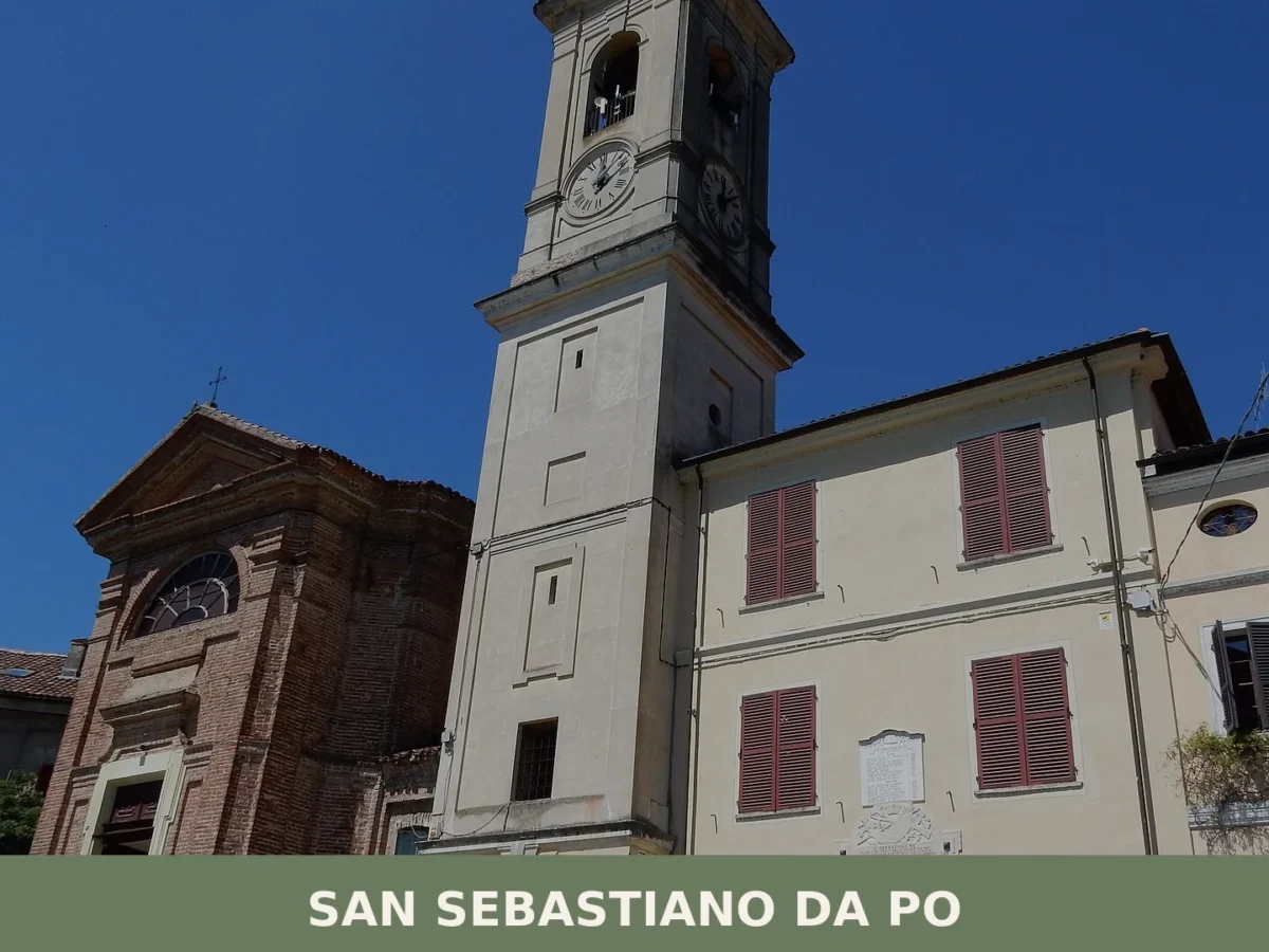
1,883 residents, 175 metres altitude. A small commons caught between two dynasties, where medieval councils gathered in parish chapels and barges crossed the Po.
Mathi
Hills
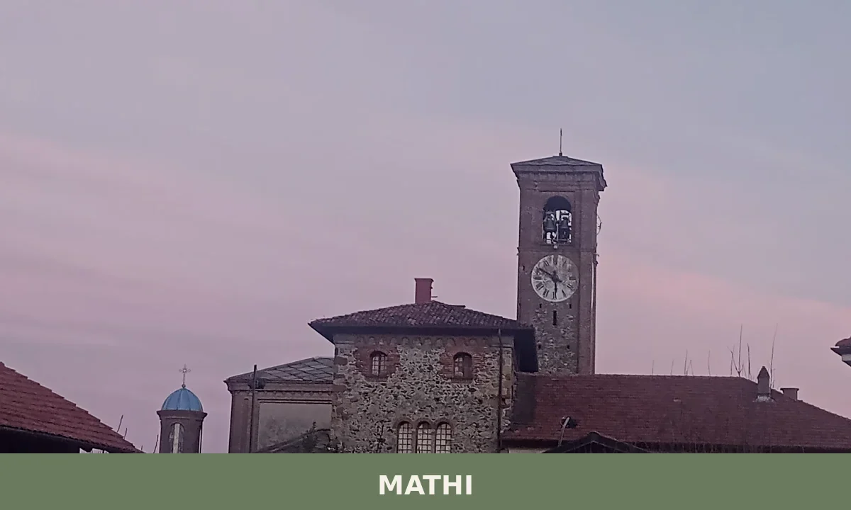
3,729 residents, a Benedictine tower still standing behind the parish church, and an industrial paper mill story linked to Don Giovanni Bosco. Mathi rewards those who look closely.
Loranzè
Plains
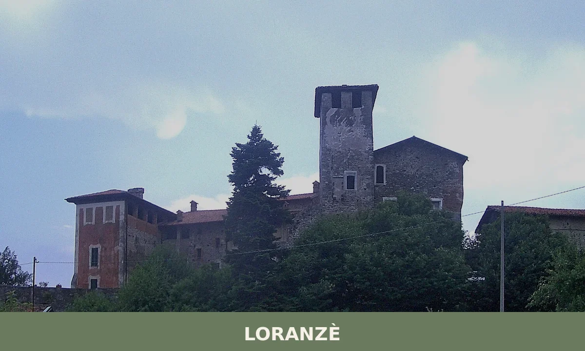
Home to around 1,200 residents, Loranzè draws visitors with its 11th-century Castel Rosso and a documented medieval lineage tied to the counts of San Martino.

🏡 Know Meana di Susa better than we do?
If you’re a local or have been there, your knowledge matters: add what’s missing or fix a detail on this page.