


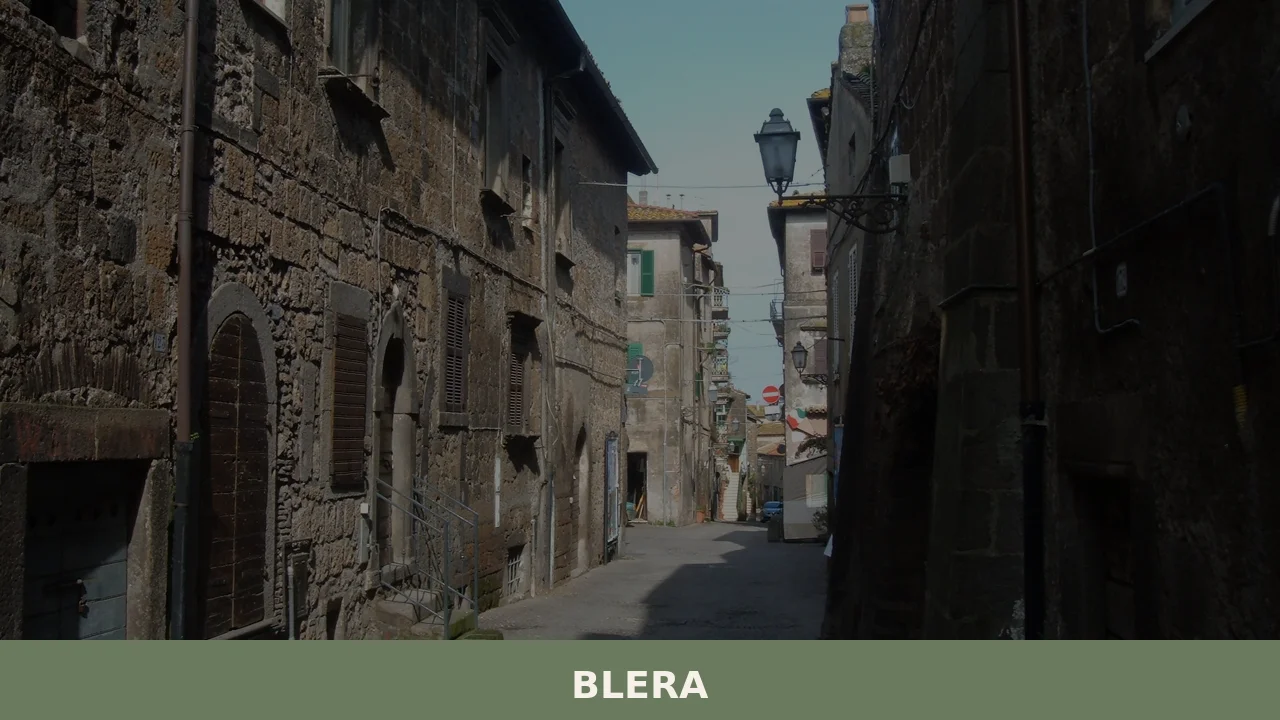

Blera is a 2,886-inhabitant hill town in the Province of Viterbo, perched on a tufa spur at 270 metres and layered with Etruscan, Roman and medieval heritage along the ancient Via Clodia.
Discover Blera
Blera is a hilltop comune of 2,886 residents in the province of Viterbo, Lazio, sitting at 270 metres above sea level on a tufa plateau shaped by erosion valleys, approximately 65 kilometres north of Rome. Classified as an internal hill settlement, it covers an area of 92.78 sq km and is reached via the ancient route of the Via Clodia, the consular road that once connected Rome to Cosa and whose trace still defines the character of the surrounding landscape. The town’s patron is San Vivenzio, honoured each year on 11 December, and its citizens are known as blerani.
Few places in northern Lazio wear their layered past as plainly as this one: Etruscan rock-cut tombs ring the plateau, two Roman bridges from the Republican age still span the local streams, and a civic museum named after a Swedish king preserves finds that span millennia of continuous habitation. Blera village in Lazio is, above all, a destination for travellers who want to read history directly from the landscape rather than from a glass case — where the necropoli of San Giovenale and Terrone, the medieval churches, and the silhouette of Castello Torlonia together form a single open-air document of a town that has been, in turn, Etruscan, Roman, episcopal, and feudal before becoming part of unified Italy in 1870.
Blera village in Lazio: history and origins
Blera is an ancient settlement in the Viterbo province of Lazio whose origins reach back to around the eighth and seventh centuries BC, as evidenced by the extensive necropoli surrounding the town, and which went on to flourish as an Etruscan centre, a Roman municipality, a medieval bishopric, and finally a feudal possession before passing to the Papal State until Italian unification in 1870.
The town’s most significant early period was the Etruscan era, roughly from the seventh to the fifth century BC, when Blera developed under the influence of Tarquinia and later Cerveteri into a prosperous crossroads linking those coastal cities to inland centres such as Norchia, Tuscania, and Volsinii. Its importance carried into the Roman Republican and Imperial ages, when the ancient Via Clodia — a consular road connecting Rome to Cosa — passed directly through it. At that time Blera held the rank of Municipium with its own magistrates, and several mausolea and remains of rural villas still dot the surrounding countryside. Two Roman bridges, traditionally dated to the first and second centuries BC respectively, survive as reminders of that era.
Blera was among the earliest dioceses of the region, with bishops attested from 457 until 1093, when it was merged with the diocese of Toscanella. Tradition identifies San Vivenzio as its first bishop and patron. The town is also recorded as the birthplace of Pope Sabinianus, the sixty-seventh bishop of Rome, who held the papacy from 604 to 606. In 739 Blera was seized by the Lombard king Liutprand, and it suffered destruction by King Desiderius in 772. From the thirteenth to the fifteenth century it belonged to the Prefetti di Vico family, and after their line ended it was granted as a fief by Pope Boniface IX to the Anguillara counts around 1400. Following a series of feudal changes it passed definitively to the Camera Apostolica from 1572, remaining under papal governance until 1870.
Scholarly interest in Blera intensified from the nineteenth century onward. The site was described in studies on Etruscan civilisation, and in 1914 it attracted a German archaeological mission. Around the mid-twentieth century, the Swedish Institute of Classical Studies — with the personal involvement of King Gustav VI Adolf of Sweden — undertook systematic investigations at San Giovenale and Luni sul Mignone, leaving a lasting mark on the town’s cultural identity and lending the king’s name to the local civic museum.
Tuff Plateaus, Etruscan Tombs and Sacred Buildings in Blera
Blera’s main sites for visitors are its rupestrian necropolises, the civic museum named after a Swedish king, several historic churches, and two castles — all set across a tuff plateau at the confluence of two stream valleys.
Necropoli Rupestri di San Giovenale e Terrone
The ancient settlement occupied a tuff spur where the Biedano torrent and the Rio Canale meet. Around this elevated plateau, an extensive rupestrian necropolis spreads across both the slopes of the plateau and the surrounding valleys. The site sits along the route of the old Via Clodia and documents occupation from the Etruscan period onwards. Systematic archaeological study of the area, including the nearby proto-historic and Etruscan villages of San Giovenale and Luni sul Mignone, was carried out around the mid-twentieth century with the direct involvement of the Swedish Institute of Classical Studies.
Museo Civico “Gustavo VI Adolfo di Svezia”
The civic museum bears the name of the Swedish king who participated in archaeological research in the area. Its thematic section titled Il Cavallo e l’Uomo (The Horse and Man), inaugurated in 2002, was developed through collaboration between archaeologists and cultural anthropologists, with the aim of documenting and preserving the historical relationship between humans and horses in this territory.
Churches
Three churches are present within the commune: the church of Santa Maria Assunta in cielo e San Vivenzio, the church of Santa Maria del Suffragio, and the church of San Leonardo. The patron saint of Blera, San Vivenzio, traditionally identified as the town’s first bishop, is also depicted on the municipal standard in pontifical vestments.
Castello Torlonia and Castello di San Giovenale
Two castles are recorded within the commune’s territory: Castello Torlonia and the Castello di San Giovenale. No further architectural detail is available in the current sources.
Food and Wine from the Blera Territory and the Viterbo Province
Blera sits within a stretch of northern Lazio where certified products from the broader Viterbo province include Canino extra-virgin olive oil (DOP), Castagna di Vallerano (DOP), Asparago verde di Canino (IGP), and the prized Abbacchio Romano (IGP), a milk-fed lamb recognised across the region. No food product is certified exclusively to the Blera commune itself, but the surrounding Maremma laziale and Etruscan hill country provide a rich agricultural backdrop that shapes what reaches local tables.
On the wine side, the territory falls within reach of several denominations rooted in the Viterbo area, notably Aleatico di Gradoli (DOC) and Colli Etruschi Viterbesi (DOC), alongside the IGT designations Colli Cimini and Costa Etrusco Romana. Carciofo Romanesco del Lazio (IGP) and Agnello del Centro Italia (IGP) complete a picture of certified quality that, while provincial rather than strictly local, reflects the traditions of the hills and valleys around Blera.
Among less formalised local customs, the area shares a broader Lazio tradition of artisan liqueurs — including nocino, fragolino and mistrà — which may be encountered at small producers in the province, though these should be regarded as regional rather than Blera-specific specialities.
Getting to Blera and Planning Your Visit to This Etruscan Hill Town
Blera is best reached by car along the ancient Via Clodia corridor in northern Lazio, sitting at roughly 270 metres above sea level in the Viterbo province, approximately 65 km north of Rome; spring and early autumn offer the most comfortable conditions for exploring its tufaceous gorges and open-air archaeological sites. The town has no dedicated railway station, so a private vehicle or local bus connections via Viterbo are the practical options for most travellers.
From Rome, the A1 motorway towards Florence with an exit at Vetralla, followed by local roads northward, is the most direct approach. Viterbo itself, the provincial capital, lies around 20 km to the north and serves as a convenient base with a wider range of accommodation. The feast day of San Vivenzio on 11 December draws visitors for the patronal celebrations, while the warmer months are better suited to walking the necropoli trails and the sections of the Cammino di San Michele that pass through this corner of Lazio.
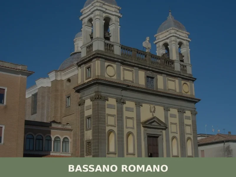
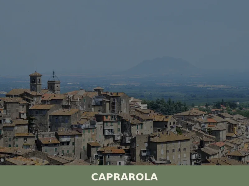
The surrounding area rewards those who combine Blera with nearby villages. Capranica and Bassano Romano lie within easy driving distance to the south and east respectively, making a coherent day-trip circuit across the Etruscan hill country feasible. Allow at least a full day in Blera itself to visit the Museo Civico, walk to the rupestrian necropoli and cross the ancient bridges that survive from the Roman era of the Via Clodia.
| Departure | Distance | Time |
|---|---|---|
| Roma | approx. 65 km | approx. 1 h – 1 h 15 min |
| Viterbo | approx. 30 km | approx. 35 min |
| Tarquinia | approx. 40 km | approx. 45 min |
| Tuscania | approx. 20 km | approx. 25 min |
These practical references help organise the journey clearly, while the village itself is best understood slowly and on foot once you arrive.
Frequently asked questions about Blera
How do I get to Blera from Rome?
Blera is approximately 60 kilometres north of Rome. By car, take the A1 motorway northbound and exit at Vetralla, then follow the SS2 Cassia and branch roads toward Blera; alternatively, approach via the historic Via Clodia. There is no direct train service to Blera; the nearest railway stations are Capranica-Sutri and Vetralla, both on the FL3 Rome–Viterbo line, from which you would need a taxi or local bus connection.
When is the best time to visit Blera?
Spring (April–May) and early autumn (September–October) offer mild temperatures ideal for exploring the tufa plateau and outdoor necropoli. Summer is warm but manageable at 270 metres altitude. A particularly atmospheric time to visit is around 11 December, when Blera celebrates its patron saint San Vivenzio with local religious ceremonies and community festivities, giving visitors an authentic glimpse into the town's traditions alongside its historical landmarks.
Is there parking available in Blera?
Blera's historic centre sits on a tufa plateau and its road access is limited, as is typical of hilltop Lazio villages. Visitors arriving by car are advised to park at the perimeter of the old town and continue on foot. The compact size of the settlement — covering roughly 92 square kilometres of municipal territory but with a small historic core — means most points of interest are reachable within a short walk once you have parked.
How long should I plan to spend in Blera?
A focused half-day visit of three to four hours is sufficient to walk the historic centre, view the exterior of Castello Torlonia, and visit the civic museum. To explore the surrounding Etruscan necropolises such as San Giovenale and Terrone, the Roman bridges, and the wider tufa landscape on foot or by bicycle, plan for a full day. Combining Blera with nearby Viterbo or Tarquinia makes for a rewarding two-day itinerary in northern Lazio.
Are there agritourism or accommodation options near Blera?
The Viterbo province surrounding Blera has an established agritourism network, and several farm stays and B&Bs operate within the municipality and its immediate surroundings. Given the village's small population of 2,886, accommodation options are limited inside the historic centre itself; visitors preferring a wider choice of hotels and services may base themselves in Viterbo, roughly 25 kilometres away, and make Blera a day trip along the Via Clodia corridor.
Nearby Villages near Blera
In Lazio More villages to discover
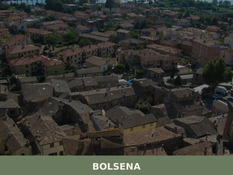
Bolsena
 Hills
Hills
 Lake
Lake
Bolsena is a hilltop town of 3,690 residents in the province of Viterbo, Lazio, rising above the shores of Lake Bolsena with a history stretching from Etruscan origins to medieval pilgrimage.
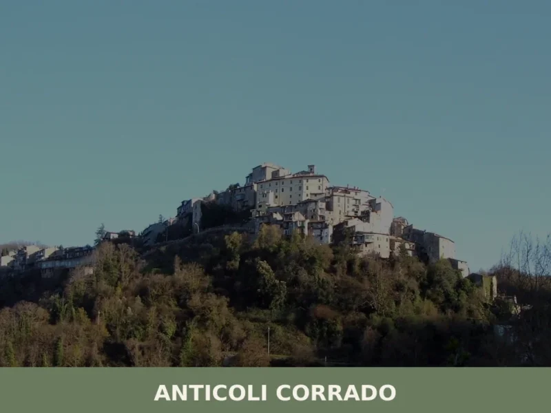
Anticoli Corrado
Hills
Anticoli Corrado is a hilltop comune in the Metropolitan City of Rome, set at about 524 metres above sea level in the inner uplands of Lazio, with a civic museum of modern and contemporary art holding
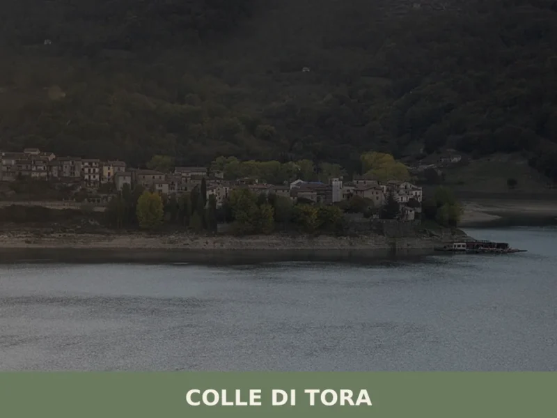
Colle di Tora
Hills
Lake
What to see in Colle di Tora: a village at 542 m on Lake Turano with 381 residents, a medieval centre and 3 PAT-certified products. Plan your visit today.
Belmonte in Sabina
 Mountain
What to see in Belmonte in Sabina: a hilltop village at 756 m in Rieti province with 644 residents. Explore the medieval centre, PAT guanciale and cacio fiore cheese. Plan your visit now.
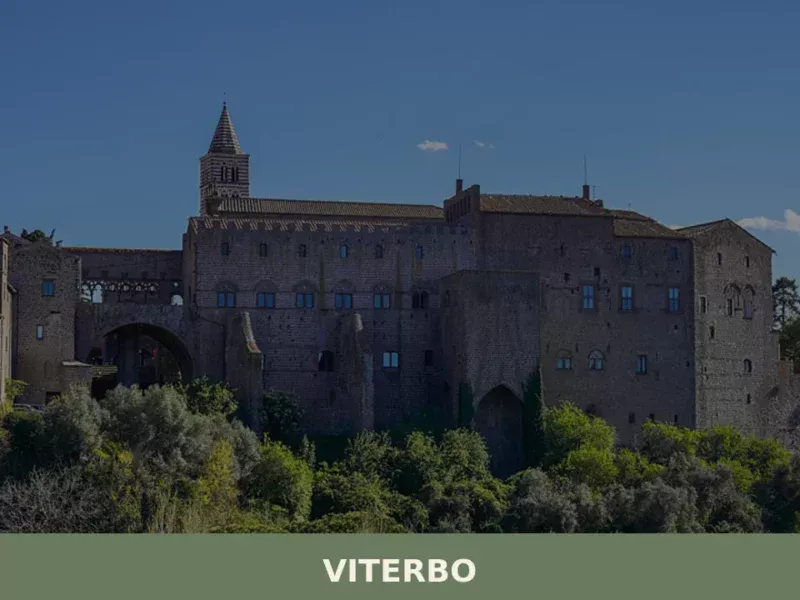
Viterbo
Hills
What to see in Viterbo: Palazzo dei Papi, San Pellegrino, Terme del Bullicame and the UNESCO festival of Santa Rosa. Practical guide with info on how to get there and when to visit.
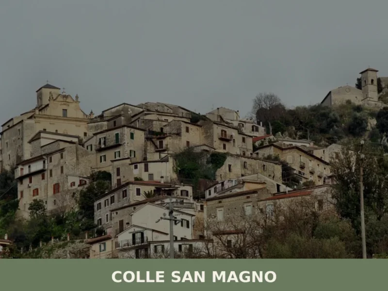
Colle San Magno
Hills
Colle San Magno is a mountain comune in the province of Frosinone, Lazio, at 534 metres, known for its Museo Vivo della Memoria and its position above the Liri valley.
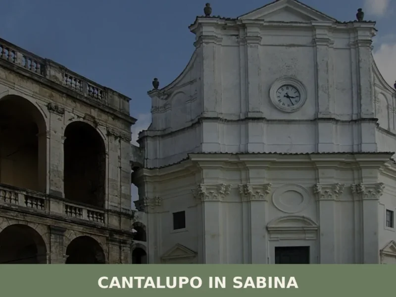
Cantalupo in Sabina
Hills
Cantalupo in Sabina is a medieval hill village in the Province of Rieti, Lazio, whose fortified origins date to at least 1037 and whose historic centre still reflects centuries of feudal heritage.

Casperia
Hills
What to see in Casperia, a hilltop village at 397 m in Rieti province: medieval centre, 3 PAT-certified products including guanciale. Plan your visit and where to stay.
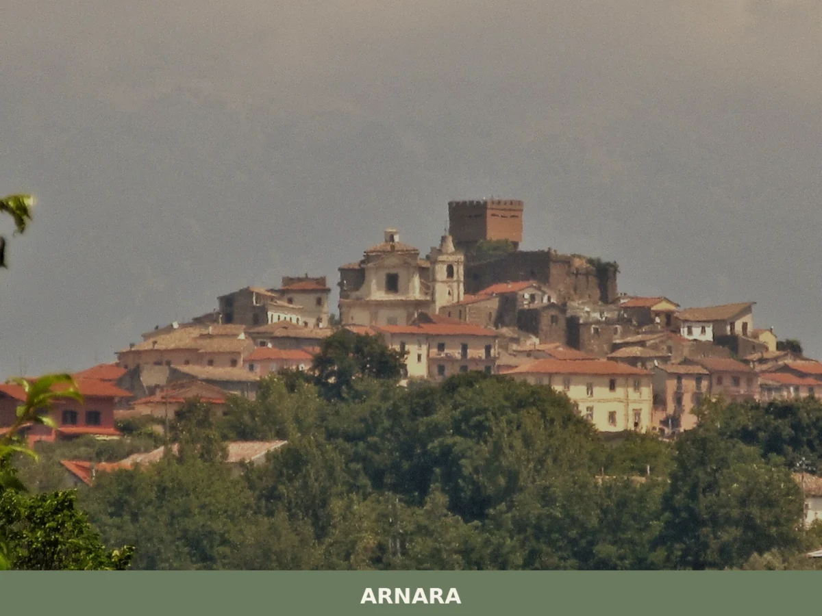
Arnara
Hills
What to see in Arnara, Lazio, Italy: medieval castle, Sacco Valley views at 250 m altitude, local food traditions. Discover top attractions and how to get there.
Labro
Lake
Mountain
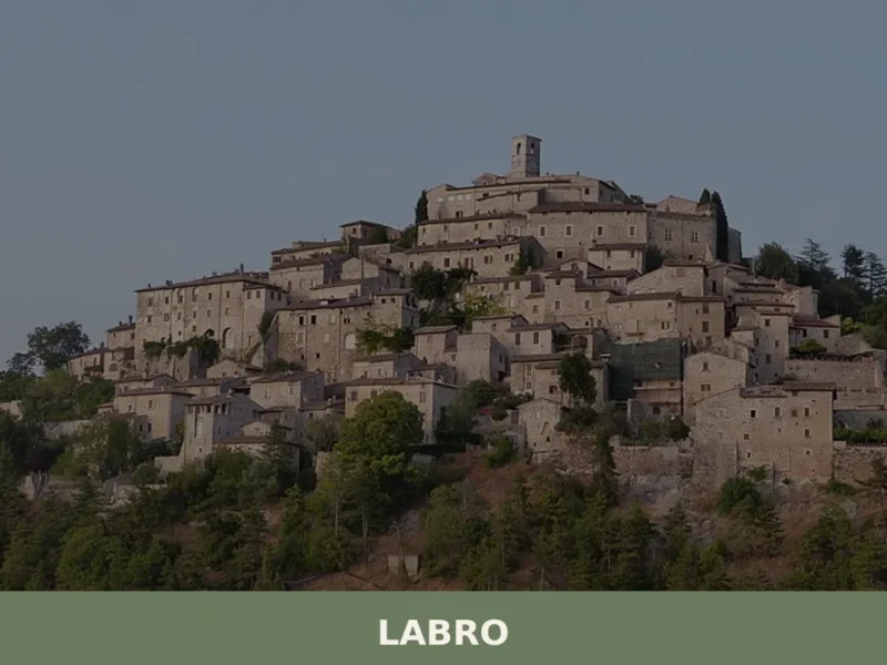
What to see in Labro: medieval castle, Lake Piediluco views and PAT-certified guanciale in a 360-person village at 628 m. Plan your visit to this Rieti province gem.
🏡 Know Blera better than we do?
If you’re a local or have been there, your knowledge matters: add what’s missing or fix a detail on this page.