


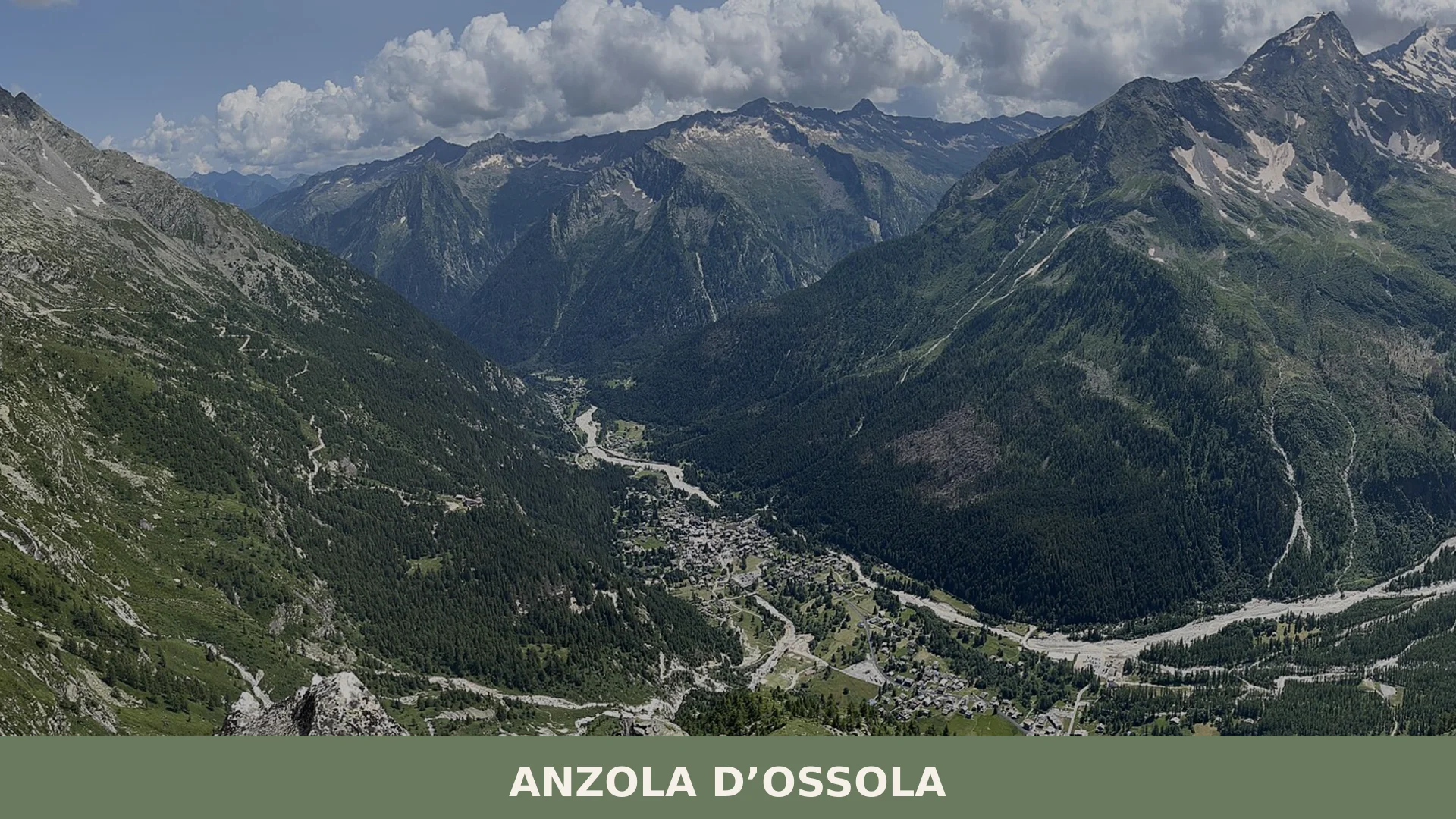
Anzola d’Ossola
 Mountain
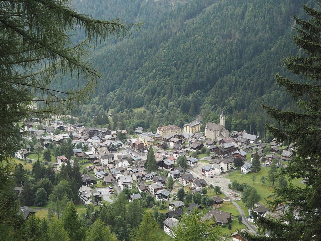
Macugnaga is a Walser mountain commune in Verbano-Cusio-Ossola, Piemonte, set at the head of the Valle Anzasca beneath the 2,600-metre eastern wall of Monte Rosa.
Discover Anzola d’Ossola
Macugnaga is a mountain commune in the Province of Verbano-Cusio-Ossola, in the Piedmont region of northern Italy, occupying the uppermost stretch of the Valle Anzasca at elevations ranging from 946 to 210 metres above sea level — the greatest altitudinal range of any municipality in Piedmont. It sits directly beneath the East Face of Monte Rosa, a wall rising some 210 metres over a width of roughly three kilometres, and is home to around 378 inhabitants spread across a series of distinct hamlets, including the municipal seat of Staffa and the older Walser nucleus of Dorf.
Its origins date to the second half of the thirteenth century, when settlers from the Swiss Saas valley crossed the Monte Moro pass and founded a permanent colony whose language, building traditions, and place names have survived into the present day — making it one of the most tangible living examples of Walser culture on the Italian side of the Alps. The commune’s political history moved in step with the wider Ossola: annexation to the Kingdom of Sardinia in 1743, incorporation into the Province of Novara after Italian unification, and finally placement within the newly created Province of Verbano-Cusio-Ossola in 1992.
Macugnaga: history and origins
Macugnaga’s history begins in the second half of the thirteenth century, when Walser settlers — a population originating from the Swiss Saas valley — crossed the Monte Moro pass and established the first permanent colony in the high Valle Anzasca, shaping the area’s architecture, culture, and language in ways still visible today.
From a political standpoint, Macugnaga followed the broader fortunes of the Ossola region: after periods under Milanese, Spanish, and Austrian dominion, the territory was annexed to the Kingdom of Sardinia in 1743 through the Treaty of Worms. Administratively, it was placed within the Province of Pallanza and the Mandamento di Vogogna, which was dissolved in 1818, with jurisdiction then passing to the new mandamento of Bannio. Following Italian unification, the Province of Ossola became a Circondario incorporated into the Province of Novara, an arrangement that lasted until 1992, when the Province of Verbano-Cusio-Ossola was established.
The Walser settlers left a profound imprint on the built environment. Their traditional houses, many of which survive in well-preserved condition, feature stone foundations, interior structures entirely of larch wood, distinctive balconies, and double-pitched roofs covered with local stone slabs known as piode or, less commonly, larch shingles. The oldest soapstone stoves — called Òòfe — still found in these homes date back to the sixteenth century. The community’s language, known as titsch, is a form of High German whose vocabulary has remained largely unchanged since the medieval period and is still spoken by a portion of the population.
Churches, Walser Architecture, and Alpinist Heritage in Macugnaga
Macugnaga’s built heritage spans more than seven centuries and includes a medieval church complex at Dorf, multiple oratories and parish churches distributed across its eleven fractions, an open-air ensemble of restored Walser houses, two mountain museums, and a declared national monument at Pecetto Superiore — all set within a commune whose territory rises from 946 to 210 metres.
The Dorf and the Chiesa Vecchia
The original Walser settlement, known in the local language as z’ Duorf, survives between the hamlets of Pecetto and Staffa. Its focal point is the Chiesa Vecchia, a church dating to the fourteenth century, accompanied by a monumental linden tree estimated at more than 700 years old. The adjacent cemetery contains a section dedicated to alpinists lost on the Monte Rosa, notable for its extent.
Walser Domestic Architecture
Throughout the fractions, Walser houses share consistent construction logic: stone foundations carry superstructures and interiors entirely in larch timber, with characteristic balconies and a two-pitch roof covered in local stone slabs called piode, or occasionally in larch shingles. Each house traditionally contained a soapstone stove, the Òòfe, whose surface typically bears the construction date of the building; surviving examples go back to the sixteenth century. The Museo “Alts Walserhuus van zer Burfuggu” in the Borca fraction preserves one representative example of this building type.
Casa Pala, Pecetto Superiore
Dating to the late sixteenth century, this Walser residence at Pecetto Superiore has been declared a national monument. No further architectural description is provided by the sources.
Parish Church of Santa Maria Assunta, Staffa
Construction of the main parish church at Staffa began toward the end of the eighteenth century. Its bell tower was added in 1936.
Church of the Beata Vergine delle Nevi, Borca
This church, also referred to as ad Nives, dates to 1653. An oratory dedicated to the same dedication is listed among the fraction’s religious buildings.
Church of San Giovanni Battista, Pestarena
A seventeenth-century church, enlarged and restructured in 1684. A cemetery was added to it in 1789. In 1950 it was detached from the parish of Santa Maria Assunta and established as a separate parish church.
Further Oratories
- Oratorio di San Rocco, Motta fraction
- Oratorio di Santa Maria Addolorata, Isella fraction
- Oratorio di San Bartolomeo, Stabioli fraction
- Chiesa della Madonna dei Ghiacciai, Pecetto fraction
Museo della Montagna, Staffa
Founded in 1972 and located in Via ai Prati at Staffa, the museum documents the alpinist history associated with the Monte Rosa massif and in particular with the east face, through a structured documentary itinerary.
The East Face of Monte Rosa
Measuring roughly three kilometres wide with a vertical rise of 210 metres, the east face is the defining geographical and cultural presence of Macugnaga. Among the climbers documented as having ascended it are Matthias Zurbriggen, Julius Kugy, Lucien Devies, Jacques Lagarde, Alessandro Gogna, Ettore Zapparoli, Hermann Buhl, Kurt Diemberger, Patrick Gabarrou, and Silvio Mondinelli. In 1889 the priest Achille Ratti, later Pope Pius XI, made an ascent of the Dufour summit of Monte Rosa from this side.
Rifugio Zamboni-Zappa
A mountain refuge serving the approaches to the east face. No further details are provided by the sources.
Miniera d’oro della Guia, Borca
A gold mine located in the Borca fraction. No further details are provided by the sources.
Walser Traditions and the Flavours of the Anzasca Valley
Macugnaga and the upper Valle Anzasca are not associated with a single certified DOP or IGP product, but the broader Verbano-Cusio-Ossola province offers a honest alpine table shaped by centuries of mountain life — and in Macugnaga that life was distinctly Walser. The community that settled here from the Swiss valley of Saas in the second half of the thirteenth century brought with them an entire material culture that defined the local diet, rooted in pastoral and agricultural traditions developed in the high glacial basin.
The landscape — stretching from 210 metres up to the glaciers of the Monte Rosa massif — is one of summer pastures and clear torrents, conditions that historically supported cheesemaking and animal husbandry rather than cereal cultivation. The valley’s cold-climate agriculture and the Walser practice of self-sufficiency meant that preserved foods, dairy products and simple grain-based preparations formed the backbone of everyday eating. While no specific local product carries a certified designation recorded in the available sources, the mountain context of the Ossola valley system — with its network of alpine pastures drained by tributaries of the Anza torrent — places Macugnaga firmly within a broader tradition of high-altitude dairy and pastoral food culture that characterises this corner of Piedmont.
Planning your visit and getting there
Anzola d’Ossola can be reached easily from the lower Val Pellice and the Turin area. The practical distances and journey times below are kept concise on purpose, so the access information stays clear and consistent.
| Departure | Distance | Time |
|---|---|---|
| Domodossola | approx. 50 km | approx. 1 hour |
| Verbania | approx. 70 km | approx. 1 hour and 15 min |
| Arona | approx. 100 km | approx. 1 hour and 45 min |
| Milano | approx. 150 km | approx. 2 hours and 15 min |
These practical reference points are enough to plan the journey without overloading the text with unstable logistics. Once on site, the village is best understood slowly, on foot and in relation to the surrounding landscape.
Frequently asked questions about Anzola d’Ossola
What is the best time to visit Anzola d'Ossola?
Anzola d'Ossola is ideal for mountain enthusiasts year-round. Summer (June–September) offers warm weather perfect for hiking and outdoor activities. Winter transforms the area into a snow-covered landscape, appealing to alpine sports fans. The patron saint feast of San Tommaso on 21 December provides a festive winter atmosphere. Spring and autumn showcase pleasant temperatures and fewer crowds, making them excellent for trekking and photography.
How do I reach Anzola d'Ossola from major cities?
Anzola d'Ossola is located in the Verbano-Cusio-Ossola Province in Piedmont. The nearest major city is Domodossola. Access is primarily by car via regional roads through the Valle Anzasca. The closest train station is in Domodossola, connected to major Italian cities via the Milan–Domodossola line. From there, local buses or car rental provide onward transportation to the village.
What outdoor activities are available in Anzola d'Ossola?
The village serves as a gateway to mountain trekking in the Valle Anzasca and beneath Monte Rosa's iconic East Face. Hikers can explore CAI-marked trails, mountain biking routes, and alpine routes. Summer offers rock climbing opportunities on Monte Rosa. Winter enables snowshoeing and cross-country skiing. The dramatic landscape and elevation range make it ideal for adventure sports and nature photography.
Is Anzola d'Ossola part of the Walser cultural heritage?
Yes. Anzola d'Ossola exemplifies Walser culture, with origins tracing to thirteenth-century Swiss settlers from the Saas valley. The Walser people left a distinctive mark through language, traditional architecture, and place names still visible today. This makes the village one of the most authentic living examples of Walser heritage on the Italian Alpine slopes, offering cultural immersion for visitors interested in Alpine history.
How long should I plan to spend in Anzola d'Ossola?
A day visit allows exploration of the village and nearby hamlets, enjoying local architecture and scenery. A weekend stay (two to three days) enables moderate hiking excursions and deeper cultural discovery. For serious mountain trekking or climbing expeditions on Monte Rosa, plan five to seven days. Accommodation options in nearby Macugnaga support extended stays for base camp mountain adventures.
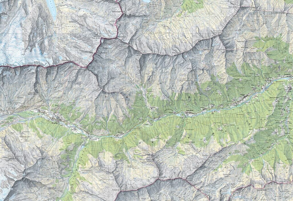
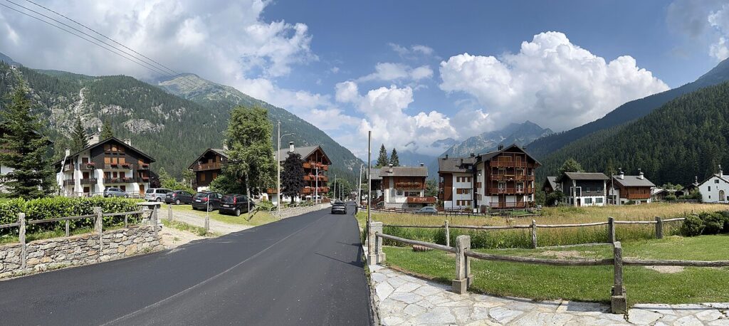
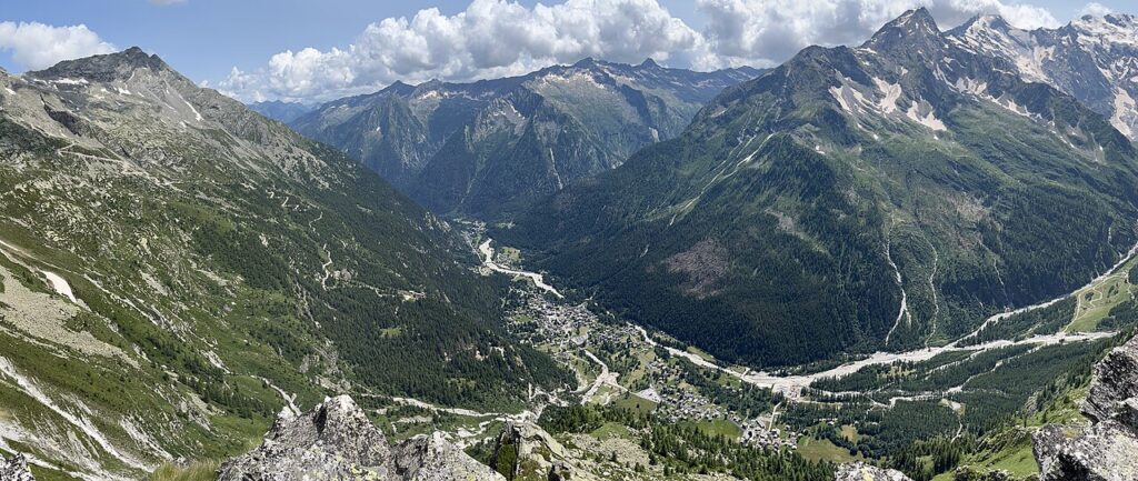
📷 Photo Gallery — Anzola d’Ossola
In Piedmont More villages to discover
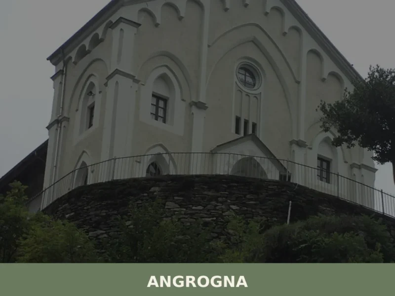
Angrogna
Mountain
What to see in Angrogna: Chanforan, the Ghieisa d'la Tana, Waldensian trails, historic hamlets and mountain cuisine. A complete guide to the village.
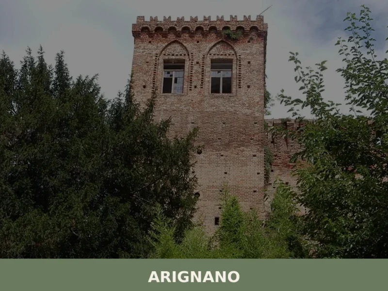
Arignano
 Hills
Hills
What to see in Arignano in Piedmont: castle, church, hill trails, traditional cuisine, and practical information for visiting the village at 321 m a.s.l.
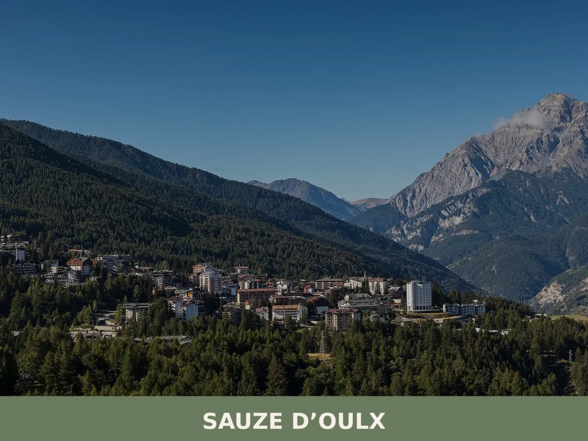
Sauze d’Oulx
Mountain
A mountain village of just over 1,000 residents at 1,509 metres altitude in the high Susa Valley. Winter sports and Alpine heritage define its identity.
Baldissero Canavese
Hills
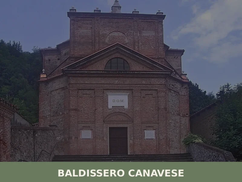
Baldissero Canavese has a population of 515 and stands at 392 metres on the hillside of the Canavese area, in the north-eastern corner of the Province of Turin, a short distance from the Piedmontese regional capital. The village is part of the Canavese settlement system, one of the historically densest areas in the region for […]
Avigliana
Hills
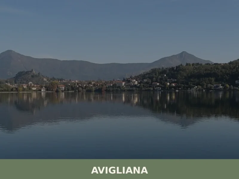
In 1092, a donation charter by Countess Adelaide of Susa mentioned for the first time the castrum Avillianae, a fortified settlement on the hill overlooking two moraine-origin lake basins in the lower Susa Valley. Anyone wondering what to see in Avigliana today will find an urban fabric preserving precise layers of history: thirteenth-century towers, Gothic […]
Carema
Mountain
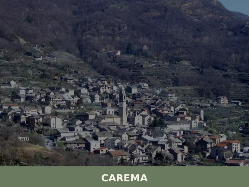
Scopri Carema borgo medievale: un gioiello del Piemonte tra vigneti storici, torri antiche e tradizioni millenarie. Visita questo angolo unico d'Italia!
Alessandria
 Plains
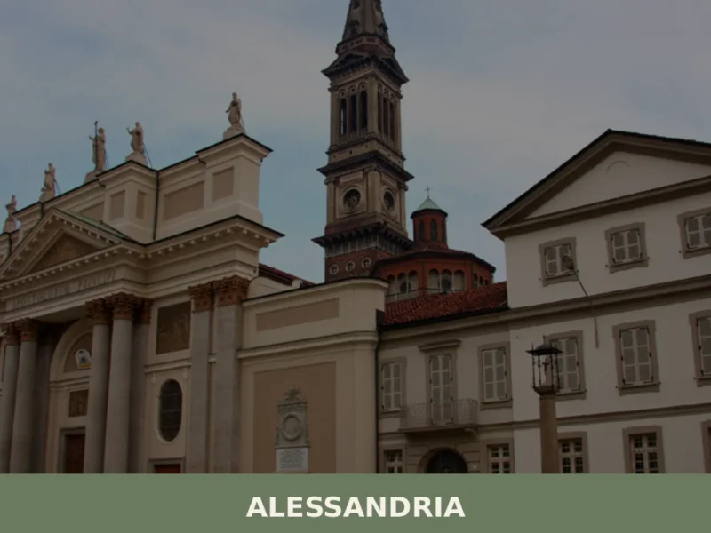
What to see in Alessandria: city at 95m in Piemonte with a military Citadel and Borsalino Museum. Explore 5 attractions, rabaton and Gavi DOCG wines.
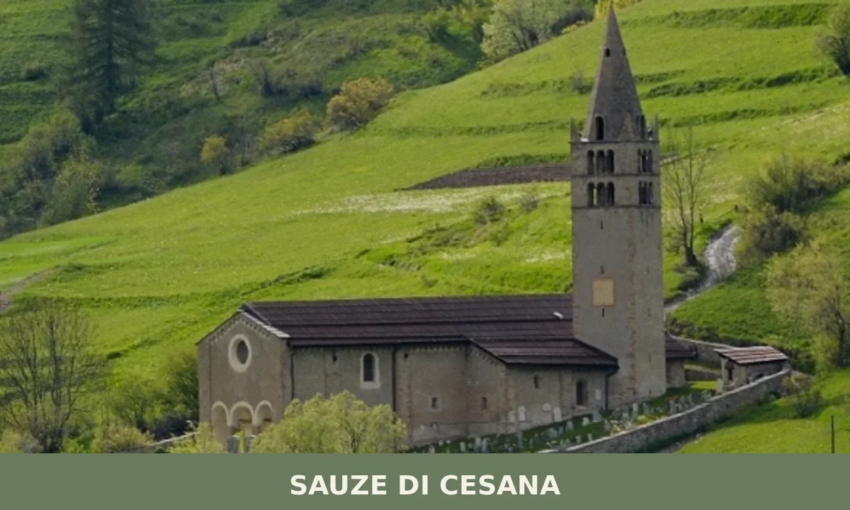
Sauze di Cesana
Mountain
Population 226. A high-altitude mountain village in Val di Susa where stone architecture and a century of territorial struggle have shaped identity more than monuments.
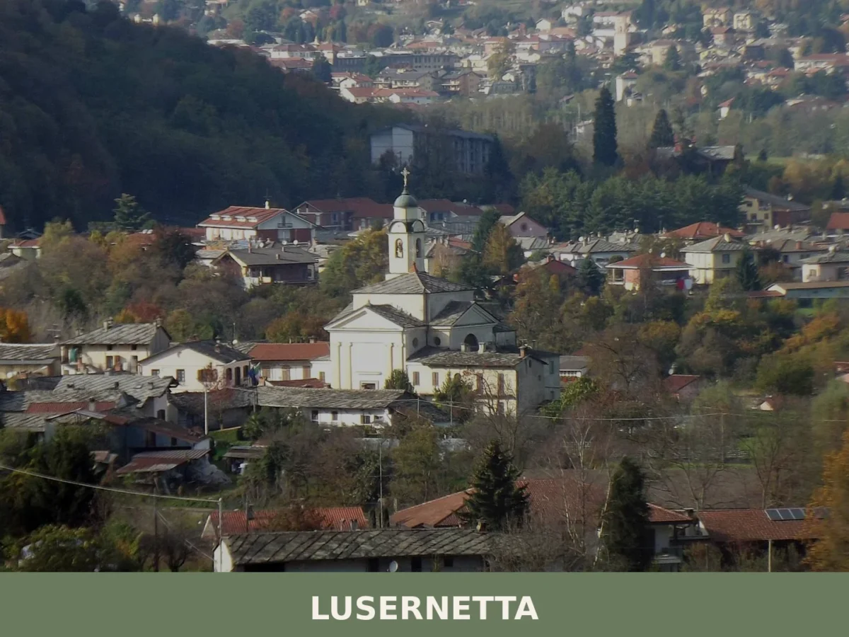
Lusernetta
Mountain
494 residents, one medieval chapel and a clear position on the right bank of the Pellice torrent. Lusernetta rewards visitors who look beyond the obvious Pinerolese routes.
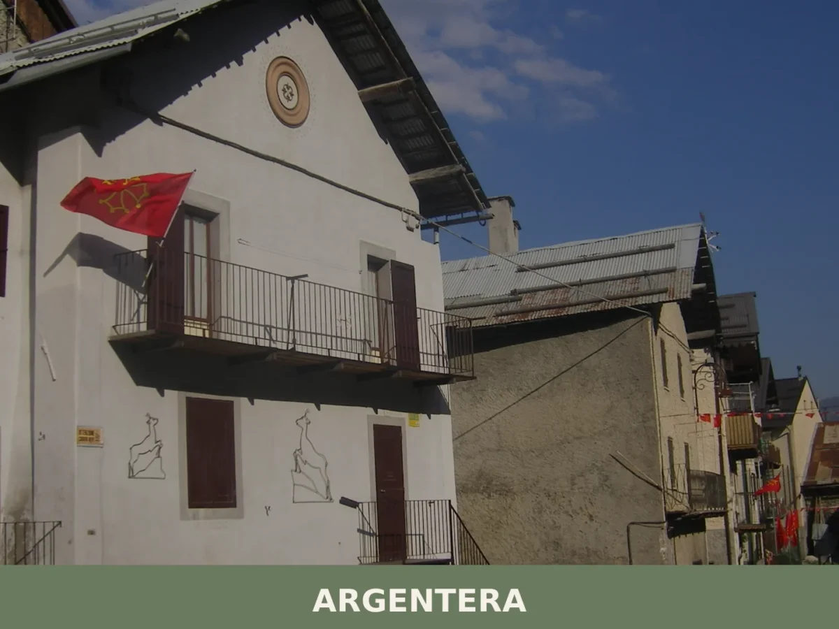
Argentera
Mountain
Argentera is a high-altitude mountain commune of 77 inhabitants in the upper Valle Stura di Demonte, Cuneo, at 1,618 metres above sea level, about 60 kilometres from Cuneo.


🏡 Know Anzola d’Ossola better than we do?
If you’re a local or have been there, your knowledge matters: add what’s missing or fix a detail on this page.