


Ateleta
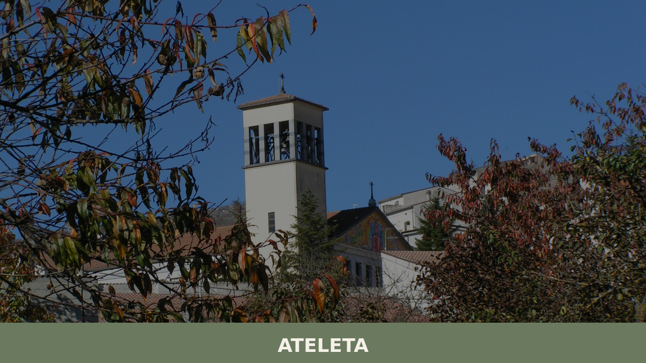
Morning fog lifts off the Alto Sangro valley in slow, deliberate sheets, revealing stone houses arranged along a ridge at over 750 metres above sea level. The air carries woodsmoke and the faint sound of a church bell marking seven o’clock. Ateleta, a village of 1,157 inhabitants in the province of L’Aquila, occupies a quiet […]
Discover Ateleta
Morning fog lifts off the Alto Sangro valley in slow, deliberate sheets, revealing stone houses arranged along a ridge at over 750 metres above sea level. The air carries woodsmoke and the faint sound of a church bell marking seven o’clock. Ateleta, a village of 1,157 inhabitants in the province of L’Aquila, occupies a quiet corridor between the Abruzzo Apennines and the broad plateaus that define this part of the region. If you are wondering what to see in Ateleta, the answer begins with slowing down — this is a place that rewards attention, not speed.
History of Ateleta
The origins of Ateleta reach back to the medieval period, when small fortified settlements dotted the mountainous interior of Abruzzo to control pastoral routes and defend against raids. The village’s name has been the subject of debate among local historians: some trace it to a Latin root connected to pastoral activity, while others suggest a pre-Roman origin linked to the Italic peoples — the Samnites and their neighbours — who inhabited these valleys long before the Roman conquest. What is certain is that Ateleta appears in medieval documents as a feudal holding, changing hands among various noble families across the centuries.
Like many villages in the province of L’Aquila, Ateleta’s fate was shaped by the transhumance economy — the seasonal movement of livestock between highland summer pastures and the lowland plains of Puglia. This practice, which persisted for centuries, determined trade routes, social structures, and even architectural forms. The village’s position along these corridors gave it modest but enduring significance.
The twentieth century brought hardship. Emigration depleted the population as younger generations left for cities or crossed the Atlantic. During the Second World War, the area suffered from its proximity to the Gustav Line, and the postwar decades saw further decline. Yet the village persisted, its stone fabric largely intact, its rhythms still calibrated to the seasons and the surrounding landscape.
What to see in Ateleta: 5 must-visit attractions
1. Chiesa Madre di San Michele Arcangelo
The parish church dedicated to Saint Michael the Archangel anchors the village centre. Its stone façade, rebuilt after earthquake damage over the centuries, is straightforward rather than ornate — a typical expression of Abruzzo’s mountain ecclesiastical architecture. Inside, look for devotional statues and the modest altarpieces that reflect centuries of local patronage.
2. The historic centre and stone houses
Walking the narrow lanes of Ateleta’s old quarter reveals masonry built from locally quarried limestone, doorways with carved lintels, and external staircases leading to upper-floor living spaces — a feature common across the Apennine villages of this province. The proportions are human-scale and unadorned, shaped by climate and economy rather than architectural fashion.
3. Monte Secine and the surrounding highland landscapes
The hills and plateaus surrounding Ateleta offer walking routes through beech forests and open grazing land. Monte Secine, accessible on foot from the village, provides wide views across the Alto Sangro valley. In autumn, the beech canopy turns copper and rust, and the only sounds are wind and distant cowbells.
4. Fontane e lavatoi (historical fountains and wash-houses)
Several stone fountains and communal wash-houses survive in and around the village, relics of a time when water management defined daily routines. These functional structures, often dating to the nineteenth century or earlier, are worth pausing at — they reveal how the village organised its most essential resource.
5. Proximity to the Abruzzo, Lazio and Molise National Park
Ateleta sits near the borders of the Abruzzo, Lazio and Molise National Park, one of the oldest protected areas in Italy and home to the Marsican brown bear, the Apennine wolf, and the chamois. The village serves as a practical base for accessing the park’s eastern trails without the crowds of more established gateway towns.
Local food and typical products
The cooking of Ateleta belongs to the broader pastoral tradition of the Alto Sangro — hearty, seasonal, built on what the mountains provide. Lamb and mutton remain central, prepared as arrosticini (small skewers grilled over embers) or slow-cooked with herbs. Polenta, lentils, and dried beans appear frequently, alongside handmade pasta shapes like sagne e fagioli. Pecorino cheese, aged in cool cellars, carries the grassy, slightly sharp flavour of sheep raised on mountain pastures. In autumn, foraged mushrooms and truffles from the surrounding woods enter the local diet.
There are no Michelin-starred restaurants here, and that is precisely the point. A handful of family-run trattorie and agriturismi serve meals that follow the calendar rather than a printed menu. Bread is often baked in wood-fired ovens, and cured meats — particularly sausages spiced with wild fennel or chilli — are prepared in winter according to methods passed down through generations. Ask for local wine or, better, a glass of Centerbe, the fierce herbal liqueur native to Abruzzo.
Best time to visit Ateleta
Late spring — May through mid-June — brings wildflowers to the surrounding meadows and comfortable temperatures for walking, with daytime highs around 18–22°C. The village is alive but unhurried, and the national park trails are passable without summer heat. Autumn, particularly October, offers a second ideal window: the beech forests change colour, the air sharpens, and local food traditions intensify around mushroom foraging and the slaughter season.
Summers are mild by Italian standards, with cool evenings requiring a jacket — a welcome contrast to the sweltering lowlands. Winters are cold and sometimes snowy, which suits travellers seeking solitude or proximity to the Aremogna ski area nearby. Local festivals, including patron saint celebrations in honour of San Michele Arcangelo, typically fall in late September and bring processions, communal meals, and a rare concentration of village energy. Check with the Abruzzo regional tourism board for updated event schedules.
How to get to Ateleta
By car, Ateleta is reached via the A25 motorway (Roma–Pescara), exiting at Cocullo or Sulmona and following the SS17 southward through the Sangro valley. From Rome, the drive takes approximately two hours (around 170 km); from Pescara, roughly ninety minutes. The roads are well-maintained but wind through mountain passes — allow extra time in winter for possible snow or ice.
The nearest train station with regular service is Sulmona, approximately 40 km to the north, connected to both Rome and Pescara on the regional Trenitalia line. From Sulmona, a car or local bus (ARPA service, limited frequency) covers the remaining distance. The closest major airport is Rome Fiumicino (approximately 200 km), though Pescara Airport offers a shorter transfer for those arriving on seasonal or charter flights.
More villages to discover in Abruzzo
Just a short drive south of Ateleta, the village of Alfedena occupies a position directly on the edge of the national park, with well-documented pre-Roman archaeological remains and a distinctive necropolis that attests to the deep Italic roots of this area. The two villages share a geographic and cultural axis along the Sangro valley, and visiting both in a single day is entirely practical.
Further north, in the direction of the Fucino plain, the village of Aielli has reinvented itself around contemporary mural art, offering a striking counterpoint to the quieter, more traditional character of Ateleta. Together, these villages illustrate the range of Abruzzo’s interior — from ancient pastoral economies to unexpected creative renewal — and reward travellers willing to move beyond the coastline.
Frequently asked questions about Ateleta
When is the patron saint of Ateleta celebrated and what is his name?
The patron saint of Ateleta is Saint Vitus, whose feast is celebrated on June 15th. It is a traditional celebration that typically includes religious services and moments of community gathering. It should not be confused with the feast of Saint Michael the Archangel, dedicated to the mother church of the village, which falls instead on September 29th.
Are there numbered CAI trails accessible from Ateleta?
The territory around Ateleta falls within the area of competence of the Sulmona CAI section. The Alto Sangro area is crossed by trails catalogued by the Italian Alpine Club, and the proximity to the Abruzzo, Lazio and Molise National Park — equipped with a well-marked official hiking network — makes the village a concrete starting point for documented excursions. For maps and updated trail numbering, it is recommended to consult directly the official PNALM website or the Sulmona CAI section.
Is Ateleta suitable as a day trip from Sulmona?
Yes. Sulmona is approximately 40 km from Ateleta and is reachable in about 40 minutes by car via the SS17 through the Sangro valley. A visit to the historic center of Ateleta requires two or three hours; combined with a walk towards Monte Secine or a stop in Alfedena, it can easily fill a full day. Sulmona has a railway station connected to Rome and Pescara, making it a practical logistical base.
Is there a ski area near Ateleta?
Yes. The article mentions proximity to the Aremogna ski area, which is located near Roccaraso, just a few kilometers from Ateleta. Aremogna is one of the most frequented ski resorts in the central Apennines, with alpine and cross-country ski slopes. This makes Ateleta a possible alternative base — quieter and less expensive — for those visiting the area in winter.
Nearby Villages near Ateleta
In Abruzzo More villages to discover
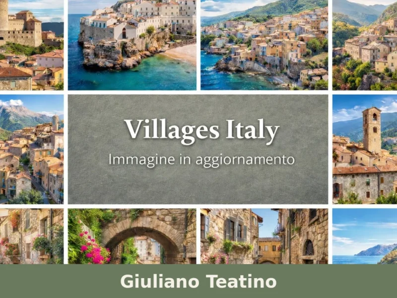
Giuliano Teatino
Giuliano Teatino is a small village in Abruzzo, in the province of Chieti. Discover its origins, monuments and how to visit: a practical guide to plan your trip.
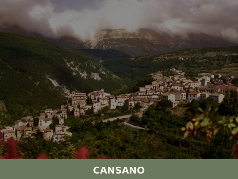
Cansano
A guide to Cansano in Abruzzo — its Roman archaeological site of Ocriticum, medieval stone centre, Majella trails, and pastoral food traditions at 835 metres.
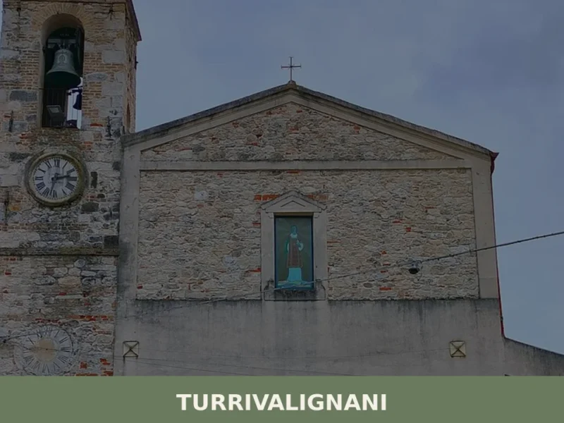
Turrivalignani
What to see in Turrivalignani? Discover the ancient village, the Church of San Nicola, and nature trails. Plan your visit to Abruzzo!
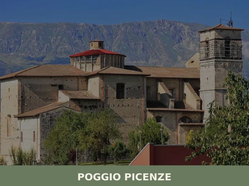
Poggio Picenze
What to see in Poggio Picenze, Italy: explore 5 top attractions at 760 m altitude, the Blues festival, and San Felice feast. Discover Abruzzo's limestone village.
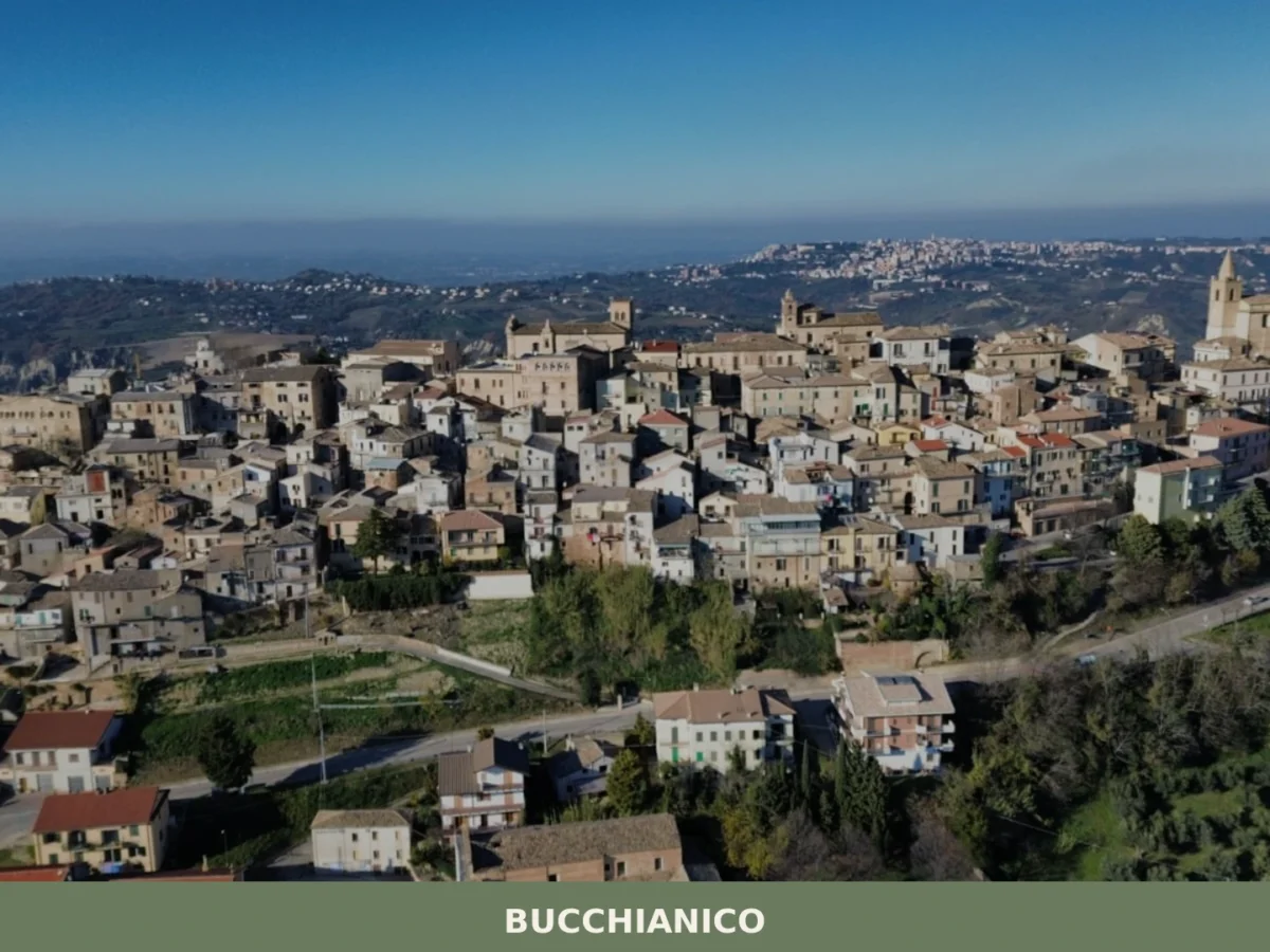
Bucchianico
What to see in Bucchianico, Abruzzo, Italy: explore 5 top attractions, local olive groves, the legacy of Saint Camillus de Lellis. Discover the best of this Chieti hill town.
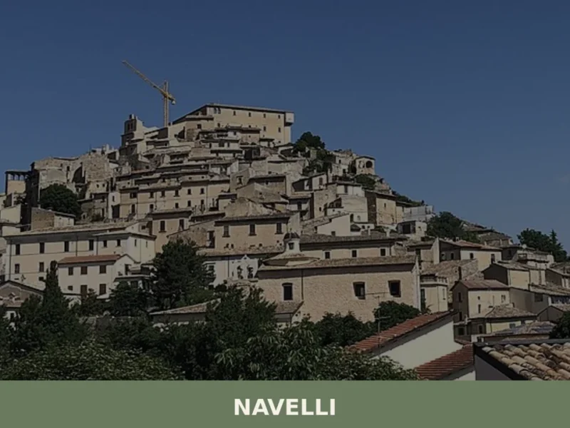
Navelli
Navelli has a current population of 537 and occupies a plateau at 760 metres above sea level on the homonymous highland, in the province of L’Aquila. Saffron cultivation in this area has been documented since at least the 13th century, when the spice became a trade commodity destined for the markets of Milan, Venice and […]
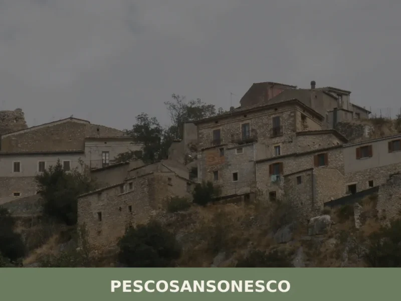
Pescosansonesco
What to see in Pescosansonesco, Italy? Discover this village at 610 m altitude, exploring its ancient ruins and a renowned sanctuary. Read our guide.
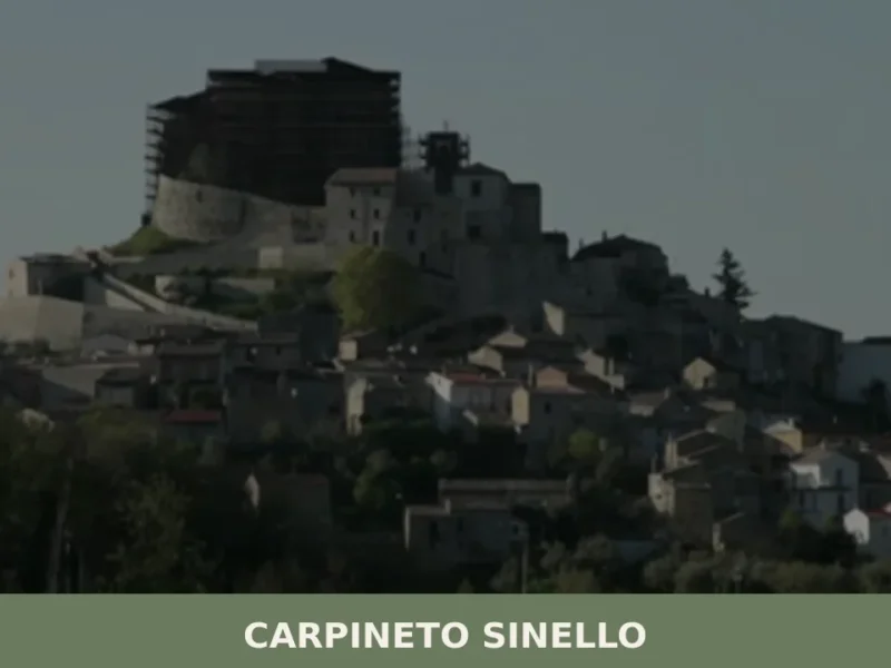
Carpineto Sinello
At 381 metres above sea level, on the ridge line separating the Sinello valley from the Appello stream valley, Carpineto Sinello has just 480 inhabitants today — less than a fifth of the nearly two thousand recorded in early twentieth-century censuses. The demographic data tells the story of a hilltop centre in the Chieti area […]
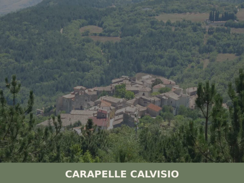
Carapelle Calvisio
What to see in Carapelle Calvisio, Italy? Explore this village at 910 m (2,986 ft) altitude, visit Rocca Calascio, and discover its unique population status. Read our guide!
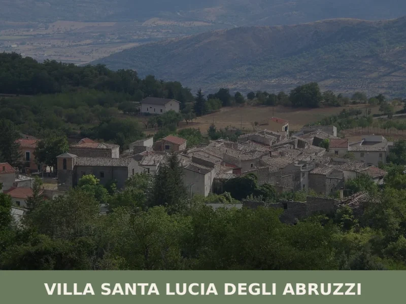
Villa Santa Lucia degli Abruzzi
what to see in villa santa lucia degli abruzzi, Italy. With 76 residents, explore its Gran Sasso park setting and unique demographic profile. Discover this Abruzzo village.


🏡 Know Ateleta better than we do?
If you’re a local or have been there, your knowledge matters: add what’s missing or fix a detail on this page.