


Castelluccio Inferiore
What to see in Castelluccio Inferiore: 5 must-see attractions, from the historic center to baroque churches. Discover the complete guide to this Basilicata village.
Discover Castelluccio Inferiore
Until 1813, Castelluccio Inferiore and Castelluccio Superiore formed a single municipality: one community later split by administrative decree into two distinct entities, each with its own profile along the Apennine ridge.
From that moment on, the village developed as an autonomous centre in southern Basilicata, with its territory descending towards the valleys of the Pollino National Park, where the mountain’s limestone layers emerge among beech forests and high-altitude grasslands.
Today there are 1,478 registered residents, and a name in the Lucanian dialect — Castëllùccë — that still bears the phonetic compression of generations.
What to see in Castelluccio Inferiore is a question that finds a concrete answer within the very first kilometres travelled across the municipal territory: the village rises in the southern Lucanian Apennines, in the province of Potenza, and is one of the centres included within the Pollino National Park, Italy’s largest protected area by extension.
Visitors will find a historic centre with religious architecture layered over the centuries, a natural setting structured by trails and mountain passes, and a cuisine built on the products of mountain farming and livestock rearing.
The main attractions include churches, the park’s heritage, and the traditions tied to the liturgical and agricultural calendar.
History and origins of Castelluccio Inferiore
The village’s name refers to a settlement of smaller dimensions compared to a larger reference centre — the suffix -uccio in medieval Italian often indicates a diminutive form, while Inferiore distinguishes the village from its higher-altitude counterpart, Castelluccio Superiore.
The two centres shared not only their name but also the same municipal administration for centuries, until the official separation established in 1813, during the Napoleonic period when the Kingdom of Naples undertook a systematic territorial reorganisation of southern municipalities.
That reform left dozens of administrative bifurcations across the Lucanian territory, still visible today in the double names — Superiore and Inferiore, Nuovo and Vecchio — scattered along the Apennines.
The territory of Castelluccio Inferiore lies in the southern Lucanian Apennines, in that transitional zone between the Pollino massif and the valleys descending towards the Tyrrhenian coast and the plain of Sibari. This position determined for centuries the village’s role as a waypoint and resting place along the communication routes between northern Calabria and the Lucanian hinterland.
The communities of this area experienced the same historical dynamics as other centres in southern Italy: Lombard, Norman, Swabian and Angevin dominations succeeded one another, leaving their marks on the organisation of the territory and the layout of settlements.
The current village preserves in its building fabric stratifications that hark back to these periods, with religious buildings that often occupy the sites of earlier constructions.
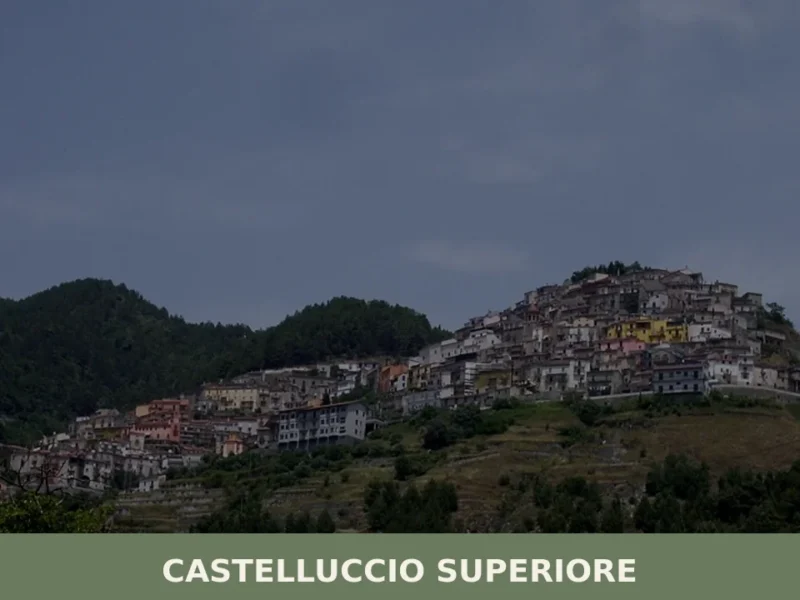
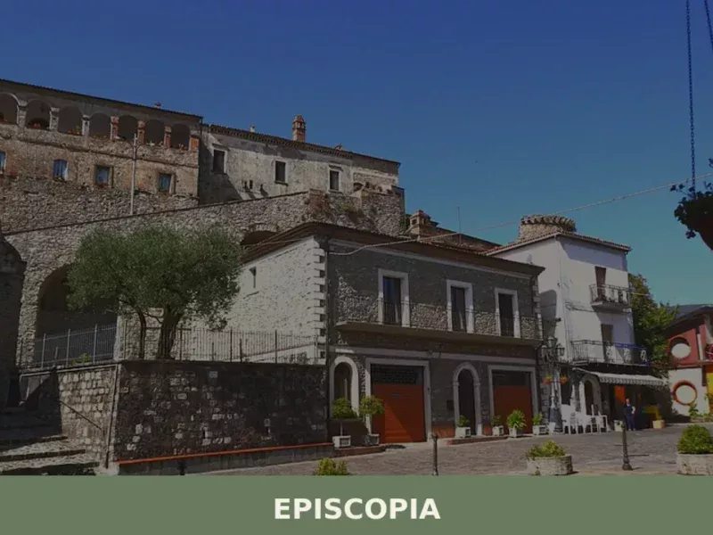
A useful comparison for understanding the settlement dynamics of this area is with Episcopia, a nearby village also included within the territory of the Pollino Park, with which Castelluccio Inferiore shares the same Apennine geographical and historical matrix.
Throughout the nineteenth and twentieth centuries, Castelluccio Inferiore underwent the transformations common to many centres in the Lucanian hinterland: the progressive depopulation linked to waves of migration towards northern Italy and abroad, the reorganisation of agriculture and livestock farming, and then the gradual enhancement of the territory following the establishment of the Pollino National Park.
The creation of the park redefined the role of these centres, transforming them from transit villages into destinations for nature tourism that seeks precisely the smaller scale and direct contact with the mountain landscape.
Castelluccio Inferiore today has 1,852 inhabitants and belongs to the province of Potenza, maintaining a living connection with the agricultural and pastoral practices that have shaped its territory for centuries.
What to See in Castelluccio Inferiore: Main Attractions
The Territory of the Pollino National Park
The boundary of the Pollino National Park crosses the municipal territory of Castelluccio Inferiore, integrating the village into one of the most extensive natural systems in southern Italy.
The park covers over 192,000 hectares across Basilicata and Calabria, and the portion accessible from the village includes limestone ridges, mature beech forests and high-altitude meadows where the vegetation changes abruptly with variations in aspect and elevation.
The trails departing from the municipal area allow visitors to reach passes and ridges from which the landscape opens out towards both slopes of the Apennines.
Those who walk these routes in summer will find Bosnian pines — the symbol tree of the Pollino — clinging to the limestone rocks at altitudes above 1,500 metres. The period between June and September offers the best conditions for hiking, with the trails passable and the mountain flora at its peak seasonal expression.
The Historic Centre and Urban Layout
The layout of Castelluccio Inferiore’s historic centre reflects the typical settlement pattern of Lucanian Apennine villages: a compact nucleus developed on a hillside, with narrow streets that follow the contour lines and branch out around religious buildings as pivots of the spatial organisation.
The oldest dwellings display masonry in locally quarried stone worked dry or with lime mortar, with lowered-arch doorways and loggias enclosed during nineteenth-century renovations.
Walking through the historic centre means reading directly the sequence of building transformations that took place between the eighteenth and twentieth centuries, without the interruption of recent reconstructions that elsewhere have altered the continuity of the urban fabric.
The scale of the village — fewer than two thousand inhabitants — makes the visit walkable in a few hours, with the opportunity to observe architectural details at close range.
The Churches of the Village
The religious heritage of Castelluccio Inferiore is concentrated in the historic centre, where the churches mark the main stages of a walking visit.
The places of worship in the village belong to the architectural tradition of southern Italy between the seventeenth and nineteenth centuries, with façades in local stone, single-nave interiors and decorative apparatus including carved wooden altars and canvases of the Neapolitan school.
Religious patronage has left concrete traces in the quality of the craftsmanship: the capitals, sculpted doorways and window cornices bear witness to the presence of specialist craftsmen active in this area of the Lucanian Apennines between the seventeenth and nineteenth centuries.
Each building has inscribed within its structure the date of its construction or principal renovation, allowing the chronological sequence of building interventions in the village to be reconstructed.
The Landscape Between the Two Castellucci
The administrative separation of 1813 produced a geographical effect that remains visible today: Castelluccio Inferiore and Castelluccio Superiore occupy two different elevations of the same hill system, and the route connecting them — a few kilometres of provincial road — crosses a transitional landscape where cultivated land gradually gives way to woodland.
Descending from Castelluccio Superiore towards Castelluccio Inferiore means following the difference in altitude that separates the two centres, reading in the landscape the practical reason for the historical division: two communities that shared the same name but inhabited environments with different vocations, one more oriented towards high-altitude livestock farming, the other towards the cultivated valley floors.
This route between the two villages remains one of the most direct ways to understand the settlement logic of the southern Lucanian Apennines.
The Connecting Trails to the Pollino
From the territory of Castelluccio Inferiore, hiking routes depart that connect to the trail network of the Pollino National Park.
The valley-floor paths follow the watercourses descending from the main massif, with elevation changes accessible even to non-specialist hikers. The high-altitude trails, on the other hand, reach ridges from which the panorama encompasses the main peaks of the Pollino — Serra Dolcedorme, at 2,267 metres, is the highest point in the system and remains visible on clear days from several points within the municipal territory.
The official park cartography, available at the visitor centres, indicates the walking times and difficulty level of each route.
Those seeking less frequented paths compared to the park’s main axes will find in this area a trail network with lower footfall than the better-known zones, making the experience in the field more immediate.
An interesting comparison in terms of hiking in Basilicata can be drawn with Accettura, a Lucanian village with a natural heritage and a tradition of rural festivals equally deeply rooted in its territory.
Typical cuisine and products of Castelluccio Inferiore
The cuisine of Castelluccio Inferiore belongs to the gastronomic tradition of the Lucanian Apennines, built on the products of sheep and cattle farming, mountain agriculture, and the seasonal gathering of wild herbs and mushrooms. The town’s geographical position — between the valleys of the Pollino and the high-altitude pastures — has shaped a larder based on preserved ingredients: dried and cured meats, dried pulses, and artisanally processed grains.
This culinary framework derives directly from the practical needs of communities that for centuries lived far from urban markets, developing techniques for preserving and processing local products that today form the connecting thread of the territory’s cuisine.
The dishes of local tradition use hand-made pasta as their main base: lagane e fagioli, prepared with durum wheat dough cut into wide strips and dressed with borlotti beans slow-cooked with garlic, oil, and dried chilli, represent one of the most deeply rooted dishes in Lucanian peasant cooking.
Cicerchie soup, a humble legume typical of the southern Apennine area, is made with soaked dried cicerchie, a soffritto of onion and lard, and finished with crusts of stale bread.
Meat main courses are based on locally raised lamb and kid: cutturidde, a lamb stew cooked in a terracotta pot with wild aromatic herbs and wine, is the most representative preparation of this Apennine area. Pork is processed into aged cured meats — soppressata, sausage, and capocollo — following recipes passed down within families.
The territory does not hold PDO, PGI, or other designations of origin registered at Community level for products specific to the municipality of Castelluccio Inferiore.
However, the area’s products fall within the broader framework of Lucanian gastronomy, which the European Union and the Ministry of Agriculture recognise through designations covering geographical areas larger than the province of Potenza alone.
Extra virgin olive oil produced in the hilly zones of Basilicata and aged pecorino cheeses from the pastoral areas of the Pollino are present in local markets, even though their production cannot be attributed exclusively to the municipal territory.
The local gastronomic calendar follows the seasonal rhythms of farming and agriculture.
Autumn is the richest period: the slaughter of pigs between November and January generates cured meat productions that will be ready by spring, while the gathering of porcini mushrooms and chestnuts in the Pollino woodlands provides ingredients for immediate preparations or preserves in oil.
The weekly markets of neighbouring villages and the autumn agricultural fairs of the Pollino area are the most direct settings in which to find the fresh and aged products of this part of Basilicata.
Festivals, events, and traditions of Castelluccio Inferiore
The calendar of religious celebrations marks the rhythm of community life in Castelluccio Inferiore as in all towns of the Lucanian Apennines.
The patron saints’ festivals, tied to the Catholic liturgical calendar, feature processions through the historic centre, solemn masses, and moments of collective gathering that involve local families and emigrant residents who return for the occasion.
These seasonal homecomings concentrate in the summer weeks a demographic presence higher than the annual average, transforming the town into a meeting point between those who stayed and those who left during the migratory waves of the twentieth century.
The traditions linked to the agricultural and pastoral cycle maintain a concrete presence in the life of the town, with practices connected to pork processing in winter and transhumance in the spring and summer months.
The Pollino area, within which the territory of Castelluccio Inferiore lies, has developed over time a system of festivals and gatherings involving several municipalities in the area: the supra-local dimension of these events, documented by the establishment of the park and the activities of the visitor centres, allows visitors to take part in celebrations that go beyond the boundaries of a single village.
Those planning a visit in summer will find a fuller calendar of events compared to the intermediate seasons, with opportunities to attend celebrations that retain ritual elements of rural origin.
When to Visit Castelluccio Inferiore and How to Get There
The best time to visit Castelluccio Inferiore depends on the visitor’s main interests.
Those coming for hiking in the Pollino will find optimal conditions between June and September, when the high-altitude trails are free of snow and the mountain vegetation is at its most lush.
Spring — April and May — offers landscapes with an intense floral cover on the slopes, while autumn brings the colours of the beech forest and the availability of mushrooms and chestnuts.
Winter allows you to see the Pollino under its snow cover, but limits access to high-altitude trails and reduces the services available in the villages. Those seeking the cultural dimension and traditional festivals should plan their visit during the summer months, between July and August, when the village sees the highest presence of visitors and returning residents.
To reach Castelluccio Inferiore by car, the main reference point is the A3 Salerno–Reggio Calabria motorway, with exits at the Lauria Nord or Lauria Sud tollgates, both around twenty kilometres from the village.
The provincial road that climbs towards the village is paved but narrow in several stretches, with bends that require care. The nearest railway station is at Lauria-Rotonda, on the Battipaglia–Reggio Calabria line, from which you will need to continue by car or local transport services.
The nearest functional airport for those arriving from outside the region is Lamezia Terme, approximately 100 km away, reachable in about an hour and a half by car.
For up-to-date train timetables, please refer to Trenitalia. Those travelling from Naples or Rome will find the A3 the main link to this area of southern Basilicata.
An alternative itinerary that also allows you to discover other Lucanian towns could include a stop at Baragiano, a village in the province of Potenza with an interesting historical profile along the route towards the regional capital.
| Departure point | Distance | Estimated time |
|---|---|---|
| Naples (A3) | approximately 220 km | approximately 2 hours 30 minutes |
| Lamezia Terme Airport | approximately 100 km | approximately 1 hour 30 minutes |
| Lauria-Rotonda Railway Station | approximately 20 km | approximately 25 minutes by car |
| Potenza | approximately 130 km | approximately 1 hour 45 minutes |
Those visiting Castelluccio Inferiore who wish to extend their itinerary towards the Lucanian Ionian coast may consider a stop at Bernalda, a village in the province of Matera overlooking the hills that slope down towards the Ionian Sea, approximately two hours by car from the Pollino. The contrast between the mountainous interior and the hilly coastal landscape of the Ionian makes this journey one of the most complete options for those who want to see in Castelluccio Inferiore and beyond — crossing the full geographical variety of Basilicata in a single itinerary.
🚶 Religious routes in Basilicata
- Via Francigena · 1970 km
- Cammino Basiliano · 1535 km
- Cammino Materano – Sei vie di fede nel Sud Italia · 430 km
- Percorso antico della fede Madonna del Pollino · 186 km
- Cammino della Madonna Nera · 52 km
Source: Italian Ministry of Tourism, open data 2024
Frequently asked questions about Castelluccio Inferiore
What is the best time to visit Castelluccio Inferiore?
The best time to visit Castelluccio Inferiore is between June and September, when hiking trails into the Pollino National Park are fully accessible and mountain flora reaches its peak. Summer days are pleasant at 495 metres, making walks comfortable. Autumn brings mushroom-gathering season and vivid foliage across the beech forests. For a cultural experience, 6 December is the feast day of the patron saint San Nicola di Bari, an important moment in the village's liturgical calendar that draws locals and visitors into the historic centre.
What are the historical origins of Castelluccio Inferiore?
Castelluccio Inferiore shares its roots with the neighbouring village of Castelluccio Superiore: until 1813 they formed a single municipality. The administrative split occurred during the Napoleonic reorganisation of the Kingdom of Naples, which systematically divided many southern Italian communities. The name itself reflects medieval naming conventions — the suffix -uccio signals a smaller settlement, while Inferiore distinguishes it from its higher-altitude counterpart. The territory was subject to successive Lombard, Norman, Swabian and Angevin dominations, traces of which remain in the village's building fabric and religious architecture.
What to see in Castelluccio Inferiore? Main monuments and landmarks
The historic centre is the starting point for any visit: a compact hillside nucleus with stone-built dwellings, lowered-arch doorways and religious buildings dating between the seventeenth and nineteenth centuries. The churches — with single-nave interiors, carved wooden altars and Neapolitan-school canvases — are the main architectural landmarks. The route connecting Castelluccio Inferiore to Castelluccio Superiore across the two villages' different elevations is itself a scenic and historically meaningful itinerary. The village is walkable within a few hours given its scale of under two thousand inhabitants.
What are the main natural or scenic attractions of Castelluccio Inferiore?
The municipal territory falls within the Pollino National Park, Italy's largest protected area at over 192,000 hectares spanning Basilicata and Calabria. From Castelluccio Inferiore, trails access limestone ridges, mature beech forests and high-altitude meadows. The iconic Bosnian pine — the park's symbol tree — grows on rocky outcrops above 1,500 metres. On clear days, Serra Dolcedorme (2,267 m), the highest peak in the Pollino system, is visible from several points in the municipal area. Valley-floor paths following local watercourses are accessible even to non-specialist hikers.
Where to take the best photos in Castelluccio Inferiore?
The provincial road between Castelluccio Inferiore and Castelluccio Superiore offers open views over the two villages set at different elevations along the same hill system, capturing the layered landscape of cultivated land and woodland. The high-altitude trails within the Pollino National Park provide panoramic viewpoints over the main massif, including sightlines towards Serra Dolcedorme on clear days. The stone streetscapes of the historic centre, with their dry-laid masonry and enclosed loggias, offer close-range architectural photography in the early morning before visitor activity increases.
What can you do in Castelluccio Inferiore? Activities and experiences
Hiking is the primary activity, with trails departing from the municipal territory into the Pollino National Park's network — ranging from valley-floor walks along watercourses to high-altitude ridge routes. The area is notably less crowded than the park's main access points, offering a quieter experience on the trails. Visiting the historic centre's churches and reading the architectural chronology of the village is a rewarding cultural activity. The feast of San Nicola di Bari on 6 December provides a direct encounter with the village's living liturgical traditions.
Who is Castelluccio Inferiore suitable for? Families, couples, hikers, solo travelers?
Castelluccio Inferiore suits hikers and nature lovers seeking access to the Pollino National Park away from its busier entry points, with routes available at varying difficulty levels including valley-floor walks suitable for families. The compact, walkable historic centre and the village's human scale make it appealing for couples and solo travellers looking for an authentic, unhurried Lucanian Apennine experience. Cultural visitors interested in vernacular religious architecture and the settlement history of southern Italy will find the village and its relationship with Castelluccio Superiore particularly rewarding.
What to eat in Castelluccio Inferiore? Local products and specialties
The cuisine belongs to the Lucanian Apennine tradition built on preserved meats, dried pulses and hand-made pasta. Lagane e fagioli — wide durum wheat pasta strips with slow-cooked borlotti beans, garlic, oil and dried chilli — is one of the most deeply rooted dishes in the area. Cicerchie (grass peas) feature in traditional soups. Mountain livestock farming underpins the local larder, with cured and dried meats central to the food culture. Seasonal mushroom gathering in the surrounding beech forests adds further variety to the autumn table.
📷 Photo Gallery — Castelluccio Inferiore
Getting there
Largo Guglielmo Marconi, 85040 Castelluccio Inferiore (PZ)
Nearby Villages near Castelluccio Inferiore
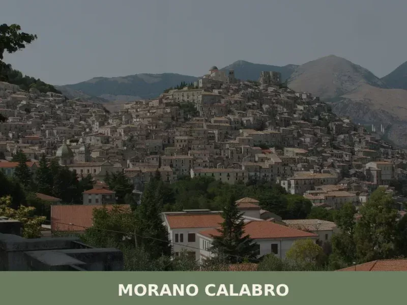
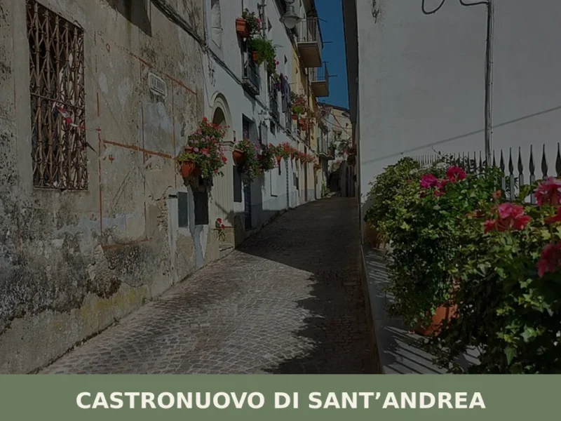
In Basilicata More villages to discover
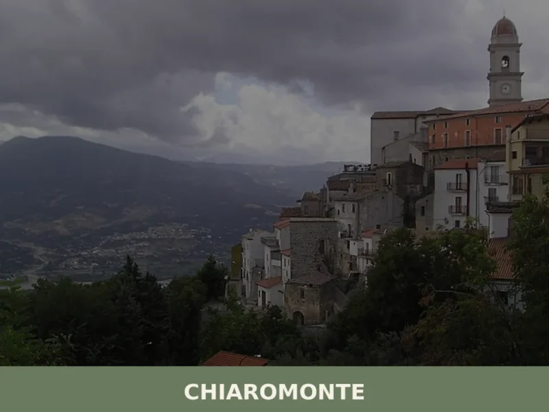
Chiaromonte
what to see in chiaromonte, Italy: Discover its 794m altitude and delve into its history, from ancient roots to the case study of Montegrano. Explore Basilicata.
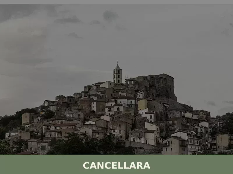
Cancellara
What to see in Cancellara: Discover Italy's Basilicata region, a village at 680 m (2,231 ft) known for its medieval castle and ancient necropolis. Explore its history and salami festival.

Craco
What to see in Craco, Italy: explore the abandoned town at 400 m (1,312 ft), its medieval tower, film locations, and Basilicata's landscape. Discover it all here.

Cirigliano
What to see in Cirigliano, Italy: a medieval village with a 17th-century Pietu00e0, an oval castle tower, and local pasta traditions. Discover 5 top attractions.

Colobraro
What to see in Colobraro, Italy: explore the village at 630 m altitude known as 'that village'. Discover its curse legend, Sinni valley views & local food. Read the guide.
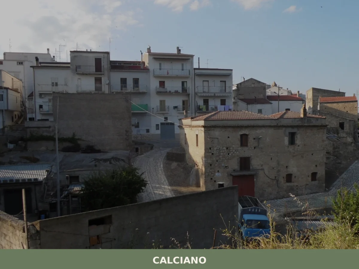
Calciano
Six hundred inhabitants, a dialect that calls the town Caucësciànë, and a landscape that the province of Matera renders with geometric precision: clay hills that change colour with the passing hours, narrow streets where the wind carries dust in summer and silence in winter. In this article History and origins of Calciano What to See […]

Ferrandina
What to see in Ferrandina, Basilicata, Italy: 6 historic churches, olive oil production, and a hilltop at 482 m. Discover top attractions and how to get there.
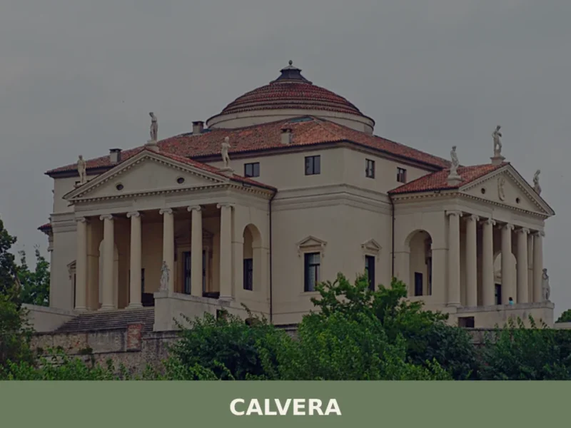
Calvera
At 630 meters above sea level, in the heart of the province of Potenza, lies Calvera, a small Lucanian municipality distinguished by its elevated position and authentic atmosphere. The village, with its stone houses clinging to the hillside, offers panoramic views of the surrounding valley, bearing witness to a history of mountain life and a […]


🏡 Know Castelluccio Inferiore better than we do?
If you’re a local or have been there, your knowledge matters: add what’s missing or fix a detail on this page.