


Baragiano
 Mountain
What to see in Baragiano, Italy: a village at 625 m altitude with 2,485 inhabitants. Discover top attractions, local food, festivals and how to get there.
Discover Baragiano
At 625 m (2,051 ft) above sea level, the air in Baragiano carries the mineral sharpness of the Apennine interior.
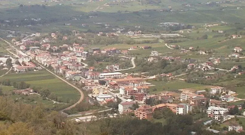
The comune sits in the province of Potenza, bounded by the territories of Balvano, Bella, Picerno, and Ruoti — four neighbouring settlements that mark the edges of a landscape shaped by limestone ridges and cultivated valleys.
With a population of 2,485 inhabitants, the village keeps a compact profile: narrow lanes, stone façades that absorb the afternoon light, and a pace dictated by agricultural cycles rather than the calendar of mass tourism.
For visitors researching what to see in Baragiano, the answer begins at 625 m (2,051 ft) and unfolds through the historic centre, the church dedicated to the patron saint San Rocco, and the upland territory that connects this southern Italian comune to the broader cultural geography of Basilicata.
Visitors to Baragiano find a settlement that functions on its own terms, where the August feast day fills the streets with processions, and where the surrounding countryside offers walking routes through a deeply rural Apennine landscape.
The Baragiano highlights include documented civic and religious architecture, a traditional food culture rooted in local pastoral and agricultural practices, and a position that makes it accessible as a day trip from Potenza.
History of Baragiano
The Lucano dialect name for this settlement is Varagiàne, a phonetic form that diverges noticeably from the Italian Baragiano and points toward a linguistic stratum predating modern administrative naming.
The etymology of the toponym has not been definitively settled in the available historical record, but the Lucano variant preserves a phonology consistent with pre-Norman place-names found across the Basilicata interior.
This linguistic detail situates Baragiano within a broader pattern of settlement continuity in the Apennine zone of the province of Potenza, where village names often encode layers of Oscan, Latin, Lombard, and Norman influence accumulated over more than two millennia.
The medieval period left a decisive imprint on the physical structure of Baragiano.
Like many comuni in the province of Potenza, the settlement took on its current territorial form during the Norman reorganisation of southern Italy in the eleventh and twelfth centuries, when feudal boundaries were drawn across the former Lombard principalities of the Mezzogiorno.
The neighbouring comune of Balvano, which shares Baragiano’s eastern boundary, followed a comparable trajectory through this same feudal reshaping of the landscape.
Over subsequent centuries, the area passed through the hands of various baronial families before the abolition of feudalism in the Kingdom of Naples in 1806 restructured landownership and local governance across Basilicata.
In the modern era, Baragiano — like much of inland Basilicata — experienced significant demographic pressure from emigration, particularly during the late nineteenth century and again after the Second World War, when economic conditions in the Italian south drove large numbers of residents toward industrial centres in northern Italy and abroad.
The current population of 2,485 reflects a stabilisation relative to the deeper contractions seen in smaller Lucanian villages.
Baragiano holds a documented international connection through its twin-town relationship with Jalasjärvi, a municipality in Finland, a pairing that formalises cultural exchange between two communities of broadly comparable scale and rural character.
What to See in Baragiano, Basilicata: Top Attractions
The Historic Centre and Medieval Street Layout
The urban fabric of Baragiano preserves a medieval spatial logic in which streets converge toward the highest point of the settlement rather than following a planned grid.
Stone construction dominates throughout, with exterior walls showing the grey-beige tones of locally quarried material.
Walking the central lanes, a visitor reads the compressed verticality typical of Apennine villages at this altitude: houses built close together to conserve heat, with narrow passages between them that channel wind rather than light.
The best time to explore the historic centre on foot is in the early morning before temperatures rise in July and August, when the stone surfaces are cool and the streets largely empty.
Church of San Rocco
The parish church dedicated to San Rocco — a saint historically invoked against plague and epidemic illness — stands as the principal religious building in Baragiano and the focal point of the village’s most important annual celebration.
San Rocco’s association with the protection of communities from disease made him a central devotional figure across the Mezzogiorno from at least the fifteenth century onward, and his cult took firm hold in many Basilicatan comuni where isolation and limited medical infrastructure made communal religious practice a primary response to collective hardship.
The church’s interior and the square in front of it become the operational centre of the village on 16 August, the feast day.
Visitors arriving outside the feast period will find the building accessible during morning hours.
The Panoramic Viewpoints over the Apennine Interior
From the upper edges of Baragiano at 625 m (2,051 ft), the view extends across the folded terrain of the Basilicata interior toward the ridgelines that separate the Potenza basin from the valleys running south. No single named belvedere is documented in official sources, but the topography of the settlement naturally produces elevated positions along its northern and western perimeters where the built fabric ends and the open hillside begins.
The surrounding comuni — Bella, Picerno, and Ruoti — are visible as clusters of buildings on adjacent ridges, each at comparable altitude, underlining how thoroughly this part of the province was organised around defensible high ground.
Arriving in the late afternoon positions the light behind the western ridges, which produces clearly defined shadow contrasts across the valley floor below.
The Rural Territory and Agricultural Landscape
The territory of Baragiano extends across upland agricultural land typical of the montagna category of Basilicata’s inland settlements.
Cereal cultivation, livestock rearing, and kitchen-garden production have structured this landscape for centuries, and the physical evidence of that use — dry-stone walls, terraced slopes, isolated farmsteads — remains legible across the hillsides surrounding the village
📷 Photo Gallery — Baragiano
Getting there
Corso Giuseppe Garibaldi, 85050 Baragiano (PZ)
Nearby Villages near Baragiano
In Basilicata More villages to discover
Armento
Mountain
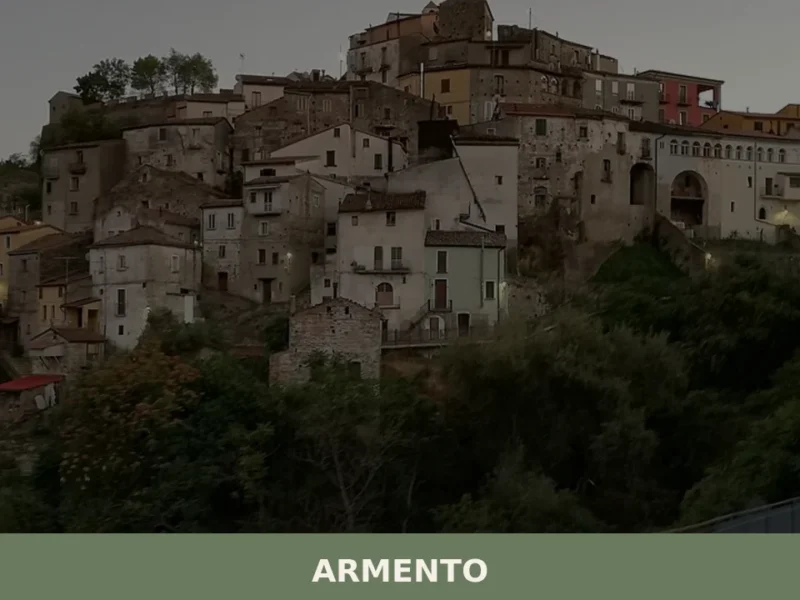
In 1814, a farmer unearthed a Lucanian funerary assemblage dating to the 4th century BC in the countryside around Armento: a golden crown, now held at the Antikensammlung in Munich, which confirmed the presence of a high-ranking Italic settlement in this part of the Val d’Agri. The village sits at 710 metres above sea level […]
Pietrapertosa
 Sea
Sea
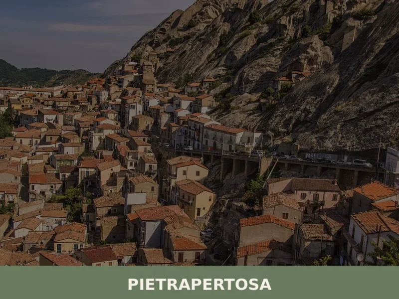
What to see in Pietrapertosa, Basilicata, Italy: from the Volo dell'Angelo zip line to Dolomiti Lucane rock formations. Discover top things to do. Read the guide.
Calvera
Mountain
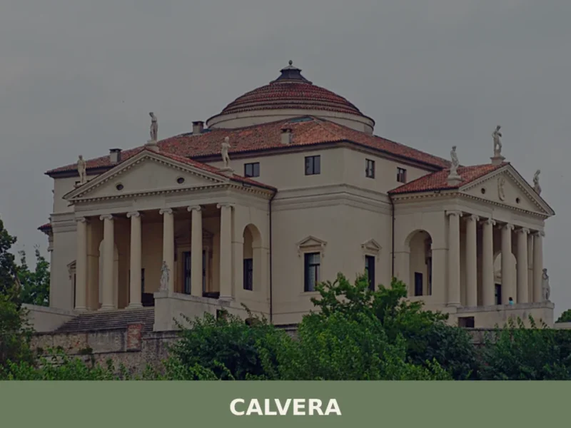
At 630 meters above sea level, in the heart of the province of Potenza, lies Calvera, a small Lucanian municipality distinguished by its elevated position and authentic atmosphere. The village, with its stone houses clinging to the hillside, offers panoramic views of the surrounding valley, bearing witness to a history of mountain life and a […]
Castelgrande
Mountain
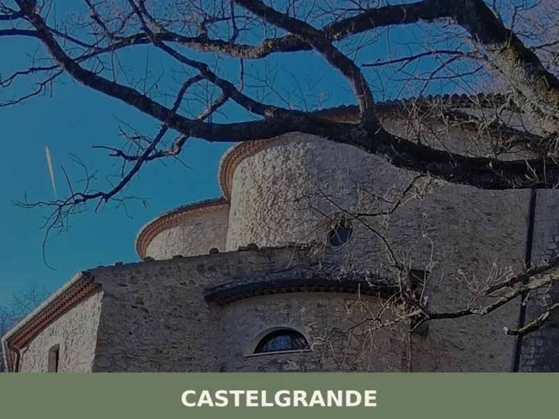
Discover what to see in Castelgrande, a mountain village in Basilicata. From the Mother Church to the historic center, a journey through history and nature. Includes practical tips for your visit.

Craco
Mountain
What to see in Craco, Italy: explore the abandoned town at 400 m (1,312 ft), its medieval tower, film locations, and Basilicata's landscape. Discover it all here.
Brienza
Mountain
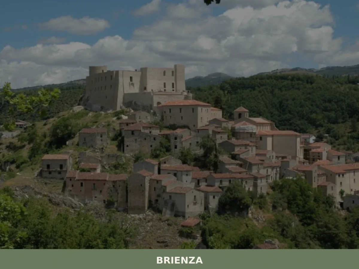
What to see in Brienza? Explore 5 historic points of interest in this Basilicata village. Discover Caracciolo Castle and ancient churches. Plan your visit!

Cirigliano
Mountain
What to see in Cirigliano, Italy: a medieval village with a 17th-century Pietu00e0, an oval castle tower, and local pasta traditions. Discover 5 top attractions.
Barile
Mountain
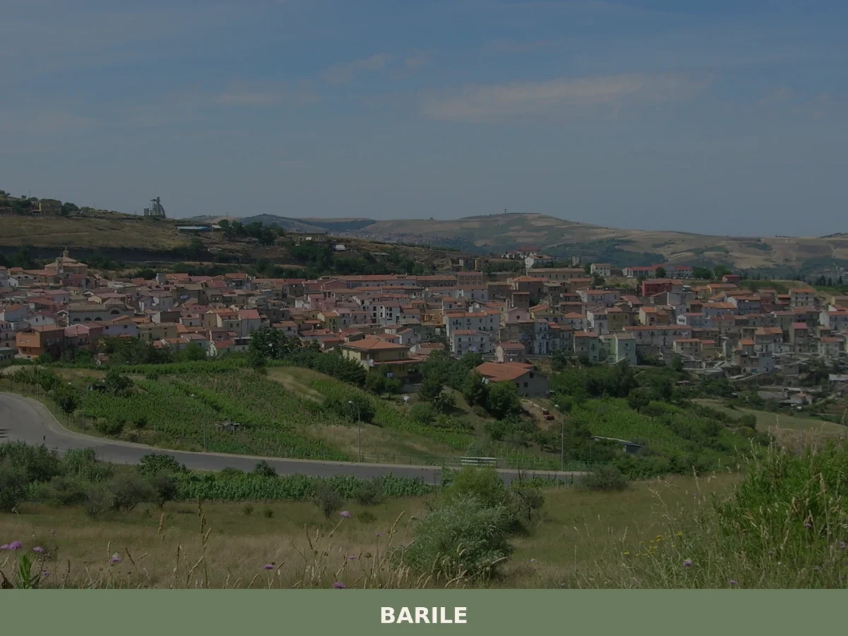
What to see in Barile? Discover 5 must-see attractions in this Basilicata village. The complete guide to visiting Barile awaits you. Plan your trip!
Bella
Mountain
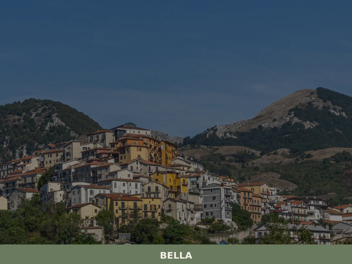
What to see in Bella, the Lucanian village of 4,516 inhabitants? Discover its must-see places and history. Plan your visit!

Castelluccio Inferiore
Mountain
What to see in Castelluccio Inferiore: 5 must-see attractions, from the historic center to baroque churches. Discover the complete guide to this Basilicata village.




🏡 Know Baragiano better than we do?
If you’re a local or have been there, your knowledge matters: add what’s missing or fix a detail on this page.