


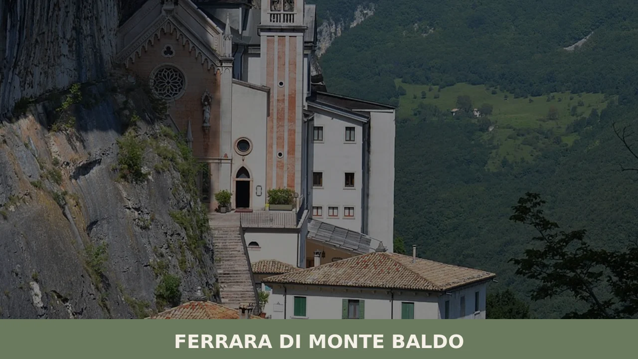
Ferrara di Monte Baldo
A comune of 280 residents at 856 metres elevation. Discover stone architecture shaped by alpine seasons and the territory that connects the Garda rim to the high Veronese interior.
Ferrara di Monte Baldo: A Mountain Comune in the Heart of Verona's Foothills
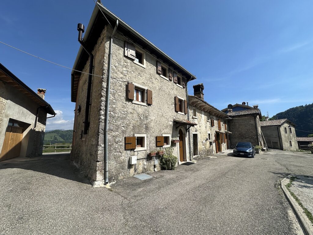
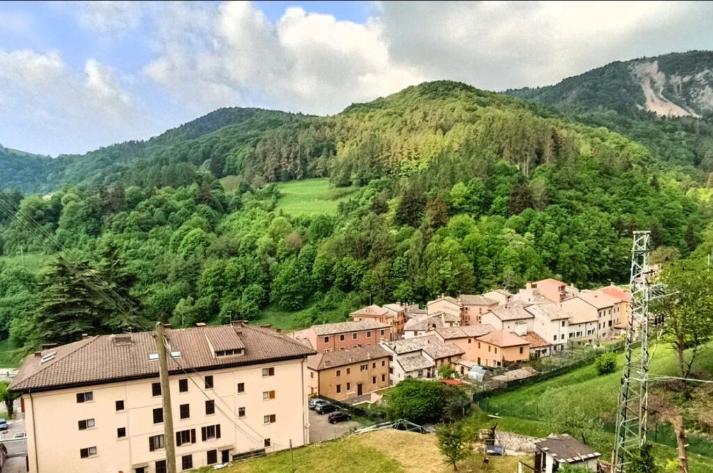
Stone walls rise from the mountain slope, their colour unchanged by centuries. Narrow lanes climb between buildings built to withstand snow and wind, their small windows set deep into thick walls. The rhythm of the high foothills is unmistakable: seasons dictate how residents move, roads narrow into switchbacks, and every structure reflects the economics of altitude and isolation.
Ferrara di Monte Baldo is a comune of 280 inhabitants in the province of Verona, Veneto, sitting at 856 metres above sea level. Two immediate impressions define a visit: the territorial logic of mountain settlement, and the steady presence of Santa Caterina, the patron saint whose name anchors the community’s religious life.
Identity and Territory
This village belongs to the foothills that rise between Lake Garda’s northern shore and the interior highlands of the Veronese Alps. Its neighbours—Brentino Belluno, San Zeno di Montagna, Erbezzo, and others—share the same vertical geography: settlements dispersed across altitude, connected by old mule routes and modern switchback roads.
The identity of Ferrara di Monte Baldo rests not on monumental architecture or grand narratives, but on continuity. Stone buildings cluster without fanfare. Residents manage roads and maintain structures according to seasonal need. The landscape itself—steep slopes, thin pastures, deciduous forest—sets the terms of daily life far more than any historical event or architectural showpiece.
In mountain villages, survival is the tradition, and tradition is survival.
This absence of large claims is itself the village’s character. Few outsiders pass through. Few records document dramatic events. Instead, Ferrara di Monte Baldo persists as a working settlement where the alpine calendar—spring snowmelt, summer pastoral use, autumn preparation, winter isolation—structures the year far more than local festivals or commemorations do.
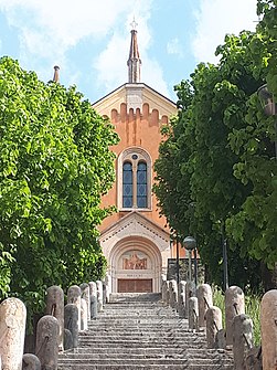
The Patron Saint and Religious Life
Santa Caterina is the ecclesiastical centre of the village’s identity. As patron saint, she gives the community a fixed point of devotion and a focal date in the annual calendar. Churches and chapels dedicated to saints are common in Veneto’s mountain regions, and Caterina’s presence here marks Ferrara di Monte Baldo as part of that broader religious geography.
The rhythm of feast days, processions and seasonal observances tied to the patron provides a counterpoint to the purely functional rhythm of agriculture and road maintenance. For residents and visitors alike, the saint’s name and image offer continuity across generations—a spiritual anchor that outlasts any individual or family.
Village Architecture and Streets
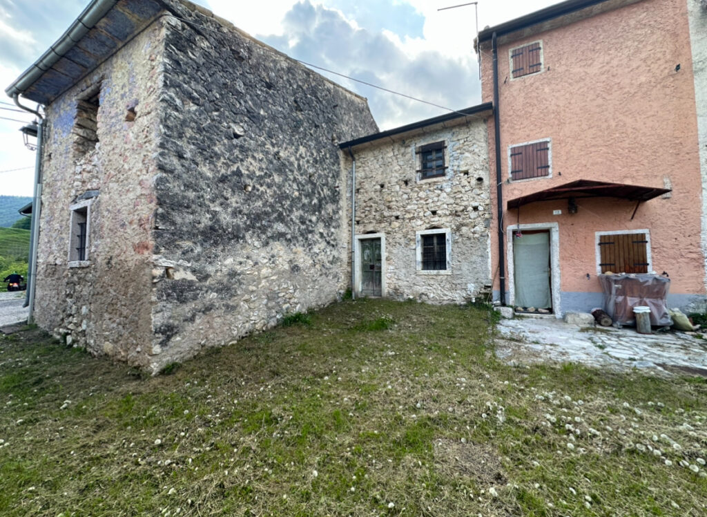
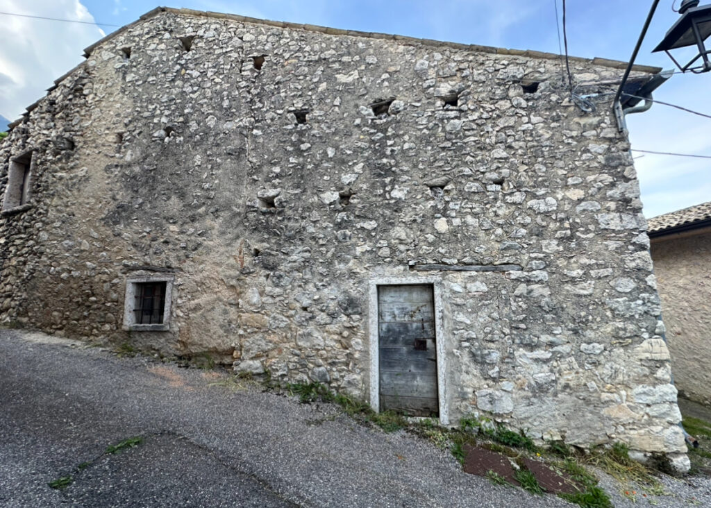
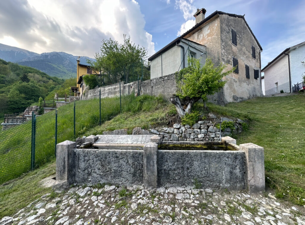
The built environment of Ferrara di Monte Baldo reflects the logic of mountain terrain. Houses are constructed from stone quarried locally or carried up from lower slopes. Walls are thick, designed to retain heat and withstand wind. Openings—doors and windows—are modest, limiting the escape of warmth. Roofs are steeply pitched to shed snow rapidly.
Streets do not follow a grid. Instead they wind with the slope, creating switchbacks and sudden vistas. Staircases climb between levels. Covered passages link buildings, reducing exposure in poor weather. Balconies and external stairs are rare; interiors are designed for long, enclosed winters.
This architecture serves function rather than display. The streetscape is legible as a map of priorities: water access, sunlight hours, shelter from wind, and paths steep enough to prevent snow accumulation. Every structural choice reflects centuries of adaptation to altitude.
Agricultural Context and Seasonal Life
The slopes surrounding the village support pasture and mixed cultivation suited to elevation. Livestock—sheep and cattle—have historically used summer Alpine pastures, moving to lower ground as snow approaches. This transhumance, or seasonal movement, shaped patterns of settlement and resource use across the entire region.
Today, agriculture remains subsistence-oriented rather than commercial in scale. Residents cultivate kitchen gardens, tend fruit trees, and manage small plots. The alpine calendar remains visible: spring planting, summer growth, autumn harvest and preservation, winter maintenance and repair. This rhythm is inseparable from the village’s everyday life, even where tourism or remote work have altered traditional livelihoods.
Planning Your Visit
Ferrara di Monte Baldo is accessible year-round, though winter snow and poor visibility can close or slow mountain roads. Spring and autumn offer clear skies and moderate temperatures. Summer brings steady weather but also brings more visitors to the entire Garda region. Winter transforms the village into a quieter, colder settlement where the season’s isolation becomes tangible.
The village has no major museum, hotel or restaurant establishment documented in accessible sources. Visitors should plan as hikers or as travellers moving between neighbouring settlements. The comune office and local resources (see the official website) can provide current information on accommodations, road conditions, and local events. Bring proper footwear; streets are steep and often wet.
| Departure Point | Distance | Approximate Time |
|---|---|---|
| Verona city centre | 60 km | 1 hour 15 minutes by car |
| Malcesine (Lake Garda east shore) | 25 km | 45 minutes by car |
| Brenzone sul Garda (north shore) | 18 km | 35 minutes by car |
| Erbezzo (neighbouring comune) | 12 km | 25 minutes by car |
The village is best reached by private car. Regional bus services connect some neighbouring comuni, but routes and schedules are limited; check local transport authorities before relying on public transit. Roads are narrow and winding; drive with caution, especially in poor weather or winter conditions. Parking is minimal; arrive early or outside summer weekends.
Ferrara di Monte Baldo rewards slow travel and quiet observation rather than rapid sightseeing. Spend time walking the streets, reading the architecture, and speaking with residents if opportunity allows. The value lies in understanding how settlement and survival work at altitude, not in collecting ticked attractions.
Nearby Settlements and Territorial Links
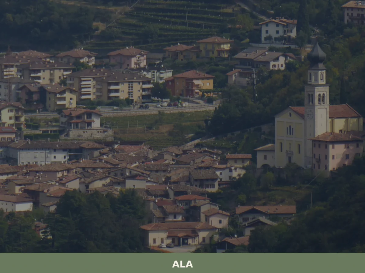
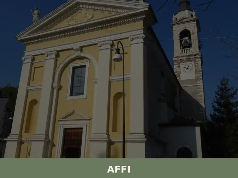
The broader landscape reveals itself through neighbouring villages. Brentino Belluno, San Zeno di Montagna, and Erbezzo form part of the same foothills, each at similar altitudes and facing comparable challenges of isolation and alpine economy. Lower settlements such as Affi and Velo Veronese occupy intermediate elevations between the Garda shore and the high interior, creating a natural gradation of settlement and livelihood from lake to mountains.
Understanding Ferrara di Monte Baldo means understanding this vertical geography. The village is not an isolated island but part of a continuum. Water runs downhill toward the lake. Populations and goods historically moved between altitudes. Trade and kinship linked communities across the slope. This territorial logic remains visible in road networks, linguistic features, and the distribution of religious and civic institutions across the region.
Frequently asked questions about Ferrara di Monte Baldo
When is the best time to visit Ferrara di Monte Baldo?
Late spring through early autumn (May–September) offers optimal conditions for mountain hiking and exploring the village. Winter brings snow at 856 metres altitude, making access challenging but visually dramatic. Plan around the patron saint feast of Santa Caterina on 25 November if experiencing local religious traditions interests you. Summer provides reliable weather for outdoor routes in the surrounding foothills.
What are the nearest towns and how do I reach Ferrara di Monte Baldo by car?
The village sits in the Veronese foothills between Lake Garda's north shore and the interior highlands. Nearest larger settlements include San Zeno di Montagna and Brentino Belluno. Access via provincial roads through the Verona province, following switchback routes typical of mountain settlements. From Verona city, allow 45–60 minutes driving time. Confirm current road conditions seasonally, as winter snow affects mountain access.
What can I do in and around Ferrara di Monte Baldo?
The village exemplifies mountain settlement architecture and territorial logic of alpine foothills. Explore narrow stone-built lanes and thick-walled structures adapted to altitude. The surrounding landscape offers mule-route heritage and documented hiking connections to neighbouring settlements like Erbezzo and San Zeno di Montagna. Mountain trails and seasonal agricultural rhythms define the visitor experience—this is landscape observation and cultural immersion rather than monument tourism.
How long should I plan to spend in Ferrara di Monte Baldo?
Half a day (2–3 hours) suffices for walking the village core and observing its architectural character and mountain setting. Extend to a full day if combining with trails into the surrounding foothills or visiting nearby settlements. The appeal lies in slow observation of landscape, building techniques, and seasonal rhythms rather than crowded attractions. Overnight stays allow deeper immersion in mountain village life.
📷 Photo Gallery — Ferrara di Monte Baldo

Nearby Villages near Ferrara di Monte Baldo
In Veneto More villages to discover

Marostica
Marostica draws visitors with its world-famous living chess match and over 600 years of Scaligeri and Venetian architecture. The IGP cherry alone is worth the detour.
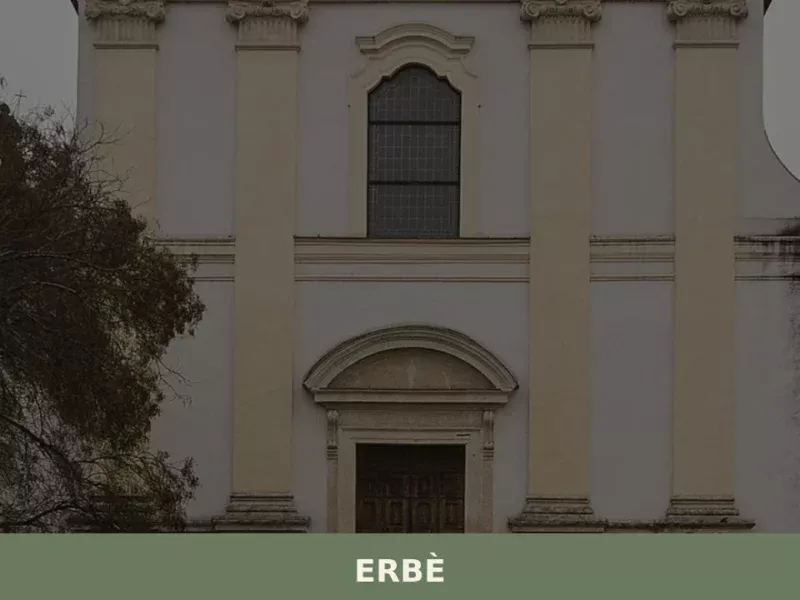
Erbè
Erbè has 1,838 inhabitants and occupies a stretch of the Veronese plain north of the Tione dei Monti river, along the road connecting Verona to Mantua. The municipal territory, almost entirely flat and crossed by a dense network of irrigation canals, was progressively reclaimed starting in the 15th century under the administration of the Republic […]
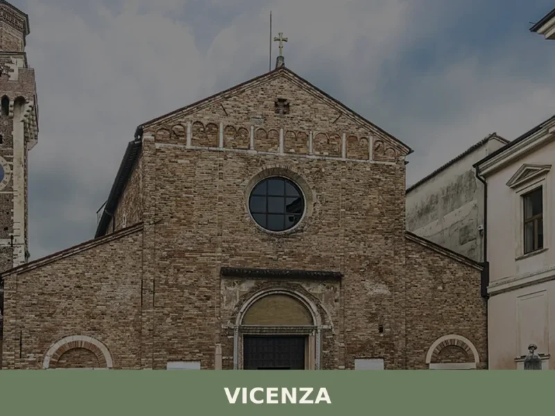
Vicenza
Village of Vicenza: Explore 1 architectural masterpiece, the Olympic Theatre, and taste traditional baccalà. Plan your Italy trip now!
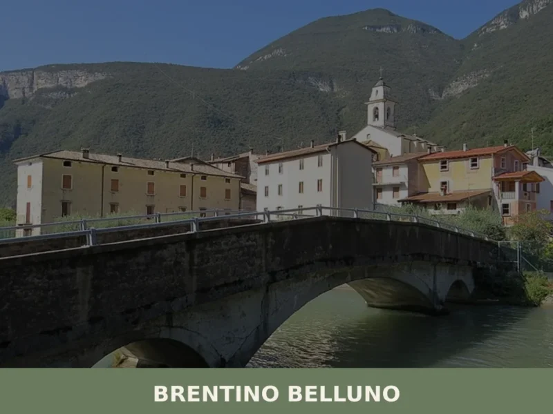
Brentino Belluno
At 137 metres above sea level, where the Adige Valley narrows between Monte Baldo and the Lessini Mountains, Brentino Belluno is a municipality of 1,363 inhabitants created in 1929 through the administrative merger of two distinct settlements: Brentino, on the left bank of the Adige, and Belluno Veronese, clinging to the eastern slope of Monte […]
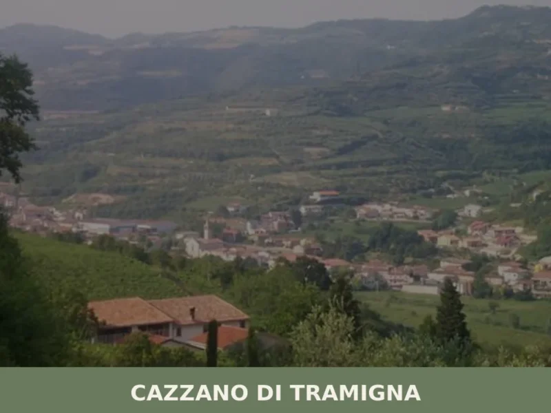
Cazzano di Tramigna
Cazzano di Tramigna has a population of 1,502 and occupies a basin at 100 metres above sea level in the Val Tramigna, a side valley that opens to the east of the Valpolicella area near Verona. The Tramigna stream — from which the village takes part of its name — crosses the municipal territory before […]
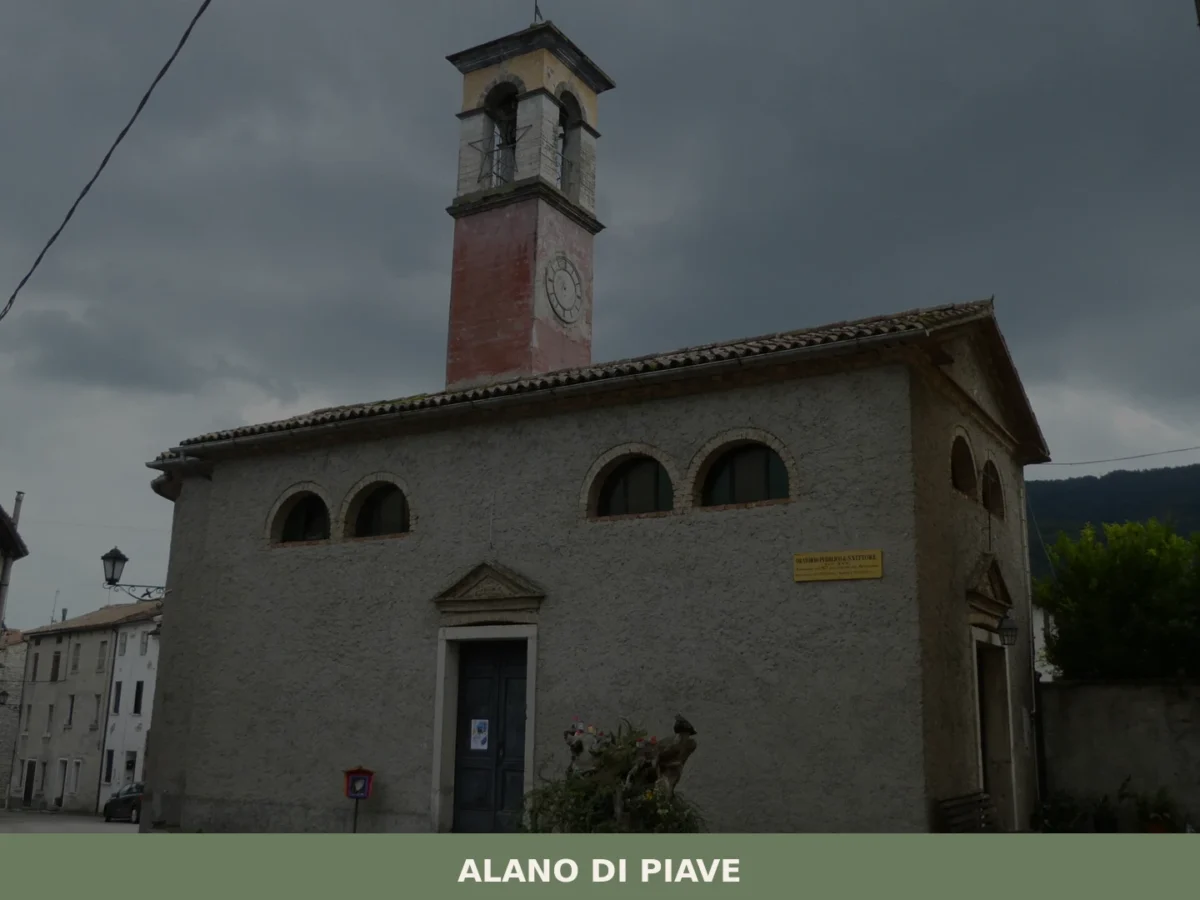
Alano di Piave
What to see in Alano di Piave? Explore the 5 main attractions of this Venetian village, blending history and nature. Your complete guide to not miss a thing. Plan your visit!
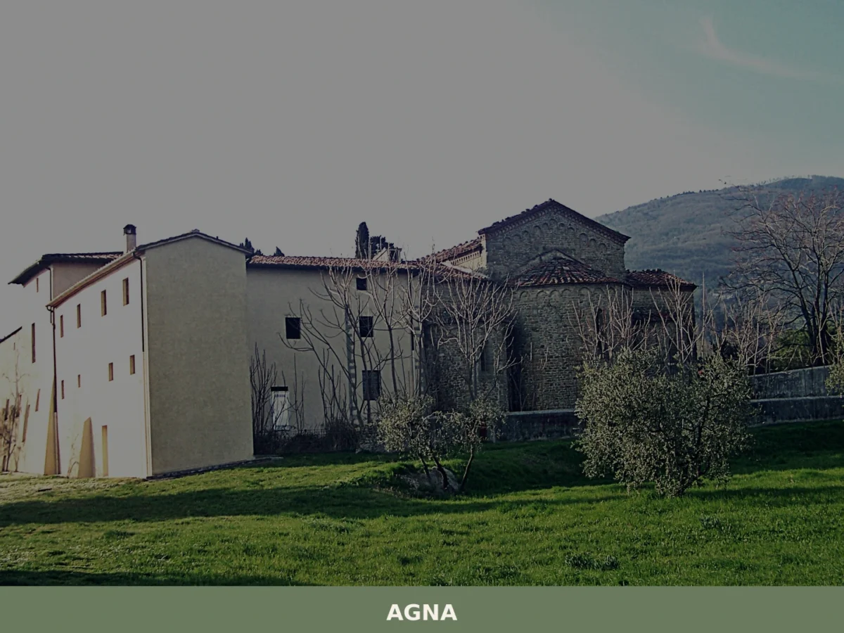
Agna
Discover what to see in Agna, a Padova province village of 3,174 people. History, food, travel tips and the canals of the Venetian plain explained.
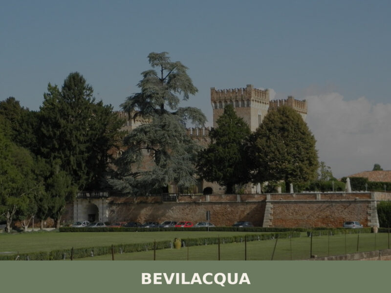
Bevilacqua
A castle rising over the Fratta River, fewer than 1,800 inhabitants, and the quiet agricultural heart of the Veronese plain. Here's what to see in Bevilacqua.

Loreggia
Loreggia holds 7 Venetian villas and the site of Italy's first rural credit cooperative, founded in 1883. A compact village with genuine historical depth.
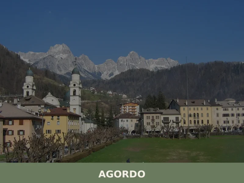
Agordo
Discover what to see in Agordo, Veneto: the Valle Imperina mine, the 1867 Mining School, Ladin culture, and the Cordevole valley in the Belluno Dolomites.


🏡 Know Ferrara di Monte Baldo better than we do?
If you’re a local or have been there, your knowledge matters: add what’s missing or fix a detail on this page.