


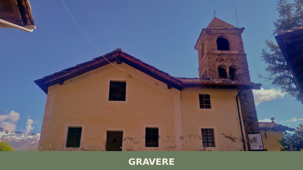
Gravere
 Mountain
681 residents, 10 scattered hamlets, and four centuries of life between two kingdoms. Gravere village in Piedmont traces its identity through stone boroughs and seasonal Alpine rhythms.
Gravere: A Mountain Village at the Edge of the Savoy and French Domains
The Gelassa torrent carved its gravel beds through this high valley long before any settlement took root, and the stone of the landscape still speaks that language—a terrain of loose stones and water-worn slopes where Gravere emerged not as a single town but as a loose cluster of hamlets, each one clinging to its own slope or meadow.
Gravere village in Piedmont unfolds across ten distinct boroughs scattered across 821 metres of altitude in the upper reaches of the Val di Susa, a territory where the torrent still marks the boundary between past and present. The settlement’s identity rests on two draws for visitors: its frontier geography and the layered history of a community that moved from religious dependence to municipal autonomy within a single century.
From Luximonte to a Frontier Parish: The Making of Gravere
The name Gravere carries within it the memory of water and stone. It derives from the Latin glarea—gravel—a reference to the loose deposits left behind by the torrent’s flow, particularly the Gelassa. The place was not always known by this name. In the testament of Abbone, founder of the nearby abbey of Novalesa, the territory appears as Luximonte. Later documents called it Yallasse, taking the name from the watercourse itself. The current name, Gravere, evolved from an older local term, Le Graviere.
For centuries, the hamlets that now constitute Gravere remained under the religious and administrative authority of Susa, the valley’s principal centre. In 1609, the inhabitants took initiative to build a new church in the small but central hamlet of Refornetto, and with it came the creation of a parish. Twelve years later, in 1621, Gravere achieved the status of an autonomous community—a formal separation that would place the new municipality on equal administrative footing with its neighbours.
Geography made Gravere a frontier settlement in the deepest sense. Until 1713, Gravere stood as the first municipality of the Duchy of Savoy for anyone approaching from Chiomonte, which lay across the border in the Dauphinate and therefore within the Kingdom of France. This proximity to contested territory left its mark. The hamlet of Bastia, whose name itself derives from the Italian bastita (a military stronghold), was born in the Middle Ages as a Savoyard defensive position. In 1629, the valley witnessed the battle of the Passo di Susa, when the French army under Louis XIII and Cardinal Richelieu defeated the forces of Carlo Emanuele di Savoia. Such conflicts brought devastation to the small settlements that clung to these slopes.
The torrent’s course through the territory was deliberately altered in 1728, redirecting not merely water but the very geography upon which residents depended for mills, irrigation, and access.
The Pattern of Scattered Boroughs
The Hamlets Along the Monginevro Road
Five boroughs—Morelli, Olmo, Saretto, Mollare, and the modern Valdisogno—lie along the historic Monginevro pass road and have merged over time into an almost continuous settlement. These were never isolated outposts but rather way-stations along one of the valley’s principal routes. The road itself remains a living link to the territory’s role as a passage between valleys and kingdoms.
Refornetto: The Administrative Heart
Refornetto occupies the central position within Gravere’s dispersed geography. The parish church, the Church of the Nativity of the Most Holy Mary, was established here in 1609, and the municipal seat remains in this hamlet to this day. This small borough serves as the administrative anchor that holds the scattered community together—a role it has maintained for more than four centuries.
Essimonte, Bastia, and the Gelassa Valley
Grande and Piccolo Essimonte, along with Bastia and Refornetto itself, cluster in proximity to the Gelassa torrent. Bastia recalls its medieval origins as a military outpost through its very name, while the paired hamlets of Essimonte sit closer to the water’s influence. These settlements follow the classical Alpine pattern of establishing themselves near reliable water sources while maintaining defensive positions on slope and ridge.
The Isolated Eastern Hamlets
Arnodera and Armona occupy isolated positions at mid-slope, well east of the main settlement. These hamlets represent a different strategy of land use—dispersed agriculture and pastoral spaces rather than concentrated village life. La Losa rises to 1,201 metres of altitude, positioning it higher still in the direction of Pian del Frais, marking the upper bound of inhabited territory before the landscape turns wholly to meadow and forest.
Alteretto: A Vanished Prominence
The hamlet of Alteretto lies abandoned today, though it was once among the principal localities of the commune. Its decline marks a shift in settlement patterns and economic priorities—a common experience across Alpine valleys in the 20th century, when lower hamlets with better road access drew population away from more isolated heights.
Mountain and Winter: The Landscape and Its Resources
The two mountain stations that developed in the latter half of the 20th century—Pian Gelassa and Pian del Frais—represent a brief but significant chapter in the valley’s economic life. Pian Gelassa, situated at 1,535 metres above sea level, emerged as a modest ski resort during the 1960s. Access improved when a road from Susa was completed on 27 July 1966. In 1969, a cable car was inaugurated; a chairlift followed roughly a year later. The facility remained open for less than a decade before an avalanche damaged the installations beyond repair. Discussions about reopening the station surfaced again from the mid-1990s onward, though no permanent return has materialized.
The territory’s alpine meadows, rock faces, and seasonal water sources define the rhythm of settlement and use. This is a landscape of altitude and exposure, where stone is the dominant material and water the principal divider of space.
Local Flavours and Seasonal Rhythms
The province of Torino, which Gravere belongs to, is known for a range of protected food products that reflect both the valley’s pastoral heritage and its connections to broader Piedmontese production. Among the designated products of the region are the Marrone della Valle di Susa—chestnuts specific to the valley—and the Nocciola del Piemonte, hazelnuts that anchor the region’s agricultural identity. Locally, the rhythm of seasons still governs what appears on tables: Alpine herbs, stored vegetables, and the preserved meats that were historically essential to mountain survival.
The Via Francigena, the great pilgrimage route to Rome, passes through this territory, connecting Gravere to centuries of religious and cultural traffic. This passage has always meant that the village was never wholly isolated, even in centuries when roads were poor and winter cut off movement for months.
Planning Your Visit
Gravere is accessible by car from Turin (Torino), following the Val di Susa west. The village sits within the administrative ambit of the Turin metropolitan area and lies approximately 60 kilometres from the city centre. Road infrastructure connects the scattered hamlets, though exploring the full extent of the comune requires patience and a clear map: the boroughs do not announce themselves with fanfare.
The best season for a visit depends on your interests. Summer and early autumn offer clear weather, accessible mountain meadows, and the possibility of walking between hamlets. Winter brings snow and closes higher elevations but creates the seasonal silence for which Alpine valleys are valued. Early autumn is marked by the feast of the Natività della Maria Vergine on 8 September, the patron saint, an occasion when local religious and community observance brings the settlements together.
Nearby settlements such as Novalesa, home to a significant medieval abbey, or Susa itself, offer larger services and complementary historical interest. The Val di Susa as a whole forms a coherent territory for exploration, linking several communities across the mountains.
| Departure Point | Distance | Travel Time |
|---|---|---|
| Turin (Torino) city centre | ~60 km | ~1 hour 15 minutes |
| Susa (town centre) | ~12 km | ~20 minutes |
| Novalesa | ~8 km | ~12 minutes |
The comune maintains an official website at https://www.comune.gravere.to.it where practical information regarding municipal services, events, and local governance can be found. The population of 681 residents means that Gravere retains the rhythm and scale of a genuinely small mountain community, not a reconstructed heritage site or resort.
Frequently asked questions about Gravere
When is the best time to visit Gravere?
Summer and early autumn offer the most pleasant conditions for exploring Gravere's mountain terrain and scattered hamlets. The village celebrates its patron saint, the Nativity of Mary, typically on September 8th, making this an ideal time for cultural immersion. Winter transforms the landscape but requires preparation for alpine conditions at 821 metres altitude. Spring brings wildflowers to the Val di Susa slopes.
How do I reach Gravere from Turin?
Gravere is located in the upper Val di Susa, approximately 50 kilometres west of Turin. Access via the A32 motorway (Turin-Bardonecchia) toward Susa, then follow regional roads into the valley. The nearest railway station is at Susa, about 20 kilometres away. Local buses connect the valley settlements, though a personal vehicle offers greater flexibility for exploring the village's ten scattered boroughs.
What is the etymology of Gravere's name?
The name Gravere derives from the Latin term 'glarea,' meaning gravel, referencing the loose stone deposits left by the Gelassa torrent flowing through the high valley. Historically, documents refer to the territory as Luximonte and later Yallasse—named after the watercourse itself. The current name reflects the geological character of the landscape shaped by water and stone over centuries.
How long should I plan to spend in Gravere?
A day visit allows exploration of the village's ten hamlets and appreciation of its scattered alpine settlement pattern. For deeper engagement with local culture and nearby Val di Susa attractions, plan two to three days. This duration permits hiking in surrounding slopes, visiting patron saint celebrations if timed correctly, and experiencing the seasonal rhythms that define mountain community life.
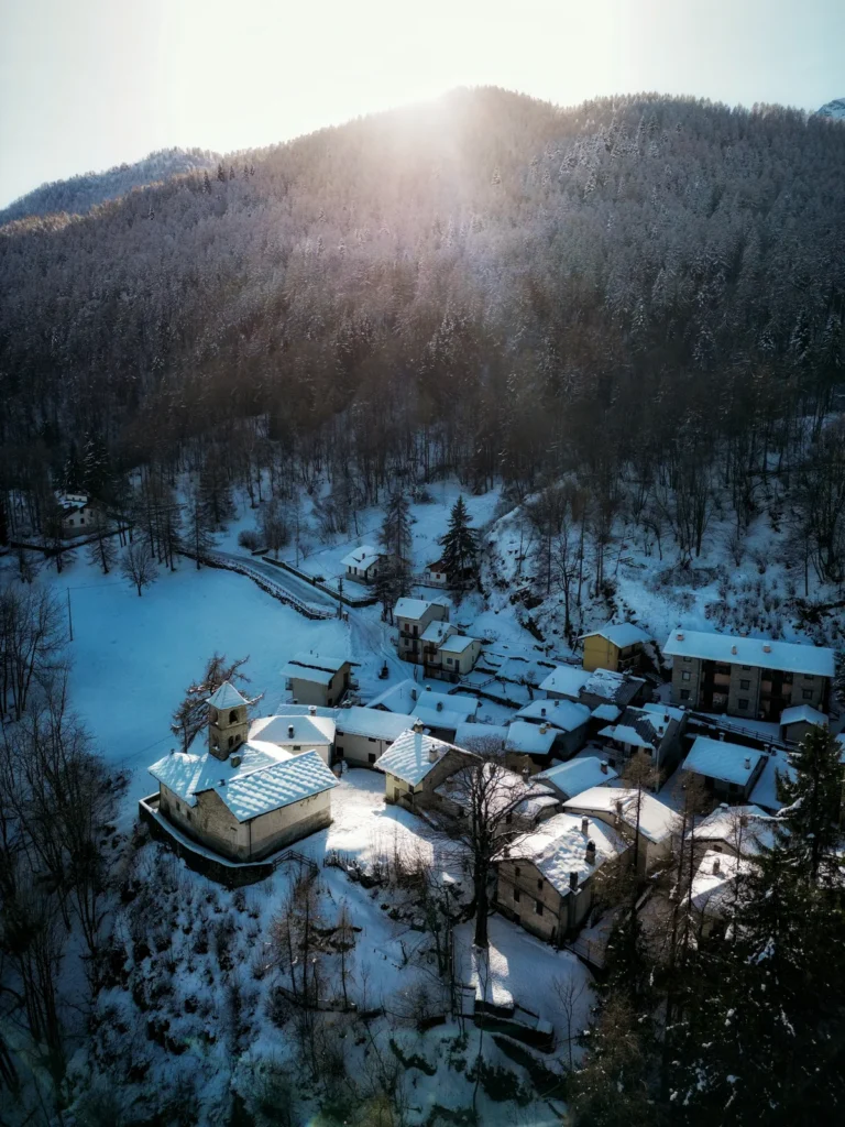
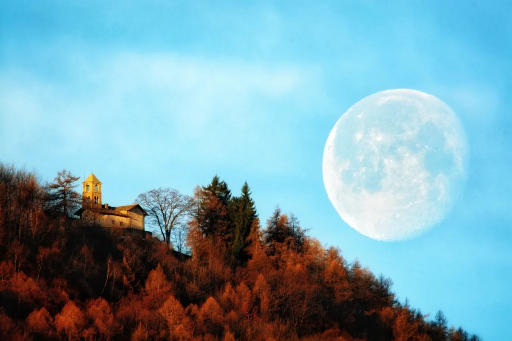
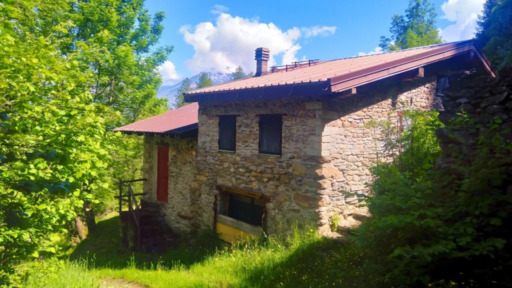
📷 Photo Gallery — Gravere
In Piedmont More villages to discover
Perosa Canavese
 Plains
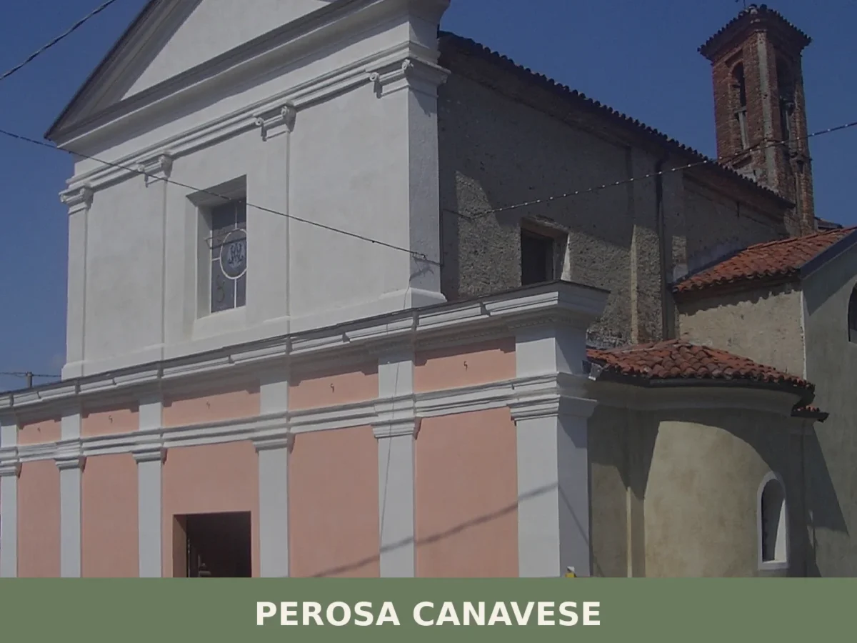
499 residents, a tower-gate carved into the village coat of arms, and a cedar imported from Morocco in 1820. Perosa Canavese rewards a careful visit.
Sauze d’Oulx
Mountain
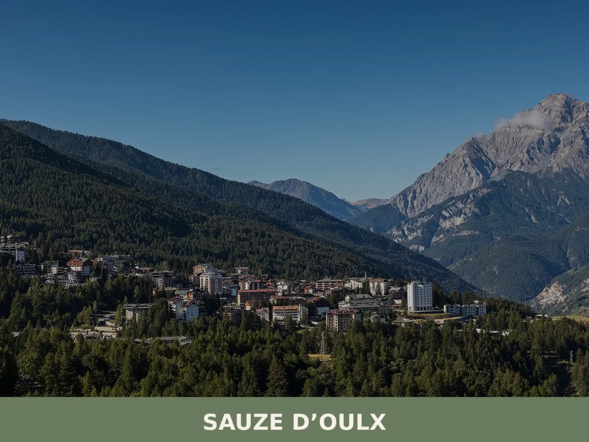
A mountain village of just over 1,000 residents at 1,509 metres altitude in the high Susa Valley. Winter sports and Alpine heritage define its identity.
Caselette
 Hills
Hills
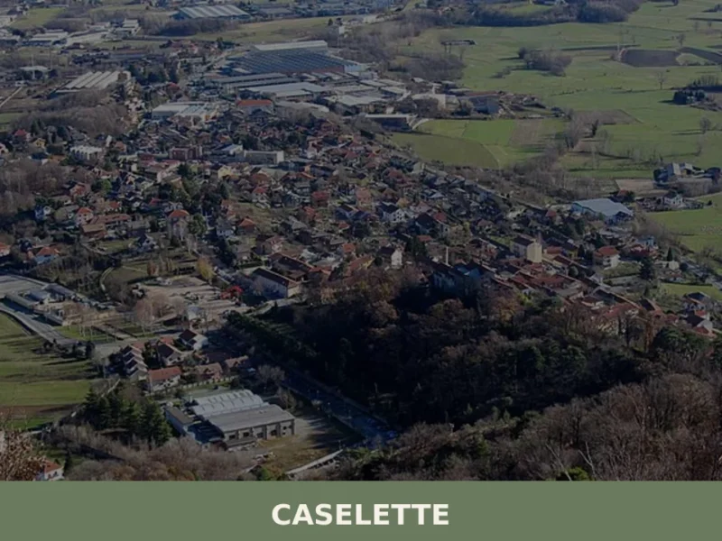
At the foot of Monte Musinè, where the plain of Turin gives way to the first folds of the Val di Susa, a mass of rock the size of a house sits in open ground. The Pietra Alta, one of the largest glacial erratics in the whole of Piedmont, was deposited here by glacial movement […]
Maglione
Hills
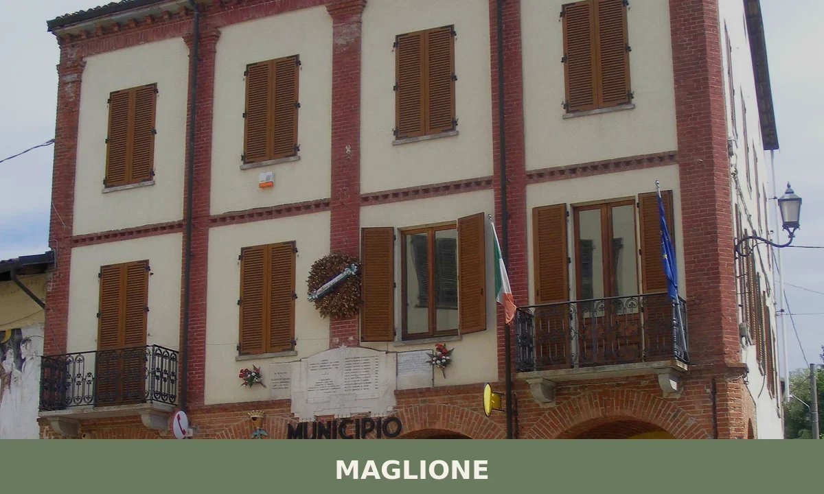
406 inhabitants, 167 contemporary artworks and a September procession with ancient Celtic echoes: Maglione offers a concentrated, surprising cultural experience in the Torinese hills.
Foglizzo
Plains
Scopri Foglizzo, affascinante borgo del Piemonte ricco di storia, tradizioni e paesaggi mozzafiato. Una meta imperdibile per chi ama l'Italia autentica.
Piverone
Hills
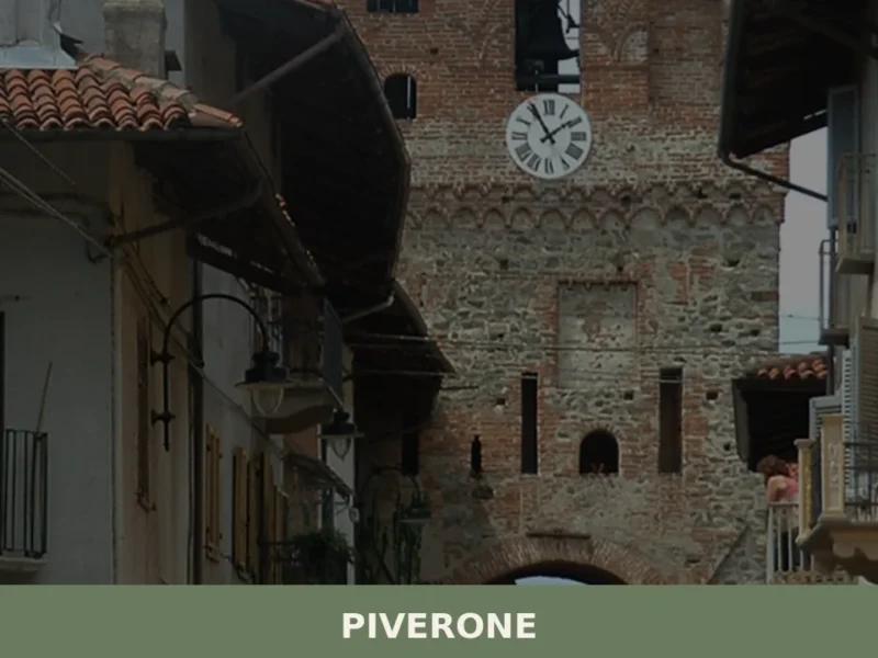
Piverone is a comune of 1,225 inhabitants in the Metropolitan City of Turin, sitting in the Canavese district of Piemonte at the foot of the Monferrato hills. Its Piedmontese name, Pivron, pronounced /pɪw’rʊŋ/, signals a linguistic heritage rooted deep in the region’s Franco-Provençal and Occitan-influenced dialects. For anyone researching what to see in Piverone, the […]
Marentino
Hills
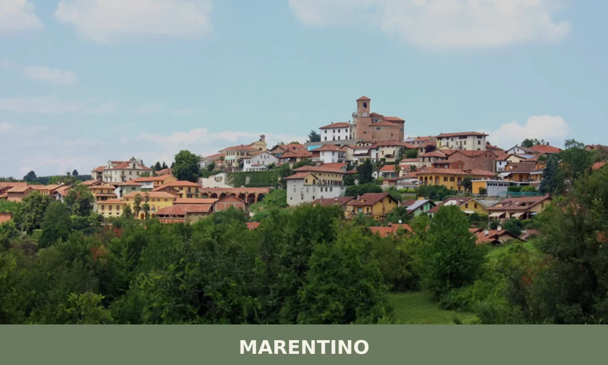
Three ancient boroughs, six historic churches and a Romanesque monument listed since 1888 make Marentino a compact but layered destination east of Turin.

Acceglio
Mountain
Discover what to see in Acceglio, a 170-resident mountain village at the head of Valle Maira in Cuneo, Piemonte — trails, churches, alpine pastures and local food.
Albiano d’Ivrea
Hills
what to see ad Albiano d’Ivrea: con 1.628 abitanti, esplora la Chiesa Parrocchiale e i resti del ricetto medievale. Pianifica il tuo viaggio ora!
Bairo
Hills
The earliest confirmed record of Bairo dates to a document from 1003, when Marquess Arduino of Ivrea — who would shortly become King of Italy — confirmed landholdings in this portion of the Canavese between the moraine ridge and the foothills of the Graian Alps. Today the municipality has 806 inhabitants, spread across the historic […]



🏡 Know Gravere better than we do?
If you’re a local or have been there, your knowledge matters: add what’s missing or fix a detail on this page.