


Arielli
 Hills
Hills
Arielli, a small village in the province of Chieti: discover its origins, what to see, and how to get there. A practical guide to this Abruzzo village.
Discover Arielli
Arielli, a village of 1,074 inhabitants in the province of Chieti, sits at 298 metres above sea level on a clay ridge overlooking the Arielli torrent valley. During World War II, the village was almost entirely destroyed in fierce fighting between Allied and German forces during the winter of 1943–1944. Rebuilt in the postwar decades, it now occupies a landscape of vineyards and olive groves stretching toward the Adriatic coast, roughly 15 kilometres to the east. Understanding what to see in Arielli means reckoning with this layered history — the medieval roots, the wartime destruction, and the slow, deliberate reconstruction that followed.
History of Arielli
The earliest documented references to Arielli date to the medieval period, when the settlement appears in records as a small agricultural centre under feudal control within the broader administrative orbit of the Province of Chieti. The village’s name likely derives from the torrent Arielli, the watercourse that cuts through the valley below — itself possibly rooted in a Latin or pre-Latin term related to water flow or dry riverbeds, common in central Italian topography. Like many settlements along the Abruzzo hill country, Arielli developed as a fortified agricultural community, its economy tied to cereal cultivation, olive oil, and wine production.
The defining event in Arielli’s modern history is the Battle of Arielli, fought on 29 January 1944. New Zealand, British, and Indian troops of the Eighth Army attempted to break through German defensive positions along the Gustav Line’s northern extension. The fighting was intense and costly — New Zealand forces alone suffered significant casualties, and the assault ultimately failed to dislodge the German defenders. The village itself was reduced to rubble. After the war, Arielli was rebuilt largely from scratch, and the present-day urban fabric reflects mid-twentieth-century reconstruction rather than medieval planning.
A Commonwealth War Cemetery, maintained by the Commonwealth War Graves Commission, lies in the countryside near the village. It holds the graves of over 900 servicemen from New Zealand, the United Kingdom, India, Canada, and South Africa — a stark, orderly field that documents the scale of the 1943–1944 campaigns across this part of Abruzzo.
What to see in Arielli: 5 key sites and landmarks
1. Arielli War Cemetery
Maintained by the Commonwealth War Graves Commission, this cemetery contains more than 900 burials from the 1943–1944 fighting. The graves are arranged in precise rows across a green field outside the village, each headstone bearing name, rank, regiment, and date of death. New Zealand and Indian servicemen are particularly well represented. The site draws visitors from the Commonwealth nations each year, especially around Anzac Day.
2. Chiesa di San Michele Arcangelo
The parish church of San Michele Arcangelo was rebuilt after the war on the site of the earlier medieval church, which was destroyed in the 1944 bombardments. The current structure is mid-twentieth-century in design, with a simple stone façade. Inside, the church preserves a few surviving devotional objects and serves as the main place of worship for Arielli’s residents.
3. The Historic Centre
Arielli’s centro storico is compact and largely reconstructed, but its layout still follows the contours of the original hilltop settlement. Walking its narrow streets, you notice the characteristic post-war Abruzzese building style — load-bearing masonry walls, small balconies, and modest plaster facades. The central piazza offers a clear view east toward the Adriatic coast on days when the air is dry.
4. The Arielli Torrent Valley
Below the village, the Arielli torrent carves through a landscape of clay hills, vineyards, and olive groves. The valley floor is agricultural — Montepulciano d’Abruzzo grapevines dominate the terraced slopes. In spring, the clay soil turns vivid ochre and grey after rain, and the contrast with the green vine rows is striking. The area is accessible by farm tracks and secondary roads.
5. Panoramic viewpoint toward the Maiella
From the western edge of the village, a clear sightline extends toward the Maiella massif, the second-highest mountain group in the Apennines south of the Gran Sasso. On winter mornings, when the peaks carry snow and the air is cold and transparent, the mountain wall appears close enough to touch. This vantage point also reveals the terraced agricultural landscape that defines the Chieti hill country.
Local food and typical products
Arielli sits within one of Abruzzo’s most productive agricultural corridors. The surrounding hillsides are planted with Montepulciano and Trebbiano d’Abruzzo grapevines — the two dominant varietals of the region — and olive groves that yield a peppery, greenish oil typical of the Chieti hills. Local production follows patterns common across the Frentano area: families press their own oil in autumn, and small-scale winemakers sell directly from their cantine. Bread is still baked in wood-fired ovens in some households, and dried pasta — particularly maccheroni alla chitarra, cut with the characteristic wire-strung wooden frame — remains a staple.
Typical dishes include arrosticini (small skewers of castrated sheep meat grilled over coals), pallotte cacio e ova (fried balls of cheese and egg in tomato sauce), and scrippelle ‘mbusse (thin crêpes served in broth). The village does not have a large restaurant scene, but a few trattorie and agriturismi in the surrounding countryside serve these regional dishes. During local festivals, temporary food stalls appear in the piazza, offering porchetta, grilled sausages, and fried dough.
Best time to visit Arielli
The climate in Arielli is Mediterranean with continental influences — summers are hot and dry, winters mild but occasionally damp. April through June is the most comfortable period for walking the countryside: the vineyards are leafing out, temperatures hover between 15°C and 25°C, and the Adriatic coast is visible on clear days. Late September through October brings the grape and olive harvests, and the village takes on a quiet agricultural rhythm. If you plan to visit the War Cemetery, late April coincides with Anzac Day commemorations, which draw delegations from New Zealand and Australia.
Winter can be grey and damp, though snow is uncommon at 298 metres. The village’s festa patronale, honouring San Michele Arcangelo, is celebrated in late September and includes a procession, a communal meal, and live music in the piazza. It is one of the few occasions when Arielli’s streets fill with activity beyond the daily agricultural routine.
How to get to Arielli
Arielli is accessible by car via the A14 Adriatica motorway. Exit at Ortona and follow the SP116 inland — the drive takes roughly 15 minutes. From Pescara, the distance is about 35 kilometres, or 40 minutes by car along the coast road and then inland. From Rome, the journey is approximately 230 kilometres (around 2.5 hours via the A25 motorway to Pescara, then south on the A14). The nearest railway station is Ortona, on the Adriatic coastal line operated by Trenitalia, with regular connections to Pescara, Ancona, and Bari. Pescara Abruzzo Airport (PSR) is the closest commercial airport, receiving flights from several European cities, particularly via Ryanair. Bus connections to Arielli are limited; a car is the most practical option for reaching the village and exploring the surrounding countryside.
More villages to discover in Abruzzo
Arielli belongs to a wider network of small Abruzzese communities that reward careful, slow exploration. Inland, toward the mountainous spine of the region, the landscape shifts dramatically from clay hills to limestone peaks. Calascio, in the province of L’Aquila, sits at over 1,400 metres on the slopes below Rocca Calascio — one of the highest fortifications in the Apennines. The contrast with Arielli’s low-altitude vine country is stark: bare rock, alpine pasture, and wide-angle views across the Gran Sasso plateau replace the gentle green folds of the Chieti hills.
Closer in character to Arielli’s agricultural setting, though distinct in its own way, is Aielli — a village in the Fucino plain area that has reinvented itself through a large-scale mural art project covering its historic centre. Together, these villages illustrate the range of what Abruzzo’s small communities offer: wartime memory, mountain fortifications, contemporary art, and the enduring agricultural landscapes that connect them all.
Nearby Villages near Arielli
In Abruzzo More villages to discover
Carsoli
 Mountain
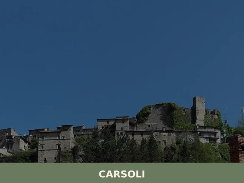
At 616 metres above sea level, along the route connecting Rome to L’Aquila across the Piana del Cavaliere, Carsoli has 5,518 inhabitants and occupies a position that over the centuries has defined its role as a junction between Lazio and the interior of the Apennines. Asking what to see in Carsoli means exploring a territory […]
Rocca di Cambio
Mountain
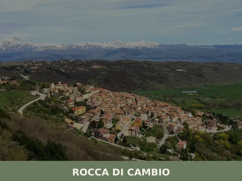
What to see in Rocca di Cambio, Italy: explore the Abbey of Santa Lucia, Campo Felice ski resort and the Sirente-Velino Park. 495 inhabitants. Discover it now.

Casoli
Hills
What to see in Casoli, Abruzzo, Italy: explore Castello Masciantonio, Lake Casoli 4 mi away, and a medieval town listed among Italy's most beautiful villages. Discover it now.
Canistro
Mountain
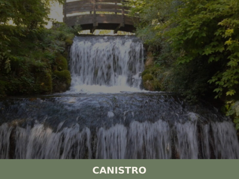
A village of mineral springs and stone alleys split between two elevations in the Valle Roveto. Here is what to see in Canistro, Abruzzo.
Giuliano Teatino
Hills
Giuliano Teatino is a small village in Abruzzo, in the province of Chieti. Discover its origins, monuments and how to visit: a practical guide to plan your trip.
Civita d’Antino
Mountain
In 1878, the Danish painter Kristian Zahrtmann reached Civita d’Antino for the first time and decided to return every summer until 1911, turning this small town in the Valle Roveto into an artistic colony frequented by dozens of Scandinavian painters. Even today, anyone wondering what to see in Civita d’Antino will find traces of that […]
Basciano
Hills
What to see in Basciano (Italy) at an altitude of 400m. Explore the historic church and medieval tower. Discover local traditions and festivals.
Atri
Hills
Atri, in the province of Teramo, stands at 442 meters above sea level, an altitude that allows the city to overlook the Teramo hills. Its origins lie in ancient Hatria, a Picene settlement and later an important Roman municipality, known for minting its own coins as early as the 3rd century BC. This historical richness […]
Gagliano Aterno
Mountain
What to see in Gagliano Aterno, Italy: a 14th-century castle, Baroque stucco church and a village of 251 inhabitants 45 km from L'Aquila. Discover the full guide.
Villavallelonga
Mountain
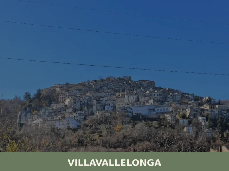
What to see in Villavallelonga, Italy: explore the national park, botanical garden and 927-inhabitant village of Abruzzo. Discover top attractions and travel tips.




🏡 Know Arielli better than we do?
If you’re a local or have been there, your knowledge matters: add what’s missing or fix a detail on this page.