


Lusigliè
 Plains
554 residents, a medieval parish and two millennia of layered history make Lusigliè a compelling stop in the Alto Canavese, 30 km north of Turin.
Lusigliè: a Canavese Village Between Roman Traces and Savoy History
Flat, wide and crossed by the slow channels of the Orco torrent, the plain around this small Canavese village carries a quietness that has little to do with remoteness. The alluvial soil here has been farmed for centuries, and the grid-like pattern of fields still echoes, faintly, the Roman centuriation that the archaeologist Plinio Fraccaro identified across this territory. The air in winter can bite hard — temperatures well below zero are not unusual — and summer arrives with a fullness that once made maize the backbone of every household economy.
Lusigliè, set in the Alto Canavese about 30 km north of Turin and 23 km from Ivrea, draws visitors for two things above all: a parish church whose origins reach back to the medieval diocese of Ivrea, and a documented history that moves from Celtic settlement through Roman colonisation, feudal disputes and finally Savoy rule. Small in surface area — just over five square kilometres — the comune sits entirely on the alluvial plain, crossed by the Orco, the Malesina and the Valassa.
From Celtic Settlement to the Kingdom of Sardinia
The earliest inhabitants of this area are believed to have been Ligurian-Celtic peoples who spread across much of Piedmont and settled predominantly north of Turin. Roman legions subdued these tribes in 220 BC, and the territory gradually took on the ordered geometry of a Roman military and agricultural zone. Fraccaro’s discovery of centuriation traces confirms that the land was divided and distributed with the precision typical of Roman colonial organisation, pointing to a site of at least modest strategic importance.
The first written record of the settlement appears in the eleventh century. In 1019, Ottone Guglielmo, son of Adalberto II, Marquess of Ivrea, donated all his Italian holdings not yet seized by the Imperial Chamber to the Abbazia di Fruttuaria. That act of donation is the oldest surviving document to mention the village by name. Lordship over the territory passed in time to the bishops of Ivrea and then to the counts of Biandrate di San Giorgio. By around the fourteenth century the village found itself caught between competing powers: the Biandrate clashed with the Marquesses of Monferrato, and the neighbouring communities of Feletto and San Giorgio both sought to extend their control. The village received its own statutes toward the end of the 1300s, a sign of a community asserting at least a degree of local autonomy.
The Peace of Cherasco in 1631 ended the long season of contested lordships: Lusigliè became Savoy territory, its jurisdiction absorbed into one of the most durable dynastic structures in Italian history. During the War of the Spanish Succession, in the early eighteenth century, French forces moving toward Turin destroyed the castle of the Biandrate — a fortification with high walls and a drawbridge over a defensive ditch. The French administration later sold the ruins to a local builder who stripped the stone for materials. Whatever remained was levelled at the beginning of the nineteenth century, and the land was sold off. Nothing of the castle survives today.
The historian Bertolotti, travelling through the Canavese, noted that the inhabitants of Lusigliè, Ciconio and Ozegna were known locally as gavasun — a dialect word meaning “those with a goitre” — because the iodine-poor alluvial soil caused endemic goitre among the population. The condition disappeared once iodisation of salt became compulsory.
The Parish, the Castle Ruins and the Old Wash-houses
Parrocchiale di San Giorgio
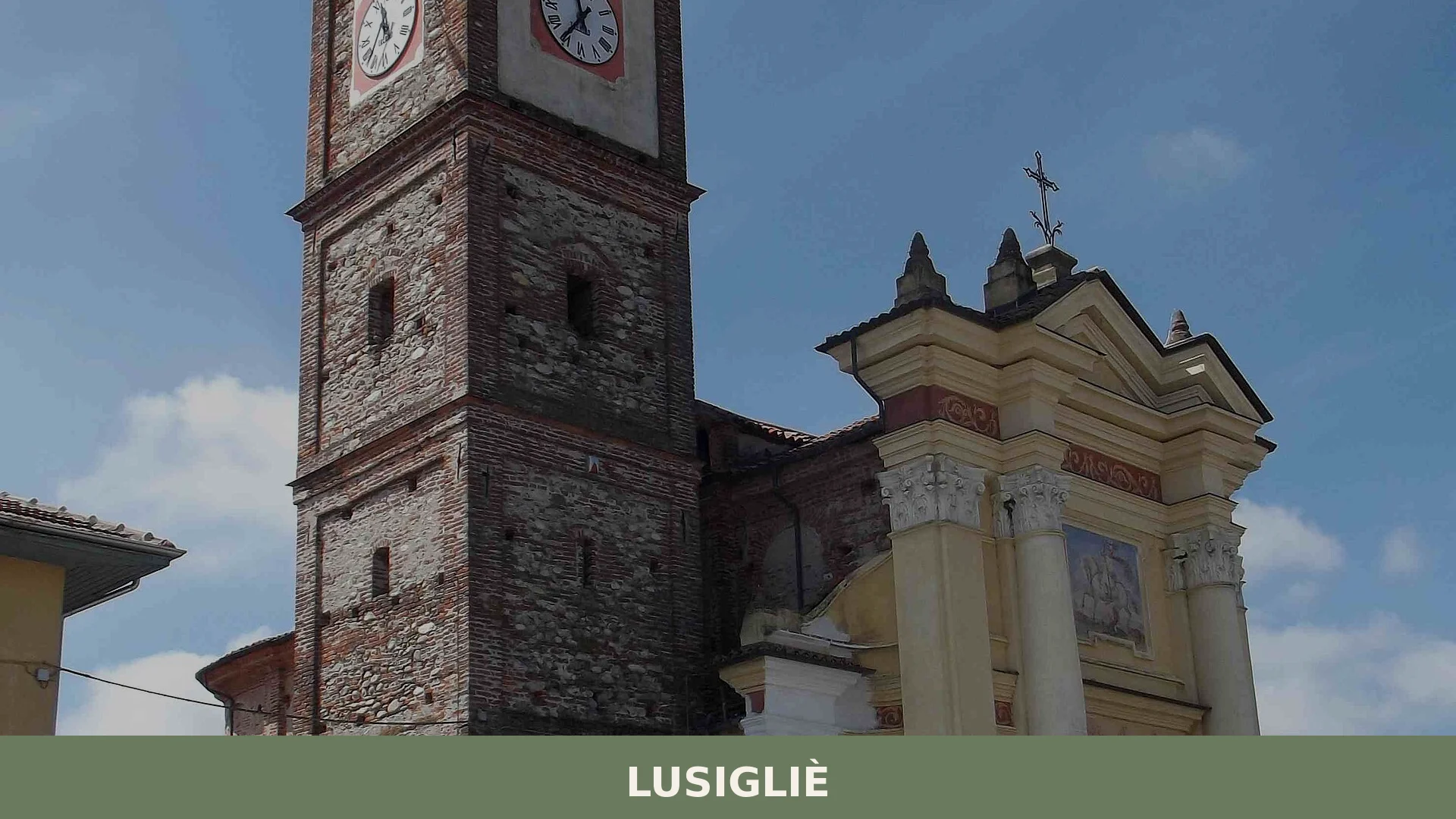
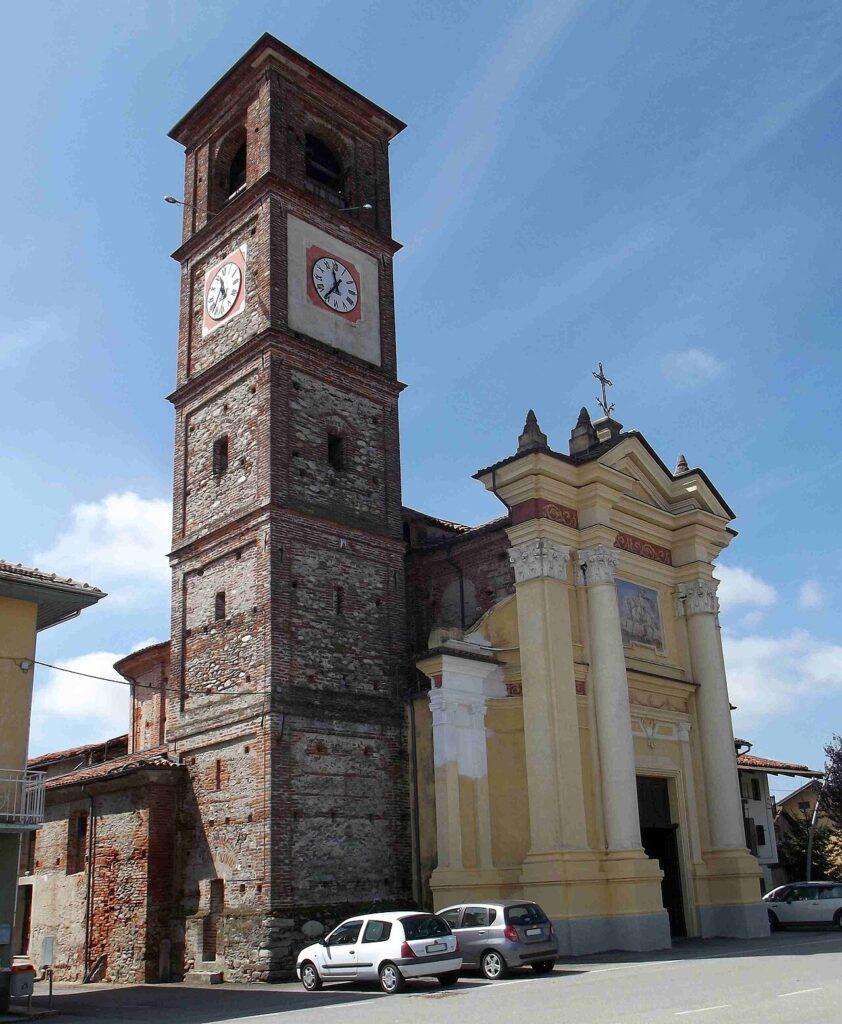
The parish church dedicated to Saint George stands as the main architectural reference point in the village. Its origins are considerably older than the current structure, which dates from the nineteenth century. The church was once dependent on the pieve of Ozegna, but from 1368 it came under the authority of the bishop of Ivrea, to whom it paid a tithe. Inside, the most notable surviving object is a seventeenth-century chalice attributed in the parish records to an anonymous Comes de Castro. The building itself is plain in its exterior, as is common in this part of the Canavese plain, but its documentary continuity across more than six centuries gives it a weight that goes beyond its modest scale.
The Site of the Biandrate Castle
No physical trace of the medieval castle of the Biandrate counts remains visible today. The fortification, which once featured solid perimeter walls and a drawbridge over a wide ditch on its southern side, was systematically dismantled after French forces damaged it during the early eighteenth century. The land was later cleared and sold. Knowing where it stood — within the compact centre of the village — helps orient a visit and understand how Lusigliè functioned as a fortified node in the medieval Canavese landscape. The absence itself tells something about how thoroughly the Napoleonic and post-Napoleonic periods reshaped rural Piedmont.
The Old Wash-houses
Several antique wash-houses survive on the municipal territory. These communal laundry structures, fed by channels connected to the Orco torrent system, were practical meeting points in a farming community where water management was central to daily life. They are modest constructions, but they signal the dense network of irrigation channels that has always shaped agriculture here. Walking past them today, visitors can still trace the lines of the old water routes that made maize cultivation viable across the flat, sometimes flood-prone fields.
The Artificial Fishing Lake
On the municipal territory there is a small artificial lake used for sport fishing. It sits within the same agricultural and hydraulic landscape as the old wash-houses and the irrigation channels. It is a simple facility, suited to a quiet afternoon rather than a planned excursion, but it adds a recreational dimension to what is otherwise a predominantly farming environment. Visitors who combine it with a walk along the irrigation channels get a clear sense of how the Orco’s water has been channelled and redistributed across this plain over many generations.
Maize, Soil and the Flavours of the Canavese Table
The economy of Lusigliè was almost entirely agricultural until the early twentieth century, and maize cultivation remained the central crop long after other activities arrived. The alluvial soil of the Orco plain, rich in sediment but naturally low in iodine, shaped not only the landscape but also the physical history of its people. Today a tannery and several small artisan workshops operate alongside the agricultural base, together with the Officine Meccaniche Giordano, a mechanical engineering firm producing automotive components.
At the table, this corner of the Canavese shares the broader food culture of the Turin province. The wines closest to Lusigliè include the Erbaluce di Caluso DOCG — a white produced from the native Erbaluce grape across a defined zone that takes in much of the Alto Canavese — and the Canavese DOC, which covers both red and white styles from the same area. These are territorial wines, not exclusive to this village, but they are the natural accompaniment to a meal in this part of Piedmont. Visitors looking for a fuller picture of local food traditions will find the market towns of the surrounding Canavese better equipped than Lusigliè itself.
Planning a Visit to Lusigliè
Spring and early autumn offer the most comfortable conditions for a visit. Winters here can be genuinely cold — the plain offers no shelter from the Alpine air, and temperatures in the coldest months average around 1.7 °C, with occasional sharp drops well below zero. July is warm, averaging around 22 °C, but the flat terrain without shade can make midday walking uncomfortable. The village is also in a zone with some hydrogeological risk: the Orco has flooded its plain more than once, most notably in 1994, when the bridge connecting Lusigliè to Feletto collapsed, and again in 2002.
If you arrive by car, the most direct access is via the A5 Torino–Aosta motorway. The San Giorgio interchange sits about 5 km from the village. Lusigliè is also reachable from the railway station at Feletto, roughly 3 km away, though local bus connections should be checked in advance. The village itself is small enough to cover on foot in a short time; the main points of interest — the parish church, the old wash-houses and the surroundings of the former castle site — are all within easy walking distance of the centre.
Lusigliè works well as a stop within a wider itinerary through the Alto Canavese. The town of Agliè lies nearby and offers a more extensive set of historic monuments. To the east, Barone Canavese is another compact Canavese settlement worth including on the same circuit. Visitors who want to explore the southern fringe of this area might also stop at Foglizzo, a village on the Canavese plain that shares something of the same agricultural character. A day is more than enough for Lusigliè itself; half a day paired with one of these neighbouring stops gives a more rounded impression of the landscape and local culture.
| Departure | Distance | Approximate time |
|---|---|---|
| Turin (city centre) | approx. 30 km | 30–40 min by car |
| Ivrea | approx. 23 km | 25–35 min by car |
| Agliè | approx. 10 km | 15 min by car |
| Feletto railway station | approx. 3 km | 5 min by car or 35 min on foot |
Frequently asked questions about Lusigliè
How do I reach Lusigliè from Turin by car?
Lusigliè is located approximately 30 kilometres north of Turin in the Alto Canavese area. Drive north from Turin towards Ivrea, following regional roads through the Canavese valley. The village sits on the alluvial plain carved by the Orco torrent. For precise directions and motorway exits, consult GPS navigation or contact the municipal office at www.comune.lusiglie.to.it for current route recommendations.
When is the best time to visit Lusigliè?
Visit during autumn, particularly around October 7th, when the Patron Saint feast of Madonna del Rosario is celebrated. Spring and early summer are ideal for experiencing the agricultural landscape as maize fields come into growth. The plain's seasonal rhythm defines local life, making harvest periods especially atmospheric for understanding the territory's working rural character.
What historical periods are visible in Lusigliè?
Lusigliè's history layers Celtic settlement by Ligures tribes, Roman administrative consolidation from 220 BC onwards, and medieval documents. A ghost castle once commanded the plain. The land itself preserves Roman field patterns in its layout. The Church of San Giorgio bell tower marks the horizon, anchoring centuries of habitation across this five-square-kilometre territory shaped by the Orco torrent.
How long should I plan to spend in Lusigliè?
Plan a half-day to full-day visit. The small village (population 554) is best experienced by walking its streets and visiting the Church of San Giorgio. The real value lies in observing the working agricultural landscape, cycling the irrigation-channel network, and absorbing the pace of rural Canavese life. Combine with nearby Alto Canavese villages for extended exploration.
What agricultural heritage defines the landscape around Lusigliè?
Maize cultivation remains central to Lusigliè's identity and visible landscape. The territory is shaped by centuries of alluvial deposits from the Orco, Malesina and Valassa torrents, creating ideal conditions for irrigation farming. Fields, irrigation channels, and farmstead profiles dominate the horizon. This working agricultural community allows visitors to experience genuine Canavese rural rhythms unchanged by tourism.
📷 Photo Gallery — Lusigliè
In Piedmont More villages to discover
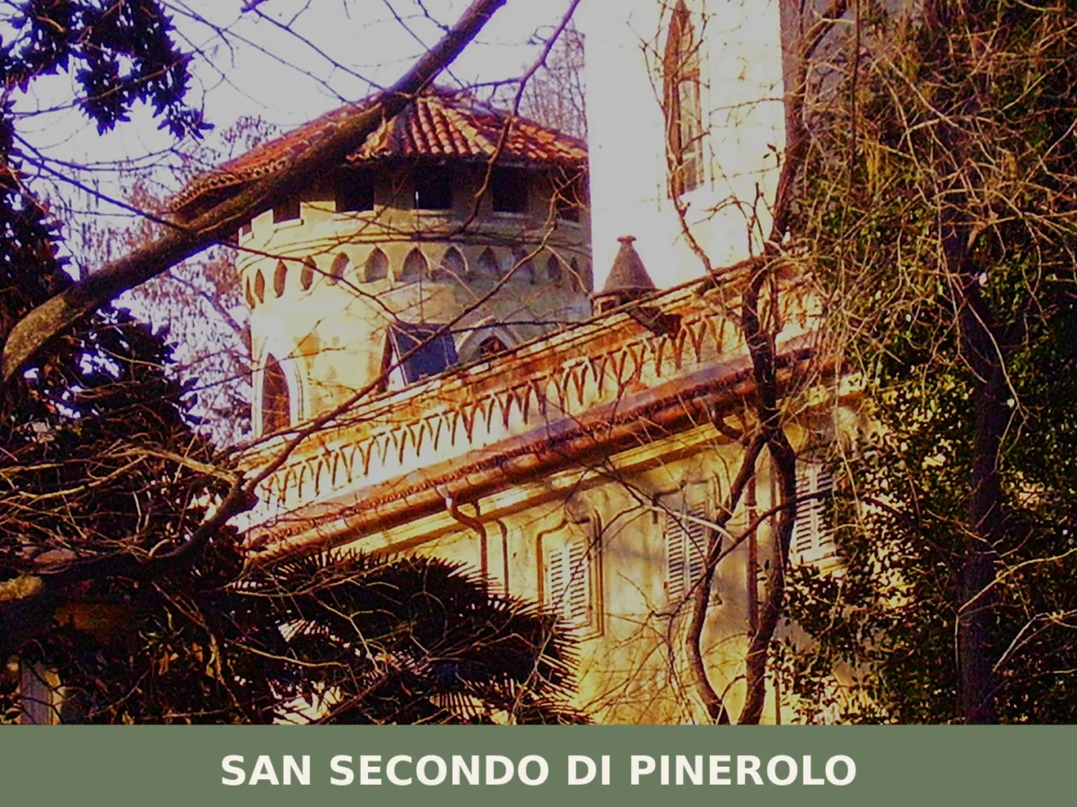
San Secondo di Pinerolo
 Hills
Hills
Population 3,643. A small Piedmont comune where 18th-century terracotta crafts shaped the landscape and baroque architecture anchors memory.
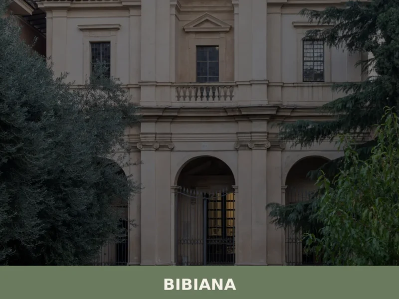
Bibiana
Hills
Bibiana sits at the entrance to the Val Pellice, a valley that cuts into the Cottian Alps southwest of Turin, and counts just over 3,300 residents within the metropolitan city of Torino. The village belongs to the Unione Montana del Pinerolese, a grouping of mountain and foothill municipalities that share administrative and territorial planning functions. […]
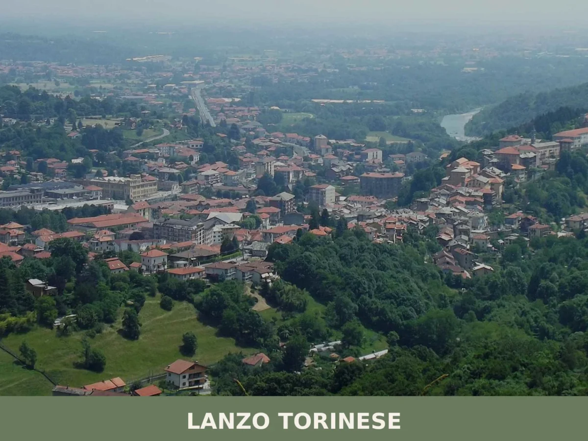
Lanzo Torinese
 Mountain
A town of nearly 5,000 residents where Alpine valleys meet industrial heritage. Medieval castle ruins and 14th-century bridge engineering define its character.
Cafasse
Hills
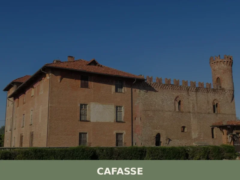
What to see in Cafasse, Italy: 25 km from Turin, explore the Valli di Lanzo gateway, local cuisine and festivals. Discover the best of this Piemonte village.
Mercenasco
Hills
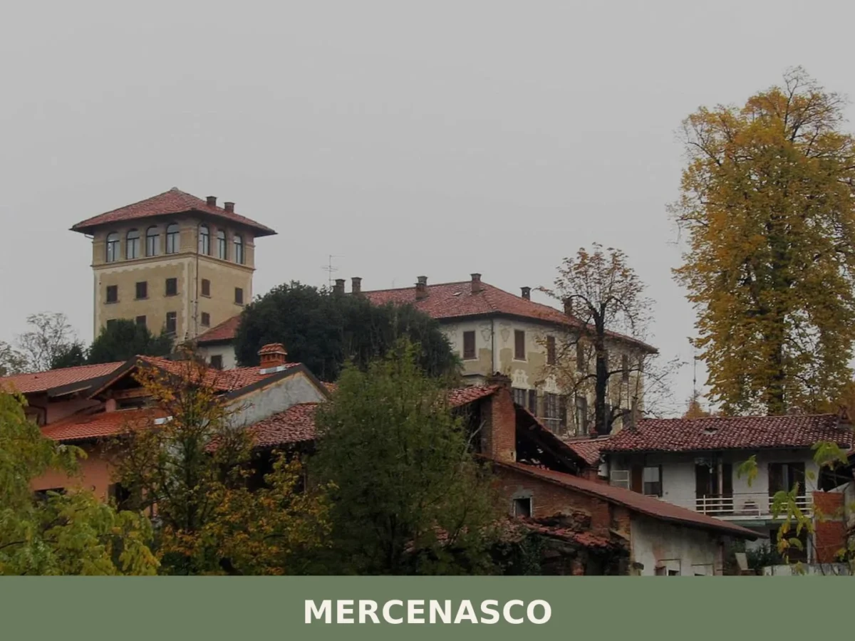
Two monuments and a millennium of history: Mercenasco draws visitors with its neogothic castle and baroque parish church set among the Canavese hills, 34 km north of Turin.
Agliè
Hills
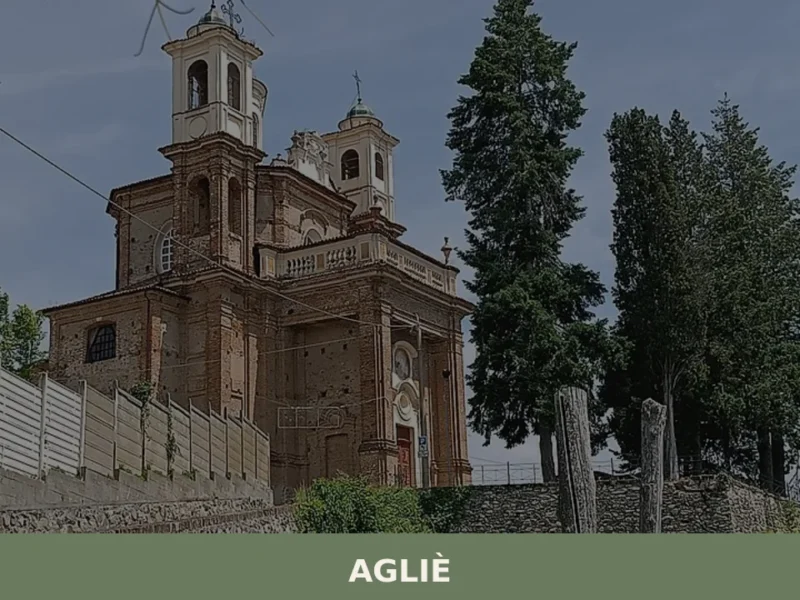
In 1646, Count Filippo San Martino d’Agliè — diplomat, poet, choreographer at the court of Christine of France — danced in the great hall of the castle that bears his name, directing baroque festivities destined to reshape Savoyard court ceremony. That castle still dominates the village’s skyline today with its eighteenth-century façade stretching over one […]
Mompantero
Mountain
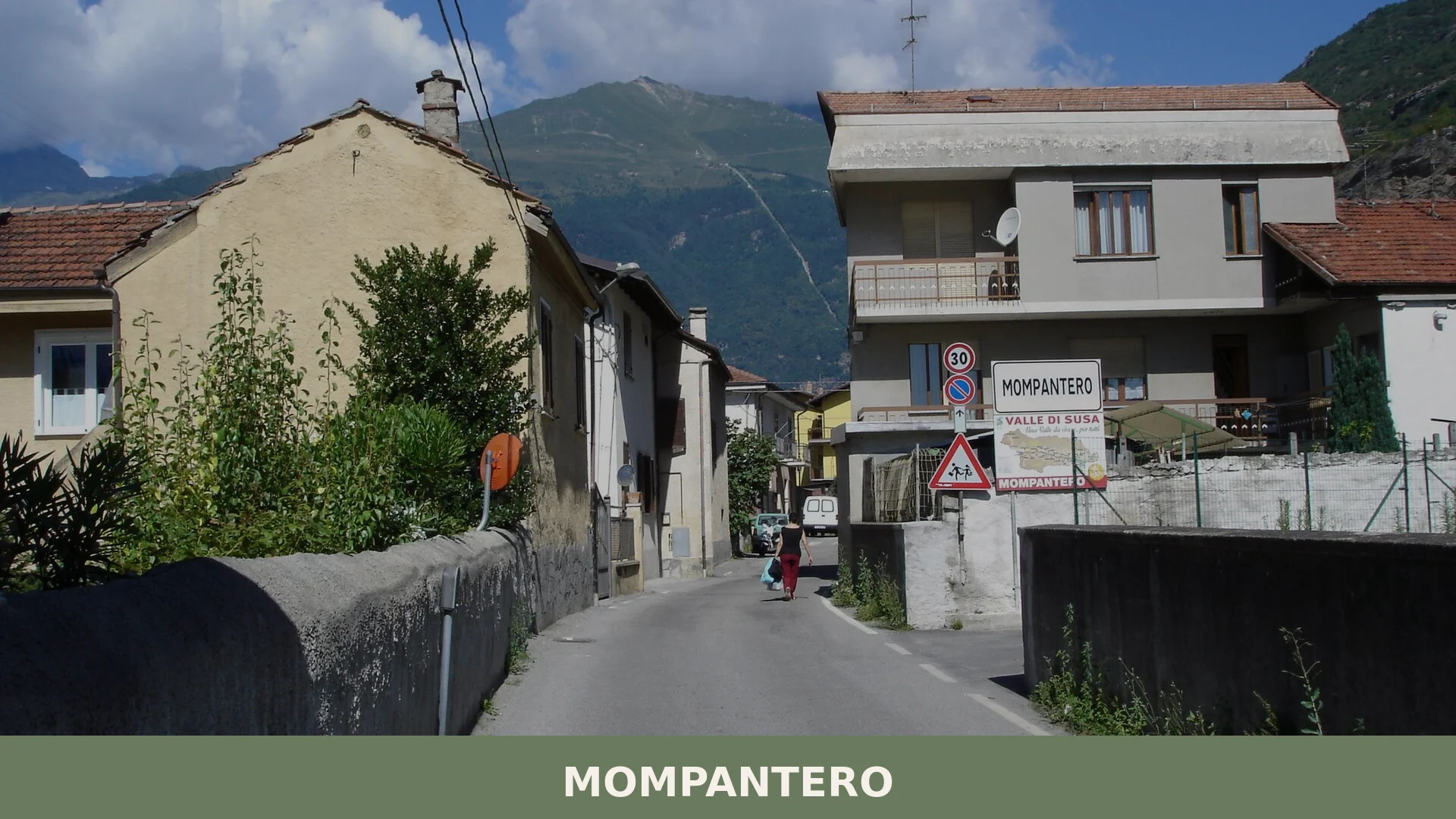
609 residents, thirty mountain hamlets and one of the Alps' most singular winter festivals: Mompantero rewards visitors who come looking for the real Valle di Susa.

Rocca Canavese
Hills
Population 1,718. A fortified valley settlement with castle ruins, 11th-century religious architecture and a landscape of green hills rimmed by the Malone torrent.

Pratiglione
Mountain
A village of 445 souls near Turin with roots reaching back to 1014. Home to the ancestral past of Rage Against the Machine's Tom Morello.
Baldissero Canavese
Hills
Baldissero Canavese has a population of 515 and stands at 392 metres on the hillside of the Canavese area, in the north-eastern corner of the Province of Turin, a short distance from the Piedmontese regional capital. The village is part of the Canavese settlement system, one of the historically densest areas in the region for […]

🏡 Know Lusigliè better than we do?
If you’re a local or have been there, your knowledge matters: add what’s missing or fix a detail on this page.