


What to see in Artena, Lazio, Italy: cyclopean walls from the 5th century BC, Palazzo Borghese, and 4 historic churches. Discover how to get there from Rome.
Discover Artena
Limestone blocks, each cut without mortar and fitted with the precision that Roman engineers would later borrow and admire, form a wall on the hill above the Sacco River valley. The fortification at Piano della Cività rises 600 m (1,969 ft) above the houses below it, and the cyclopean courses of local stone have held their position since the 6th or 5th century BC.
Inside the perimeter, the foundations of a large terrace survive, the base of a structure whose purpose remains a matter of archaeological interpretation rather than settled fact.
Knowing what to see in Artena means starting with that prehistoric ridge and working downward through more than two thousand years of documented occupation.
Situated approximately 30 km (18.6 mi) direct from Rome in the Metropolitan City of Rome, Artena, Lazio, Italy offers visitors cyclopean fortifications, a 17th-century Baroque palace, and four historic churches. The town sits in the northwest reaches of the Monti Lepini range, above the upper valley of the Sacco River, and reaches the modern traveller by both rail and road from the capital.
History of Artena
The earliest layer of occupation on this ridge belonged to the Volsci, an Italic people who held much of southern Lazio before Roman expansion absorbed their territories.
The original name of the settlement is not established with certainty; scholars have proposed Ecetra and Fortinum as possibilities, though neither has been confirmed by inscription or unambiguous ancient source. A separate Artena is recorded as an Etruscan town within the territory of Caere, positioned between Caere and Veii, and destroyed during the period of the Roman kings.
The site of that Etruscan settlement has never been located, and the identification between it and the Volscian hilltop in Lazio is explicitly unproven.
The Volscian settlement on this ridge was destroyed in 404 BC, and the modern town draws its name from that event, adopting the ancient toponym as its own during the administrative reorganisation of unified Italy. Until 1873 the village was officially called Monte Fortino.
The name change was not merely administrative; it was an assertion of territorial memory, anchoring a medieval and modern settlement to an ancient lineage whose physical evidence the cyclopean walls continue to provide. Within those walls, a Roman villa was later built on the massive terrace, overlaying Volscian foundations with a domestic structure that used the same commanding elevation for very different purposes.
Medieval records place Artena within the orbit of the Counts of Tusculum, one of the dominant aristocratic dynasties of early medieval Lazio, and subsequently under the Counts of Segni, who held the castle until 1475. In that year, following a request attributed to Charles VIII of France, control passed to the Colonna family. The Colonna’s consistent opposition to papal authority brought repeated military consequences: papal armies devastated Artena in 1526, again in 1543, and a third time in 1557.
Those three documented raids define the most violent chapter in the town’s medieval and early modern history, and the resilience of the present urban fabric — with its 17th-century palace and surviving churches — reflects reconstruction carried out after each episode of destruction.
Villages across Lazio with comparable medieval genealogies, such as Civita di Bagnoregio, which also passed through Etruscan and medieval phases before arriving at its present form, demonstrate how layered this region’s settlement history tends to be.
What to see in Artena, Lazio: top attractions
Piano della Cività — Cyclopean Fortifications
The walls at Piano della Cività are built from large blocks of local limestone fitted together without mortar, a construction method archaeologists classify as cyclopean because of the scale of the individual stones. The fortified perimeter dates to the 6th or 5th century BC and stands 600 m (1,969 ft) above the modern village, requiring a deliberate climb to reach. Inside the enclosure, traces of ancient buildings remain visible, and a massive terrace once supported a structure of considerable importance, later adapted as the platform for a Roman villa.
The path up rewards visitors with a clear reading of how Volscian defensive strategy exploited the natural topography of the Monti Lepini ridge.
Palazzo Borghese
The Palazzo Borghese dominates the historic centre of Artena with a 17th-century facade that signals the town’s recovery and reorientation after the Colonna-era conflicts.
Construction falls within the period when the Borghese family — closely tied to the papacy following the election of Pope Paul V in 1605 — extended their architectural patronage across Lazio. The building’s proportions and stonework are consistent with the regional aristocratic style of that century, and its presence in the upper town gives the civic core a formal anchor. Visitors arriving from the lower streets encounter the palace as the visual terminus of the main approach, its scale deliberately communicating institutional weight.
Church of Santa Maria delle Letizie
Santa Maria delle Letizie stands among the older religious foundations in Artena, its dedication linking it to a widespread Marian cult that spread through central Italian hill towns from the late medieval period onward. The church interior holds accumulated layers of devotional furnishing and votive material that document the continuous religious life of the community across several centuries.
Positioned within the historic urban fabric, it functions as a spatial marker for one of the oldest quarters of the settlement.
Those interested in the relationship between Lazio’s ecclesiastical architecture and its civic planning will find this church, read alongside the town’s other three documented churches, informative about how religious buildings structured urban space in small hill communes.
Church of Santo Stefano Protomartire
The dedication to Saint Stephen — Protomartire, meaning the first Christian martyr — places this church within a tradition common across central and southern Lazio, where early Christian saints provided the naming vocabulary for local parishes.
The building forms part of a group of four documented churches in Artena — Santa Maria delle Letizie, Santa Croce, Santo Stefano Protomartire, and San Francesco — each occupying a distinct position in the town’s layout and serving historically separate communities or confraternities within the broader parish structure.
Santo Stefano’s interior retains devotional elements that reflect the Counter-Reformation period, consistent with the town’s documented rebuilding after the mid-16th-century raids. It is worth visiting the interior early in the morning, when the light enters from the eastern windows at the most useful angle for reading the decorative details.
Church of San Francesco and Santa Croce
The presence of a Franciscan foundation in Artena, documented through the church dedicated to San Francesco, places the town within a network of mendicant establishments that expanded through the hill towns of Lazio from the 13th century onward.
Franciscan churches typically occupied peripheral positions relative to the civic centre, and their architecture favoured a plainness of construction that distinguishes them from the more elaborately decorated Dominican and Augustinian foundations.
Santa Croce, the fourth of Artena’s documented churches, carries a dedication to the Holy Cross that was common across medieval Italian towns following the Crusading period. Together, the four churches of Artena give a visitor sufficient material to trace the main phases of the town’s religious architectural history within a compact area that can be covered in a single afternoon on foot.
Local food and typical products of Artena
Artena’s economy rests explicitly on agriculture and animal husbandry, a combination that has shaped the local food supply for centuries and continues to define what appears on tables in the Monti Lepini area. The upper Sacco River valley, where the town sits, provides a varied agricultural landscape: the lower slopes support cereal cultivation and olive groves, while the higher ground sustains livestock.
This vertical range in a relatively compact geographic area produces a larder that mixes grain-based preparations with cured meats and dairy products typical of pastoral upland communities throughout central Lazio.
The kitchen tradition of this part of the Castelli Romani and Lepini hill country relies on preparations that minimise waste and maximise shelf life, a logic inherited from a subsistence economy that persisted well into the 20th century.
Pasta e fagioli, a slow-cooked dish of dried borlotti beans and short pasta finished with local olive oil and dried chilli, is a consistent presence in the area. Abbacchio alla cacciatora — young lamb braised with white wine, rosemary, garlic, and anchovy paste until the sauce reduces to a dense coating — reflects the importance of sheep farming in the Lepini uplands.
Porchetta, the whole deboned pig seasoned with wild fennel, garlic, and black pepper then roasted on a spit, is produced across the Castelli Romani area and sold at weekly markets; the version common around Artena uses fennel pollen rather than fennel seed, producing a slightly more aromatic result. Freshwater fish from the Sacco River system historically supplemented the diet, though this is less common in contemporary local restaurants.
Dairy production linked to the grazing land above Artena contributes to the regional supply of pecorino, the hard ewe’s milk cheese aged in various formats across Lazio. Local producers in the Monti Lepini area typically age their wheels for a minimum of 60 days, producing a compact paste that is sharp but not aggressive, suitable for grating over pasta or eating in thin slices with local honey.
Olive oil from the groves on the lower slopes of the Lepini range is cold-pressed and tends toward a grassy, moderately bitter profile characteristic of the Itrana olive variety, which is documented across this part of southern Lazio.
No DOP or IGP certifications specific to Artena appear in the available sources, though several regional products that circulate in local markets carry broader Lazio-level designations.
The best opportunity to sample these products in concentrated form is during the autumn harvest season, roughly from October through November, when local producers bring oil, cheese, cured meats, and legumes to weekly markets. Visitors arriving at this time of year find the fullest range of seasonal produce available directly from the people who make it, without the intermediary of a formal retail structure.
For those staying in the broader area of Castelli Romani, a similar seasonal food calendar operates across villages within a 20 to 30 km (12.4 to 18.6 mi) radius of Artena.
Festivals, events and traditions of Artena
Artena’s religious calendar structures the main public events of the year in the same pattern common across hill towns in the Metropolitan City of Rome.
The local patron saint is celebrated with a festival that draws the resident community together for a procession through the historic centre, typically involving the carrying of the saint’s image along a route that passes the main civic and religious buildings. The precise date of the patron saint’s feast, as with many Lazio communes, falls within a period determined by the liturgical calendar, and the event characteristically includes an evening procession with candles, outdoor music, and a fireworks display fired from the higher ground above the town.
The combination of ritual solemnity and popular festivity is consistent with the festa patronale format documented across this region.
The agricultural rhythm of the Monti Lepini area also generates seasonal gatherings tied to the olive harvest and the grape harvest, the two dominant cycles in the local farming year. These are not formalised events with fixed programmes so much as periods of concentrated community activity that spill into public space: cooperative pressing at the frantoio (the olive mill), shared meals at the end of a harvest day, and the informal distribution of new oil to neighbours and visitors.
Those who arrive in Artena between October and December have the highest likelihood of encountering this seasonal activity in its most direct form. The twin town relationship with Alcalá del Río in Spain points to a civic outward-looking dimension that occasionally generates cross-cultural events, though the specific programme of any such exchanges depends on the municipal calendar in a given year.
When to visit Artena, Italy and how to get there
The best time to visit Artena sits within the spring and autumn windows.
April through June brings mild temperatures, functional wildflower growth on the Lepini slopes, and manageable crowds; this is the period best suited to climbing up to the Piano della Cività fortifications without the intense heat that the ridge accumulates in July and August. September and October offer the harvest season context described above, with cooler evenings and clearer air after the summer haze lifts from the Sacco valley. Winter is quiet and sometimes cold at 600 m (1,969 ft), but the reduced visitor numbers make for uninterrupted access to the churches and the palace. Summer visits are practical but require an early start for the uphill walk to the archaeological site.
Artena sits approximately 40 km (24.9 mi) southeast of Rome by rail and 30 km (18.6 mi) direct.
Travellers arriving by train from Rome’s Termini station can reach the Artena area via the regional rail lines serving the Castelli Romani and the Sacco valley; the Trenitalia regional network connects Rome to the stations of this corridor. By road, the A1 motorway (Autostrada del Sole) serves the broader area, with the Valmontone exit providing a practical approach from the north; Valmontone lies approximately 10 km (6.2 mi) from Artena.
The nearest major airport is Rome Fiumicino Leonardo da Vinci, approximately 70 km (43.5 mi) to the northwest; the drive takes roughly 60 to 75 minutes depending on traffic on the ring road. For those arriving on a day trip from Rome, the total travel time by road is well under an hour from the city centre under normal traffic conditions, making Artena a practical half-day or full-day excursion. International visitors should note that smaller shops and local services in Artena are unlikely to operate in English; carrying cash in euros is advisable, as card payment infrastructure in smaller hill communes of this size can be limited.
The geographic position of Artena also makes it a logical base for exploring a broader corridor of the Monti Lepini and the Castelli Romani. Those with a vehicle and an interest in hill-town Lazio can combine a visit here with stops at comparable settlements within a 20 to 30 km (12.4 to 18.6 mi) radius.
Travellers extending their itinerary northward into the volcanic hill country of the Viterbo area might consider a stop at Canepina, a small comune in the Cimini hills that shares the same agricultural economy and medieval civic structure typical of Lazio’s inland settlements.
For those interested in lake districts and smaller rural communes further north, Ascrea, positioned above the Turano reservoir in the Rieti province, offers a contrasting landscape within the same regional travel context.
Frequently asked questions about Artena
What is the best time to visit Artena?
Spring (April to June) and early autumn (September to October) offer the most comfortable conditions for exploring Artena's hilltop sites and historic centre, with mild temperatures at 420 m altitude and clear views across the Sacco River valley. Summer visits coincide with the feast of the patron saint Maria Maddalena on 22 July, when the town holds its principal religious celebrations — an excellent opportunity to experience local tradition. August can be warm but the elevation tempers the heat compared to the Roman plain. Winter is quiet and uncrowded, best suited to visitors focused on architecture rather than outdoor exploration.
What are the historical origins of Artena?
Artena's ridge was originally occupied by the Volsci, an Italic people who built the cyclopean limestone fortifications at Piano della Cività between the 6th and 5th century BC. The Volscian settlement was destroyed in 404 BC. In the medieval period, Artena passed through the hands of the Counts of Tusculum, then the Counts of Segni, before the Colonna family took control in 1475. Papal armies raided the town three times — in 1526, 1543, and 1557 — due to the Colonna's opposition to Rome. Until 1873 the village was officially named Monte Fortino, before adopting the ancient toponym Artena.
What to see in Artena? Main monuments and landmarks
The essential stops are: Piano della Cività (cyclopean Volscian fortifications, 6th–5th century BC, reached by a climb to 600 m — no admission infrastructure documented, accessible on foot); Palazzo Borghese, the 17th-century Baroque palace dominating the historic centre; and four historic churches — Santa Maria delle Letizie, Santo Stefano Protomartire, San Francesco, and Santa Croce — distributed across the compact old town and visitable in a single afternoon on foot. The interior of Santo Stefano is best seen in early morning light. No ticket prices or formal opening hours are currently documented for these sites.
Where to take the best photos in Artena?
The plateau of Piano della Cività, at 600 m, provides the most dramatic vantage point: the cyclopean walls frame wide views over the upper Sacco River valley and the Monti Lepini ridge. Within the historic centre, the approach streets leading to Palazzo Borghese offer strong architectural compositions, with the 17th-century facade acting as a visual focal point. Early morning light is recommended for both the palace stonework and the church interiors, particularly Santo Stefano Protomartire, where eastern windows illuminate the decorative details most effectively.
Who is Artena suitable for? Families, couples, hikers, solo travellers?
Artena suits visitors who combine an interest in archaeology with a taste for authentic Lazio hill-town atmosphere. History enthusiasts and archaeology buffs will find the Volscian cyclopean fortifications at Piano della Cività genuinely rewarding. The compact historic centre with four churches and Palazzo Borghese appeals to couples and solo travellers exploring beyond Rome's immediate tourist circuit. The climb to Piano della Cività requires moderate fitness, making it suitable for active families and hikers. At roughly 30 km from Rome, Artena is practical as a half-day or full-day excursion for anyone based in the capital.
What to eat in Artena? Local products and specialties
Artena's table reflects the agricultural and pastoral economy of the Monti Lepini uplands. Core dishes include pasta e fagioli (slow-cooked borlotti beans with short pasta and local olive oil), abbacchio alla cacciatora (young lamb braised with white wine, rosemary, garlic, and anchovy paste), and porchetta seasoned with fennel pollen — a local variation more aromatic than the fennel-seed versions common elsewhere in the Castelli Romani. Pecorino from the Monti Lepini area, aged a minimum of 60 days from ewe's milk, is a key dairy product of the surrounding territory and typically available from local producers.
📷 Photo Gallery — Artena
Nearby Villages near Artena
In Lazio More villages to discover
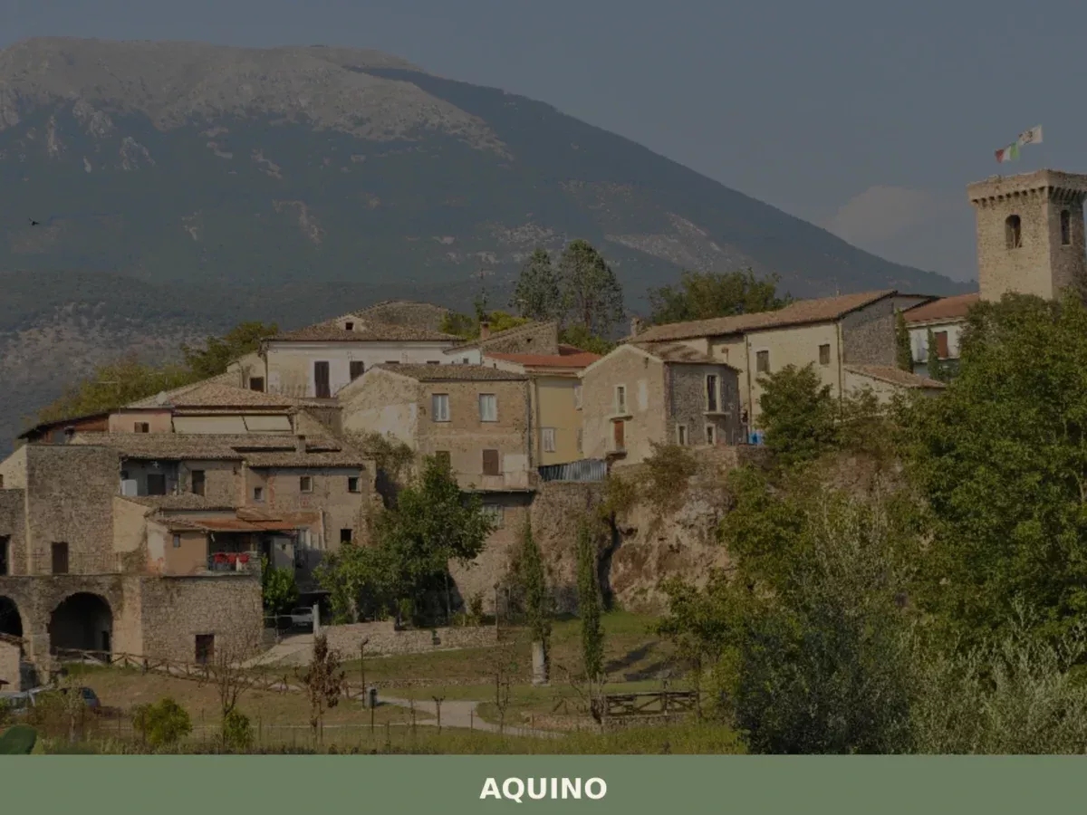
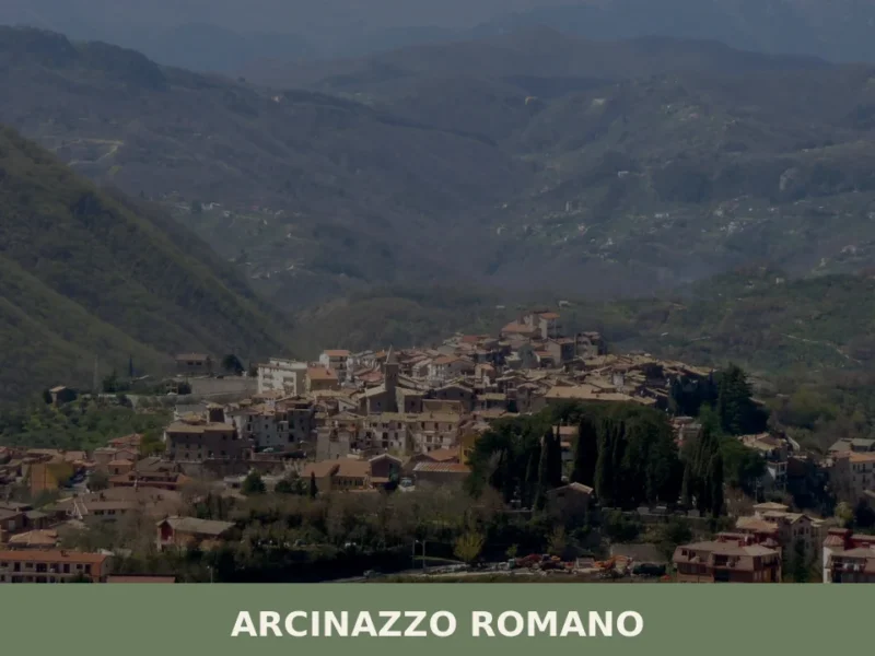
Aquino
What to see in Aquino? Discover 5 must-see historic attractions in this definitive guide to the Lazio village. Plan your visit now!
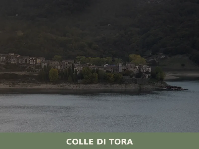
Colle di Tora
What to see in Colle di Tora: a village at 542 m on Lake Turano with 381 residents, a medieval centre and 3 PAT-certified products. Plan your visit today.
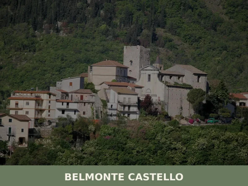
Belmonte Castello
A rocky hill above the Valle di Clia, Belmonte Castello is a small mountain settlement in Frosinone province where an old tower marks the skyline and the Apennine ridge begins just beyond.
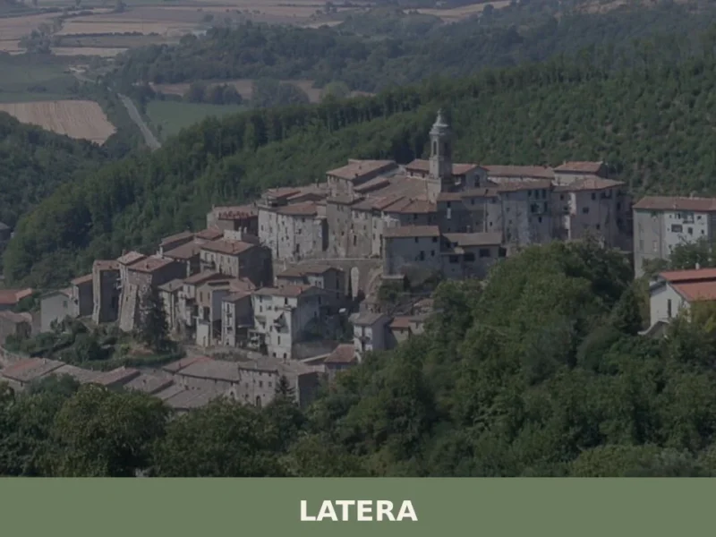
Latera
Latera has 766 inhabitants and sits on a tuff plateau at 508 metres above sea level, on the far northern edge of the province of Viterbo, close to the borders with Umbria and Tuscany. For centuries a fiefdom of the Farnese family, this small centre retains a compact Renaissance urban layout, with straight streets converging […]
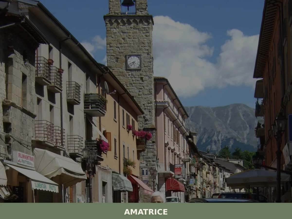
Amatrice
What to see in Amatrice? Explore the 5 main attractions of this village in Lazio. The complete guide awaits you with useful tips. Plan your visit!
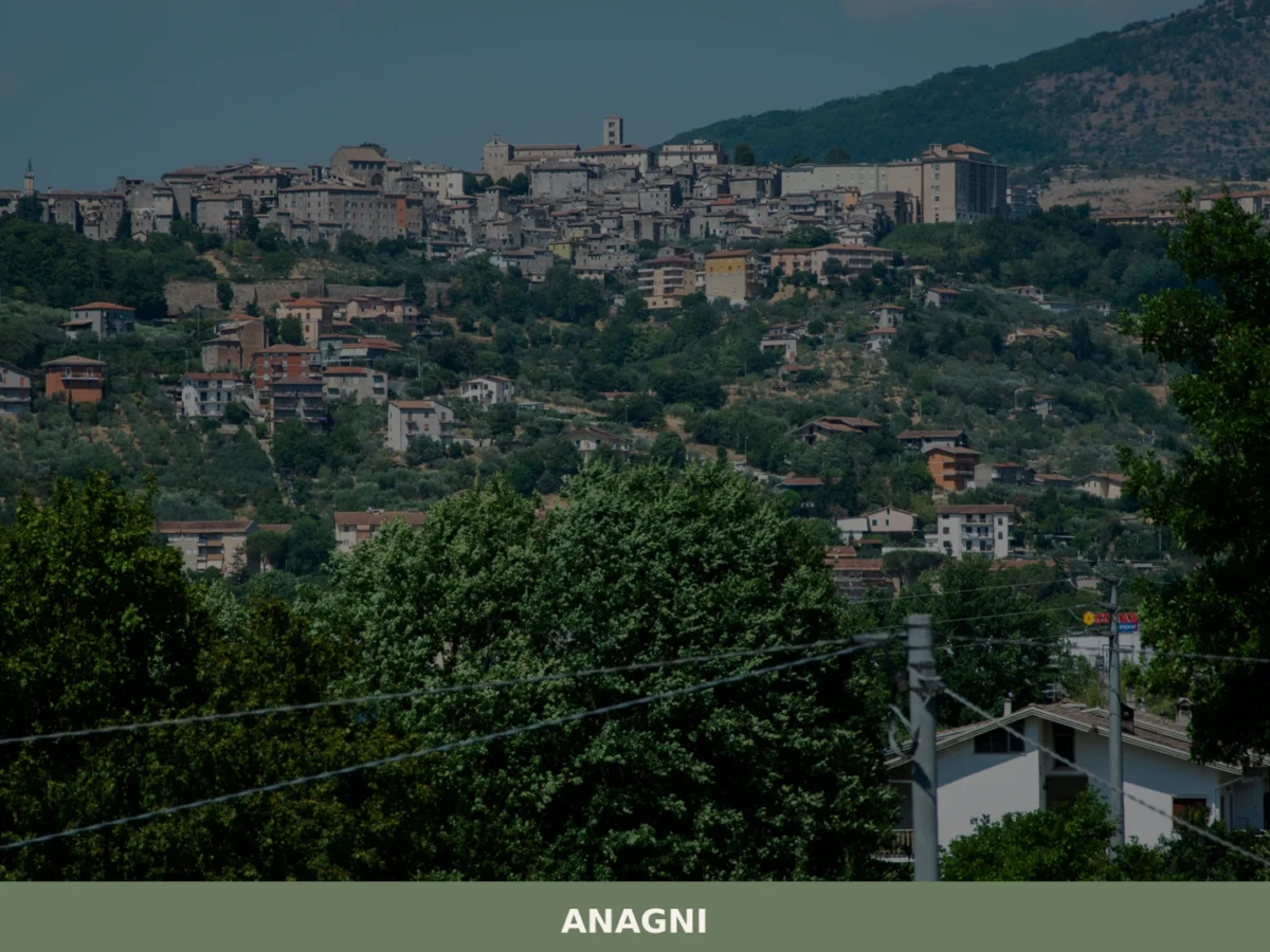
Anagni
What to see in Anagni: from the Cathedral of Santa Maria to the medieval Crypt. Complete guide with 5 attractions, practical tips and a one-day itinerary.
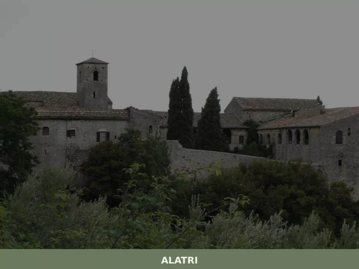
Alatri
Limestone blocks measuring up to 3 by 2 metres sit without mortar on the hill above the city, fitted so precisely that a knife blade cannot pass between them. The terrace walls of the acropolis rise to over 15 metres (49 ft), enclosing a rectangular plateau of 220 by 100 metres (720 by 330 ft). […]
Belmonte in Sabina
What to see in Belmonte in Sabina: a hilltop village at 756 m in Rieti province with 644 residents. Explore the medieval centre, PAT guanciale and cacio fiore cheese. Plan your visit now.
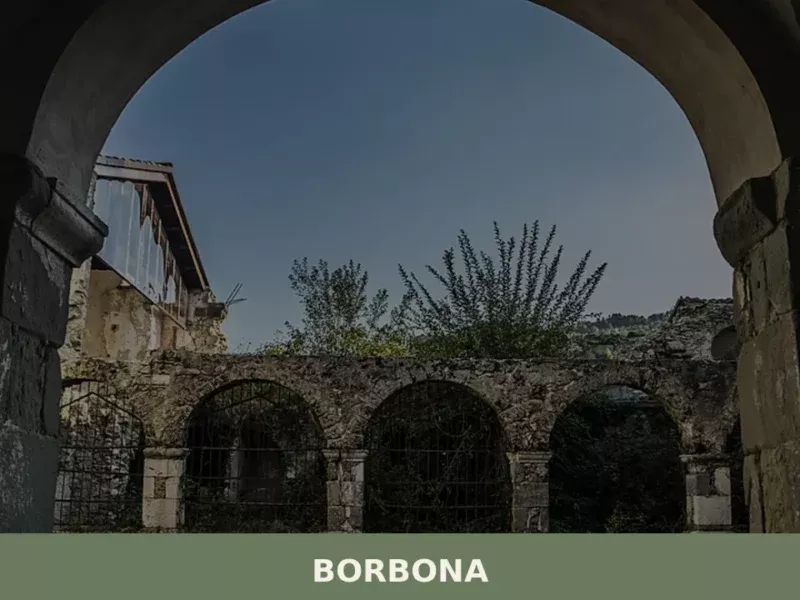
Borbona
Borbona is a mountain settlement of 577 residents in Rieti province, Lazio, perched at 755 metres where the upper Velino valley borders Abruzzo.
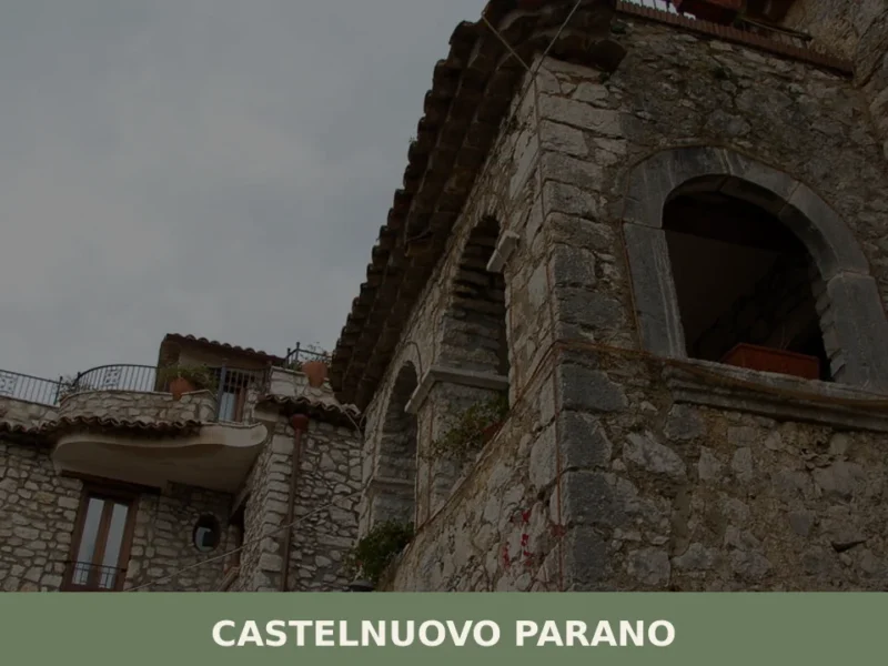
Castelnuovo Parano
Castelnuovo Parano is a hill municipality of 846 inhabitants in the province of Frosinone, Lazio, with medieval roots dating to the mid-eleventh century and a rich territorial heritage in the heart of


🏡 Know Artena better than we do?
If you’re a local or have been there, your knowledge matters: add what’s missing or fix a detail on this page.