


Massello
 Mountain
55 residents, one valley, and a waterfall at 2,000 m. Massello preserves Waldensian memory and mountain trails few travellers reach.
Massello: A Waldensian Village at the Head of the Germanasca Valley
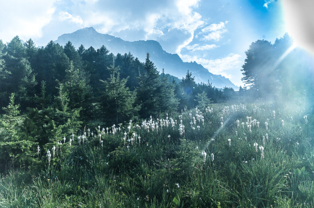
Stone houses climb a narrow side valley of the Germanasca, the slope so steep that even in midsummer the shadow of the ridge reaches the village early. At 1188 metres above sea level, life here has always been measured against the weight of winter and the brevity of the open season. The air carries the smell of pasture and cold water, and the silence is broken mainly by the stream running below the hamlet and, farther up, by the deep roar of a waterfall that local people consider the true landmark of their territory.
Massello village in Piedmont draws two distinct kinds of traveller: those who come for the Waldensian history concentrated in the hamlet of Balziglia, and those who come to walk up toward the Cascata del Pis and, eventually, toward the high ridges that separate Italy from France. With a resident population of just 55, spread across a municipal area of almost 38.8 square kilometres, this is a place where landscape and memory carry more weight than infrastructure. Neighbouring Waldensian communities such as Prali and Pomaretto share the same valley system and offer useful services for those planning a longer stay in the area.
The Waldensian Valleys and the Weight of History
The Vallone di Massello is a lateral branch of the Valle Germanasca, itself one of the Waldensian Valleys that spread out from the Pinerolese into the Western Alps above Turin. Communities here maintained a Protestant faith — Waldensian in confession — through centuries of pressure that included expulsion, military campaigns and forced exile. The mountain geography played a direct role: high, enclosed valleys provided both refuge and defensible ground when political and religious conditions turned hostile.
The most documented episode in Massello’s recorded past centres on the years 1689 and 1690, when the hamlet of Balziglia became the site of a determined resistance by Waldensian families who had returned to their valleys after exile. Known historically as the Glorioso Rimpatrio, this return brought several hundred exiles back across the Alpine passes, only to find French troops attempting to prevent them from resettling. At Balziglia, a group held out against the siege. The episode is recorded as part of the broader Waldensian struggle for survival in the late seventeenth century, and it remains the most-cited historical fact about Massello’s territory.
The long demographic arc of the community tells another kind of story. Over roughly the past hundred years, starting from the early twentieth century, the resident population fell by approximately 90 percent. What was once a mountain agricultural community of several hundred people has contracted to a few dozen permanent residents. The massellini — as the local demonym identifies them — are in large part of Waldensian faith, a religious identity that continues to shape the social character of the village and its relationship with the broader network of Waldensian communities across the Chisone and Germanasca valleys.
The Waldensian exiles who returned across the Alps in 1689 had walked for weeks through hostile territory. Their arrival in the Germanasca valley marked the beginning of what would become one of the most tenacious community survivals in Alpine history.
The Landscape and Places That Define Massello
Balziglia and the Upper Valley
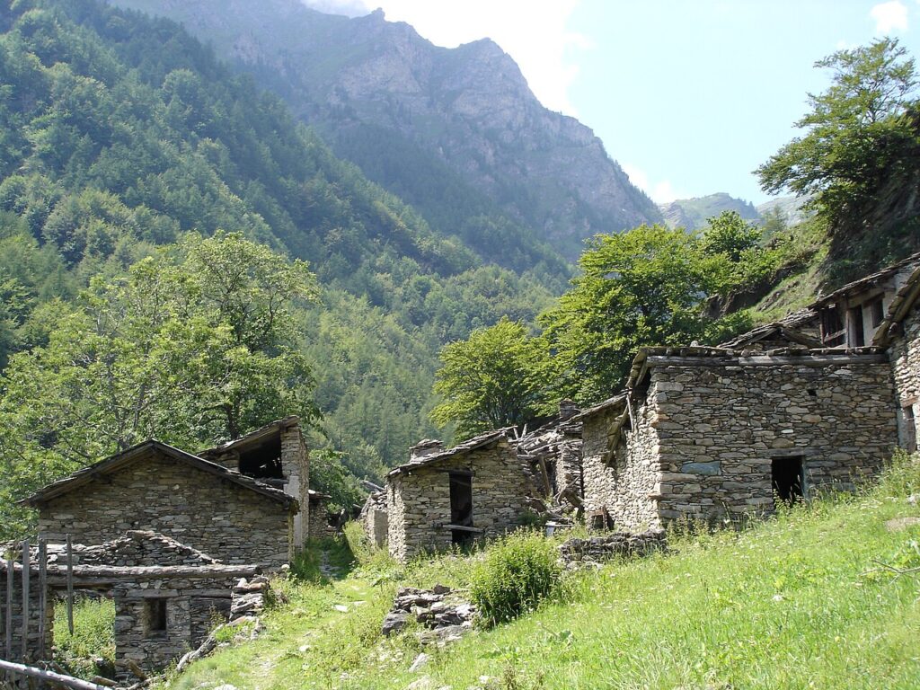
Balziglia sits at 1188 metres, at the upper end of the valley, and represents the last hamlet before the terrain rises sharply toward the high ridges. It is the geographical and historical core of the municipality: the Waldensian resistance of the late seventeenth century took place here, and the settlement retains the compact stone character typical of high Waldensian hamlets. Reaching Balziglia from the main village takes only a short drive or a moderate walk along the valley floor, making it accessible even for visitors without specific mountain experience.
Cascata del Pis
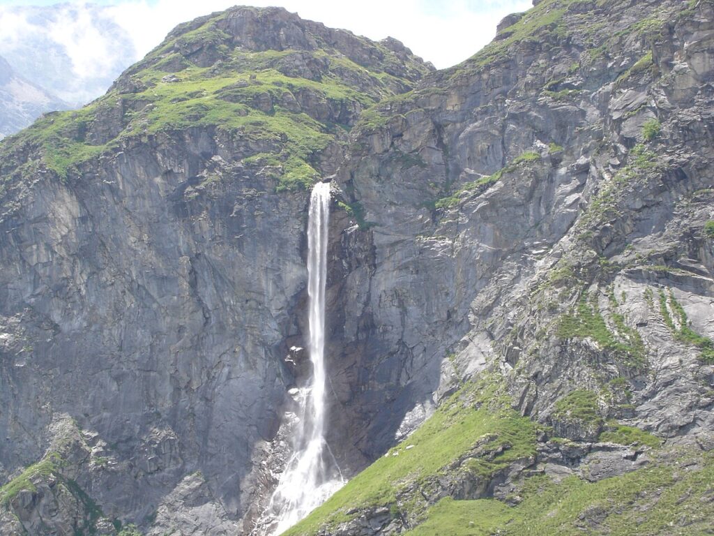
Above Balziglia, the Cascata del Pis descends into the centre of the upper valley with enough force to be audible well before it comes into view. The waterfall is the most immediately recognisable natural feature of the territory and functions as the practical destination for most hiking visits. The path that leads to it follows the route toward the Colle dell’Albergian and requires less than an hour of walking from Balziglia under normal summer conditions. The view from directly below, with the cascade occupying the full width of the valley head, gives a clear sense of the scale of the terrain.
Bric Ghinivert and the High Ridge
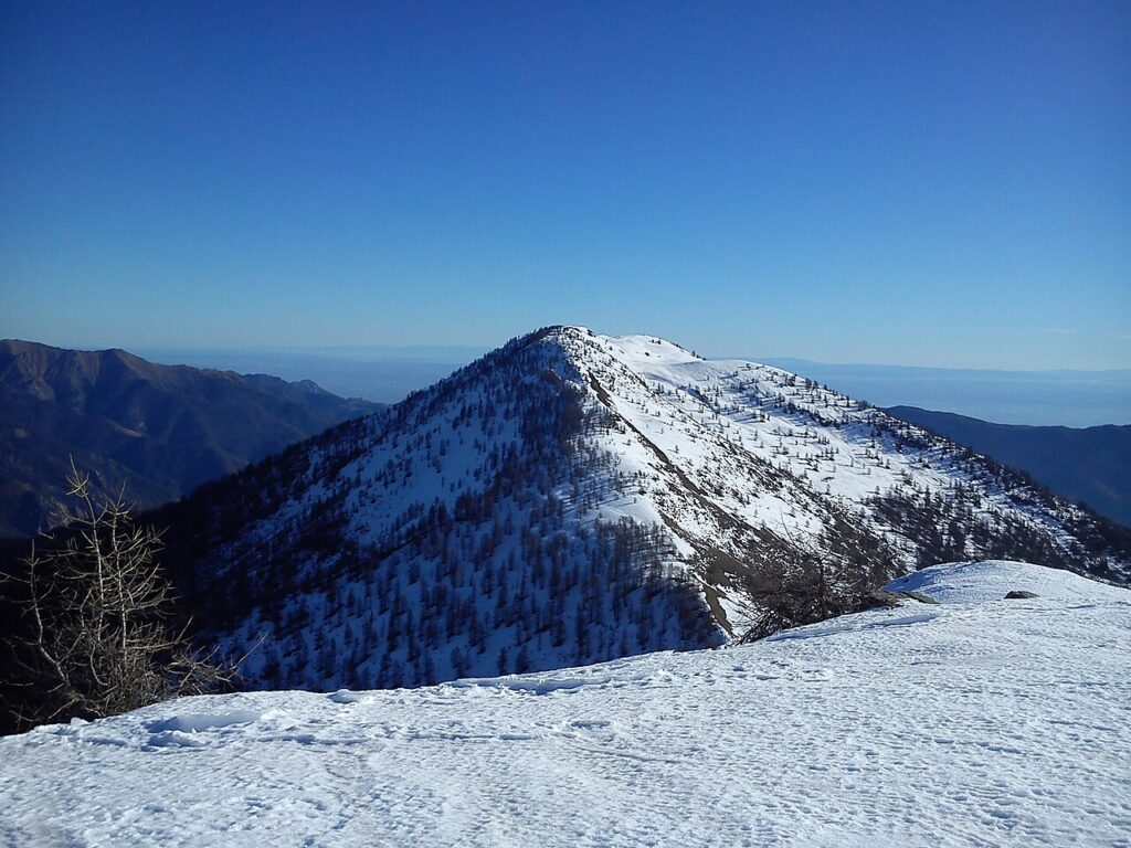
For experienced mountain walkers, the upper part of the municipality extends to the summit of the Bric Ghinivert, at approximately 1188 metres, the highest point in Massello’s territory. The route begins at Balziglia, passes through the Bergeria del Ghinivert — a shepherd’s shelter along the way — and continues to the Colle del Ghinivert before reaching the summit. This is a full-day excursion that requires appropriate gear and should not be attempted without checking current conditions. The high ridge marks the administrative boundary and offers orientation across a wide section of the Western Alps.
Museo Storico della Balziglia
The Museo Storico della Balziglia documents the Glorioso Rimpatrio and the Waldensian presence in these valleys across a difficult period stretching from the mid-seventeenth century into the following decades. It retains much of the atmosphere of a historical period installation. It is a compact but substantive stop for anyone who wants historical context before exploring the valley itself.
Ecomuseo Sentiero la Ruota e l’Acqua
A walking itinerary conceived in collaboration between the CAI Val Germanasca, a local middle school and several municipal bodies, the Sentiero la Ruota e l’Acqua connects four small vertical-axis mills scattered through the Vallone di Massello: Campo la Salza, Occie, Gros Passet and Piccolo Passet. Wooden directional signs and illustrated panels explain the function and history of each structure along a route that largely follows pre-existing, in some places very old, paths. The itinerary makes the agricultural and hydraulic heritage of the valley readable on foot without requiring specialist knowledge.
Tastes of the High Valley
Massello’s food culture reflects mountain pastoral life rather than any particular culinary tradition specific to the village. The broader Pinerolese area and the Germanasca valley are associated with alpine dairy products, gathered herbs and the kind of simple, calorie-dense cooking that sustained communities through long winters. Provincial-level designations such as those covering certain Piedmontese cheeses and mountain chestnuts apply to a wide territory that includes this area, but no food product is exclusive to Massello itself.
Visitors can find more options for eating and provisioning in the larger centres of the Valle Germanasca and Chisone valleys. The broader Piedmontese wine tradition is present in the region, with Pinerolese DOC wines produced across a wide sub-regional area. Alpine herb liqueurs and ratafià are part of the wider Piedmontese tradition that circulates in mountain communities, though again without a documented local variant specific to this village. Those combining a visit to Massello with time in other Waldensian communities — such as Pramollo or Bobbio Pellice — will find a wider range of local producers and hospitality.
Planning your visit and getting there
Massello can be reached easily from the Valle Germanasca and the Turin area. The practical distances and journey times below are kept concise on purpose, so the access information stays clear and consistent.
| Departure | Distance | Time |
|---|---|---|
| Turin (city centre) | approx. 70 km | approx. 1 h 20 min |
| Pinerolo | approx. 35 km | approx. 50 min |
| Milano | approx. 175 km | approx. 2 h 30 min |
Frequently asked questions about Massello
When is the best time to visit Massello?
Late June through September offers the most favorable conditions. The patronal feast of Saints Peter and Paul occurs on June 29th, marking the beginning of the open season. Winter brings heavy snow and limited accessibility due to the village's 1,188-meter altitude and steep valley position. Spring snowmelt creates optimal conditions for waterfall viewing at Cascata del Pis. Early autumn provides stable weather for hiking toward the France-Italy ridge.
What is the nearest town with transport connections to Massello?
Prali and Pomaretto, neighboring Waldensian communities in the same Valle Germanasca system, offer the most accessible services. Turin Province provides regional rail and bus connections. From Turin, expect 1.5–2 hours travel time via provincial roads into the Waldensian Valleys. These neighboring villages serve as practical gateways for longer stays and offer better infrastructure than Massello's 55-resident population.
What hiking routes are available from Massello?
The primary documented trail leads upward to Cascata del Pis, the waterfall considered the territorial landmark by locals. From there, established routes continue toward the high ridges forming the Italy-France border. The steep terrain and narrow side valley create challenging alpine conditions. These routes suit experienced mountain walkers. Winter access becomes severely limited. Contact local mountain guides or check CAI resources for current trail conditions and safety information.
Why visit Massello instead of larger nearby villages?
Massello offers authentic alpine isolation with minimal infrastructure, where landscape and historical memory dominate over commercial tourism. Its Waldensian heritage, concentrated in Balziglia hamlet, provides deep cultural significance. The dramatic setting—steep slopes creating early shadows even in summer, roaring waterfall, and pristine pasture air—appeals to travellers seeking genuine mountain experience. The municipal area spans 39 square kilometers despite just 55 residents, offering exceptional wilderness access.
📷 Photo Gallery — Massello
In Piedmont More villages to discover
Bibiana
 Hills
Hills
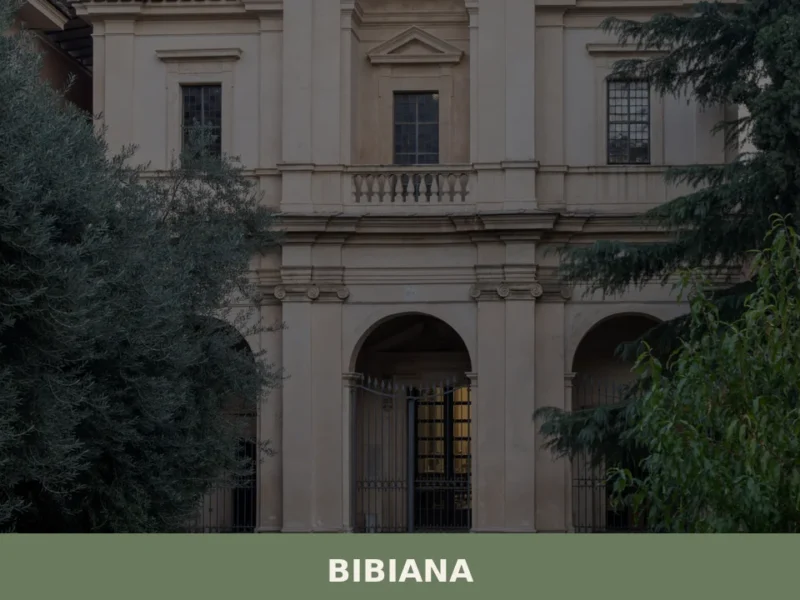
Bibiana sits at the entrance to the Val Pellice, a valley that cuts into the Cottian Alps southwest of Turin, and counts just over 3,300 residents within the metropolitan city of Torino. The village belongs to the Unione Montana del Pinerolese, a grouping of mountain and foothill municipalities that share administrative and territorial planning functions. […]

Brandizzo
 Plains
A plains settlement shaped by centuries of feudal rule and 20th-century industry. Discover baroque architecture, carnival traditions, and the Po river landscape.
San Secondo di Pinerolo
Hills
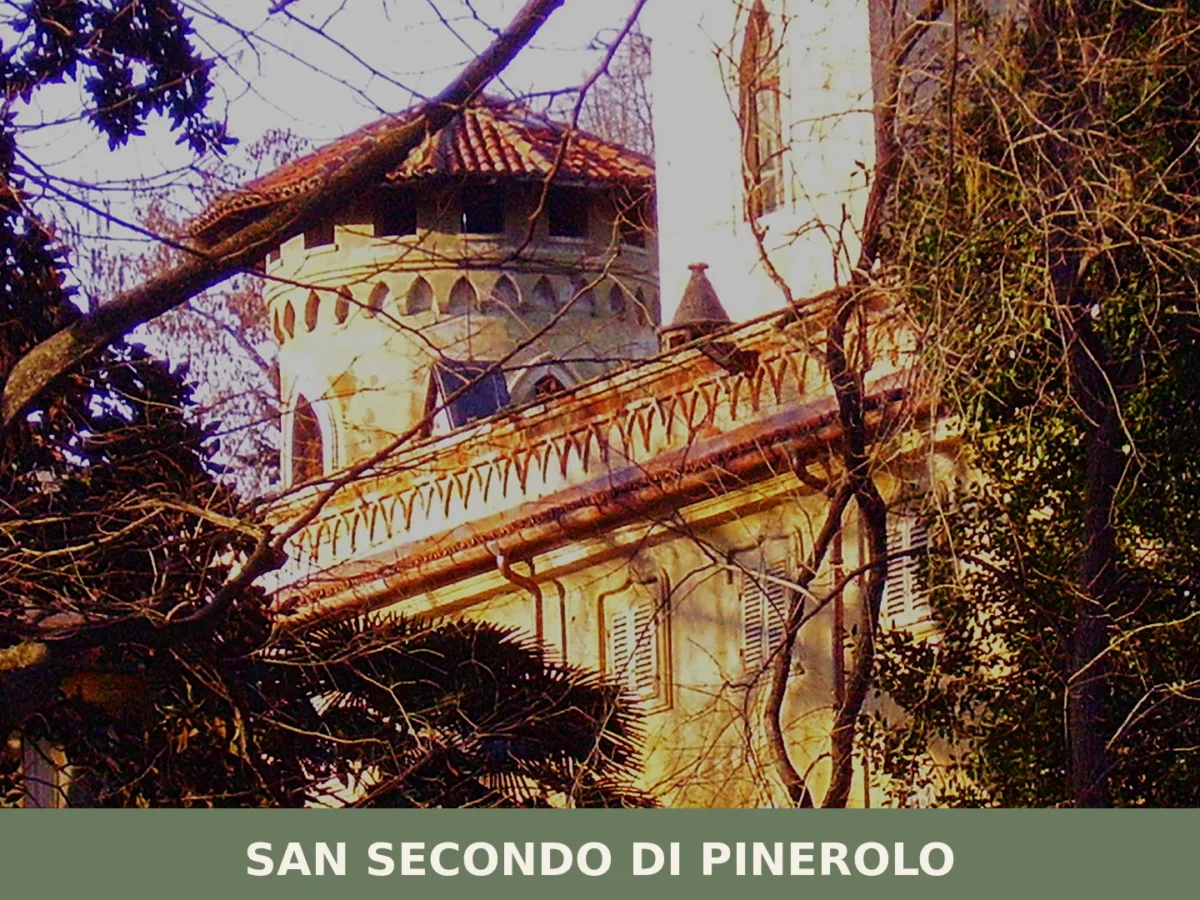
Population 3,643. A small Piedmont comune where 18th-century terracotta crafts shaped the landscape and baroque architecture anchors memory.

Ostana
Mountain
87 residents, three languages and one of the most dramatic alpine backdrops in Piedmont. Ostana rewards visitors who travel slowly and look closely.
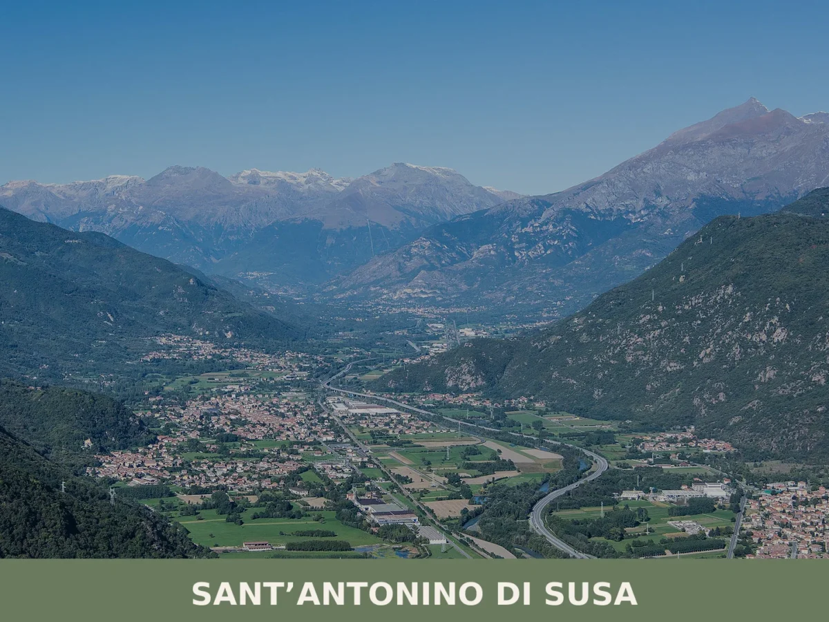
Sant’Antonino di Susa
Mountain
Sant'Antonino di Susa (population 4,074) occupies the right bank of the Dora Riparia at 380 metres. Medieval churches, partisan memory and the echoes of early industrial labour define this Piedmontese comune.
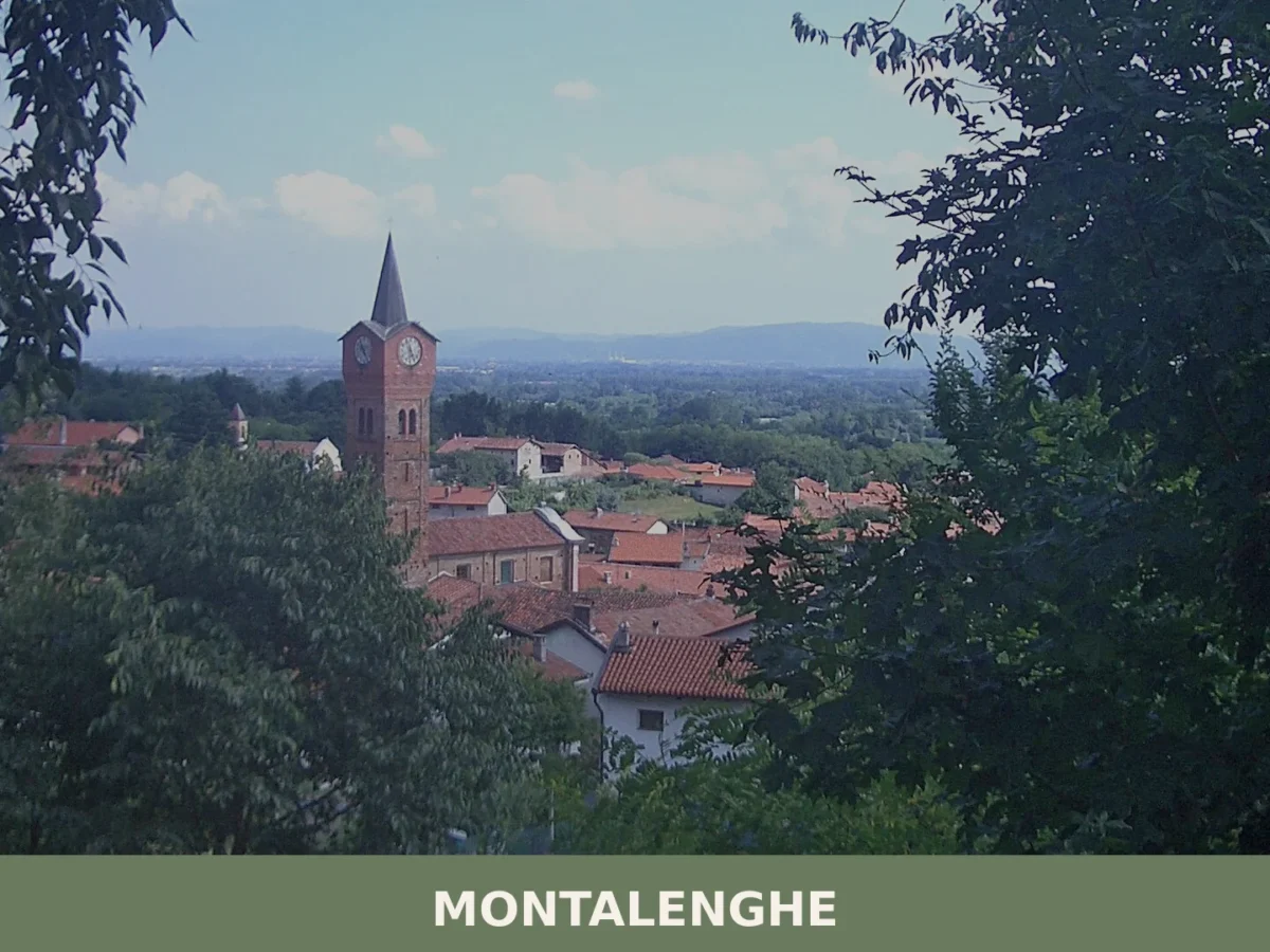
Montalenghe
Hills
958 residents, two medieval monuments and one of Italy's most remarkable specimen cedars. Montalenghe offers a concentrated encounter with Canavese hill culture.
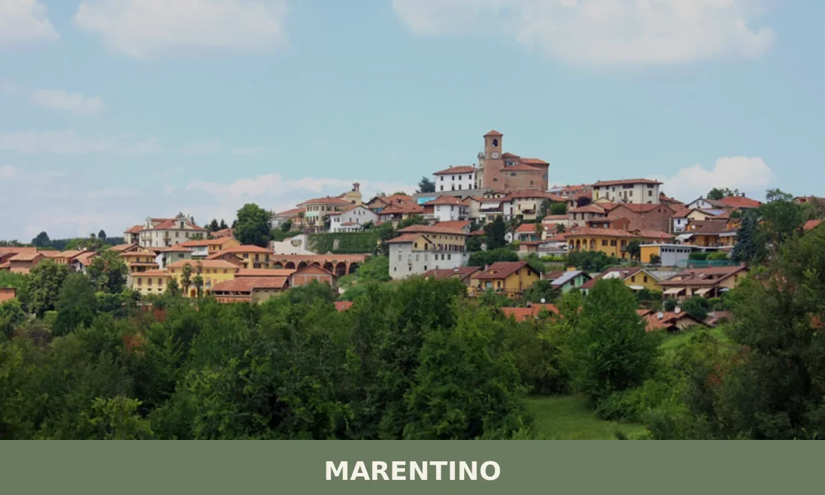
Marentino
Hills
Three ancient boroughs, six historic churches and a Romanesque monument listed since 1888 make Marentino a compact but layered destination east of Turin.
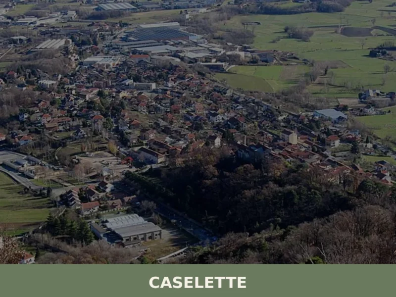
Caselette
Hills
At the foot of Monte Musinè, where the plain of Turin gives way to the first folds of the Val di Susa, a mass of rock the size of a house sits in open ground. The Pietra Alta, one of the largest glacial erratics in the whole of Piedmont, was deposited here by glacial movement […]
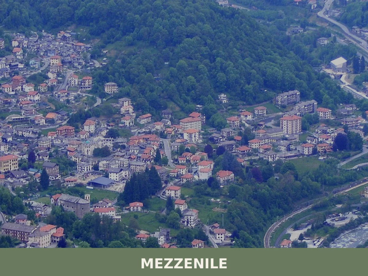
Mezzenile
Mountain
734 residents, one river bank, and a territory stretching from valley floor to high ridge. Mezzenile rewards visitors with cave systems, mountain lakes and a craftsmen's ecomuseum.
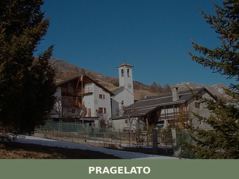
Pragelato
Mountain
Pragelato sits at around 1,524 metres above sea level in Val Chisone, approximately 82 kilometres west of Turin, and its Occitan name — Pradzalà or Prajalats — translates directly as “frozen meadow”, a reference to the high-altitude pastures that define the landscape here. With a resident population of 692, this is a compact Alpine commune […]


🏡 Know Massello better than we do?
If you’re a local or have been there, your knowledge matters: add what’s missing or fix a detail on this page.