


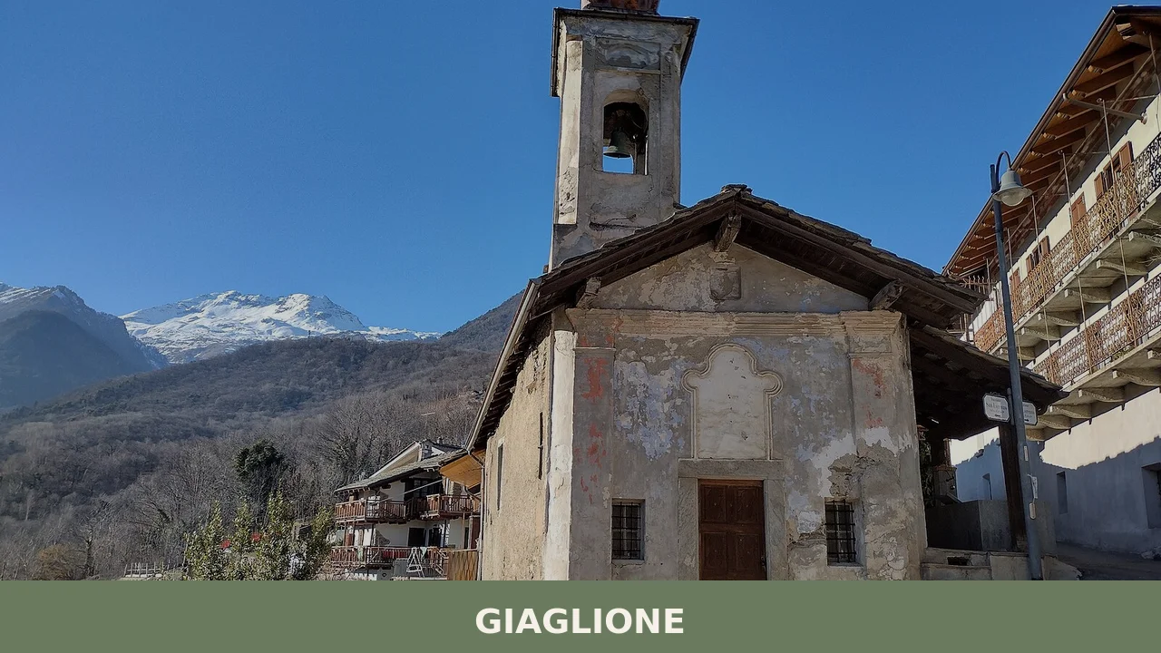
Giaglione
 Mountain
Population 595. Medieval fortified settlements, a 15th-century fresco chapel, and a living folk tradition that marks the feast of the patron saint each January.
Giaglione: Mountain Stronghold in the Upper Susa Valley
Stone walls rise where three valleys meet, and the mountain air carries the sound of bells from a church that commands sweeping views across the Alpine landscape. Giaglione sits at 771 metres above sea level in the upper Susa Valley, a small settlement of 595 people whose architecture and traditions are woven into the rhythm of high mountain life.
Giaglione village in Piedmont occupies a strategic position roughly six kilometres beyond Susa, on the route toward the Moncenisio Pass. The settlement spreads across the confluence of three valleys—the Val di Susa, Val Cenischia, and Val Clarea—making it a natural hub for Alpine transhumance and regional connections. Visitors encounter a landscape of solid medieval fortifications, a parish church set high on the slope, and a distinctive folk celebration that has survived centuries.
Origins and Medieval Strongholds
The earliest traces of settlement in Giaglione reach back to the eighth century. During the Middle Ages, the village served as the seat of wealthy valley families who built fortified castles to command the territory. The most significant construction came around 1230, when the powerful Aschieri De Jalliono family erected the Castello Superiore in a commanding position overlooking the settlement and the valley floor below.
These noble families sustained their authority through control of Alpine passes and agricultural production. Their castles—particularly the still-visible fortress of Menate in the lower town—reflected both defensive necessity and the desire to project power across the landscape. The Castello Superiore, though now reduced to sparse ruins, testifies to the strategic importance Giaglione held during the medieval period.
The Parish Church and Sacred Art
Parish Church of San Vincenzo
The parish church occupies a panoramic position that transforms it into a viewpoint across multiple Alpine systems. From its location, the eye ranges across the entire Val Cenischia toward the Rocciamelone to the north, down the full length of the Valle di Susa toward Torino and the Maddalena Pass to the east, and south toward the Orsiera-Rocciavrè chain and the neighbouring settlement of Gravere. The interior contains frescoes and wooden retables, examples of the woodcarving tradition that connected the Susa Valley with the French Maurienne across the Alps.
Sacred Art Museum
The diocesan museum of sacred art, housed in Giaglione, preserves a notable collection of wooden sculpture that reflects the shared artistic tradition spanning the Susa Valley and the Maurienne region. These pieces document the exchange of craftsmanship and religious imagery that occurred along this Alpine frontier over centuries.
Santo Stefano Chapel and Medieval Fresco
In the hamlet of Santo Stefano, a modest chapel sits along an ancient transalpine transit route. On its exterior wall stands a large fresco from the fifteenth century depicting the Cavalcata dei vizi—a procession of vices, virtues, and the torments of the underworld. This image represents a common theme in Alpine sacred art, combining moral instruction with visual drama for a population that could not read text.
The Monumental Chestnut
Near the parish church stands an ancient chestnut tree, approximately two hundred years old, that serves as a living landmark within the village landscape. Such specimens anchor memory and mark seasonal cycles in mountain communities where generations return to familiar trees.
Mountain Traditions: The Spadonari Dance
The Danza degli Spadonari is a folk performance of uncertain origin, though its themes suggest roots in pre-Christian fertility rites meant to ensure abundant harvests. Stylistic comparison with Iron Age rock carvings found in the Val Cenischia points toward a possible prothistoric ancestry, though this remains debated among scholars.
The performance involves four young male dancers carrying long straight swords (lou sabro) with decorated wooden hilts and metal studs. Six priore—three pairs of different ages—accompany them. The dancers move in leaps rather than steps, and the most distinctive figure is the young unmarried woman who carries lou bran, an elaborate wooden structure over two metres tall balanced on her head during the procession. The bran is decorated with ribbons, flowers, and fruit, and carries a special ring-shaped bread that is distributed to the community after mass.
Costumes reflect the agricultural meaning: headdresses are covered entirely in coloured flowers, and the bodice and apron are crafted from damask cloth embellished with embroidery, lace, sequins, fringe, and ornamental fastenings. White gloves and black shoes complete the ensemble. The Banda Musicale di Giaglione (Giaglione band) accompanies the dancers with live music.
The performance occurs on the feast day of the patron saint, San Vincenzo martire, on 22 January, repeats the following Sunday, and appears again at the Feast of the Madonna del Rosario on the first Sunday of October. The event is both a religious observance and a statement of community continuity, affirming the valley’s connection to its own past.
Tastes of the Mountain
Traditional mountain agriculture has sustained Giaglione for centuries: vineyards, chestnut groves, and dairy herds produce the staple foods of Alpine life. Local cheese, wine made from grapes grown on the valley slopes, and chestnuts prepared in various forms represent the edible foundation of the territory. These products embody a way of farming adapted to altitude, steep terrain, and short growing seasons—knowledge accumulated across generations of rural settlement.
Visiting Giaglione: Access and Timing
Giaglione lies on the Strada Statale 25, the main highway toward the Moncenisio Pass. The village is accessible year-round by car; summer and early autumn offer the best conditions for walking the surrounding valleys and exploring the three Alpine systems that converge here. Winter brings snow and mountain weather; spring and early summer are ideal for observing the gradual greening of the slopes.
The settlement serves as a natural stopping point for travellers on regional routes: the Via Francigena and Cammino di San Michele pass through or near this zone, connecting pilgrims and trekkers to a network of Alpine and Mediterranean paths. The village itself is compact and manageable on foot once you arrive; most points of interest lie within a few minutes’ walk.
The nearest significant urban centre is Susa, just six kilometres downslope toward the plains. Torino lies approximately 60 kilometres west by road. A sister-village relationship links Giaglione with Val-Cenis in France, reflecting shared Alpine geography and cultural ties across the border.
| Departure | Distance | Time |
|---|---|---|
| Torino | 60 km | 1 hour 15 minutes |
| Susa | 6 km | 12 minutes |
| Moncenisio Pass | ~25 km | 45 minutes |
Visitors seeking regional context may explore nearby Alpine settlements: Novalesa, with its ancient monastery, lies within the same valley system. Higher settlements like Pragelato extend the mountain experience further into the passes. Borgone Susa sits downslope toward the plains, offering a transition between high and low valley terrain.
The village has recently discovered a tourism calling while maintaining its roots in mountain agriculture, forestry, and the rhythms that govern life at altitude.
The arrival of the Big Bench n. 142—part of the Big Bench Community Project—marked a gentle turn toward recreational tourism, bringing visitors seeking views and a moment of pause within the landscape. Yet Giaglione remains fundamentally a working mountain settlement where seasonal cycles, feast days, and the maintenance of steep-slope agriculture continue to structure daily life.
Frequently asked questions about Giaglione
How do I reach Giaglione from Turin?
Giaglione is located approximately 50 kilometres west of Turin in the upper Susa Valley. Take the A32 motorway toward France and exit at Susa. From Susa town centre, follow signs toward Moncenisio Pass; Giaglione lies about 6 kilometres beyond Susa on this route. By public transport, regional trains serve Susa station, from which local buses connect to the upper valley settlements. Driving time from Turin is roughly one hour.
When is the best time to visit Giaglione?
Late spring through early autumn (May to September) offers the most reliable weather for exploring the Alpine landscape and valley routes. Summer temperatures are mild at 771 metres elevation. The patron saint feast of San Vincenzo Diacono e Martire is celebrated on 22 January, though winter conditions may affect accessibility. Winter visits require caution due to mountain weather and potential snow on valley roads.
What walking trails are available around Giaglione?
Giaglione's position at the confluence of three valleys—Val di Susa, Val Cenischia, and Val Clarea—provides access to Alpine trekking routes typical of the Susa Valley network. Trails follow traditional transhumance paths and connect neighboring mountain communities. Hikers should consult current CAI (Italian Alpine Club) guides or local tourism information for specific route conditions, estimated durations, and difficulty levels before departure.
Is there accommodation available in Giaglione village itself?
Giaglione is a very small settlement with a population of 595 residents. Direct accommodation within the village is limited. Visitors typically find agriturismos and small guesthouses in the immediate upper Susa Valley area. For guaranteed availability and booking, contact the Susa Valley tourism office, which can recommend nearby options in larger neighboring villages within a short drive of Giaglione.
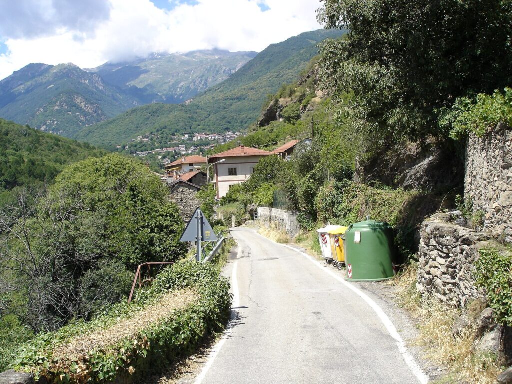
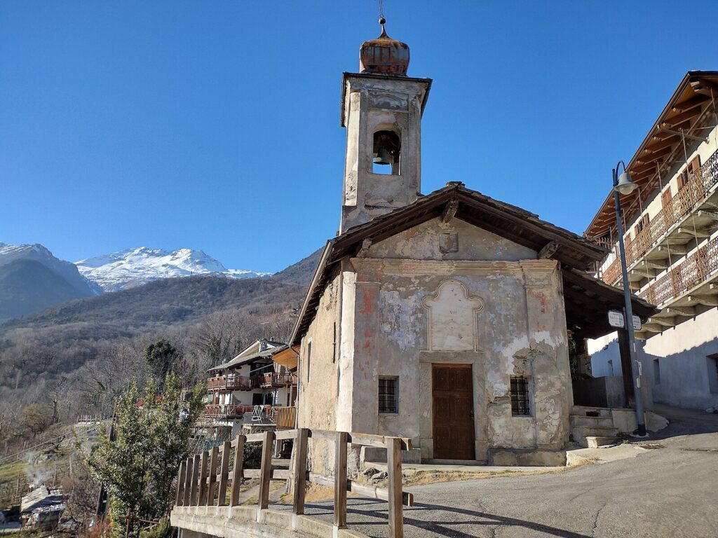
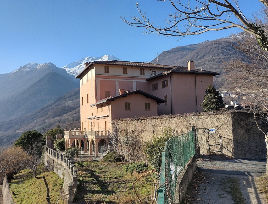
📷 Photo Gallery — Giaglione
In Piedmont More villages to discover

Brandizzo
 Plains
A plains settlement shaped by centuries of feudal rule and 20th-century industry. Discover baroque architecture, carnival traditions, and the Po river landscape.
Bibiana
 Hills
Hills
Bibiana sits at the entrance to the Val Pellice, a valley that cuts into the Cottian Alps southwest of Turin, and counts just over 3,300 residents within the metropolitan city of Torino. The village belongs to the Unione Montana del Pinerolese, a grouping of mountain and foothill municipalities that share administrative and territorial planning functions. […]
Castagnole Piemonte
Plains
What to see in Castagnole Piemonte, Italy — 20 km from Turin. Explore 5 top attractions, local food traditions and practical travel tips. Discover Piemonte.
Avigliana
Hills
In 1092, a donation charter by Countess Adelaide of Susa mentioned for the first time the castrum Avillianae, a fortified settlement on the hill overlooking two moraine-origin lake basins in the lower Susa Valley. Anyone wondering what to see in Avigliana today will find an urban fabric preserving precise layers of history: thirteenth-century towers, Gothic […]
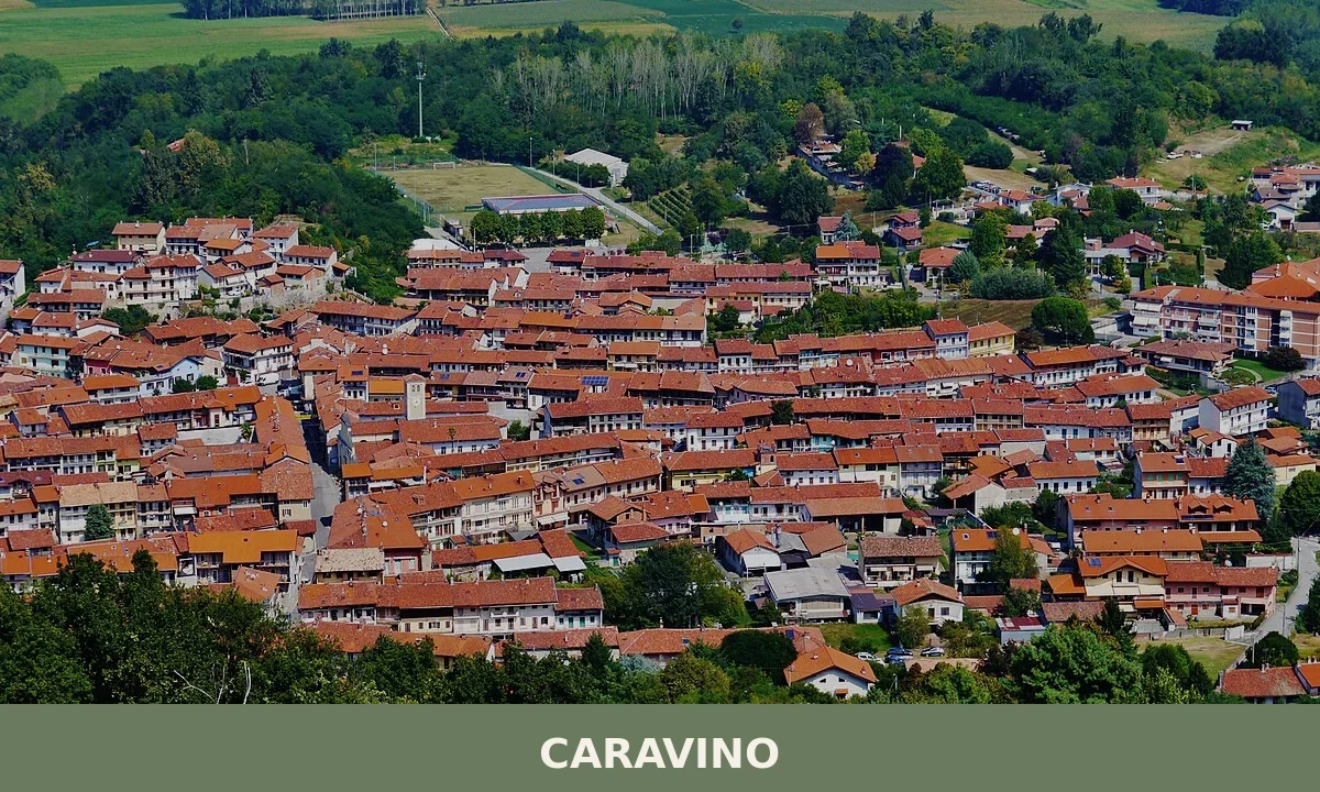
Caravino
Plains
885 residents live in this hillside village of northeastern Canavese, where medieval castles and 15th-century frescoes reveal centuries of noble patronage and religious devotion.
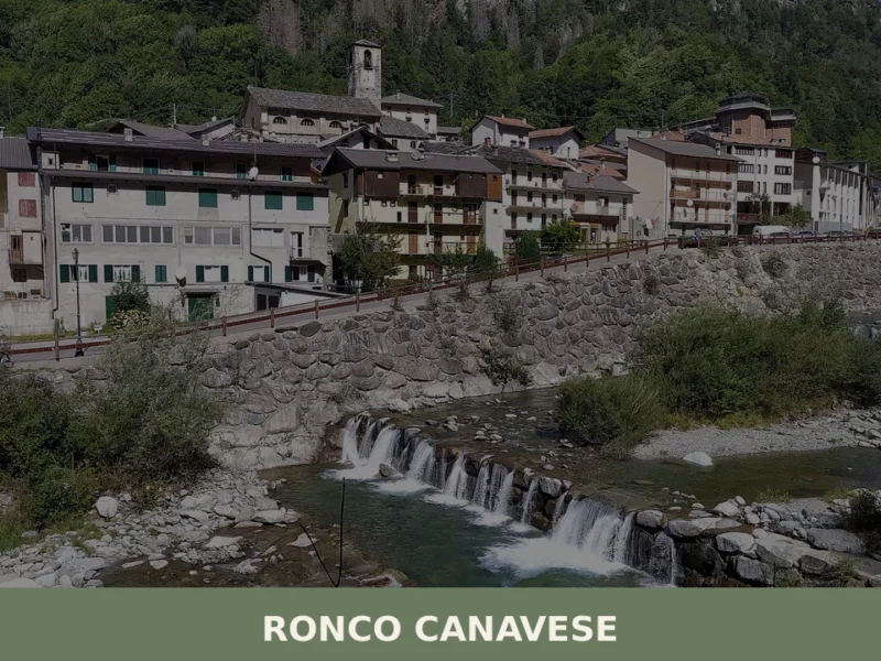
Ronco Canavese
Mountain
Ronco Canavese is home to approximately 380 inhabitants and serves as the principal reference point for the Valle Soana, a lateral valley that extends northward from the Gran Paradiso massif within the metropolitan area of Turin. Knowing what to see in Ronco Canavese requires understanding its role not as a transit point but as the […]
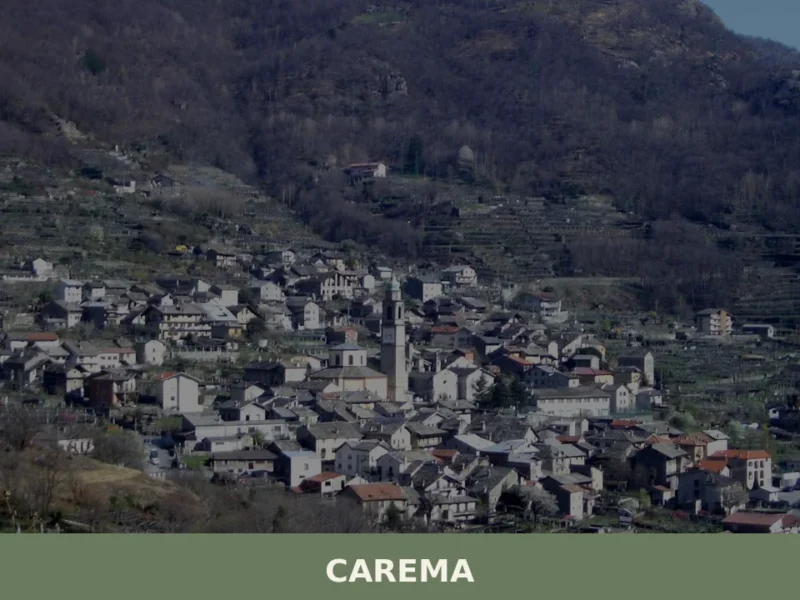
Carema
Mountain
Scopri Carema borgo medievale: un gioiello del Piemonte tra vigneti storici, torri antiche e tradizioni millenarie. Visita questo angolo unico d'Italia!
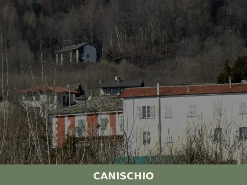
Canischio
Mountain
Scopri Canischio borgo Piemonte: storia, tradizioni e paesaggi mozzafiato tra le colline canavesane. Una meta autentica da non perdere!
Baldissero Torinese
Hills
Baldissero Torinese stands at 421 metres above sea level, on the eastern slope of the Turin hills, less than fifteen kilometres from the Piedmontese regional capital. With a population of 3,789, the municipality belongs to the Metropolitan City of Turin and retains an urban layout that still reflects its historical layers, from the medieval core […]
Angrogna
Mountain
What to see in Angrogna: Chanforan, the Ghieisa d'la Tana, Waldensian trails, historic hamlets and mountain cuisine. A complete guide to the village.
🏡 Know Giaglione better than we do?
If you’re a local or have been there, your knowledge matters: add what’s missing or fix a detail on this page.