


What to see in Bussi sul Tirino, Italy: explore 5 top attractions in the Gran Sasso National Park. Discover the Castello Mediceo and local food. Complete guide.
Discover Bussi sul Tirino
The Tirino river cuts through the limestone floor of its valley with a clarity that reads almost artificial — the water running over pale gravel beds before widening into flat reaches that mirror the rock faces above.
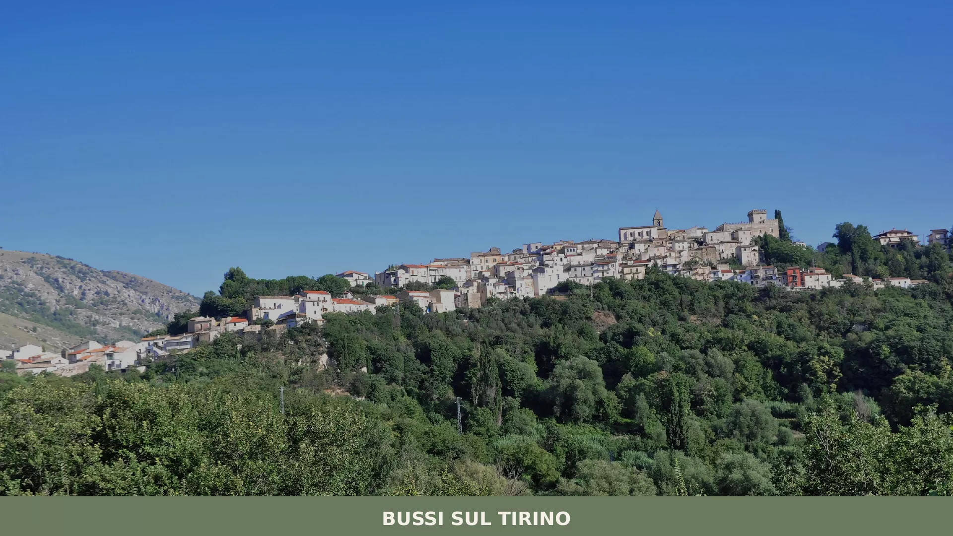
Bussi sul Tirino, known in the local Abruzzese dialect as B’Bùsce, occupies a position in the province of Pescara where the valley narrows and the surrounding ridges of the Gran Sasso massif press close on both sides.
The settlement holds its ground at the edge of this compressed geography, where the road and the river compete for the same corridor of flat land.
Deciding what to see in Bussi sul Tirino means engaging with a place shaped by its position inside the Gran Sasso e Monti della Laga National Park, one of the largest protected areas in the central Apennines. The Bussi sul Tirino highlights include the Castello Mediceo, the Tirino river itself as a natural landmark, and the network of paths that follow the valley walls into the national park.
Visitors to Bussi sul Tirino find a comune embedded in a landscape that is as geologically legible as any in Abruzzo, Italy — the exposed strata of the surrounding slopes tell a clear story without any need for interpretation.
History of Bussi sul Tirino
The name Bussi derives from the Latin buxus, meaning box tree, a plant that covered the surrounding slopes in historical times and gave the settlement its identifier long before the modern municipal boundaries were drawn. The suffix “sul Tirino” was added to distinguish the town from other places sharing similar root names, anchoring it geographically to the river that has always defined the economic and logistical life of this part of the province of Pescara. The Abruzzese dialect form, B’Bùsce, compresses the Latin origin into a sharper phonetic shape that still circulates in everyday local speech.
The territory around Bussi sul Tirino has been inhabited since pre-Roman times, with the Tirino valley functioning as a natural corridor between the Adriatic coastal plain and the interior Apennine settlements.
The valley’s role as a route through difficult terrain made it strategically relevant across multiple periods of Italian history, from Roman road-building through medieval control exercised by local feudal lords.
The presence of the Castello Mediceo — a structure whose name links it to the broader influence of noble Italian families over this part of Abruzzo — reflects the way political power in the region was organised around defensible elevated positions from which river crossings and valley passages could be monitored. Villages in the surrounding area, including Secinaro, share this pattern of medieval hilltop positioning above river valleys, each settlement commanding a different segment of the Apennine interior.
In the modern period, Bussi sul Tirino became associated with industrial activity connected to the chemical sector, a development that transformed the economic character of the valley during the twentieth century and brought a different kind of demographic pressure to a previously agricultural comune. That industrial chapter has left its physical marks on the lower valley while the upper settlement and its historic core have retained the structure established in earlier centuries.
Today the town operates as a comune within the province of Pescara, administratively embedded in the Abruzzo region and protected — at least in its natural surroundings — by the boundaries of the Gran Sasso e Monti della Laga National Park.
What to see in Bussi sul Tirino, Abruzzo: top attractions
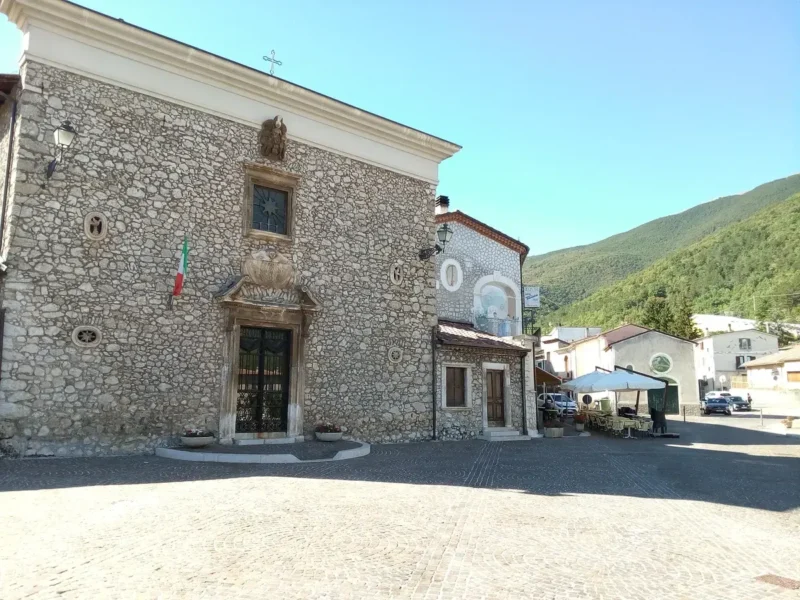
Castello Mediceo
The Castello Mediceo stands as the most architecturally significant structure associated with Bussi sul Tirino, its stone fabric representing the stratified construction history common to fortified buildings in this part of the Apennines.
The name connects the castle to the sphere of influence exercised by noble Italian lineages across central Italy during the medieval and early modern periods, though the structure itself reflects the practical military requirements of controlling the Tirino valley corridor. Visiting the castle means reading the landscape from the same elevated vantage point that made it worth building in the first place — the valley floor, the river alignment, and the approach roads all become legible from above. Access should be confirmed locally before planning a visit, as conditions at historic structures in smaller comuni can vary seasonally.
The Tirino River and its valley
The Tirino is one of the clearest rivers in the central Apennines, fed by springs that emerge from the limestone aquifers of the Gran Sasso massif at a consistent temperature throughout the year.
The river runs through the valley below Bussi sul Tirino for several kilometres before joining the Pescara river system, and its banks support riparian vegetation that contrasts sharply with the exposed rock of the valley walls rising above. Standing at river level, the geological layering of the surrounding cliffs is visible in horizontal bands of limestone and marl, some strata running for hundreds of metres without interruption. The clearest water conditions occur from spring through early autumn, when flow volumes from snowmelt and summer precipitation keep the river running full.
Gran Sasso e Monti della Laga National Park — Tirino sector
Bussi sul Tirino sits within the boundaries of the , established in 1991 and covering approximately 150,000 hectares (370,650 acres) across the provinces of Teramo, L’Aquila, Pescara, and Rieti.
The section of the park accessible from Bussi sul Tirino follows the Tirino valley upstream toward the higher elevations of the massif, where the terrain transitions from valley-floor meadows to open karst and exposed ridge lines above 2,000 m (6,562 ft).
Wildlife documented within the park includes the Marsican brown bear, the Apennine wolf, and the golden eagle, all of which use the broader park territory that extends around the Tirino sector. Walking routes from the town gain elevation relatively quickly given the compressed topography, making proper footwear and a trail map practical requirements rather than optional extras.
The historic village centre
The historic core of Bussi sul Tirino preserves the compact street plan typical of medieval Apennine settlements in the province of Pescara, where buildings were arranged to minimise exposed perimeter and share structural walls for thermal efficiency and defensive solidarity.
Stone facades line the principal lanes, with doorways and window surrounds cut from local material in dimensions that reflect the practical constraints of pre-industrial construction.
The relationship between the built fabric and the topography is direct — streets follow contour lines rather than fighting against them, and the result is a settlement geometry that makes elevation changes feel deliberate rather than accidental. Early morning or late afternoon light defines the texture of the stone surfaces most clearly, when low-angle sunlight catches the irregularities in the masonry face.
Valley walking routes and natural viewpoints
Several walking routes connect Bussi sul Tirino to the surrounding valley landscape, following paths that have been in use as agricultural and pastoral tracks for centuries before being mapped as recreational itineraries within the national park network. Elevation gains on the routes above the town can reach 300 to 400 m (984 to 1,312 ft) within the first 3 km (1.9 mi) of walking, providing views across the full width of the Tirino valley from ridge-level positions.
The routes are best attempted between April and October, when snow cover on the upper sections has cleared and the path surfaces are stable.
Those planning longer itineraries should carry water, as natural sources along the routes above the valley floor are not reliably accessible at all points.
Local food and typical products of Bussi sul Tirino
The food tradition of Bussi sul Tirino belongs to the broader culinary culture of inland Abruzzo, a tradition shaped by altitude, by the transhumance routes that historically moved livestock between the Apennine highlands and the Adriatic coastal plains, and by the agricultural practices of small-scale farming in a landscape where flat land is limited. The Tirino valley’s position between the Gran Sasso massif and the Pescara plain placed it on the edge of two distinct food-production zones — the pastoral and the arable — and the local kitchen draws from both without being entirely defined by either.
Grain, legumes, preserved meats, and fresh vegetables from kitchen gardens form the structural base of the diet, as they do across the province of Pescara.
Among the dishes that appear consistently across the inland Pescara area, pasta alla chitarra holds a defining position. This egg pasta is cut using a wooden frame strung with steel wires — the chitarra, literally “guitar” — which produces square-section spaghetti with a rough surface that holds sauce efficiently. It is typically served with a lamb ragù built from slow-cooked cuts, tomato, and local chilli, the fat from the meat integrating with the tomato over a cooking time of at least two hours.
Arrosticini are another staple of this part of Abruzzo: small cubes of castrated sheep meat threaded onto thin wooden skewers and cooked over a long, narrow charcoal brazier called a furnacella, the fat dripping directly onto the coals to produce a characteristic smoke that flavours the meat from outside.
Brodetto di pesce — a fish stew — belongs more naturally to the coastal section of Pescara province, but preserved fish preparations do appear in inland contexts through historical trade connections along the valley.
Legumes grown in the Apennine interior of Abruzzo include lentils and chickpeas cultivated at elevations that produce small, dense seeds with a concentrated flavour profile. These appear in soups built with local olive oil, garlic, and dried chilli, often thickened with a small amount of broken pasta cooked directly in the broth.
Local pecorino cheese, produced from the milk of sheep that graze the park territory surrounding the valley, is aged at varying stages from fresh to hard-rind forms; the harder versions are used grated over pasta, while younger forms appear on cheese boards alongside cured meats. No specific certified PDO or PGI products are documented in the available sources as being tied specifically to Bussi sul Tirino, but the broader Abruzzo sheep-farming tradition supplies the local food economy with consistent raw materials.
The best opportunity to encounter local food production directly is at seasonal markets and the smaller community food events that take place in the summer months across the inland Pescara area.
Villages throughout the valley organise sagre — traditional food festivals, typically tied to a single ingredient or dish — between June and September, when visitor numbers are higher and produce from local gardens and farms is at its most varied. Carrying cash is practical in smaller settings, as card payment infrastructure is not universal in the inland village economy.
Festivals, events and traditions of Bussi sul Tirino
Religious and civic festivals in Bussi sul Tirino follow the calendar pattern common to Catholic communities in the province of Pescara, with the feast of the patron saint providing the anchor point around which the most significant local celebrations are organised.
These events typically combine a formal religious procession through the streets of the historic centre with an outdoor public gathering that extends into the evening, incorporating local food, music, and the lighting of fireworks after dark.
The procession follows a route through the principal lanes of the old town, with the statue of the patron saint carried by members of the local confraternity — a confraternita, a lay religious association with roots going back several centuries in Abruzzese civic life.
Summer is the period when the social calendar of inland Abruzzo communities is most active, with the warmer months bringing back residents who have moved to larger urban centres during the working year. This seasonal return swells the practical audience for local events and gives the village a different social density between June and August than it maintains through the rest of the year.
Community gatherings tied to food, to local craft production, and to the agricultural cycle take place informally across this period, though precise dates for individual events in Bussi sul Tirino should be verified through the municipal administration or local tourism contacts before travel, as schedules can shift from year to year.
When to visit Bussi sul Tirino, Italy and how to get there
The best time to visit Bussi sul Tirino in terms of weather and access to outdoor routes is between late April and early October.
Spring brings the highest water levels in the Tirino river and the most intensive flowering of vegetation along the valley floor, while June through August offers the longest daylight hours for walking and the warmest temperatures at valley level. September and early October reduce the summer heat while keeping conditions dry and stable — a combination that works particularly well for visitors planning to use the national park paths above the town.
Winter months bring cold temperatures and the possibility of snow at higher elevations within the park, which limits access to upper routes but does not entirely close the valley-level walking options.
Bussi sul Tirino, Abruzzo, Italy sits approximately 70 km (43.5 mi) east of L’Aquila and roughly 50 km (31 mi) from Pescara, the nearest major city with a full transport infrastructure. From Rome, the journey by car covers approximately 200 km (124 mi), taking around two hours via the A24 motorway in the direction of L’Aquila and then eastward toward the Pescara province. The nearest motorway exit on the A25 Pescara–Roma axis is Bussi-Popoli, which places drivers within a few kilometres of the town centre.
Train services run from Trenitalia along the Pescara–Sulmona–Roma line, with a stop at Bussi sul Tirino station that connects the town to both Pescara (approximately 50 minutes) and to the rail network toward Rome. Pescara Abruzzo Airport handles domestic and some international routes and sits approximately 50 km (31 mi) from the town, reachable by a combination of bus and train or by car. International visitors should note that English is not widely spoken in smaller shops and services within the village; carrying some euros in cash is practical, as card payment acceptance is not guaranteed in all local establishments.
For those travelling as a day trip from Pescara, Bussi sul Tirino fits comfortably within a half-day itinerary combined with stops along the Tirino valley.
The village of Rosello, further south in the Abruzzo interior, offers a comparable valley landscape and can be included in a broader Abruzzo itinerary for travellers with more time. Similarly, Colledimezzo — a small comune set above the Sangro lake — represents a different but geographically accessible part of inland Abruzzo for those extending their itinerary beyond the Tirino valley.
Frequently asked questions about Bussi sul Tirino
What is the best time to visit Bussi sul Tirino?
Spring (April–June) and early autumn (September–October) are the best seasons, when temperatures are mild, the Tirino river runs clear, and walking routes in the Gran Sasso e Monti della Laga National Park are fully accessible. Summer works well for river walks and valley exploration. Winter visits coincide with the Feast of San Biagio, the town's patron saint, celebrated on 3 February — a local tradition worth experiencing if you are in the area during the colder months. Avoid the upper trails from November to March due to snow and unstable path surfaces.
What are the historical origins of Bussi sul Tirino?
The name Bussi derives from the Latin buxus, meaning box tree, referring to the vegetation that historically covered the surrounding slopes. The suffix 'sul Tirino' was added to anchor the town geographically to the river that has long defined the valley's economic life. The Tirino valley has been inhabited since pre-Roman times, functioning as a natural corridor between the Adriatic coast and the Apennine interior. During the medieval period, local feudal lords controlled the valley from elevated fortified positions, a pattern reflected in the Castello Mediceo. The local dialect form, B'Bùsce, preserves the Latin root in compressed phonetic form.
What to see in Bussi sul Tirino? Main monuments and landmarks
The principal landmark is the Castello Mediceo, a fortified structure overlooking the Tirino valley whose name reflects the influence of noble Italian lineages across central Italy. From its elevated position, the valley floor, river alignment, and approach roads are all visible. The compact historic village centre preserves stone-faced lanes and a medieval street plan that follows the natural contours of the hillside. The Tirino river itself, fed by Gran Sasso limestone springs, is a landmark in its own right — one of the clearest rivers in the central Apennines. Confirm castle access locally before visiting, as opening conditions vary seasonally.
What are the main natural or scenic attractions of Bussi sul Tirino?
Bussi sul Tirino sits within the Gran Sasso e Monti della Laga National Park, established in 1991 and covering approximately 150,000 hectares across four provinces. The Tirino sector offers walking routes that gain 300–400 metres of elevation within the first 3 km, transitioning from valley-floor meadows to open karst and ridge lines above 2,000 m. The Tirino river, fed by constant-temperature limestone springs, is among the clearest in the central Apennines. The park's wildlife includes the Marsican brown bear, Apennine wolf, and golden eagle. Routes are best attempted between April and October.
Where to take the best photos in Bussi sul Tirino?
The elevated position of the Castello Mediceo provides the clearest panoramic view across the Tirino valley, with the river alignment and surrounding ridges of the Gran Sasso massif visible from above. At river level, the horizontal limestone and marl strata of the valley walls make for striking geological compositions, best photographed when the water is running full in spring and early summer. The historic village centre rewards photography in early morning or late afternoon, when low-angle light catches the texture and irregularities of the local stone facades along the principal lanes.
What can you do in Bussi sul Tirino? Activities and experiences
The main activities centre on the natural environment. Walking routes within the Gran Sasso e Monti della Laga National Park connect the town to the valley and upper karst terrain, with elevation gains suitable for moderately experienced hikers. The Tirino river offers scenic walks along its banks from spring through early autumn. The historic village centre can be explored on foot, following the contour-aligned medieval street plan. The Feast of San Biagio on 3 February provides a local cultural experience in winter. Carry water on upper trails, as natural sources are not reliably accessible at all points along the routes.
Who is Bussi sul Tirino suitable for? Families, couples, hikers, solo travelers?
Bussi sul Tirino suits hikers and nature-oriented travellers most directly, given its position inside the Gran Sasso e Monti della Laga National Park and the network of valley and ridge-level walking routes. The Tirino river and its clear, spring-fed water appeal to those interested in natural landscapes and geology. The compact historic centre and slower pace make it a genuine destination for couples seeking an off-the-beaten-track Abruzzese experience. Families comfortable with moderate walking will find the valley-floor routes manageable. It is less suited to visitors seeking nightlife, beach access, or large-scale cultural attractions.
What to eat in Bussi sul Tirino? Local products and specialties
The local table follows the culinary tradition of inland Abruzzo. Pasta alla chitarra — square-section egg pasta cut on a wire-strung wooden frame — is the defining first course, typically served with slow-cooked lamb ragù made with tomato and local chilli. Arrosticini, small cubes of castrated sheep threaded on thin skewers and grilled over a narrow charcoal brazier called a furnacella, are the region's most emblematic street food. Both dishes reflect the area's pastoral heritage and its position along historical transhumance routes between the Gran Sasso highlands and the Adriatic coastal plain.
📷 Photo Gallery — Bussi sul Tirino
Getting there
Via Regina Margherita, 65022 Bussi sul Tirino (PE)
Nearby Villages near Bussi sul Tirino

In Abruzzo More villages to discover
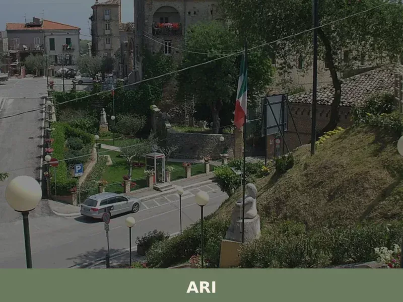
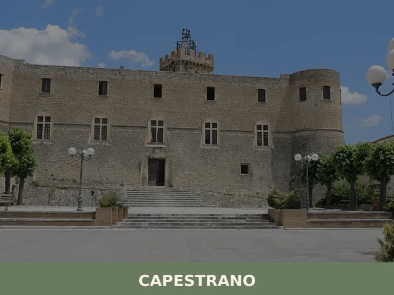
Ari
Ari has 1,071 inhabitants spread across a hilly area at 289 metres above sea level, in the strip of land that separates the Teatine coast from the first undulations of the Maiella massif. The municipality, in the province of Chieti, occupies a position that commands a view over the valley corridor of the Dendalo stream, […]
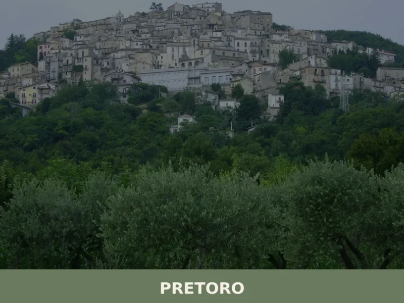
Pretoro
Pretoro is a compact medieval settlement in Chieti province, Abruzzo, clinging to the eastern face of the Maiella massif at around 539 metres above sea level.
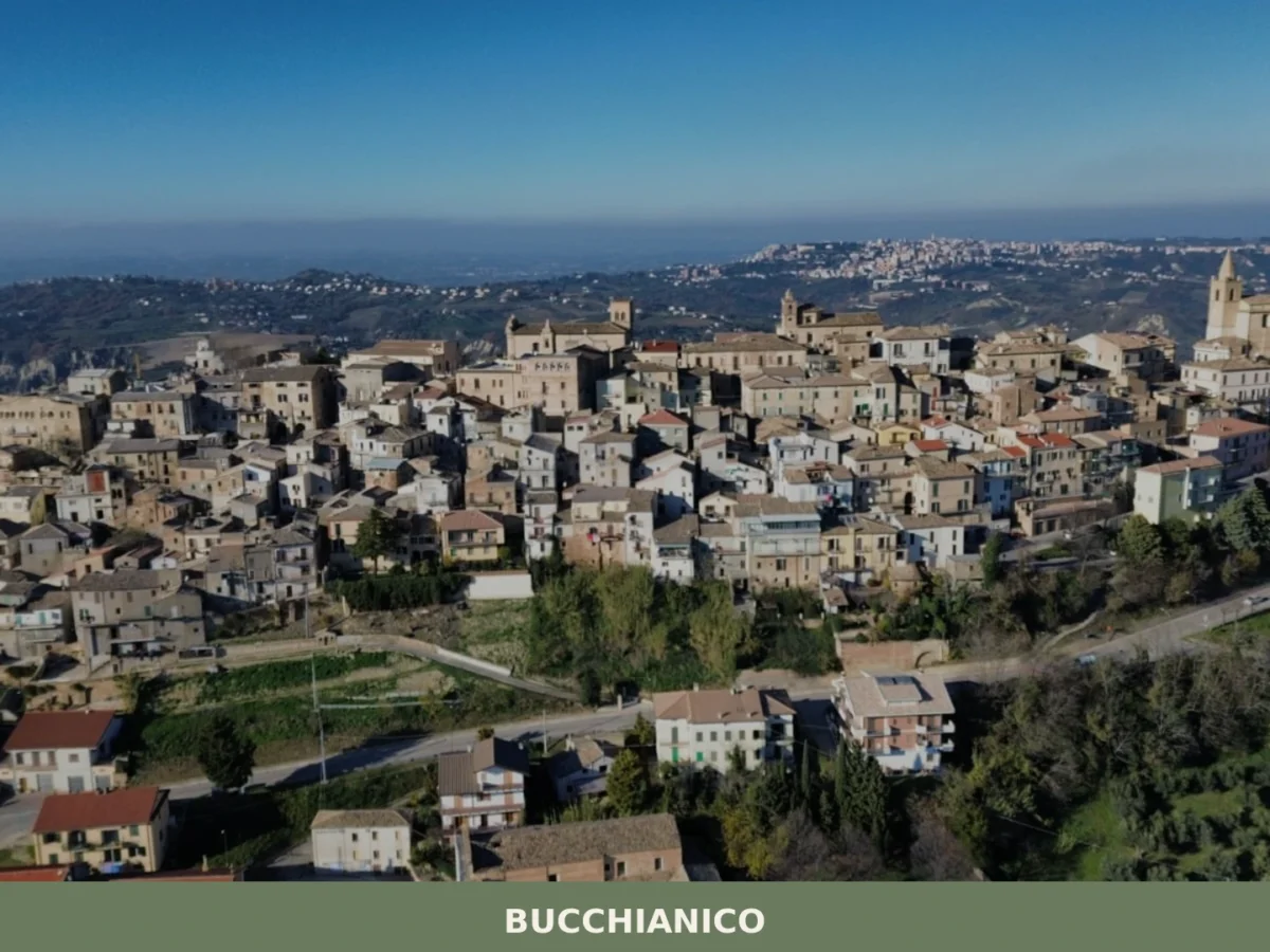
Bucchianico
What to see in Bucchianico, Abruzzo, Italy: explore 5 top attractions, local olive groves, the legacy of Saint Camillus de Lellis. Discover the best of this Chieti hill town.
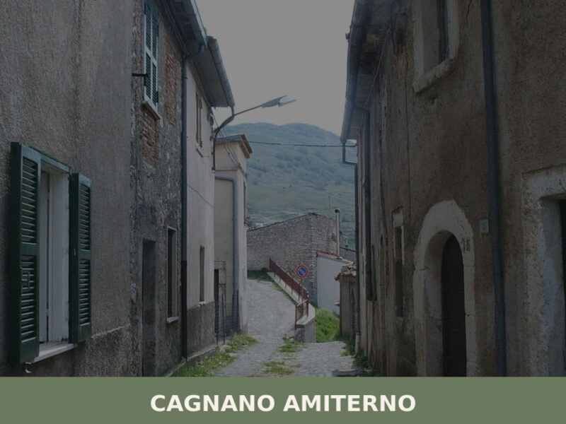
Cagnano Amiterno
Morning light falls flat across the high plateau west of L’Aquila, catching the stone walls of a settlement that has survived earthquakes, depopulation, and the slow erosion of memory. The air carries woodsmoke and the cold mineral scent of mountain water. Cagnano Amiterno, home to just over 1,400 residents, sits in a landscape shaped by […]
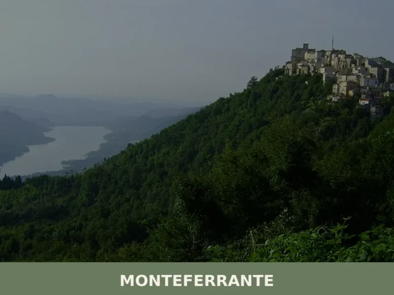
Monteferrante
Monteferrante is a small mountain comune at 783 metres in the province of Chieti, Abruzzo, with documented history reaching back to the twelfth century and a resident population of around 103.
Collelongo
At 915 metres above sea level, in the innermost stretch of the Valle Roveto, Collelongo has 1,108 inhabitants and a position that keeps it close to the Apennine ridges of the province of L’Aquila. In this article History and origins of Collelongo What to See in Collelongo: Main Attractions Traditional cuisine and products of Collelongo […]
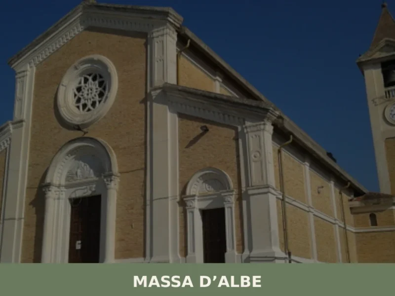
Massa d’Albe
What to see in Massa d'Albe: 5 attractions including Roman ruins, medieval churches and views over Fucino. Complete guide to visiting this Abruzzo village.
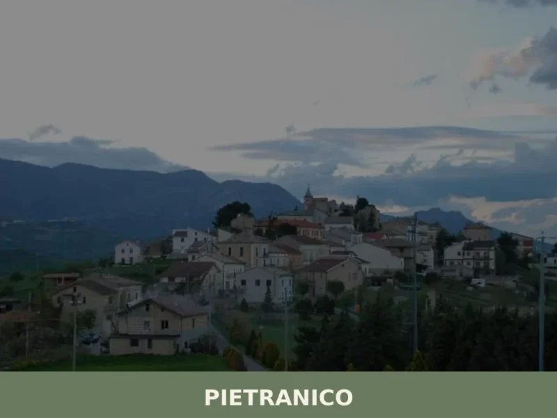
Pietranico
What to see in Pietranico, Abruzzo, Italy: 506 inhabitants, a medieval castle site, and wind-swept hilltop views. Discover top attractions and how to get there.
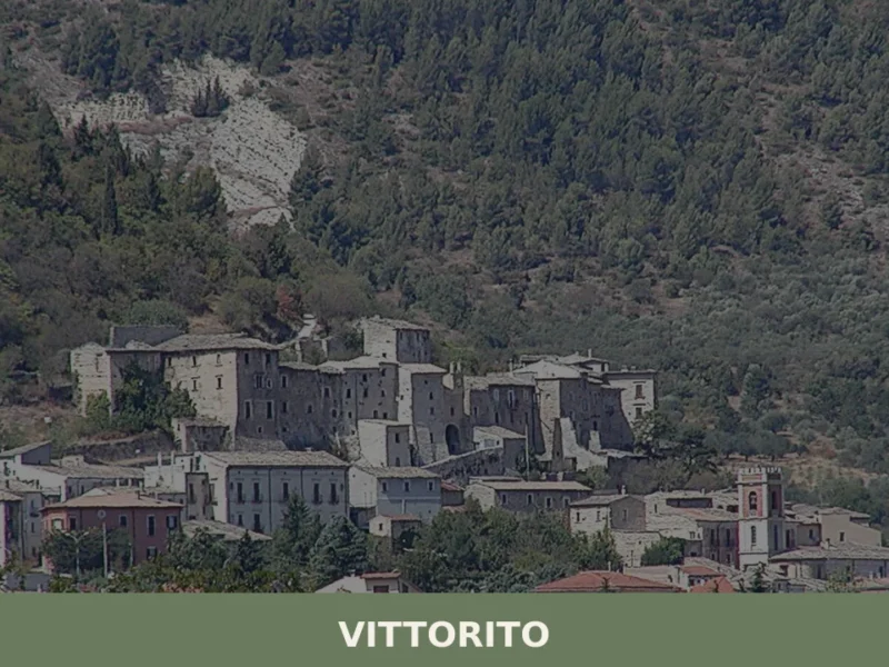
Vittorito
Vittorito is a compact mountain settlement in the L'Aquila province of Abruzzo, where a medieval tower above the Valle Peligna and the slopes of Monte Castellano define a landscape that rewards the cu
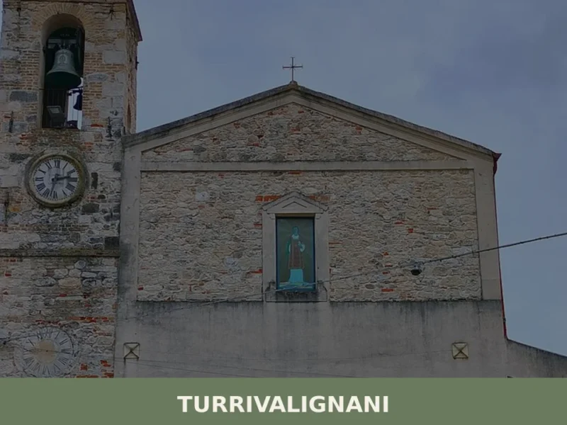
Turrivalignani
Turrivalignani is a compact hill village on a clay spur in Abruzzo's central Val Pescara, defined by eroded calanchi landscapes, medieval monastic roots, and an unaffected rural character.


🏡 Know Bussi sul Tirino better than we do?
If you’re a local or have been there, your knowledge matters: add what’s missing or fix a detail on this page.